Barra El Potrero, Playa EscobillaPlayas of Oaxaca - Aerial PhotosReturn to Flight to Huatulco
|
|
|
|
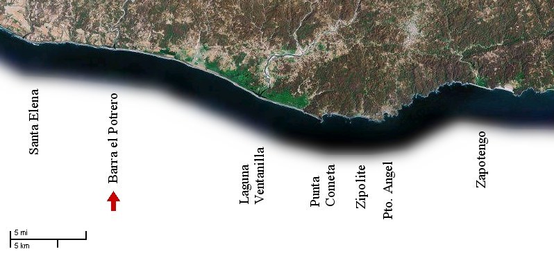
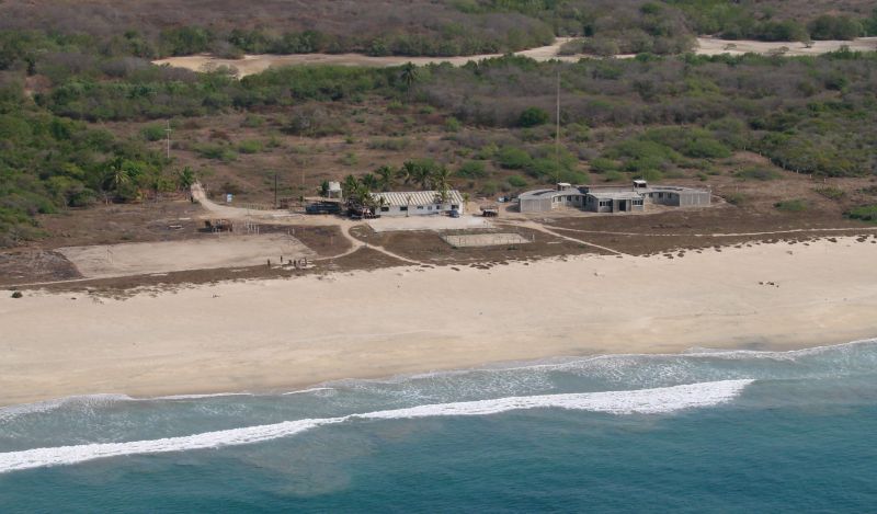
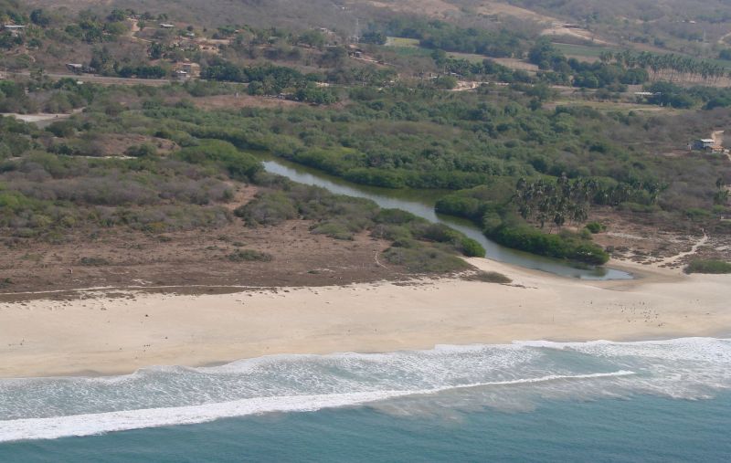
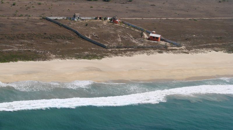
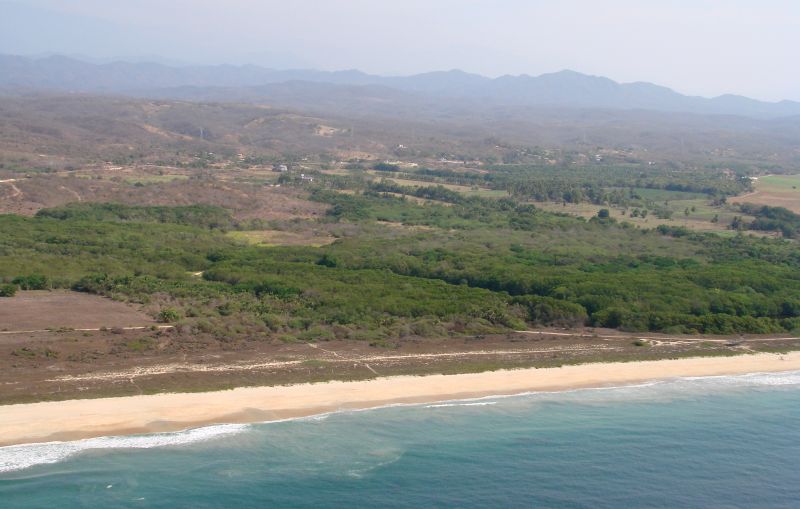
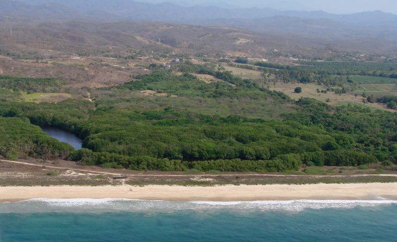
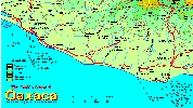
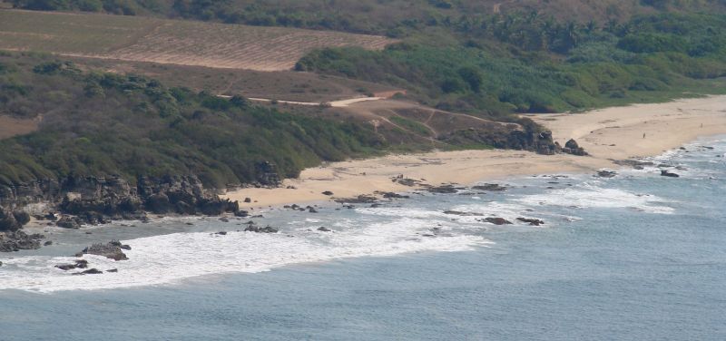
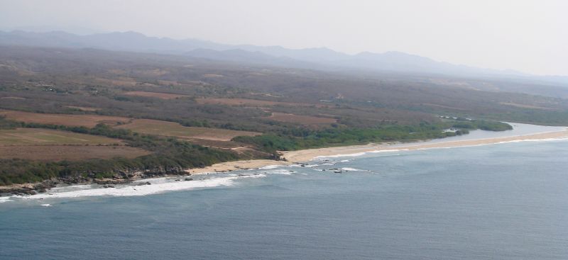
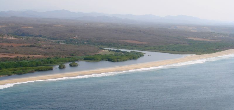
I began this photo-taking flight by flying to Santa Elena, which is 14 miles east (along the coast) from Puerto Escondido, turning around and taking photos on the way back. The photos on this page are in the area of Barra El Potrero
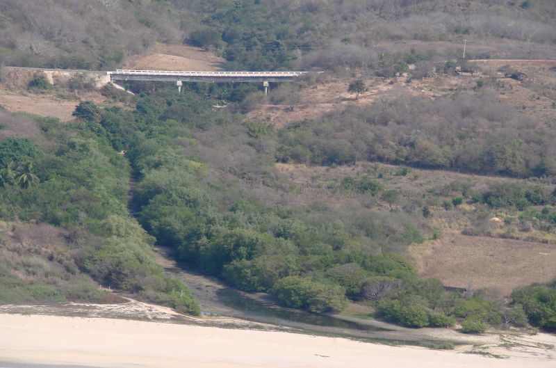
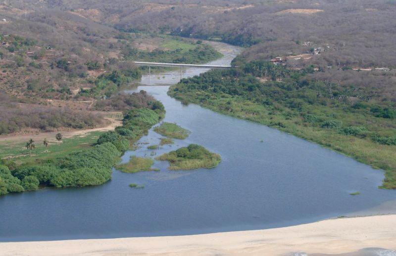
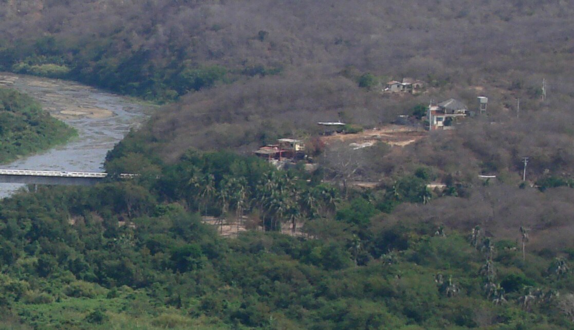 A closer look at Barra el Potrero. An Iguaneria is located at the east end of the bridge, obscured by a grove of trees just to the left of center. It is run and privately funded by Elpidio Marcelino Lopez Reyes, one of the veterinarians at the Turtle Center. There are up to 3000 iguanas being raised at the Iguaneria at any given time. The goal is to restore the local population of green and black Iguanas that have been depleted by predation and loss of habitat. They are released when they reach 2 years of age. Marcelino has been featured in an NPR broadcast entitled “The Turtle Vigilante” about his work protecting turtles and their nesting sites in the area. Marcelino lives in the house on the opposite side of the highway visible at center in the photo. Tours of the Iguanaria are available 20 pesos for adults, 10 pesos for children. |