More PhotosHuatulco to Tampico:
Return to Huatulco to Tampico |
|
|
|
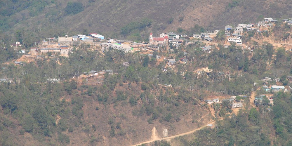
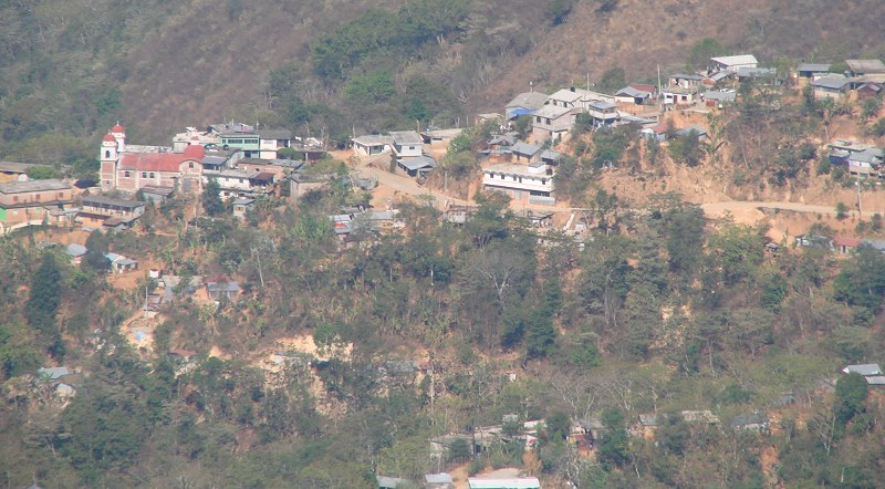
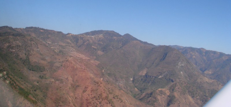
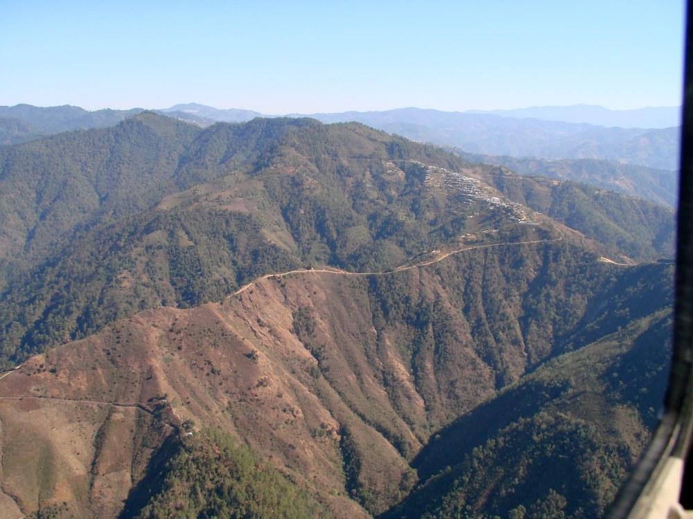
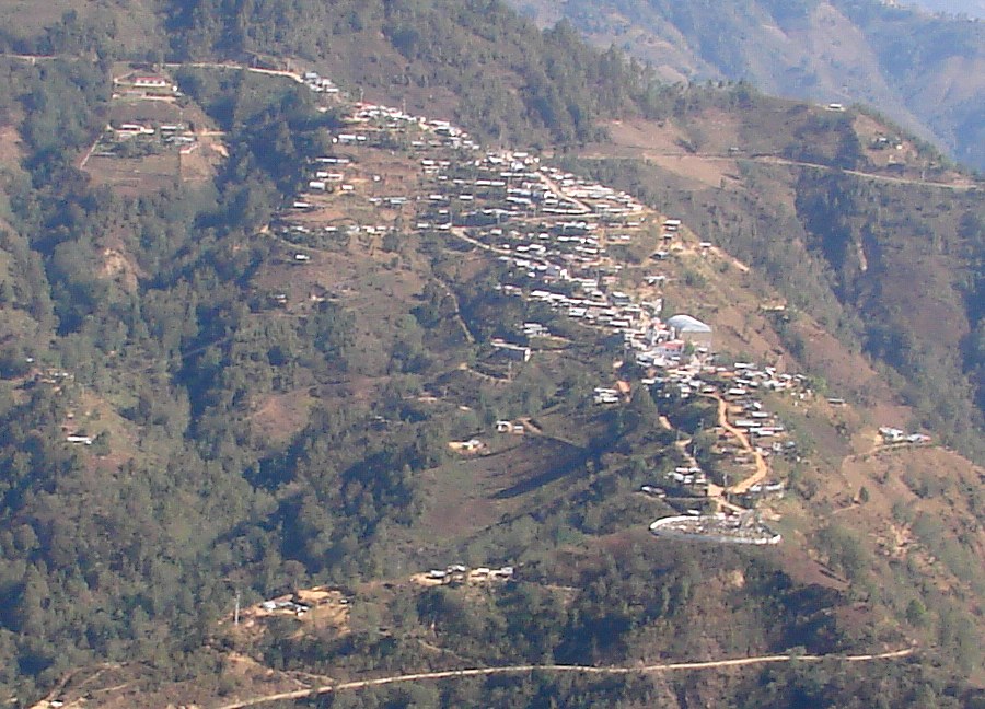
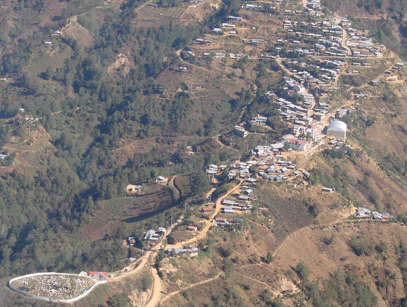
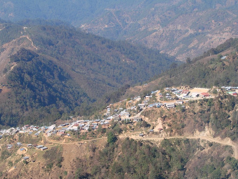
Page 1: Santa María Huatulco and Pluma Hidalgo Page 2: Espinazo del Diablo and San Pedro del Alto Page 3: San Miguel Suchixtepec and Oaxaca Page 4: Pico de Orizaba Page 5: Arriving at Tampico |
|
Page 1: Santa María Huatulco and Pluma Hidalgo Page 2: Espinazo del Diablo and San Pedro del Alto Page 3: San Miguel Suchixtepec and Oaxaca Page 4: Pico de Orizaba Page 5: Arriving at Tampico |
Return to Huatulco to Tampico