
It's IFR across south Texas. Not much to look at.
It's IFR across south Texas. Not much to look at.

There are clouds
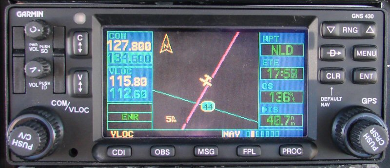
NLD is Nuevo Laredo

And some mountains in the distance
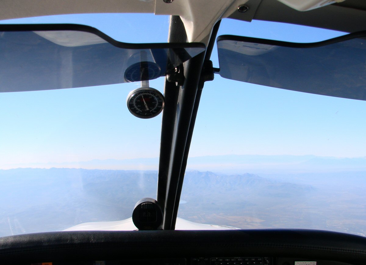
We're in Mexico now. Outside air temperature is 0°C at 8000'.

Less glare in this photo
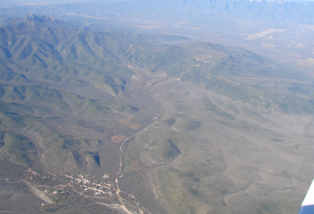
Passing by a small town ESE of El Ebano, 40 miles north of Monterrey. Can you name it? tom@tomzap.com
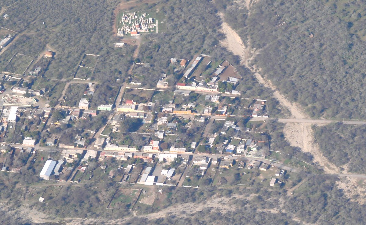
A closer look
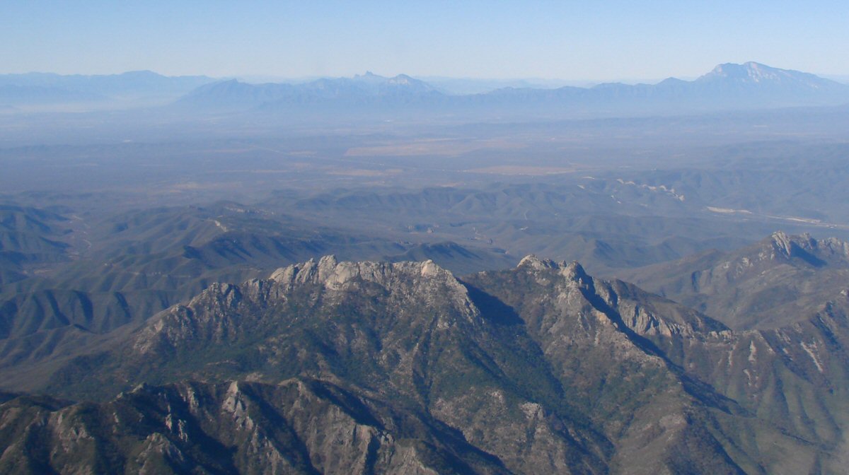
More mountains
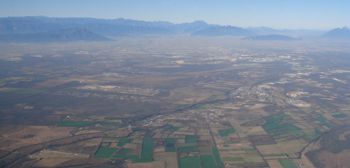
Approaching Monterrey
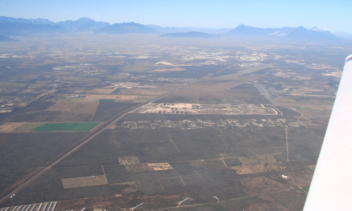
There's the airport
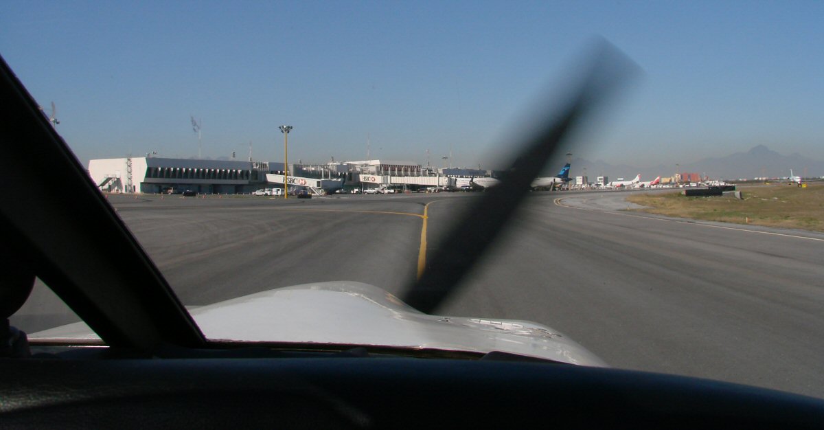
Monterrey International Airport. If you want to sound like you know what you're doing when you don't, just request "progressive taxi instructions".
Return to Flight to Manzanillo, Georgetown to Monterrey