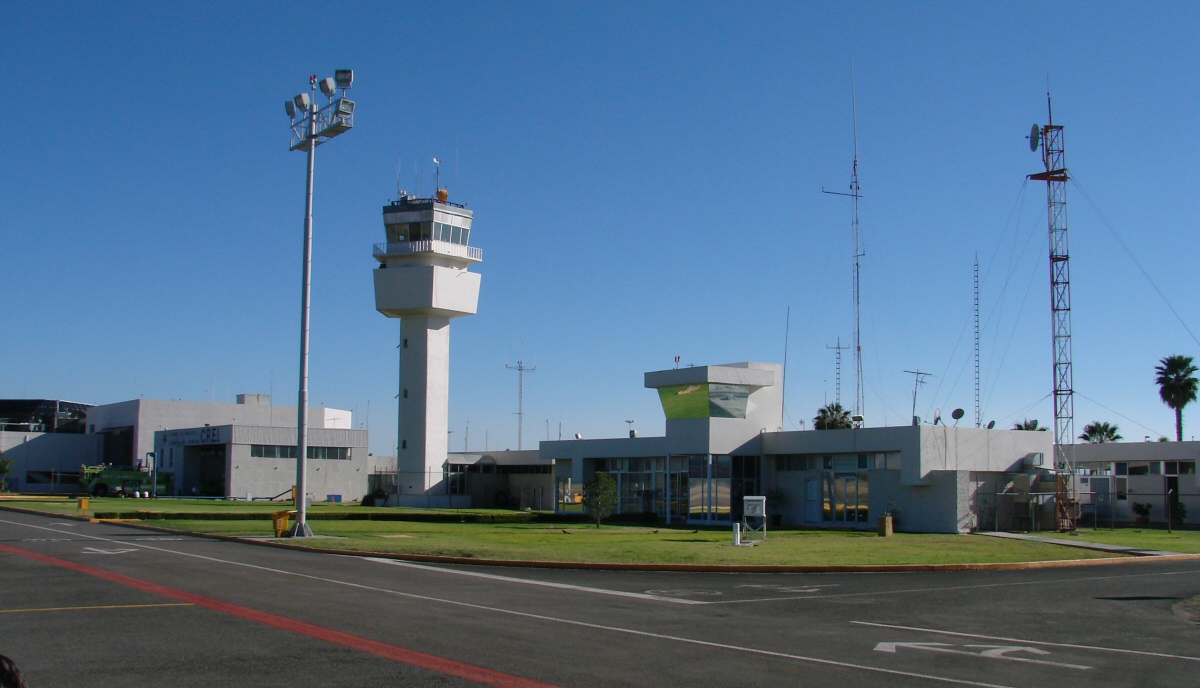
Leon - Guanajuato Airport
|
Leon - Guanajuato Airport
Cruising at 12,500' near sunset with a lot of moisture in the air, it was difficult to get many good photos.
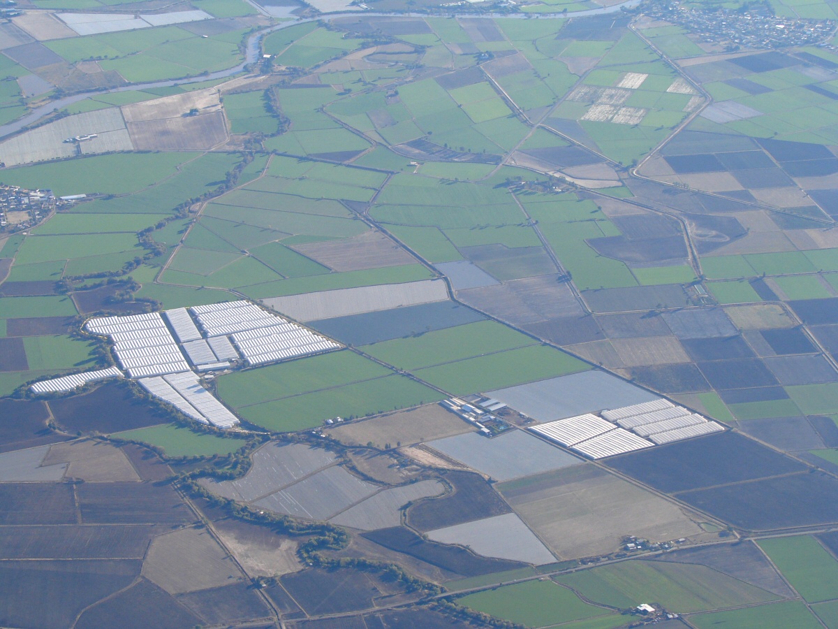
Agricultural land east of Laguna de Chapala
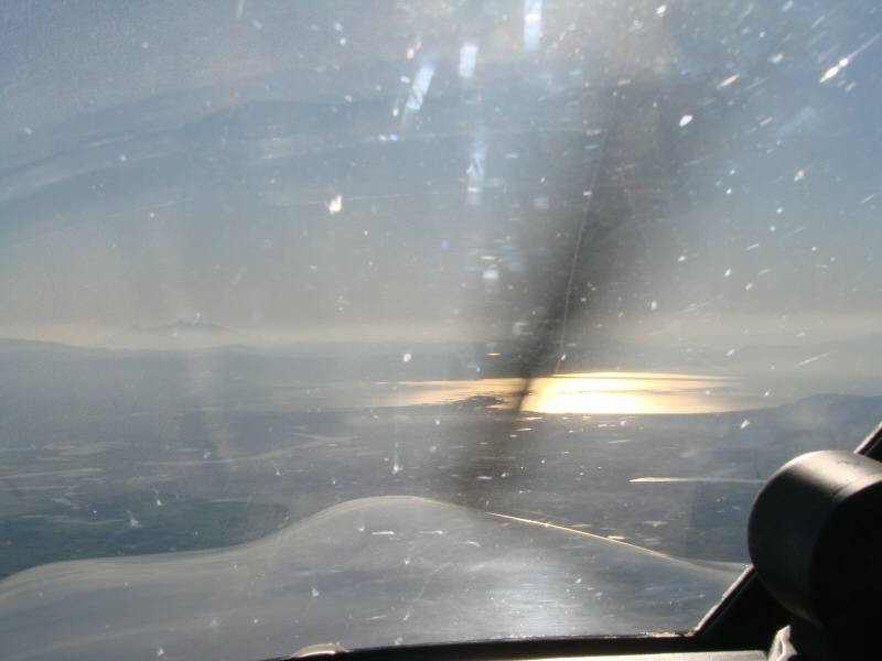
Looking into the sunset at Laguna de Chapala
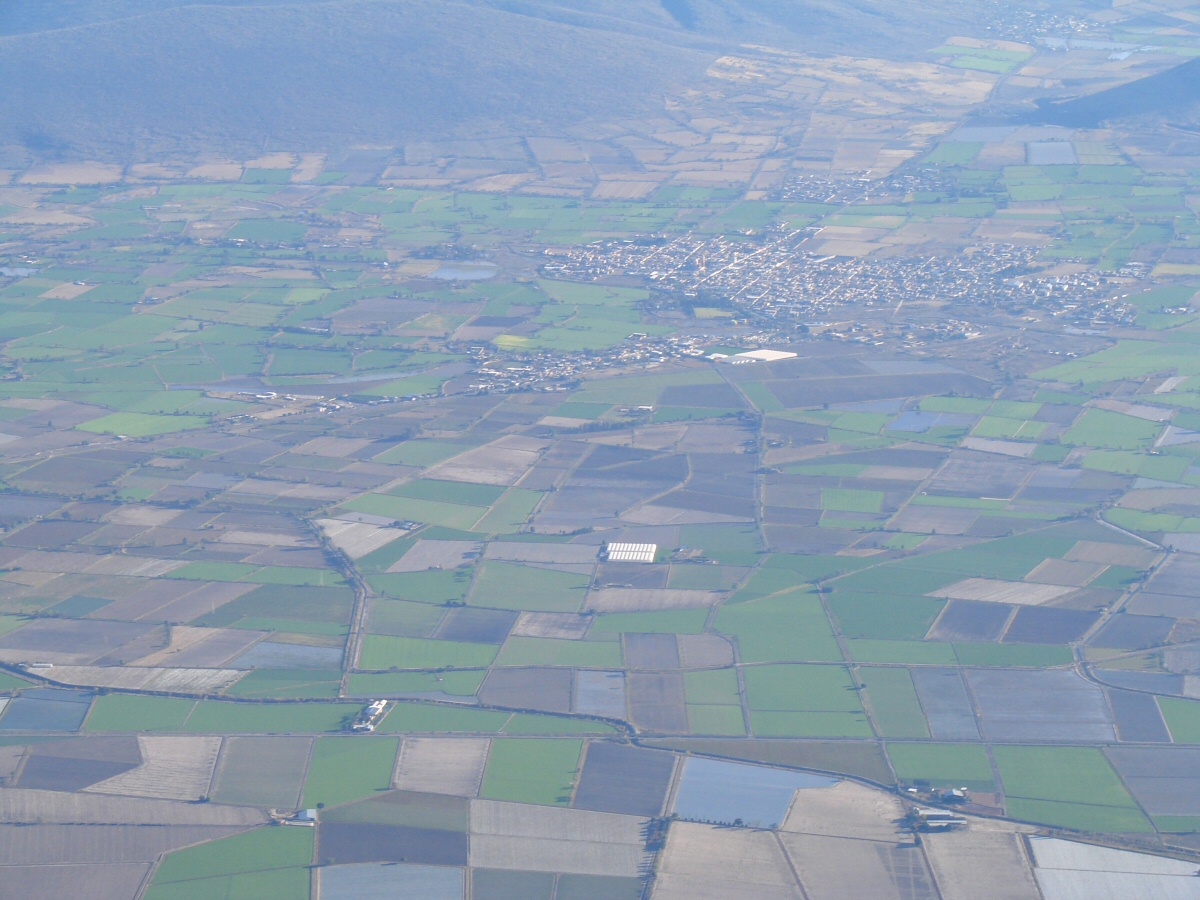
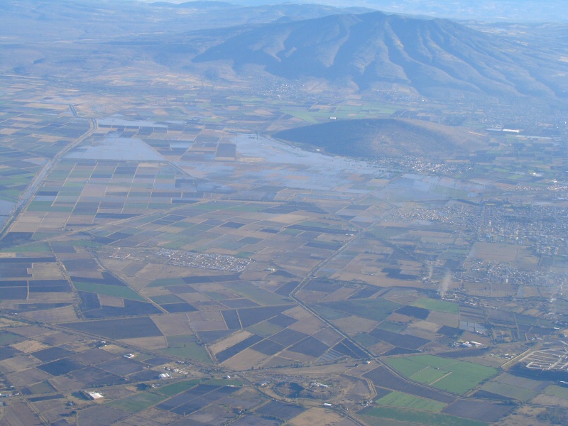
East of Laguna Chapala
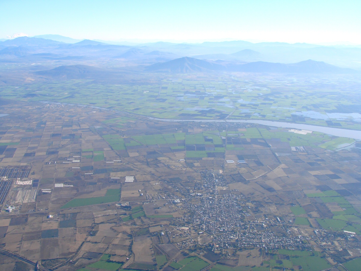
Río Lerma, which flows into Laguna de Chapala
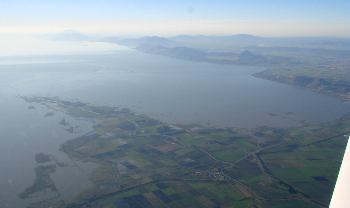
Laguna de Chapala after heavy rains
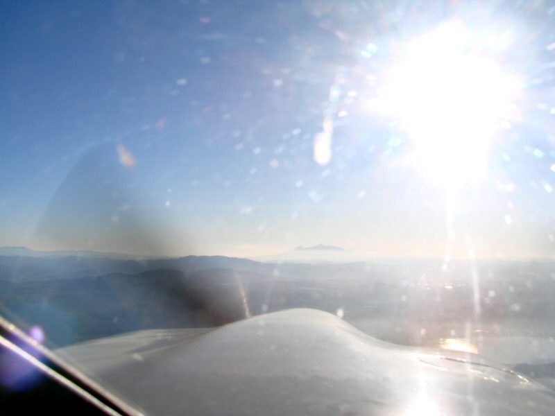
Nevado de Colima in the distance seen from over Laguna de Chapala
Flooding near Laguna de Chapala
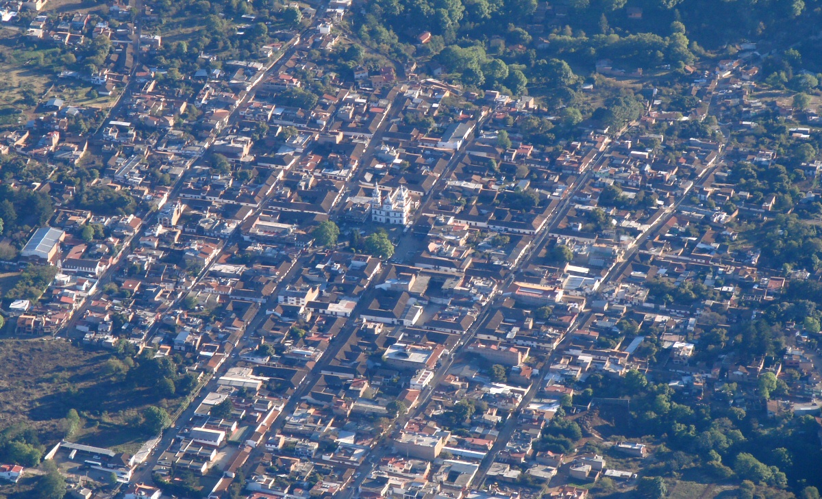
I'll figure out where this is later... Mazamitla, I think 23:56Z
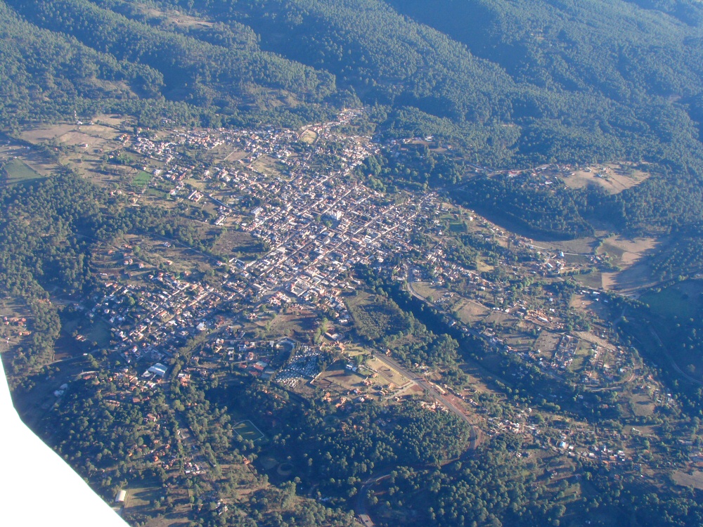
A wider view
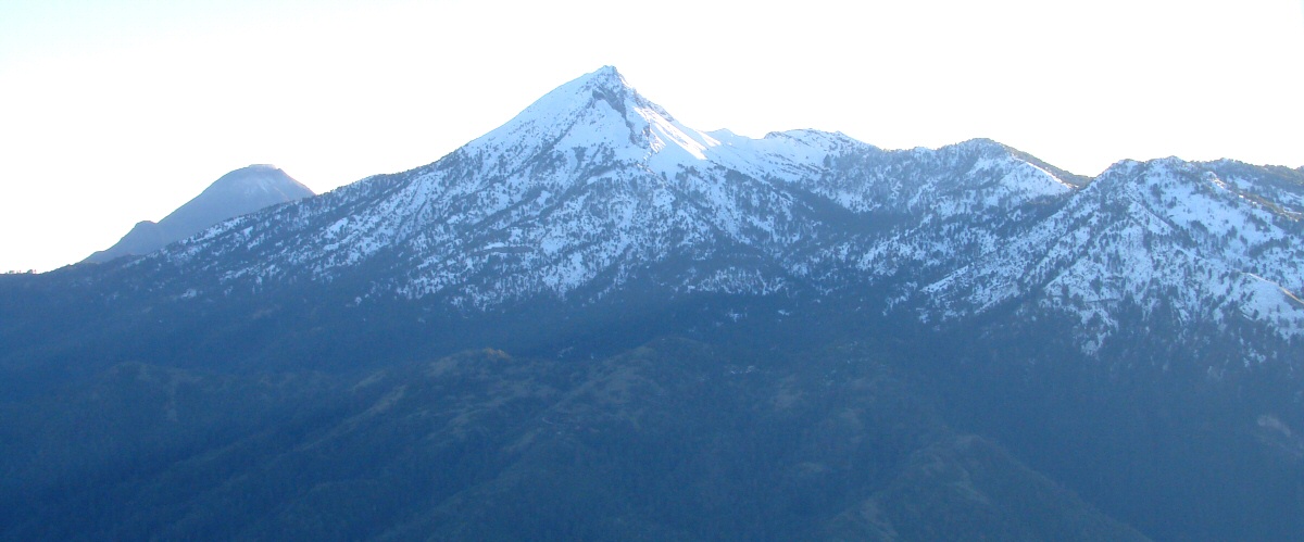
Approaching Nevado de Colima (snow) and Volcán de Colima (far left)
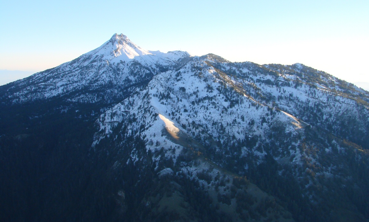
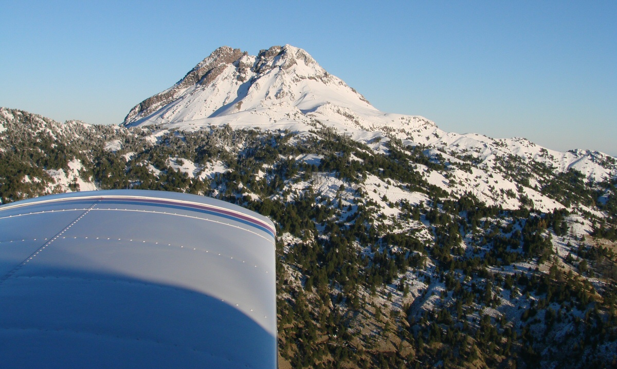
Nevado de Colima
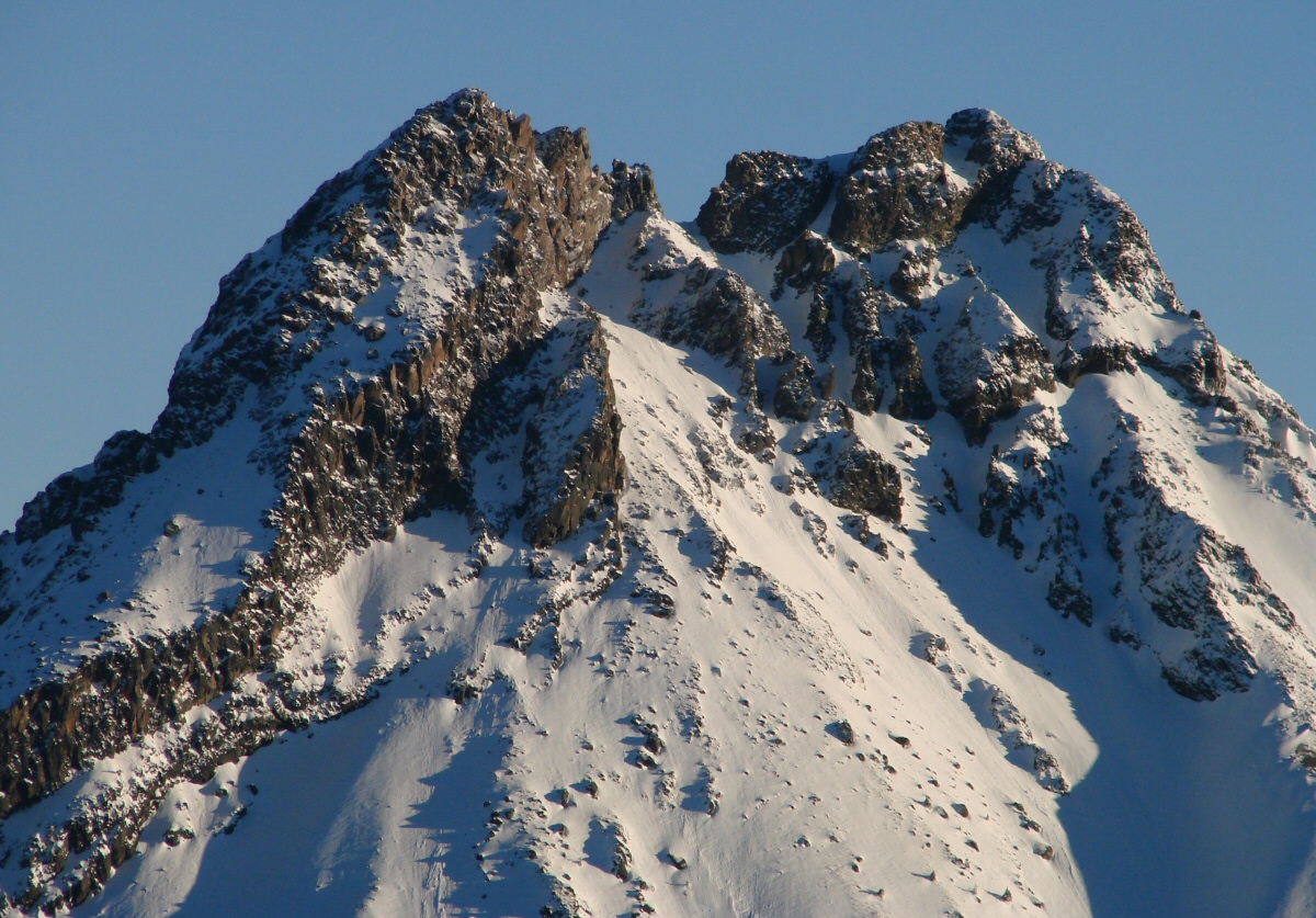
Nevado de Colima, northwestern slope up close
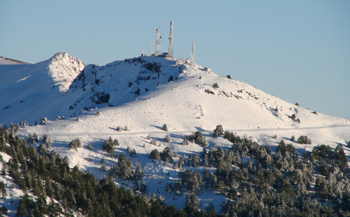
Antenna towers on western flank of Nevado de Colima
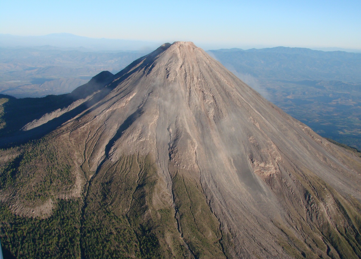
Volcán de Colima, northwestern slope
Another view of the northwestern slope
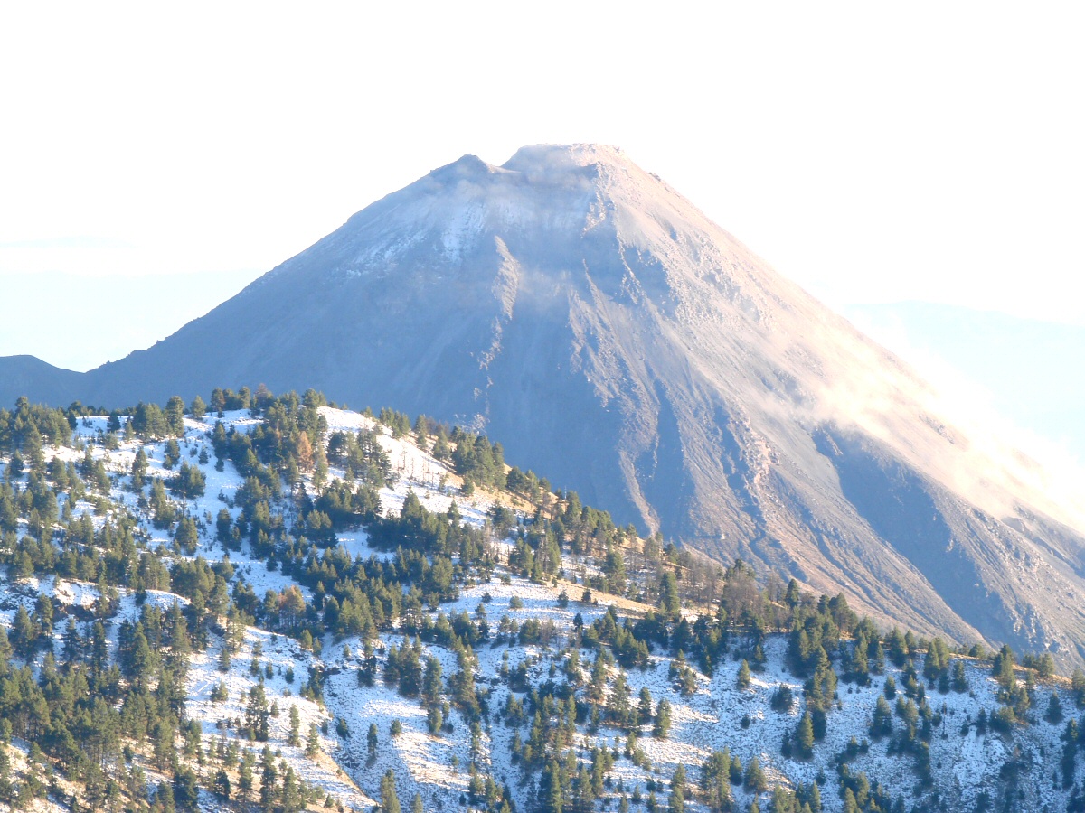
Looking back at Nevado de Colima from the west
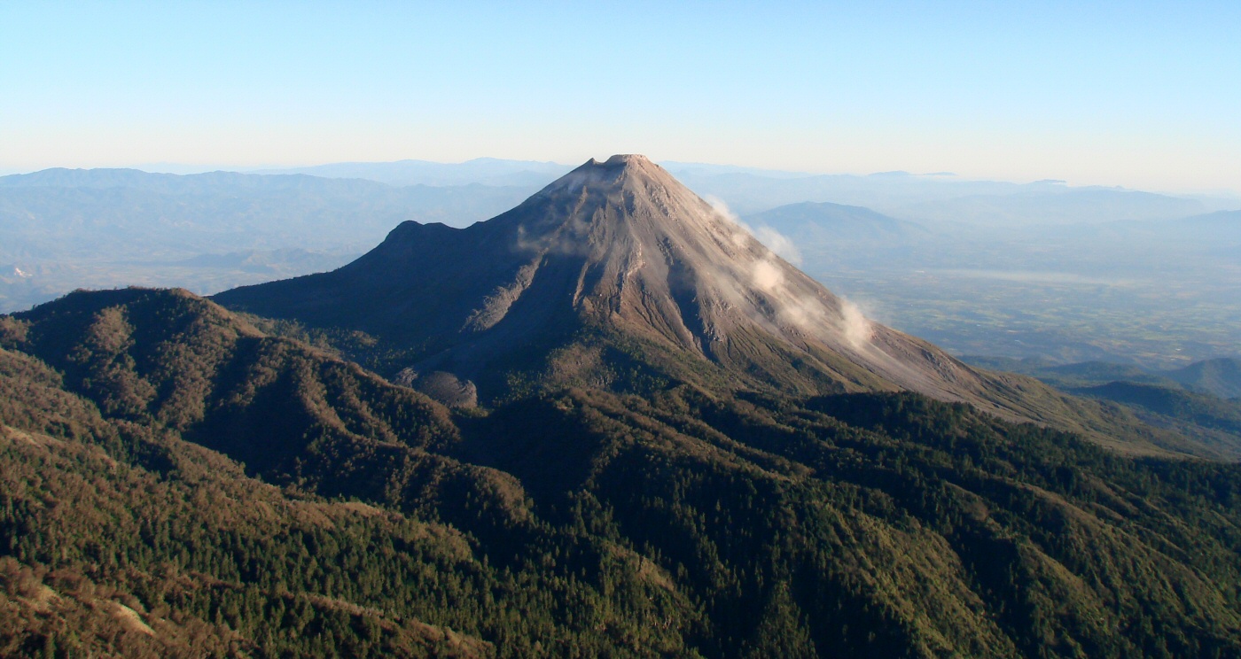
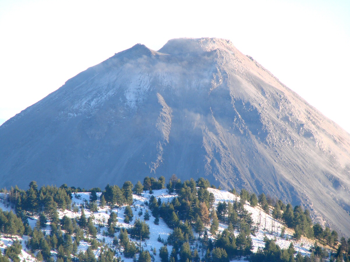
Volcán de Colima, from the west
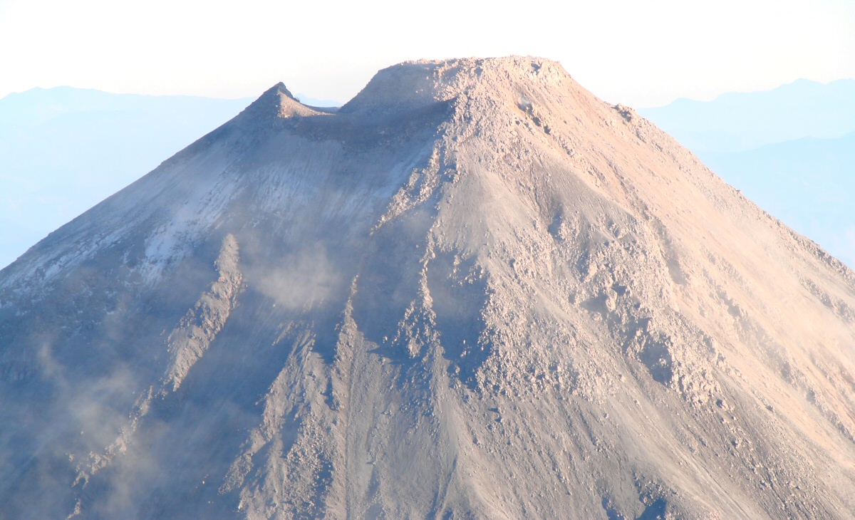
A closer look at the crater
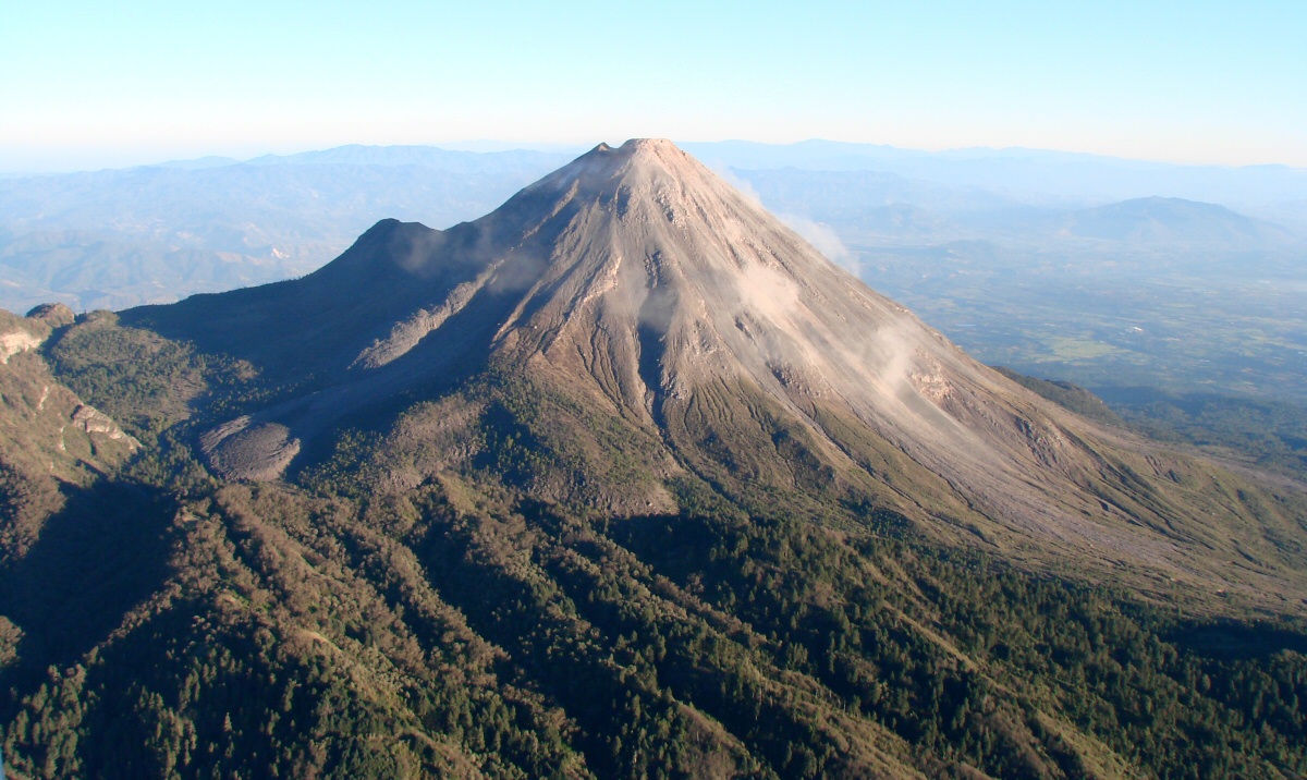
Coming around on the western side. Note lava flow at left.
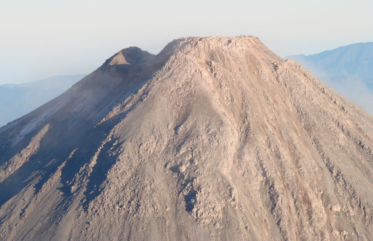
Volcán de Colima crater, western side
Volcán de Colima, western side
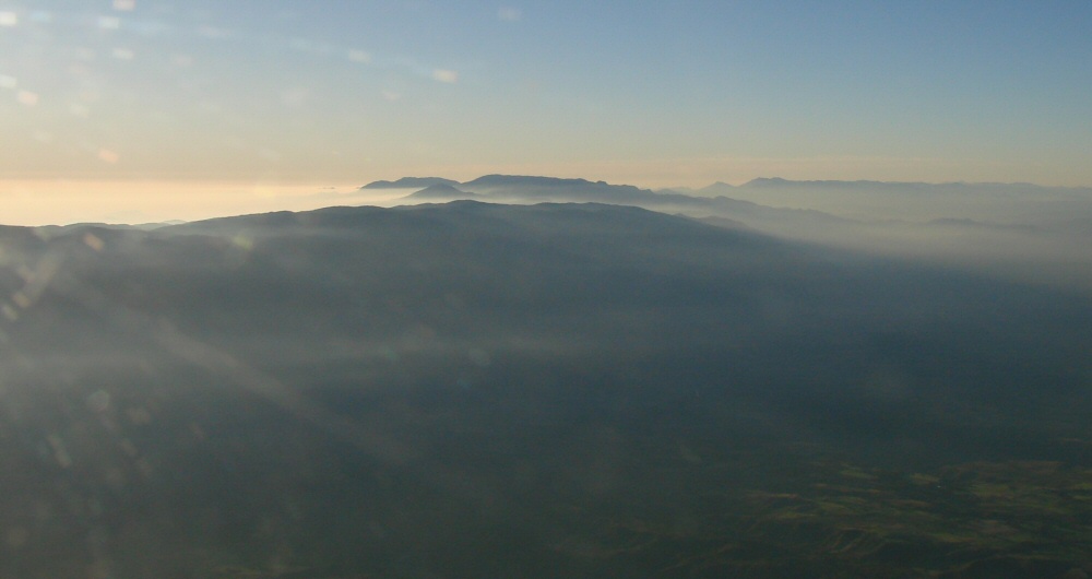
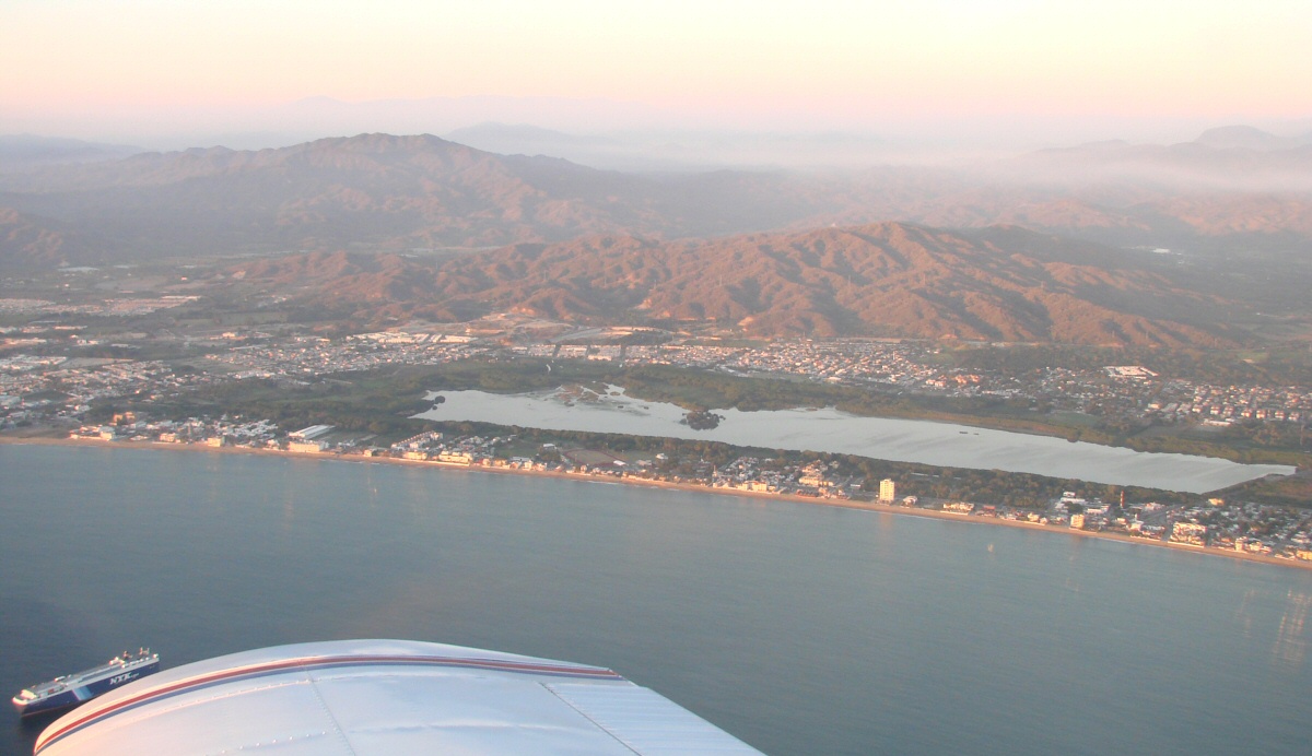
Hazy over the coastal region
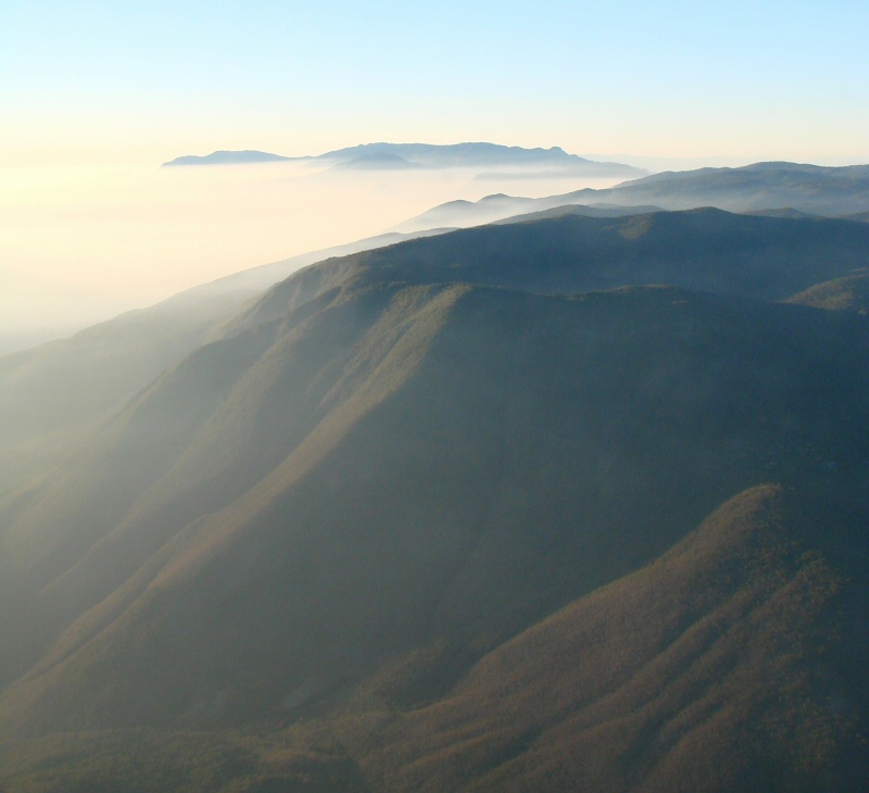
More haze
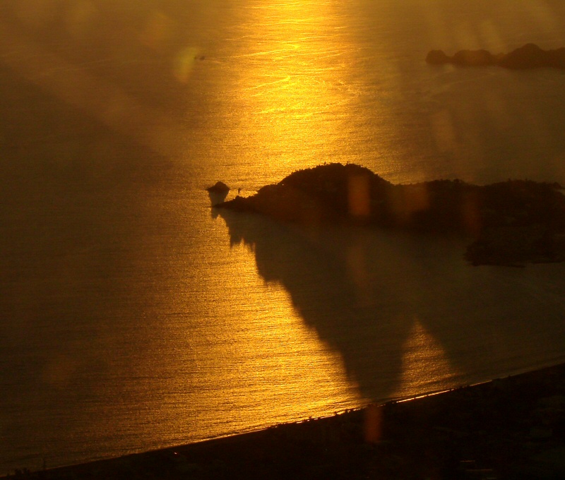
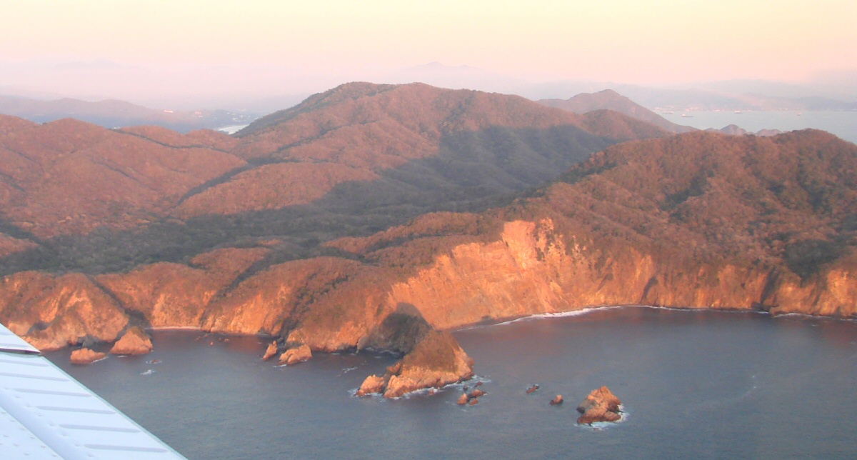
Sunset over Santiago Peninsula
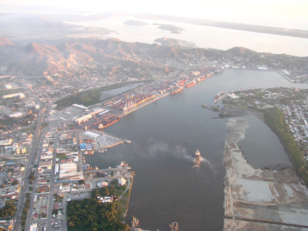
Port of Manzanillo
Manzanillo
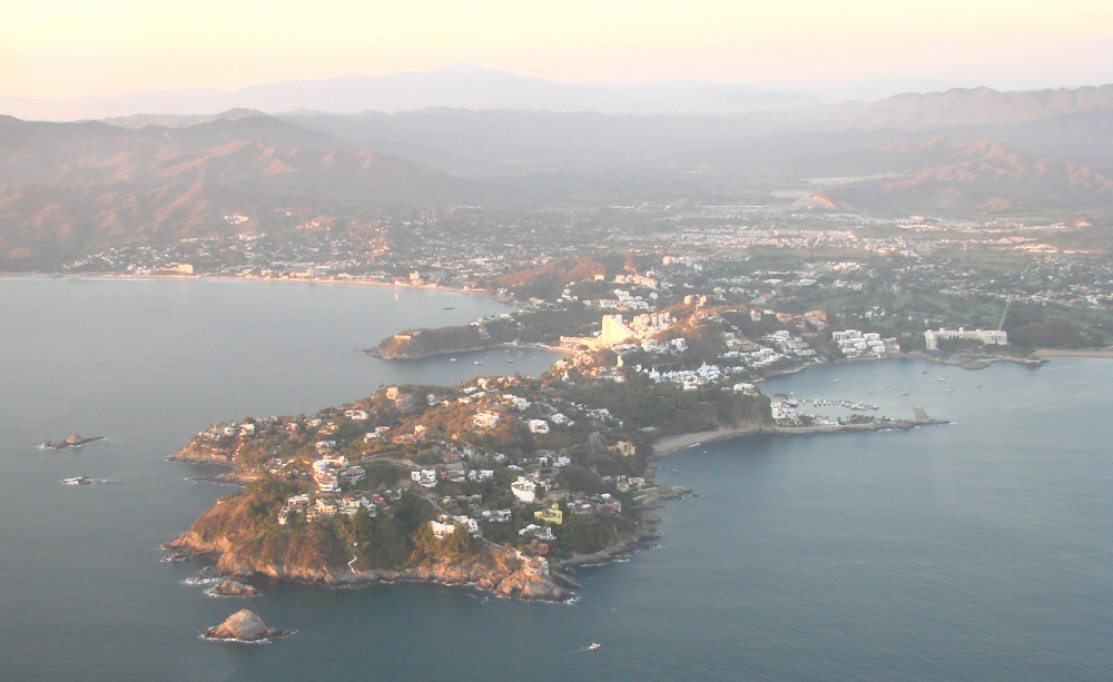
Santiago Peninsula
Looking back toward Manzanillo in the background