Home >> Oaxaca >> Puerto Escondido >> Flight to Puerto Escondido >> Photographing the Playas >> Playas of Oaxaca

Río Verde

Playas of Oaxaca - Aerial Photos

Return to Flight to Puerto Escondido

Main Index
Beach Index
Flight to Puerto Escondido
Regional Map
Visitors' Comments
AboutHomeSearch

< Camalote | Río Verde | Laguna de Chacahua >


Laguna Minuyua, east end

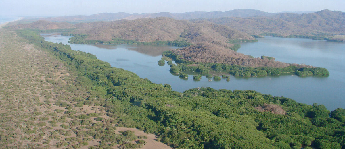
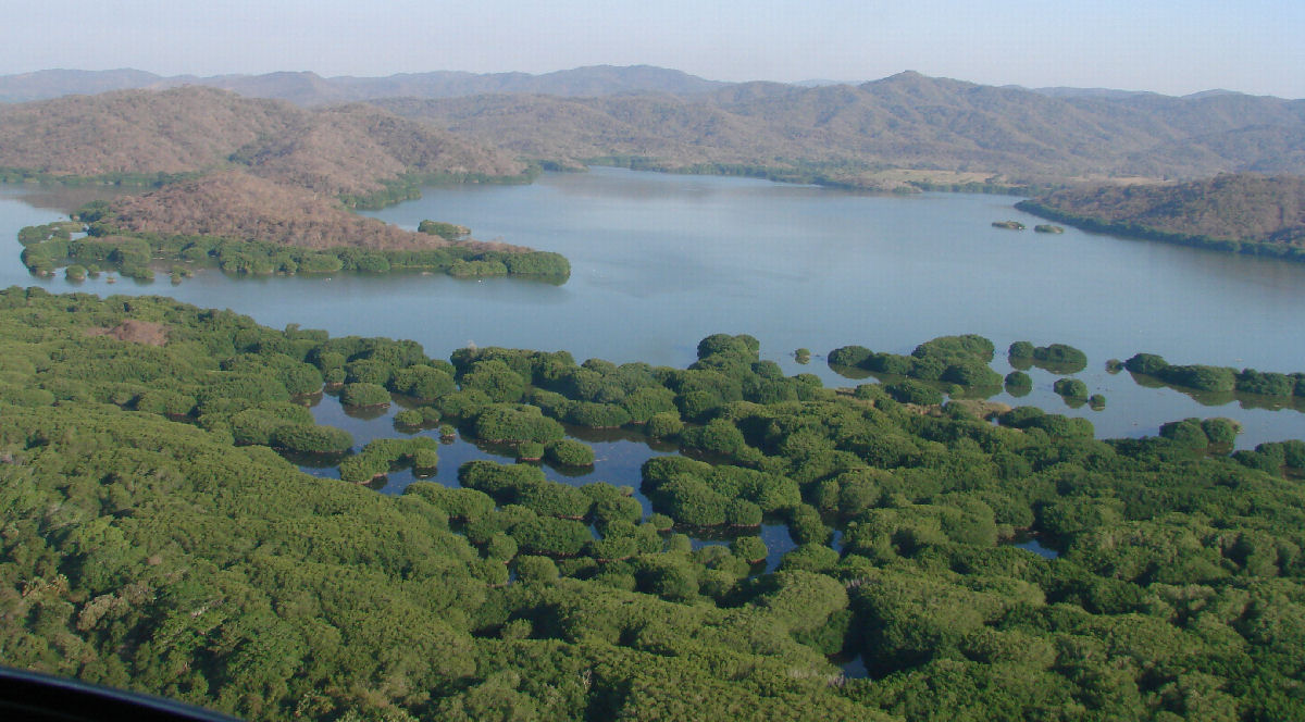
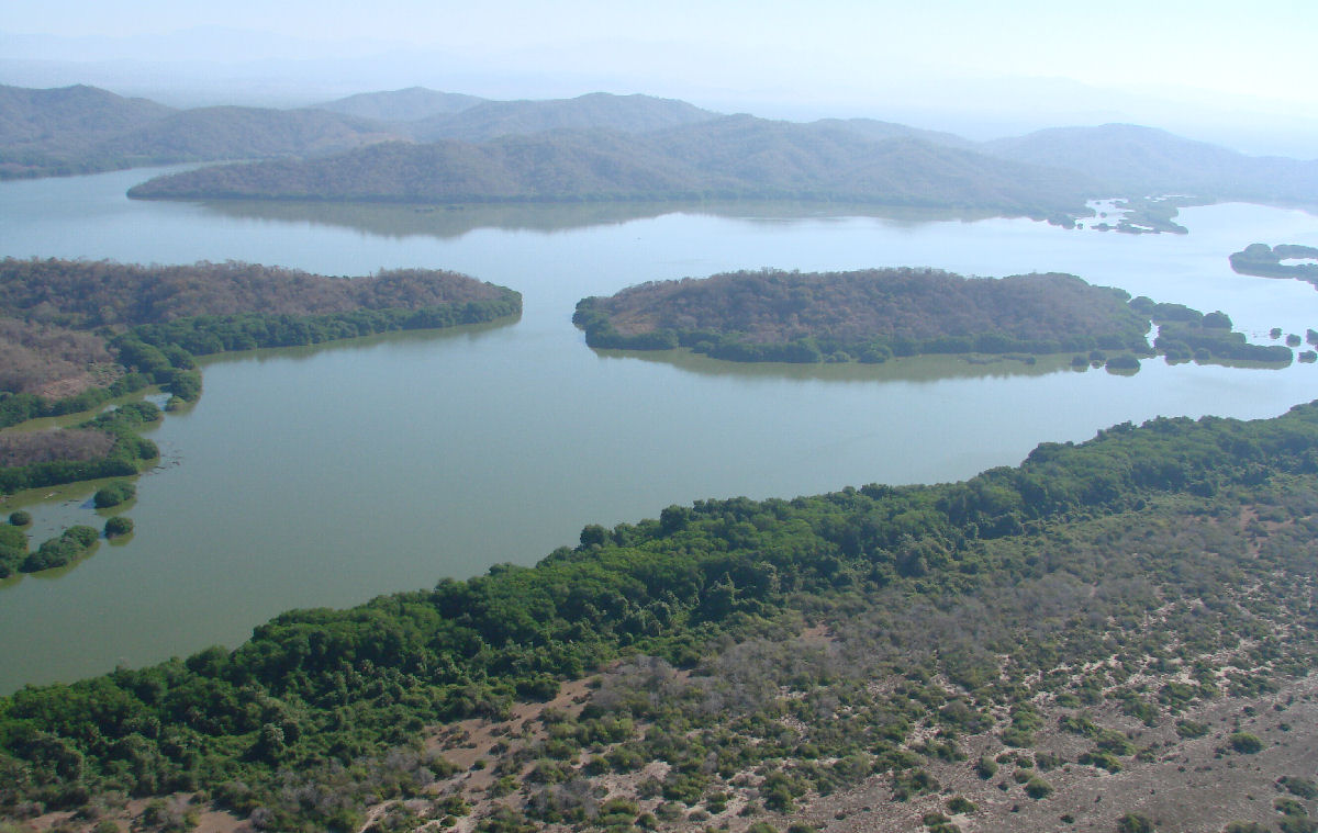
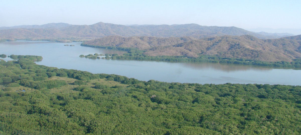
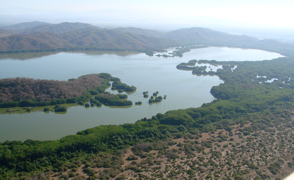
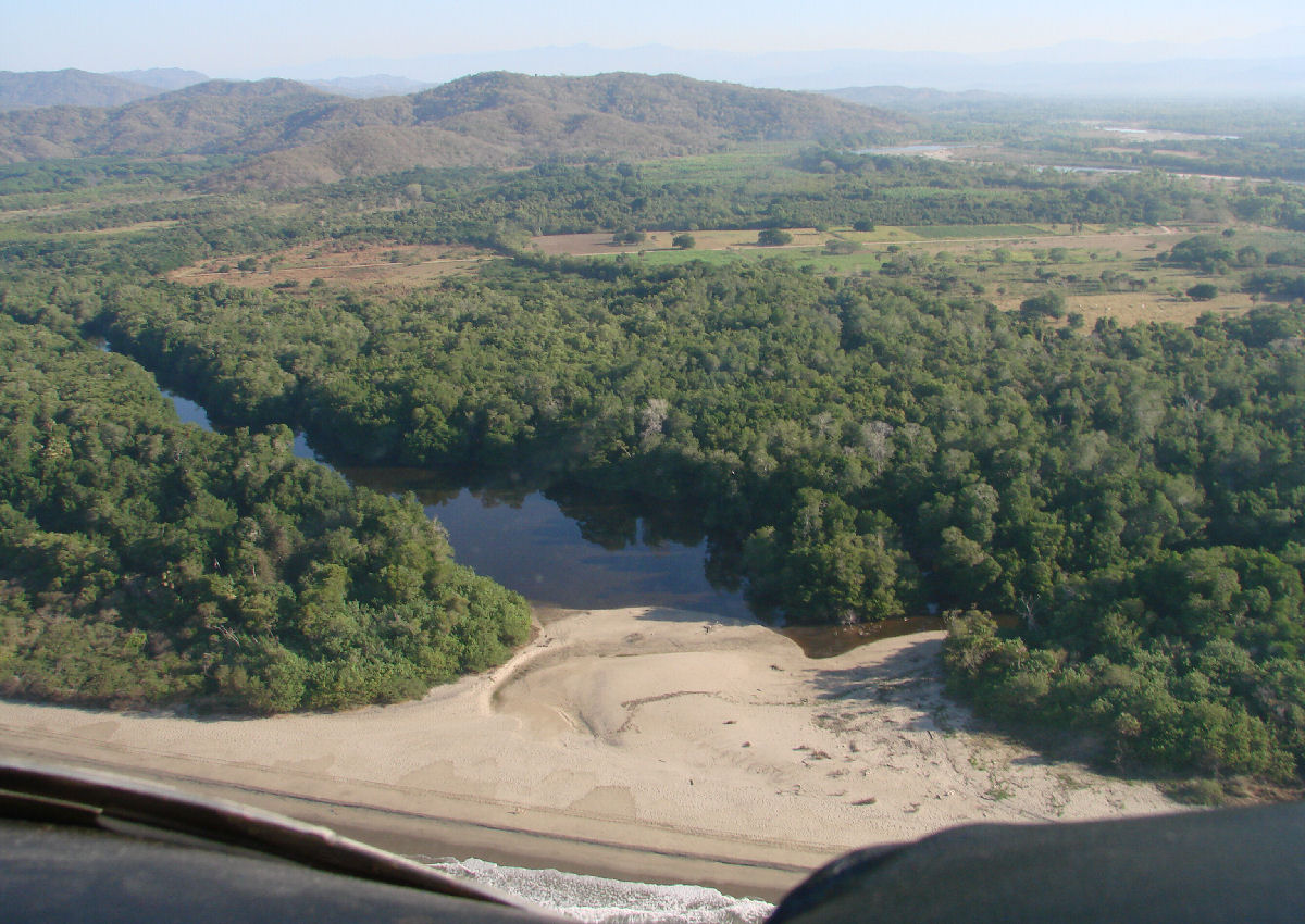
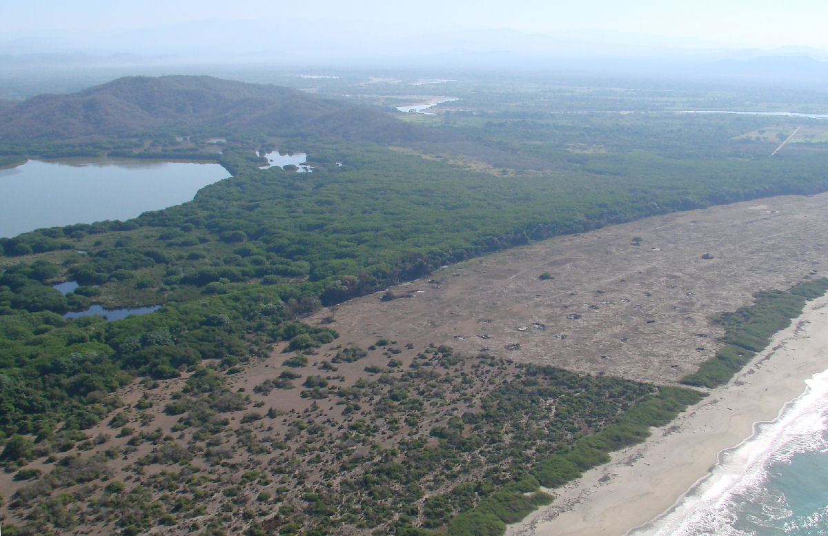
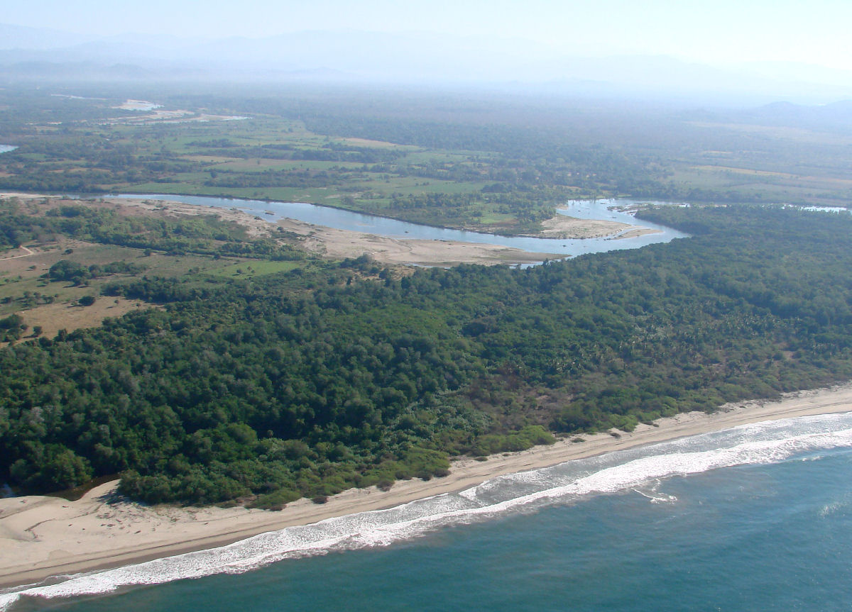
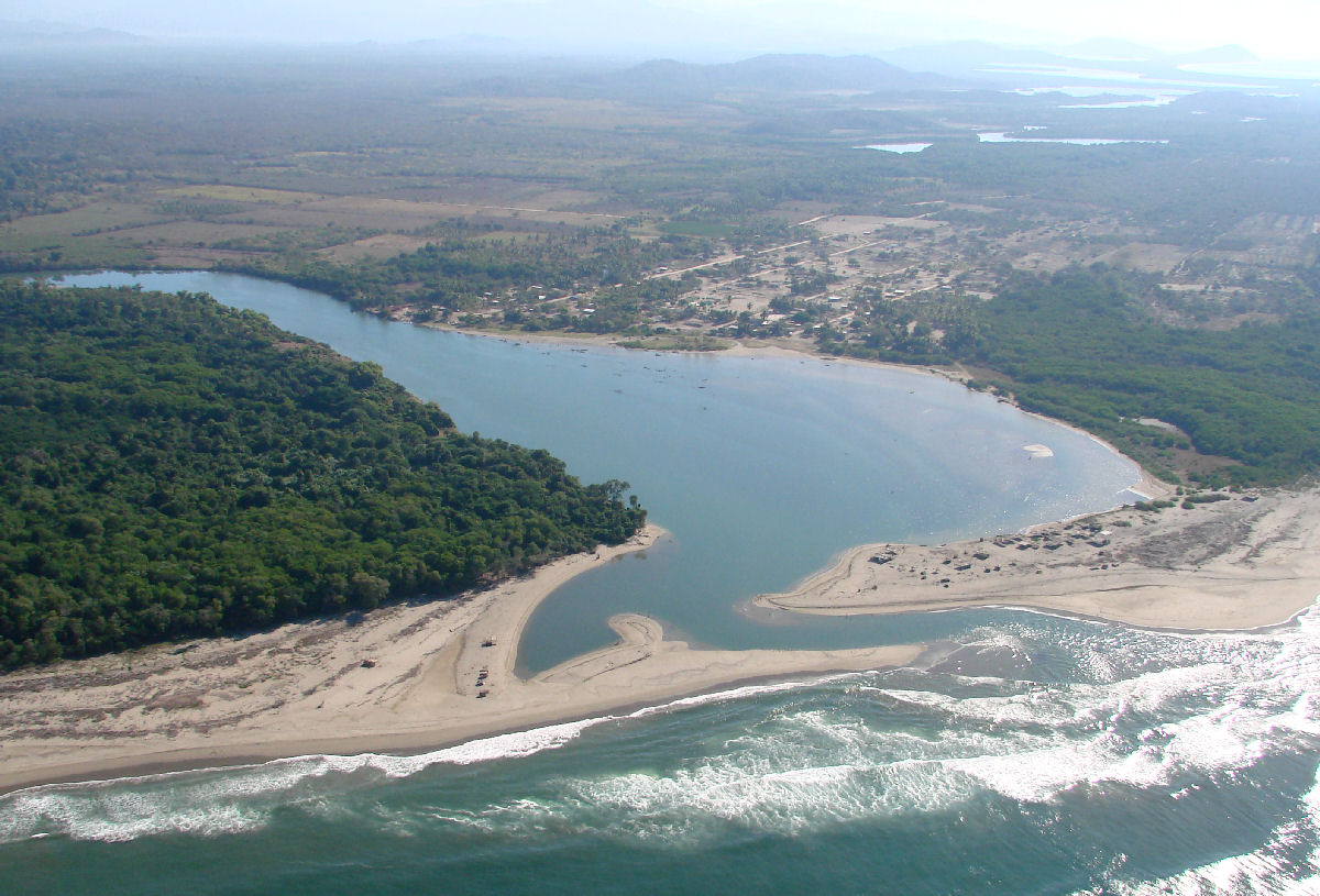
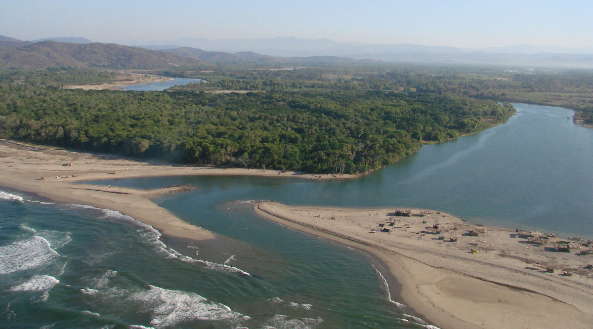
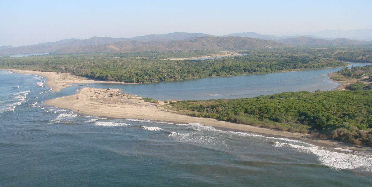
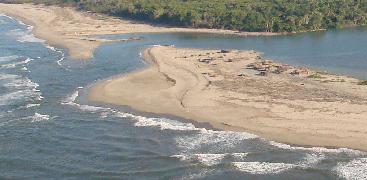
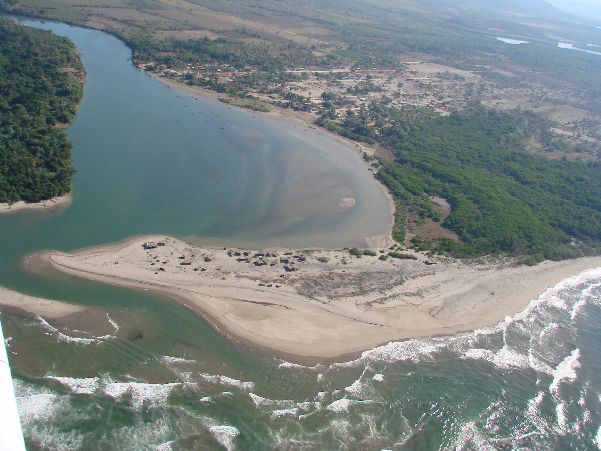
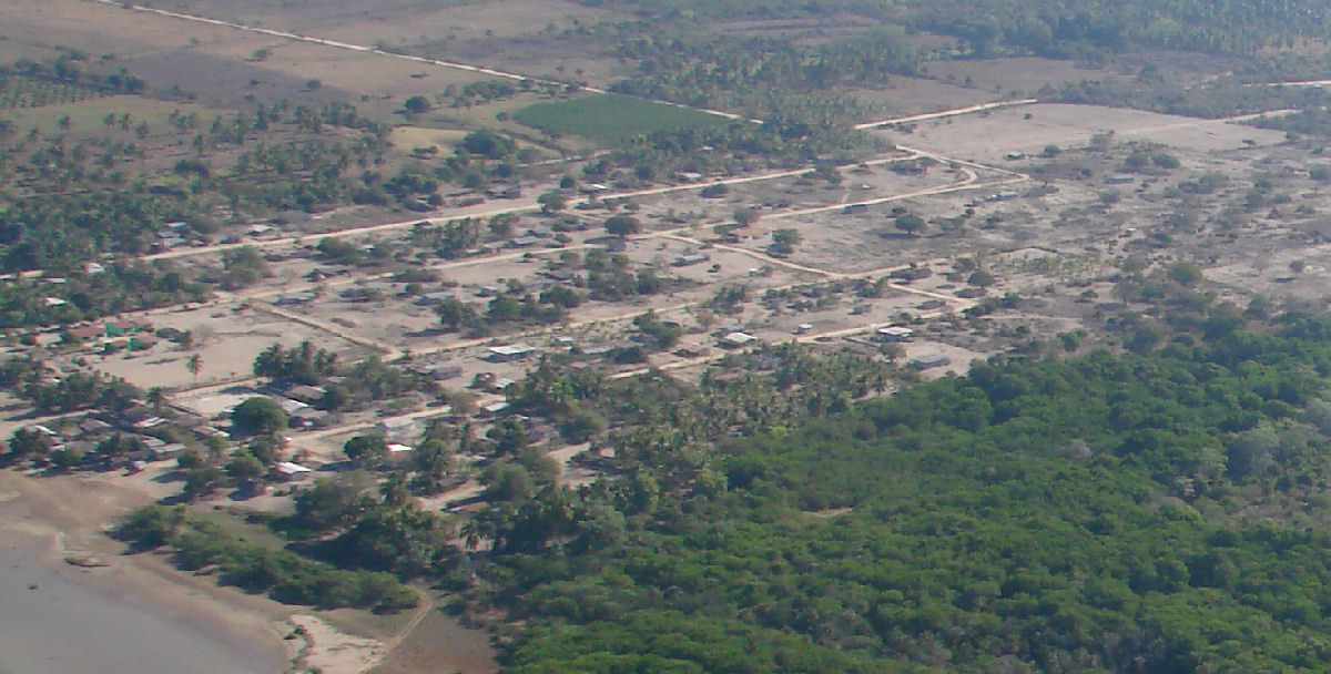
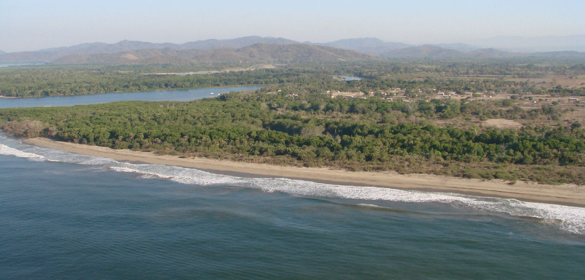
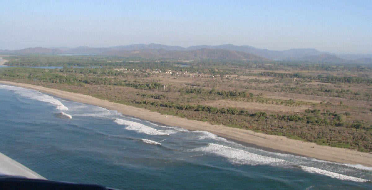
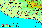
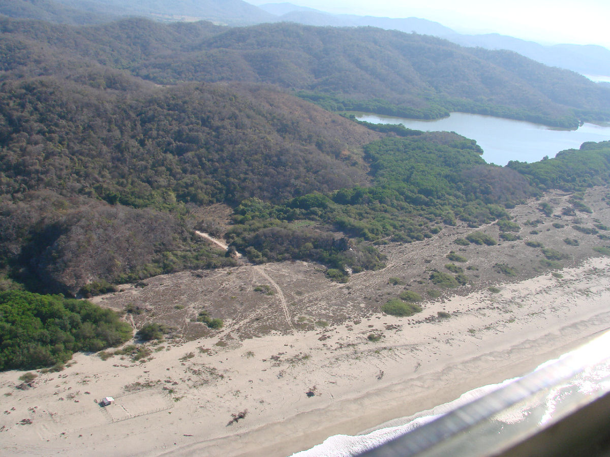
The Río Verde drains a large portion of the state of Oaxaca including some of the central valleys. It's tributaries include Río Tataltepec, Río Atoyac, Río Colorado, Río Grande, Río Putla, and Peñoles.

There is a proposal to construct a large dam on the river at Paso de la Reina. Municipalities that would be flooded include Santiago Ixtayutla, Santa Cruz Zenzontepec, Santiago Tetepec, Santiago Jamiltepec, Tataltepec de Valdés and San Pedro de Tuxtepec. Opposition to the project cites the environmental impact on ecosystems including the coastal wetlands, impact on the displaced indigenous population, and the staggering expense to the state of Oaxaca, already one of the poorest in Mexico. Another consideration is the loss of prehispanic archaeological sites in the river valley.


Laguna Minuyua, east end


Laguna Minuyua, west of Río Verde


Laguna Minuyua, west of Río Verde


Laguna Minuyua, west of Río Verde


Laguna Minuyua


Outlet for Laguna Minuyua, near Río Verde


Laguna Minuyua at left, with Río Verde in background


Río Verde


Mouth of the Río Verde, El Azufre in background


Mouth of the Río Verde


Mouth of the Río Verde


A closer look


Río Verde with El Azufre in background


El Azufre


El Azufre and Río Verde


Town of El Azufre with the Río Verde in the background

< Camalote | Río Verde | Laguna de Chacahua >


| Top of page | Photographing the Playas | Main index | Search | What's new |