More PhotosPuerto Escondido to TampicoReturn to Flight to Puerto Escondido
|
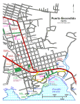 Puerto Escondido Centro |
|
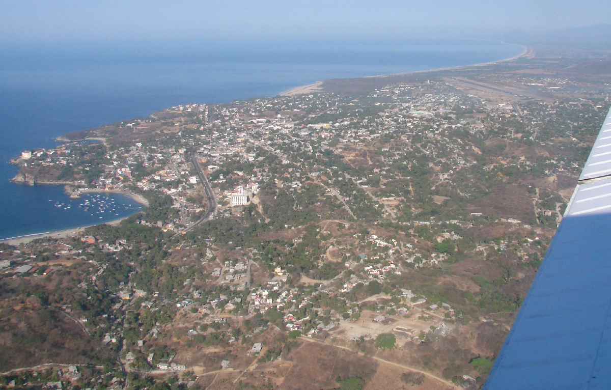
Takeoff from Puerto Escondido on runway 09.
Takeoff from Puerto Escondido, Airport in background, market just above center
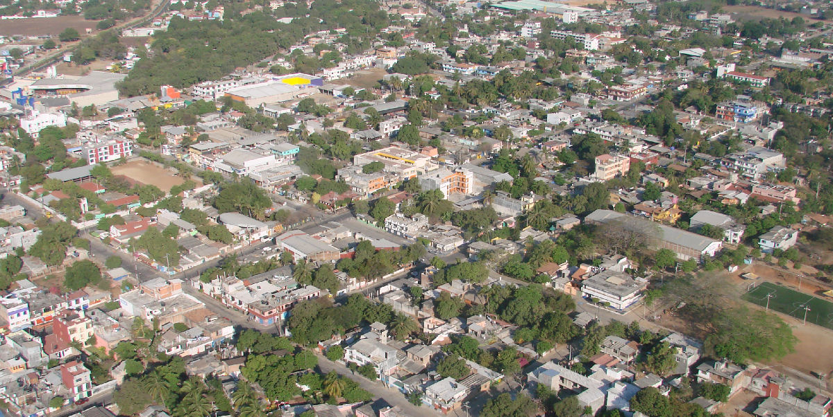
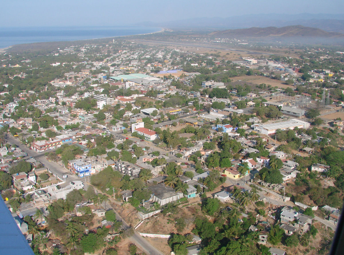
Puerto Escondido
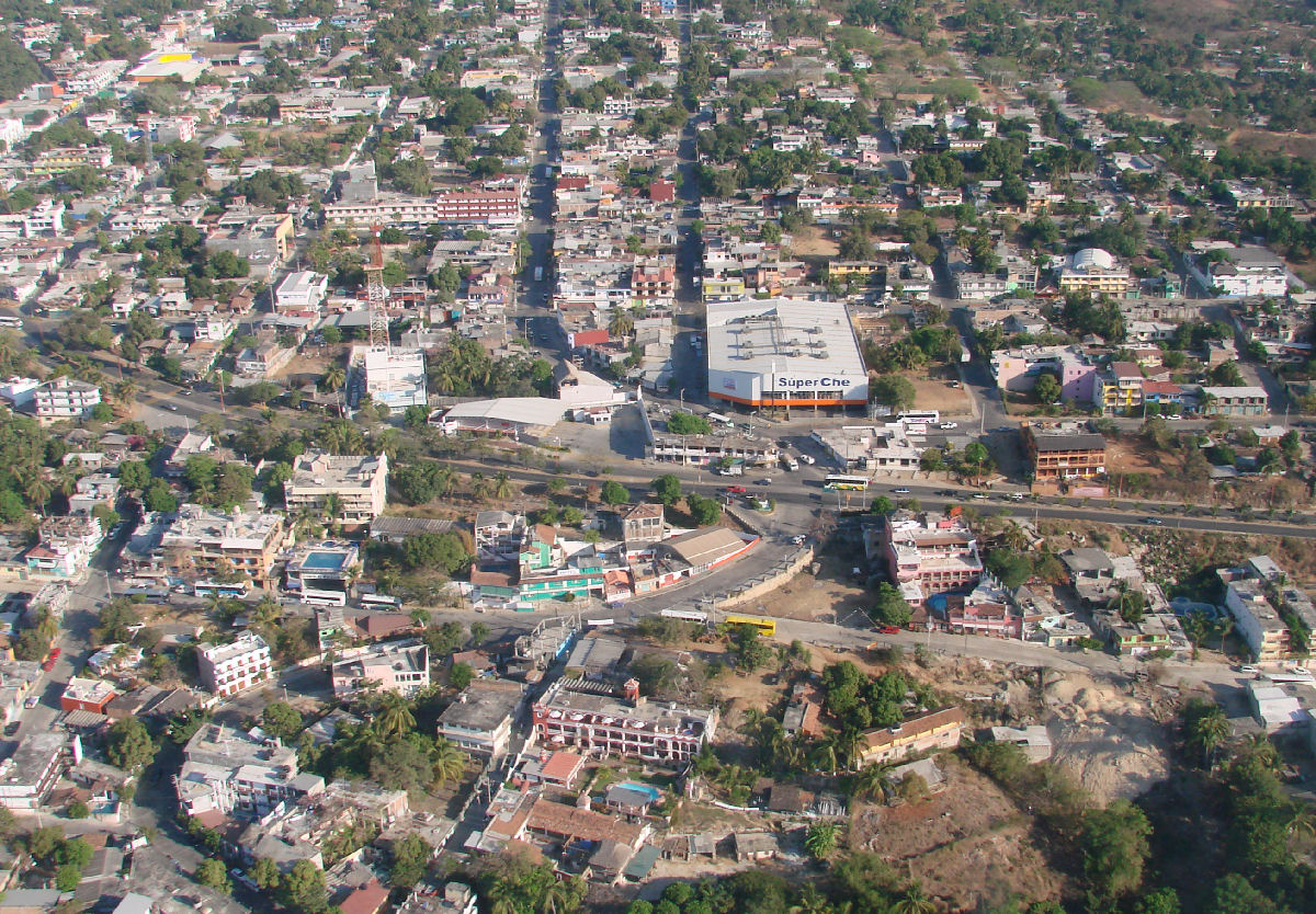
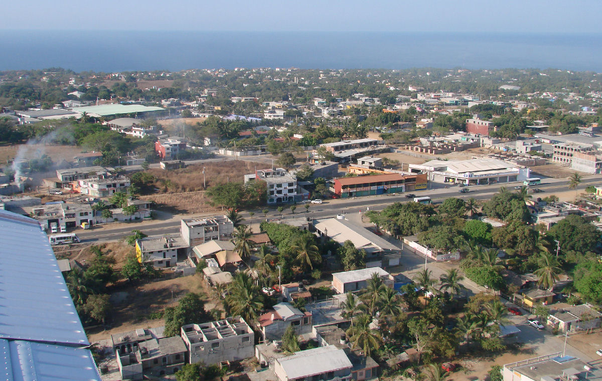
Super Ché and Bus station
Puerto Escondido
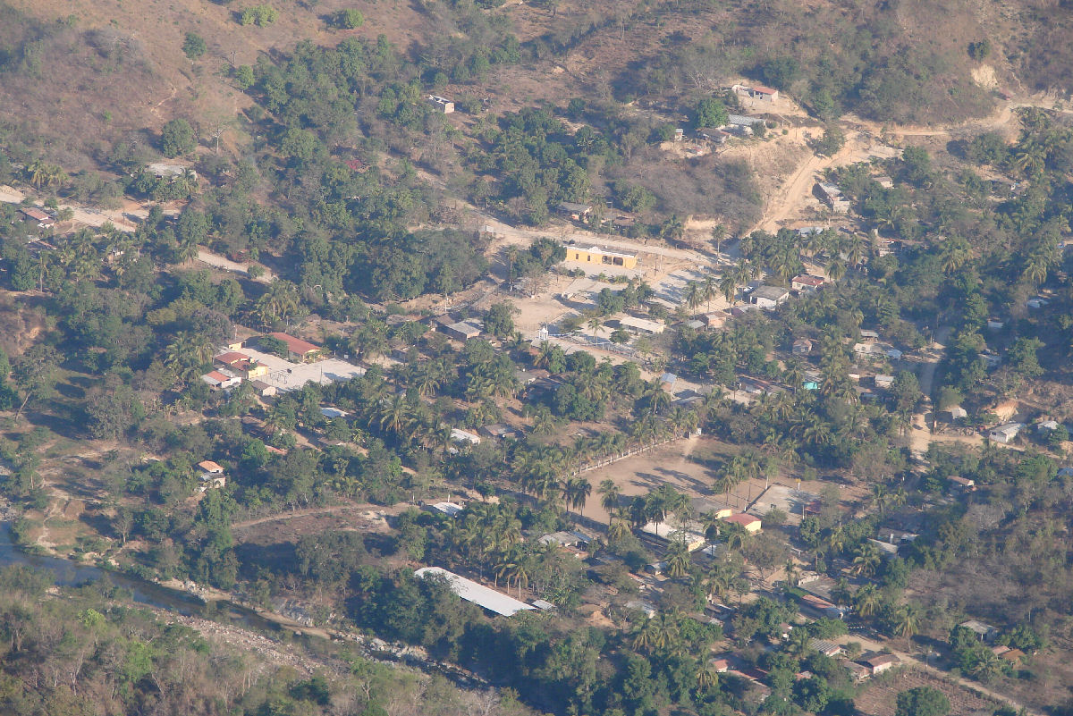
La Reforma, 7 minutes into the flight
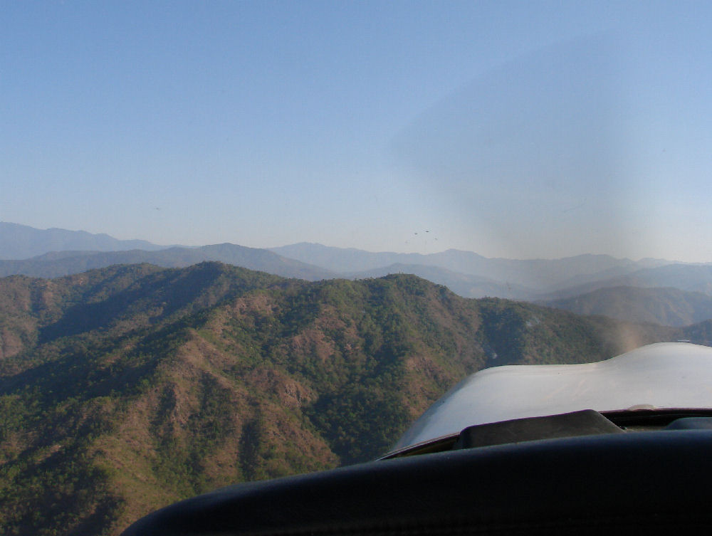
Mountains ahead
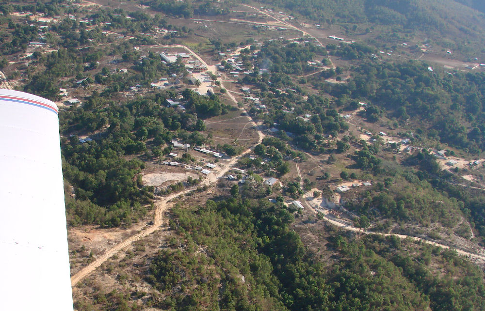
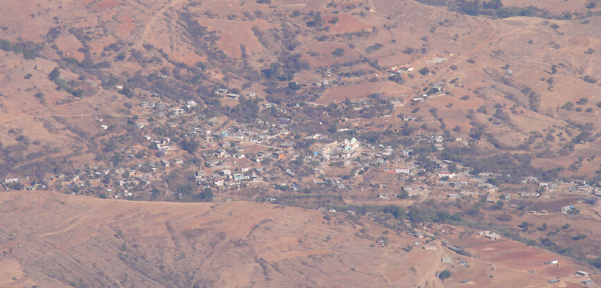
Hilltop town of San José Cieneguilla, altitude 3050' (930 meters), 16°02'N 96°54'W, 11 minutes into the flight
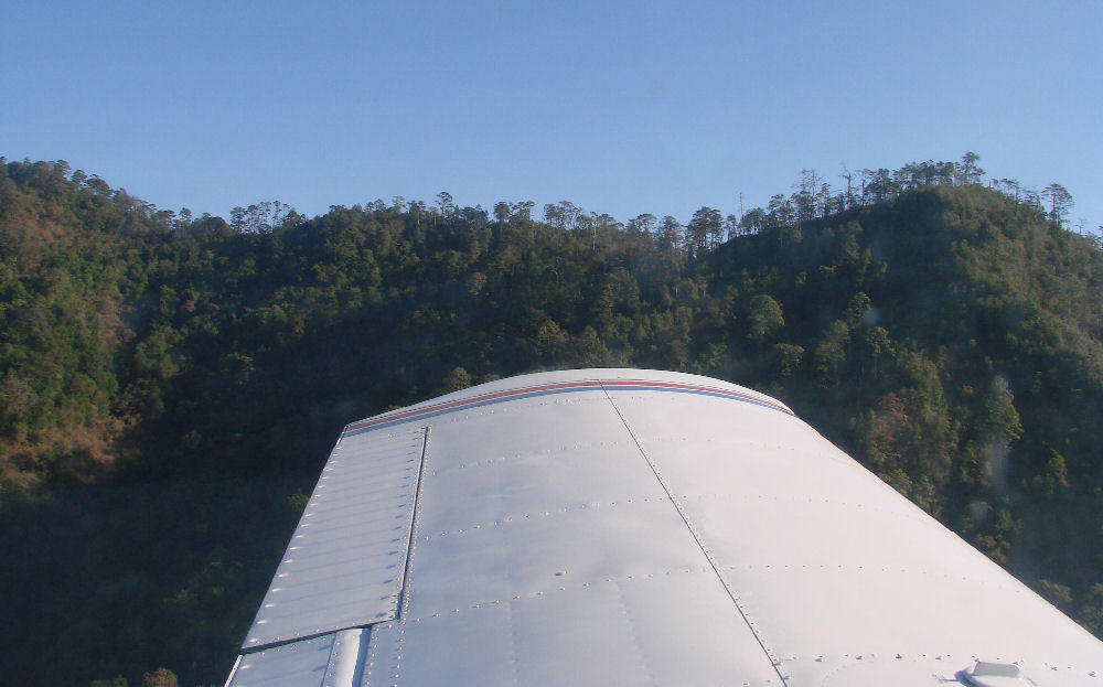
Flying alongside the mountains to gain ridge lift
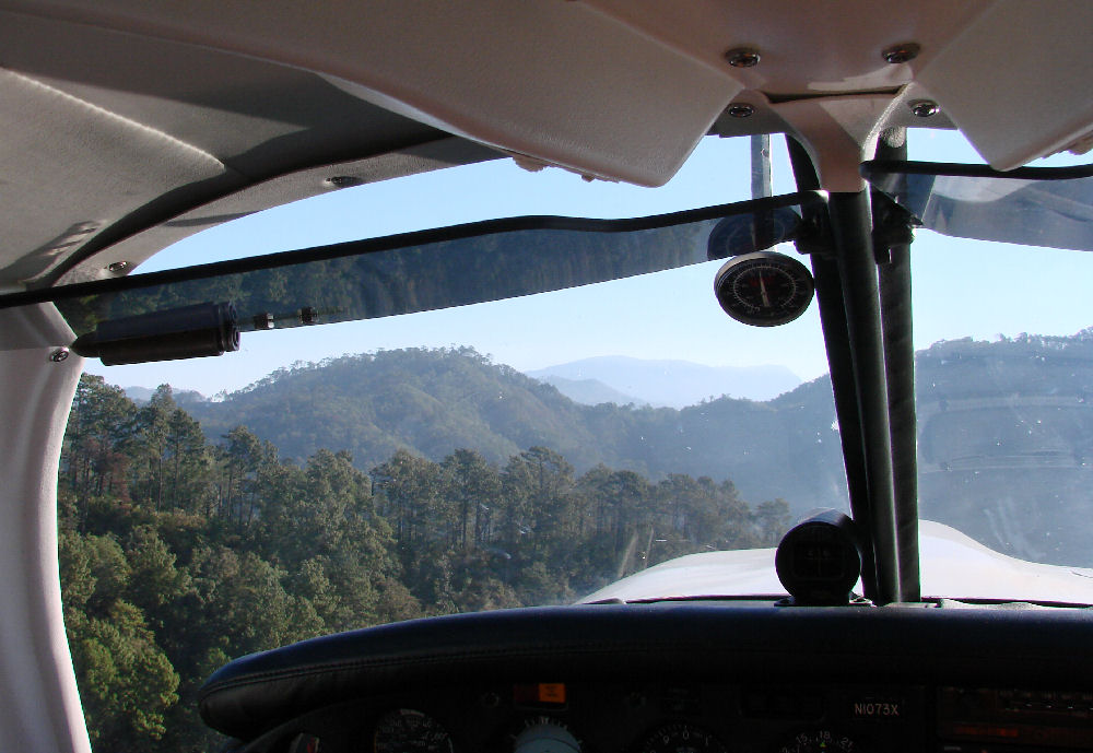
Almost... 17 minutes into the flight
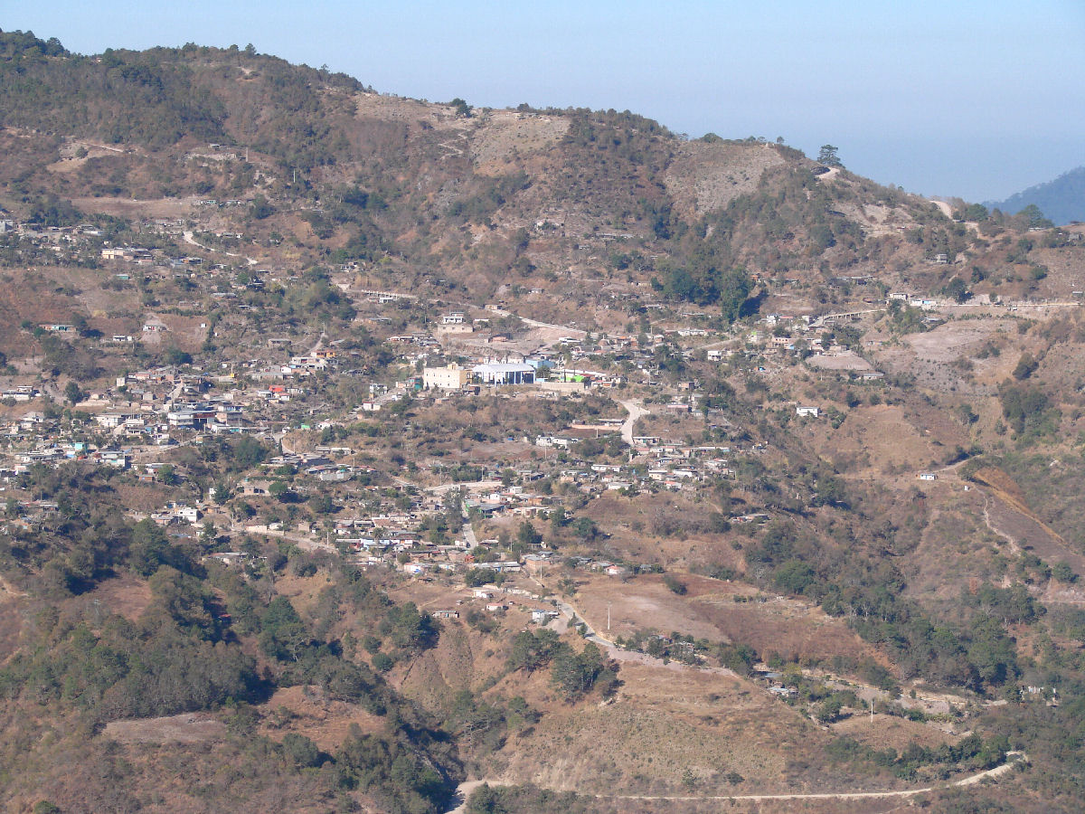
San Sebastian Coatlán, elevation 5801' (1768 meters), 16°12'N 96°50'W, 20 minutes into the flight
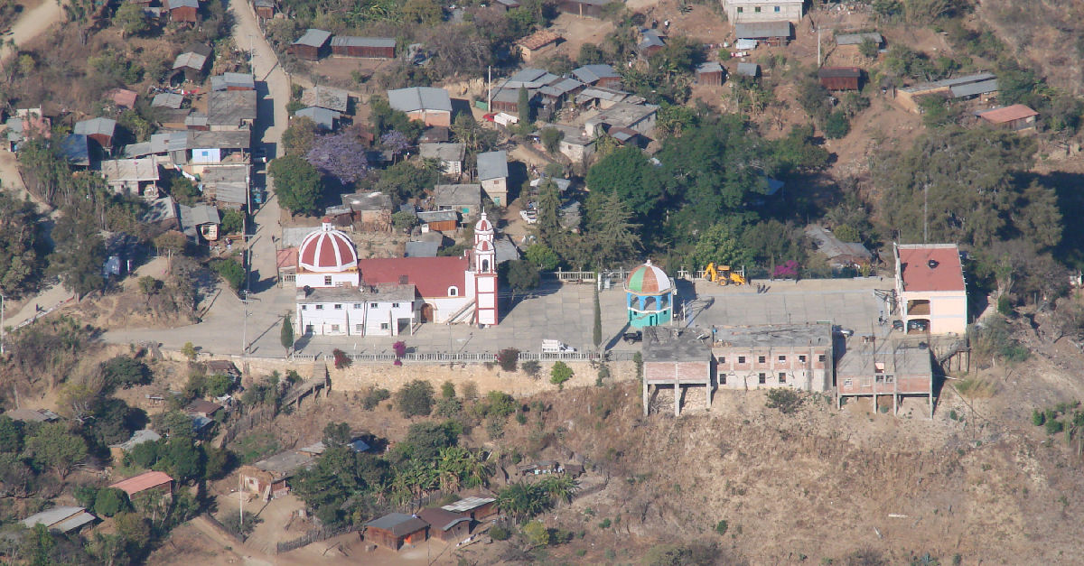
San Jerónimo Coatlán, elevation 5479' (1670 meters), 16°21'N 96°52'W, 22 minutes into the flight
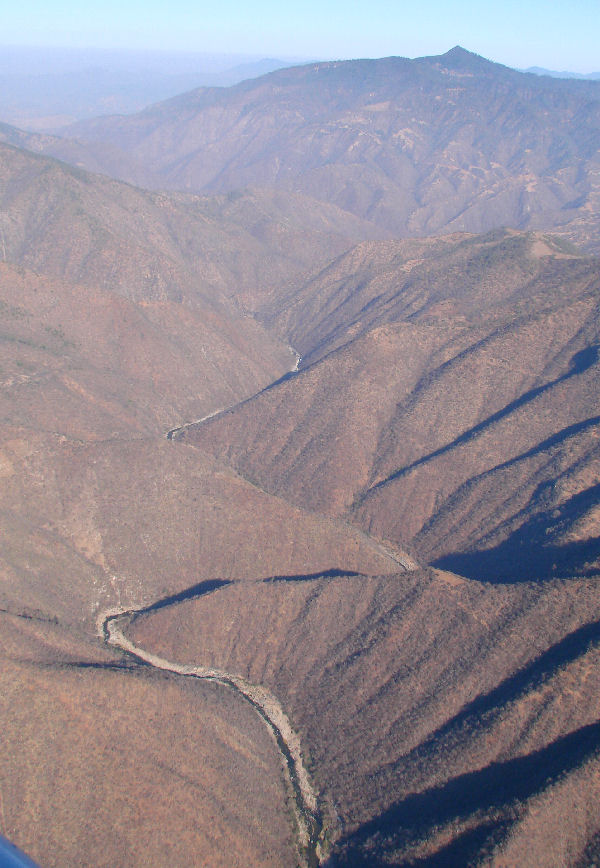
Río Atoyac, 23 minutes into the flight
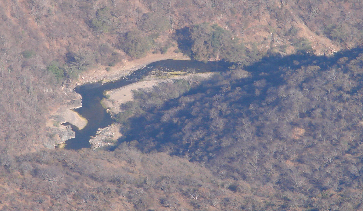
Río Atoyac, 24 minutes into the flight
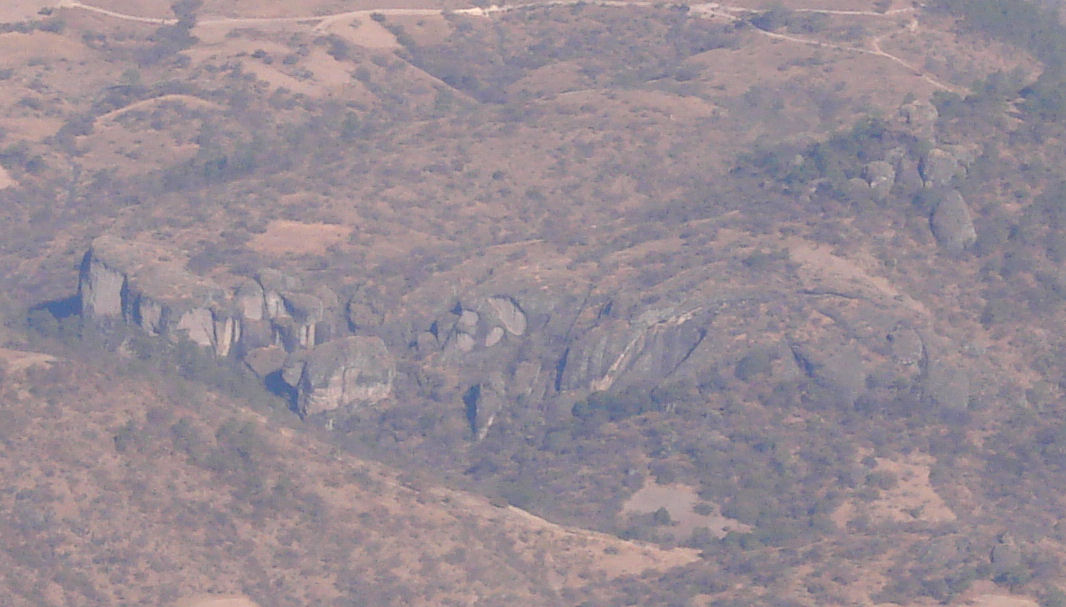
Interesting rock formations, 26 minutes into the flight
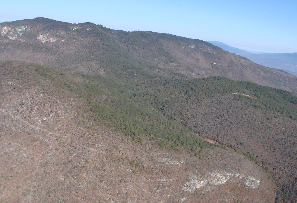
Greening up at the higher altitudes, about 8500' (2600 meters), 29 minutes into the flight
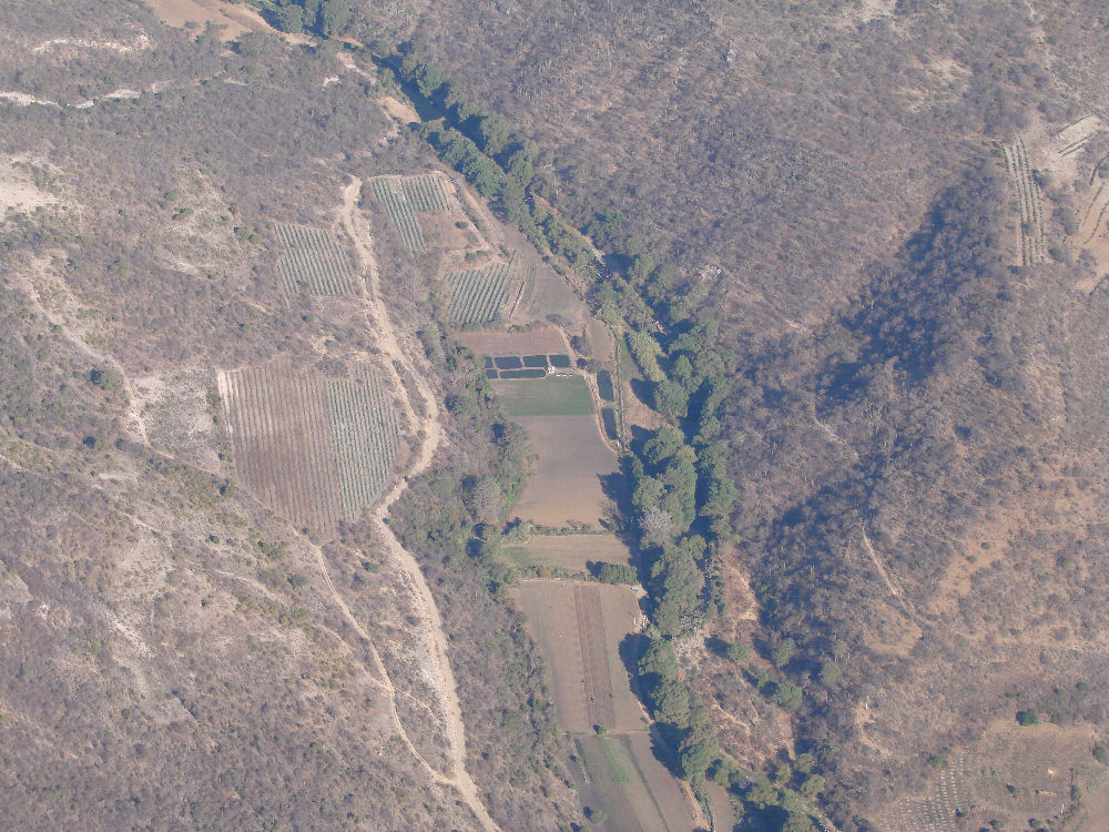
Agricultural activity, 31 minutes into the flight
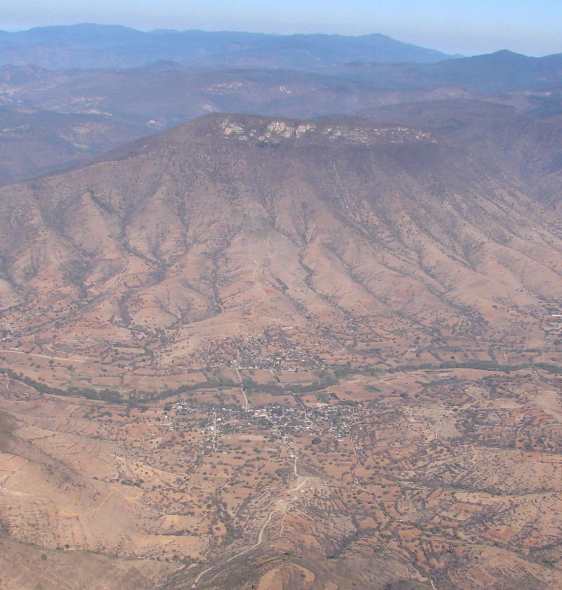
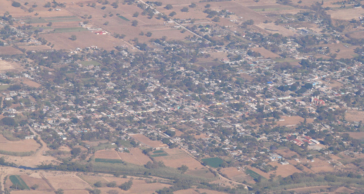
The towns of San Martín and Lachilá occupy opposite sides of the Río Atoyac, 33 minutes into the flight
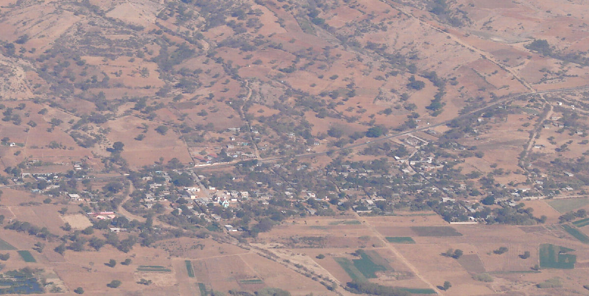
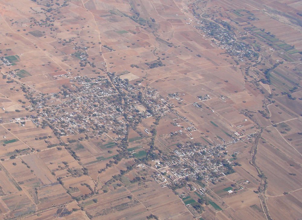
Santa Cruz Nexila, 33 minutes into the flight
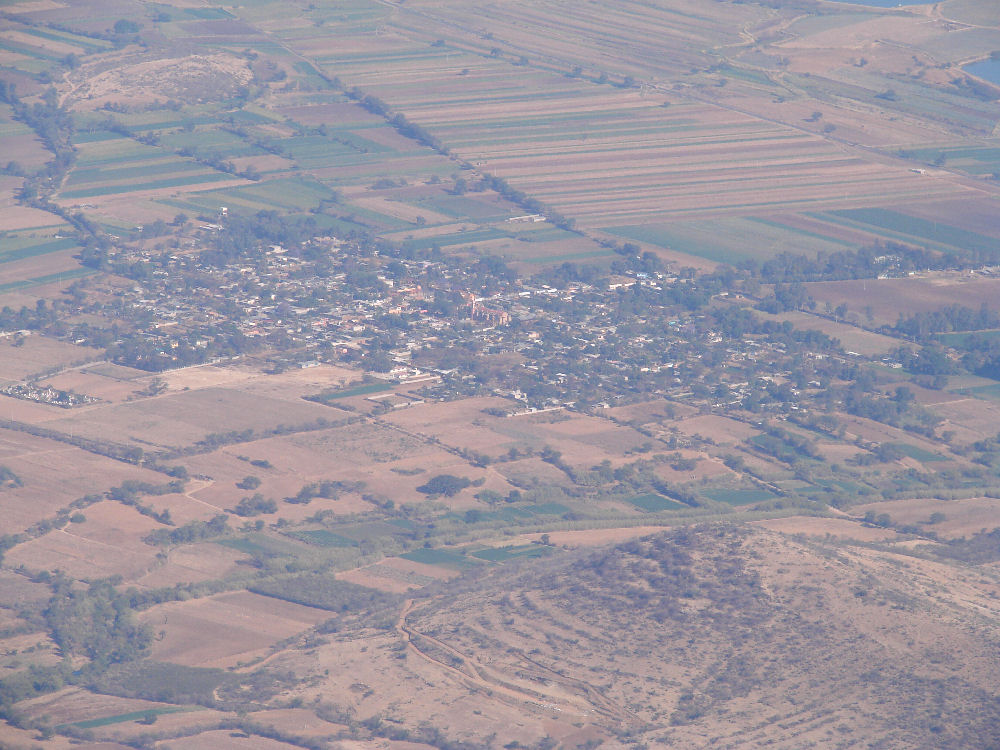
Santa María Ayoquezco de Aldama, 34 minutes into the flight
Santa Ana Tlapacoyan, 35 minutes into the flight
Santa Gertrudis, 38 minutes into the flight
Santa María Vigalio, 40 minutes into the flight
Roalo (center) and San Miguel Tlanichico (upper right), 42 minutes into the flight
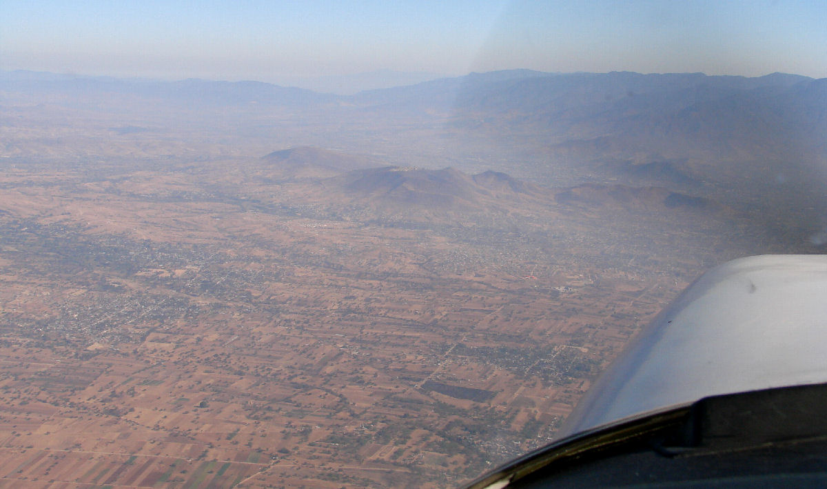
Approaching Oaxaca, 43 minutes into the flight
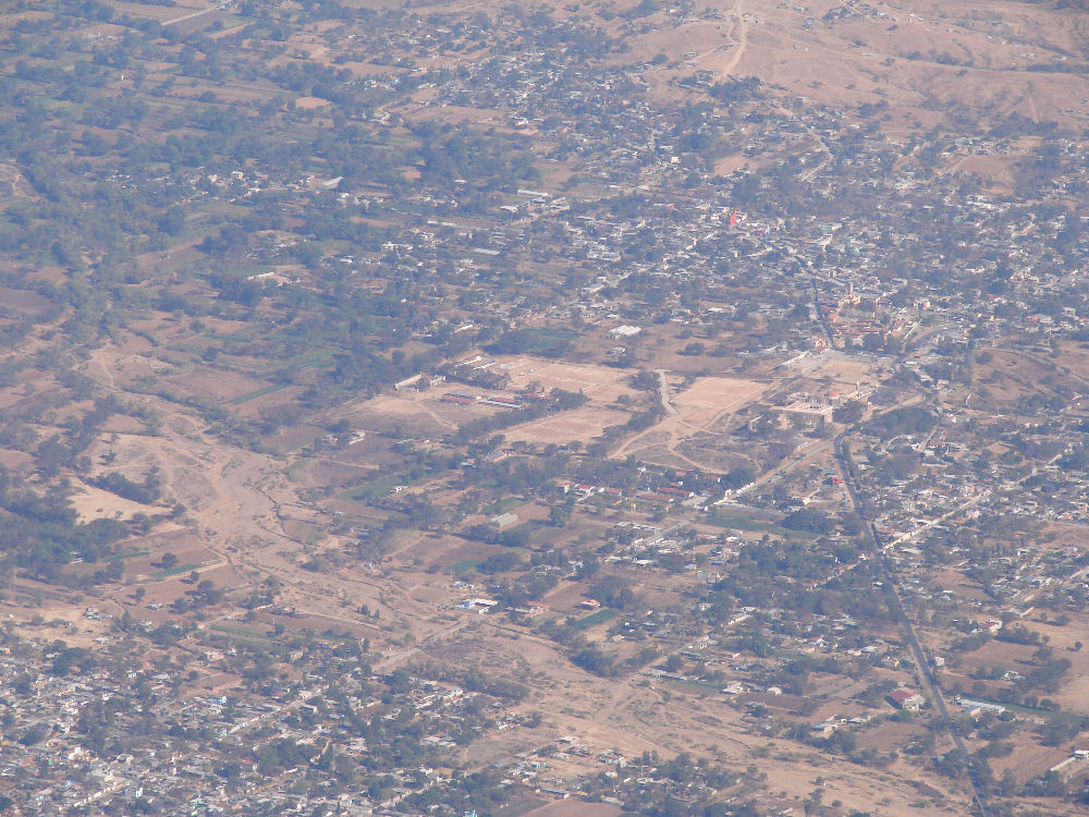
Cuilapan de Guerrero, 43 minutes into the flight
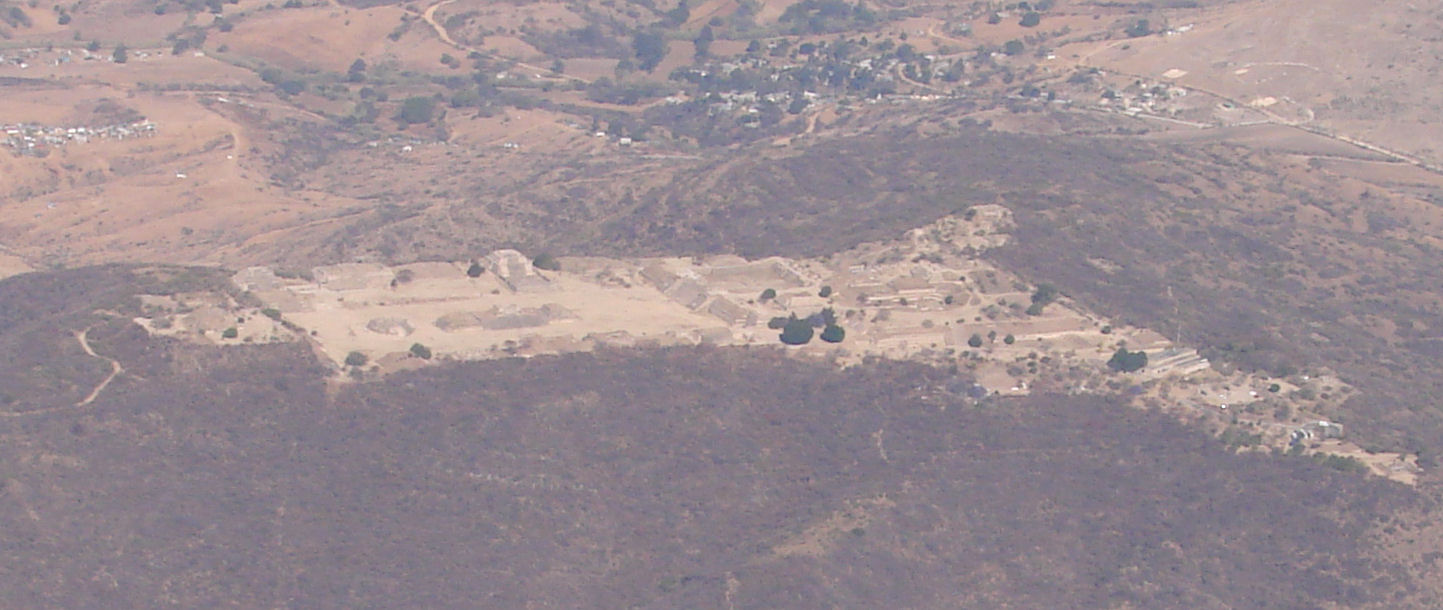
Monte Albán, 46 minutes into the flight