Home >> Oaxaca >> Huatulco >> Flight to Huatulco >> Photographing the Playas >> Playas of Oaxaca

Punta Cometa

Playas of Oaxaca - Aerial Photos

Return to Flight to Huatulco

Main Index
Huatulco, Oaxaca
Flight to Huatulco
Huatulco International Airport
Punta Cometa
Turtle Center
Mazunte
San Agustinillo
Map of Huatulco
Transportation
Telephone Numbers
Oaxaca Weather
Visitors' Comments
AboutHomeSearch

< Laguna Ventanilla | Punta Cometa | Zipolite >

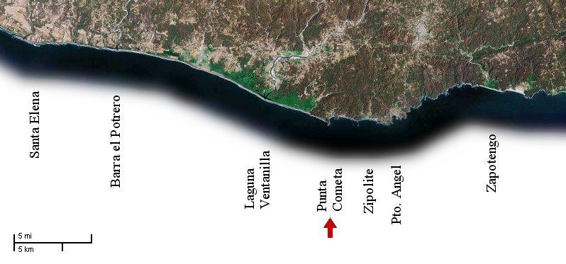
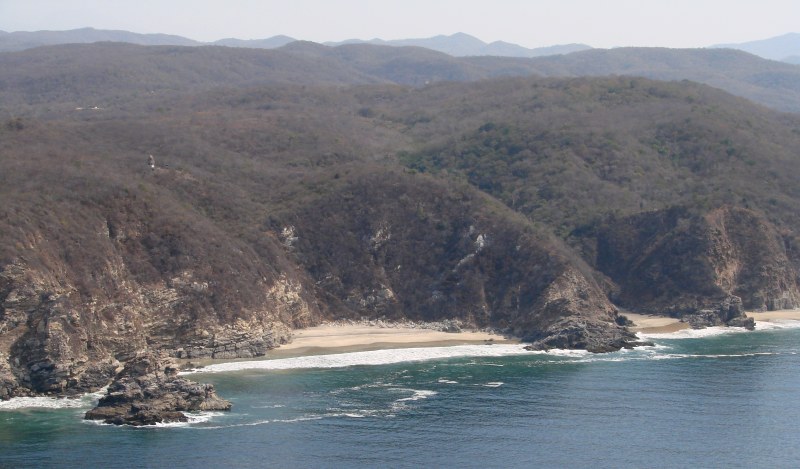
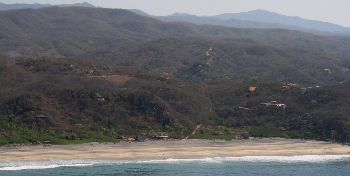
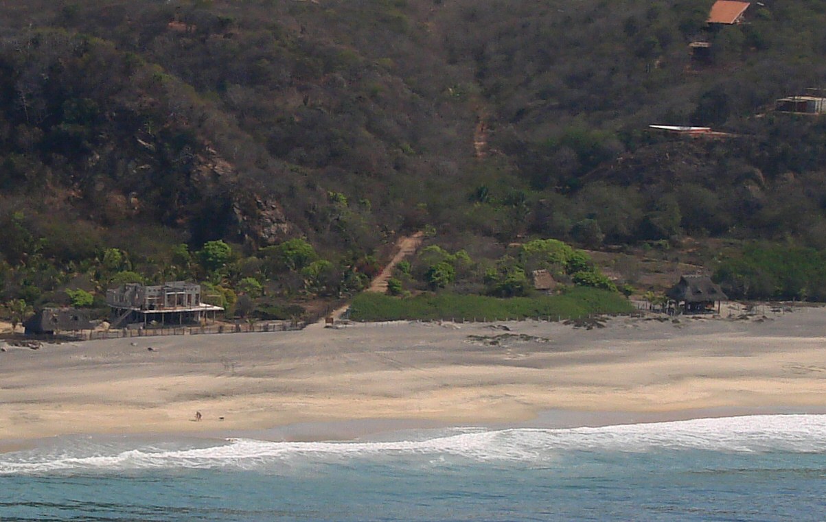
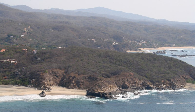
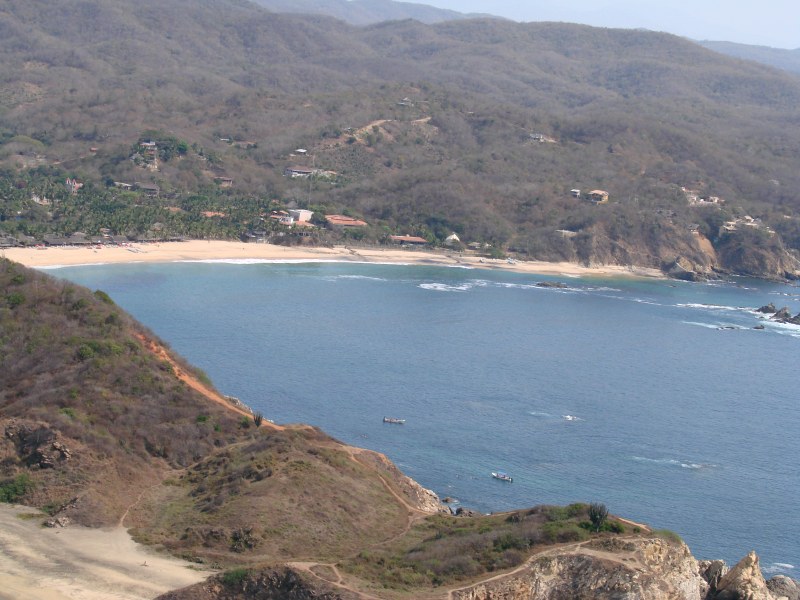
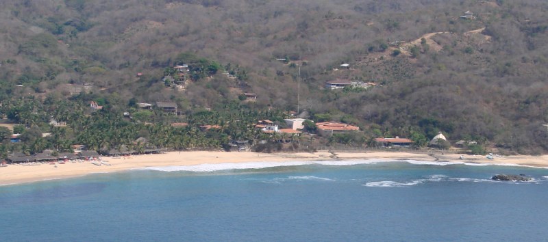
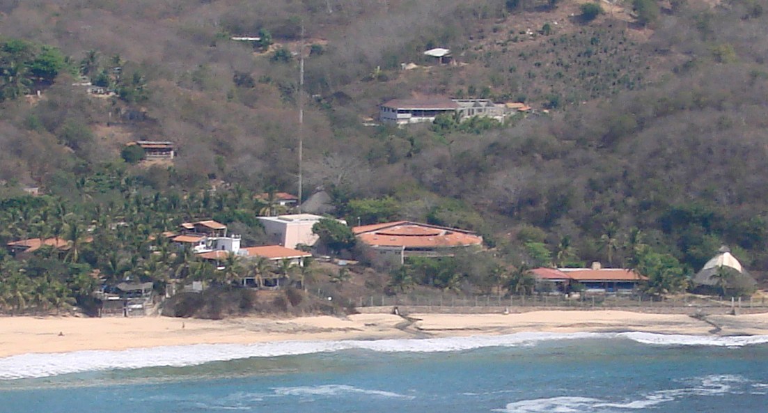
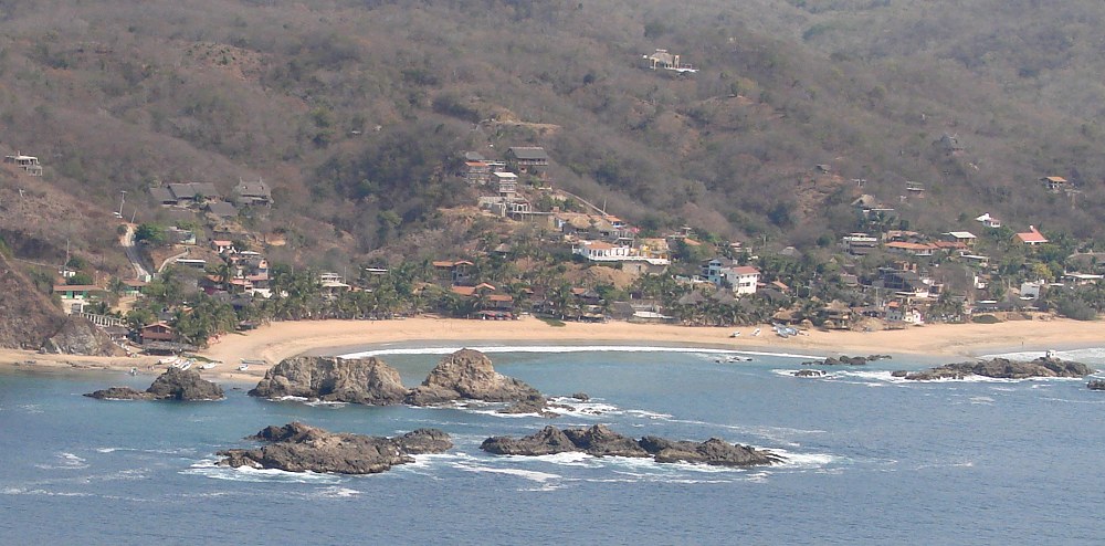
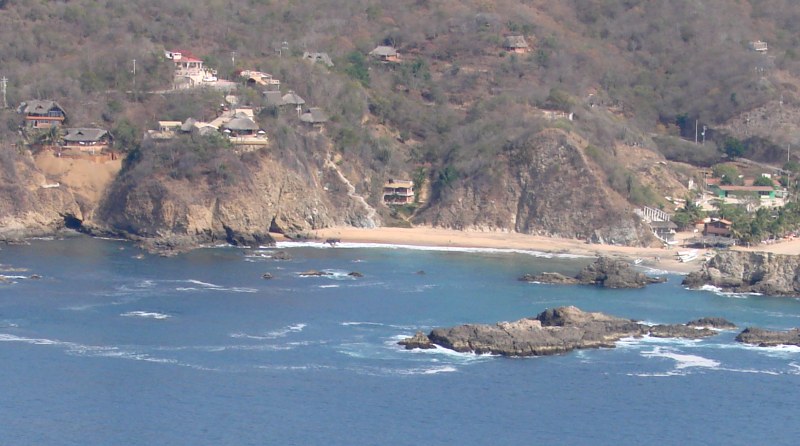
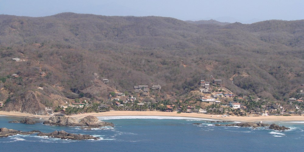
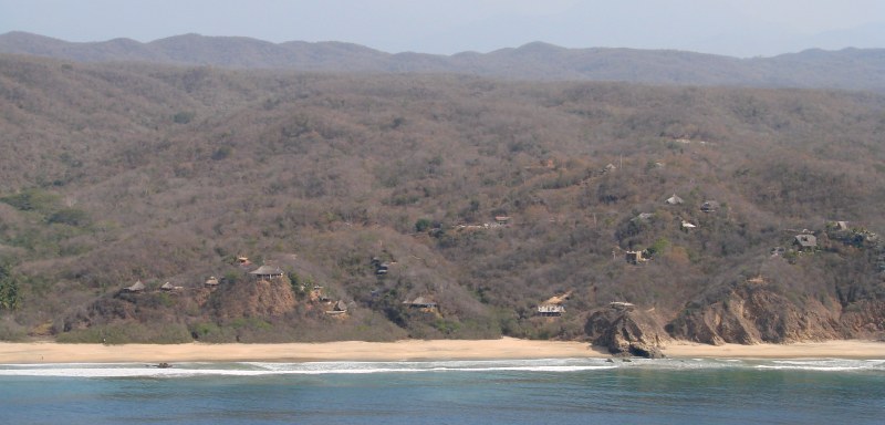
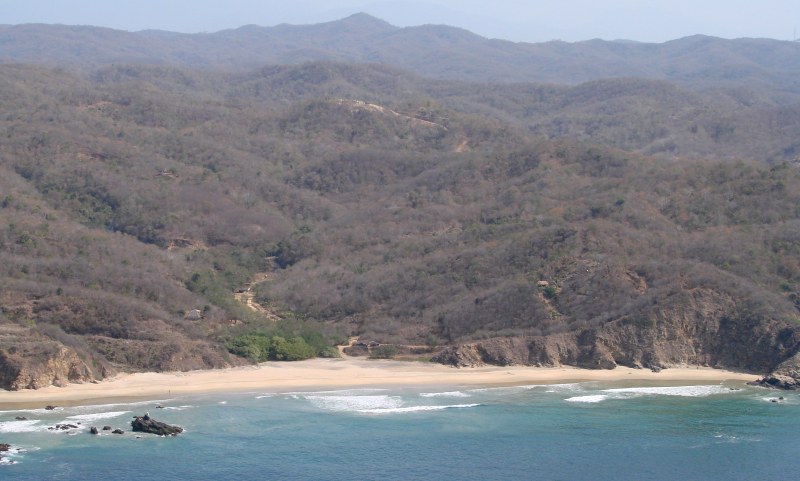
The photos on this page begin at Punta Cometa and continue to the east. Punta Cometa is the southernmost point in Oaxaca.


Small Beach on Punta Cometa


Playa Mermejita on the west side of Punta Cometa. El Copal is the group of thatched roofs at lower right.


A closer look at Playa Mermejita


Punta Cometa with San Agustinillo in the background


Over Punta Cometa with Mazunte in the background


Mazunte with Turtle Center at right


Turtle Center detail


San Agustinillo


San Agustinillo


Area bordering the towns of Mazunte at left and San Agustinillo at right.


San Agustinillo


Rancho las Hamacas area east of San Agustinillo


east of San Agustinillo

< Laguna Ventanilla | Punta Cometa | Zipolite >


| Top of page | Photographing the Playas | Main index | Search | What's new |