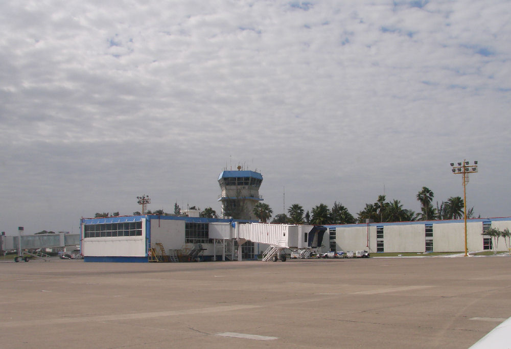
Control tower at Tampico
|
Control tower at Tampico
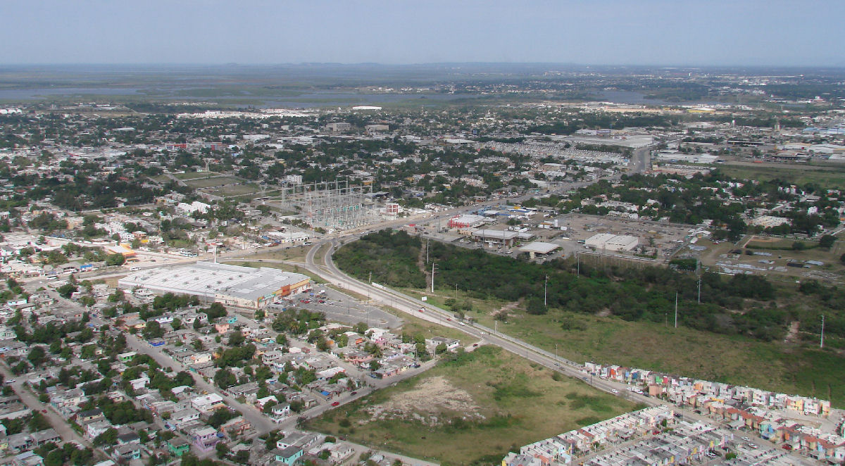
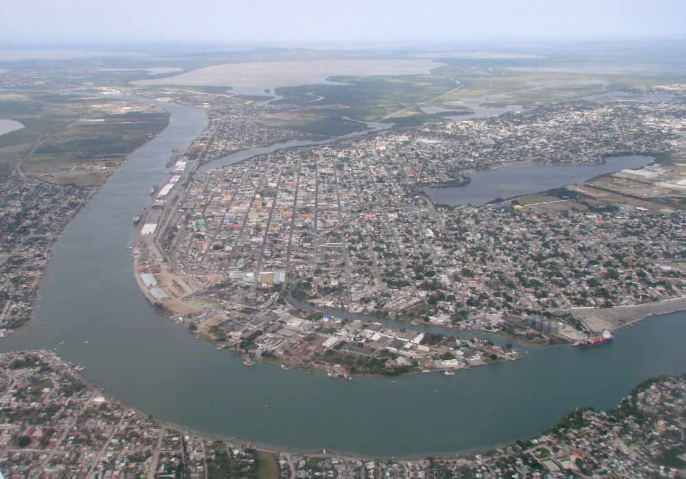
Tampico
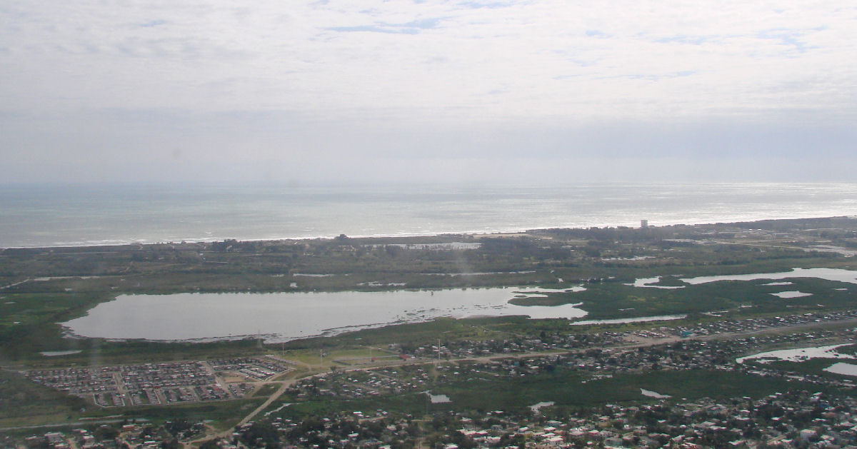
Tampico
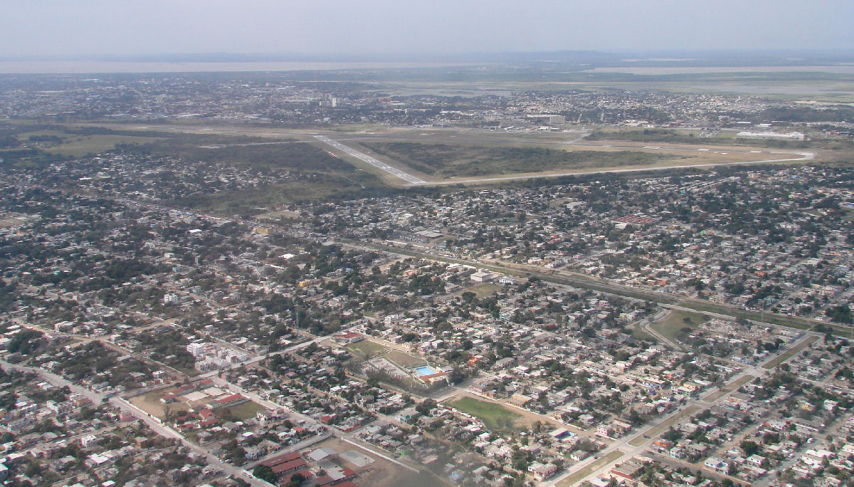
Tampico Airport
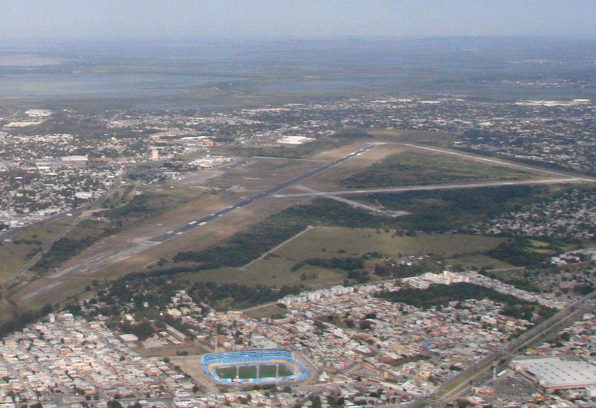
Tampico Airport
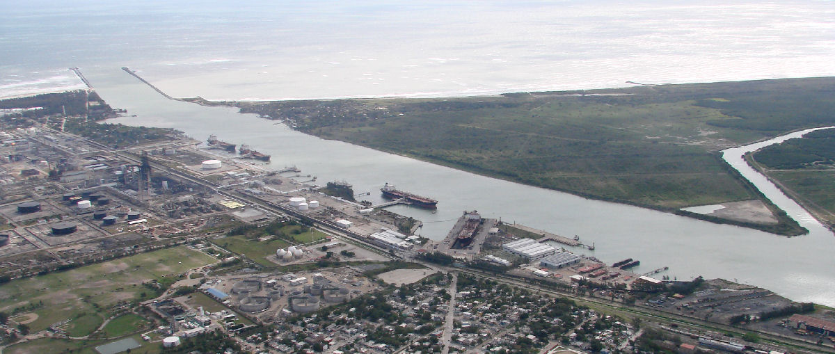
Tampico Port
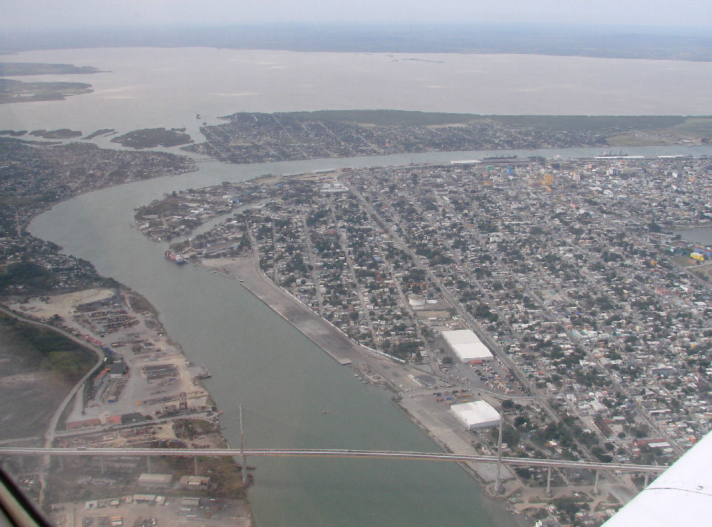
Bridge in Tampico
Tampico
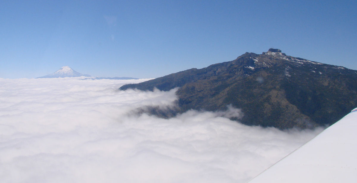
Pico de Orizaba in the background
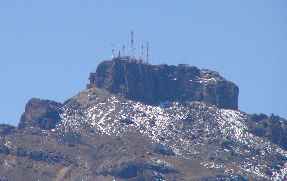
Antenna farm west of Veracruz by MXLEN user waypoint 19°24'N 97°05'W, 1 hour 28 minutes into the flight
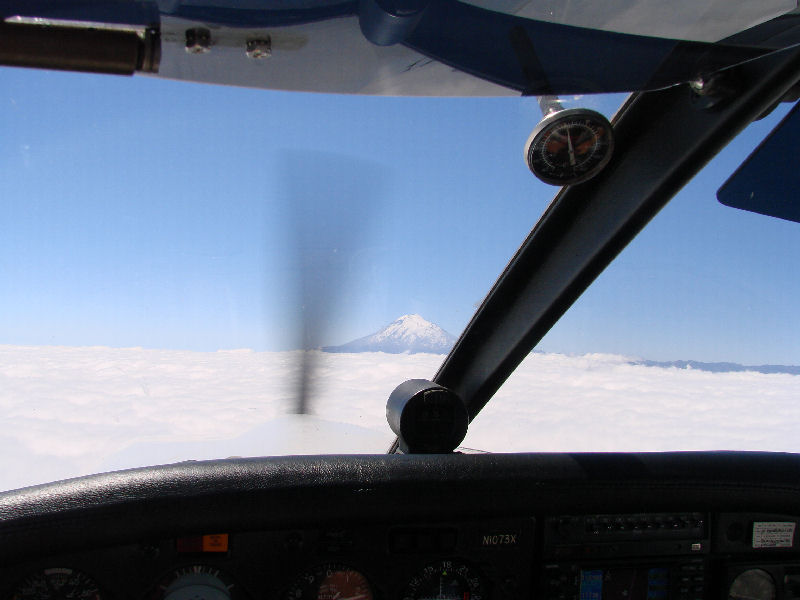
Pico de Orizaba
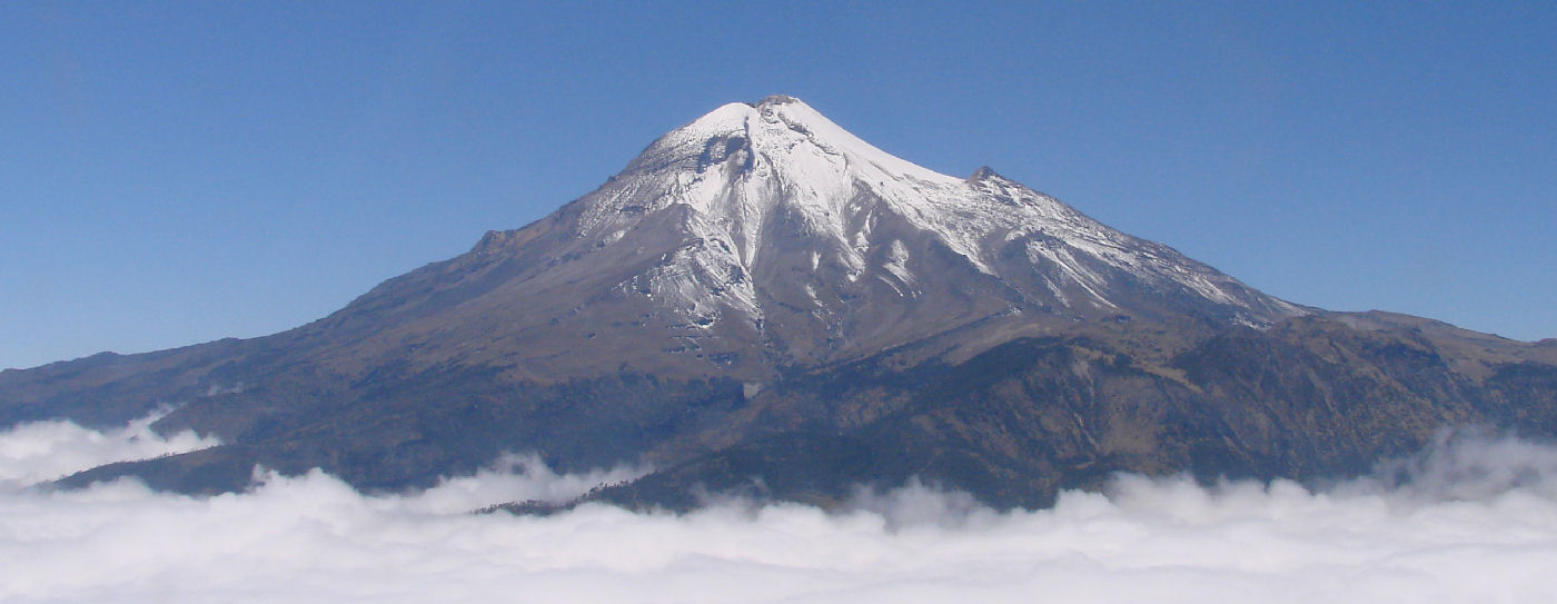
Pico de Orizaba, the halfway point, 1 hour 42 minutes into the flight
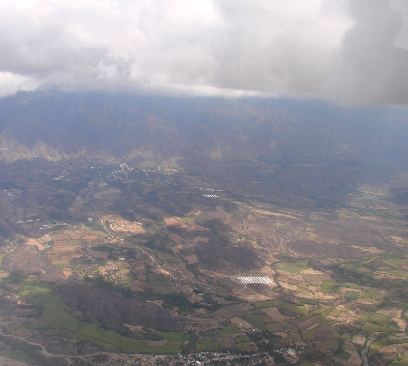
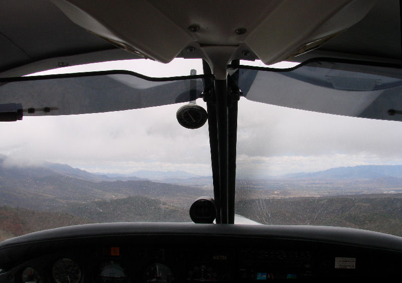
Dipping down under the clouds to cross the leading edge of the cold front, 2 hours 12 minutes into the flight
Santa María Tecomavaca, 2 hours 18 minutes into the flight
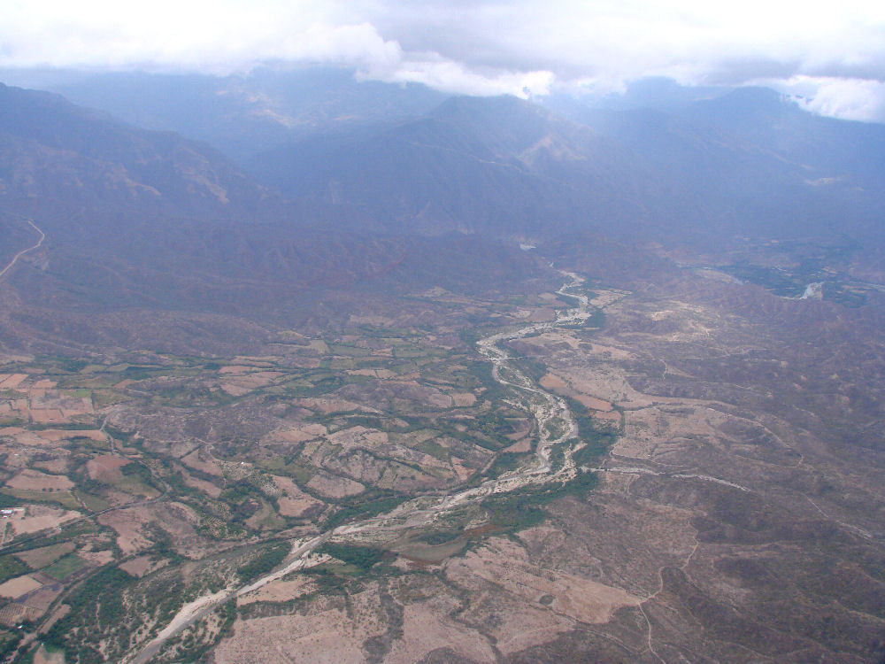
Following the valley to Oaxaca
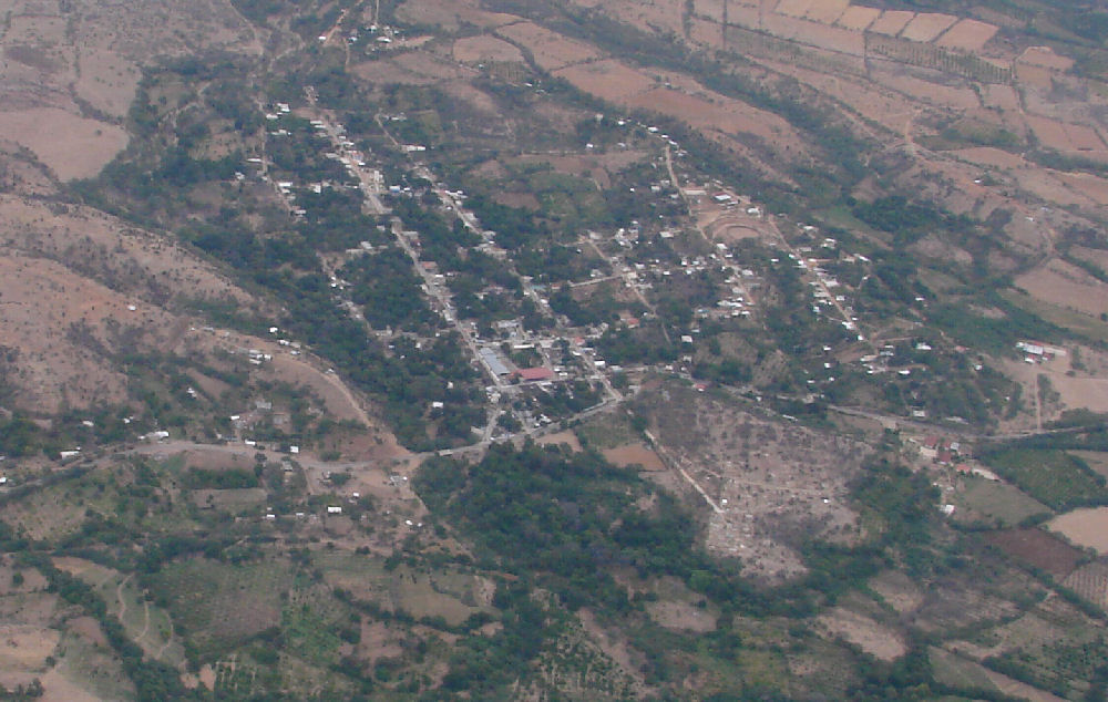
San Juan Bautista Cuicatlán with crazy mountain road to Santos Reyes Papalo at upper right, 2 hours 23 minutes into the flight
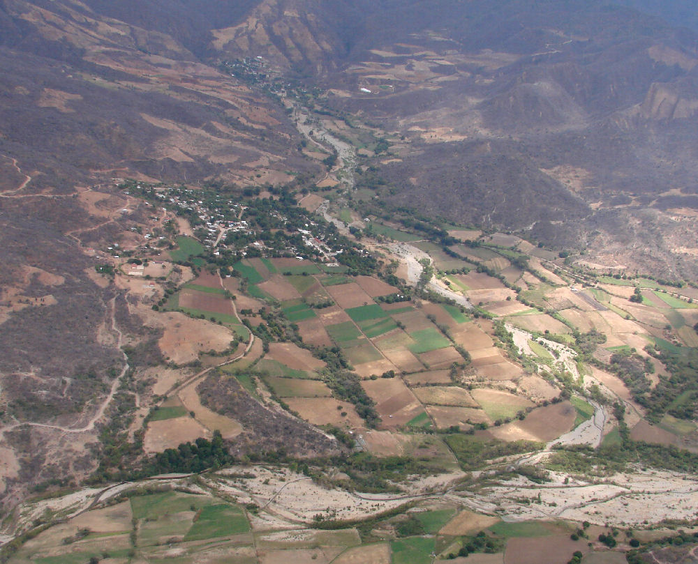
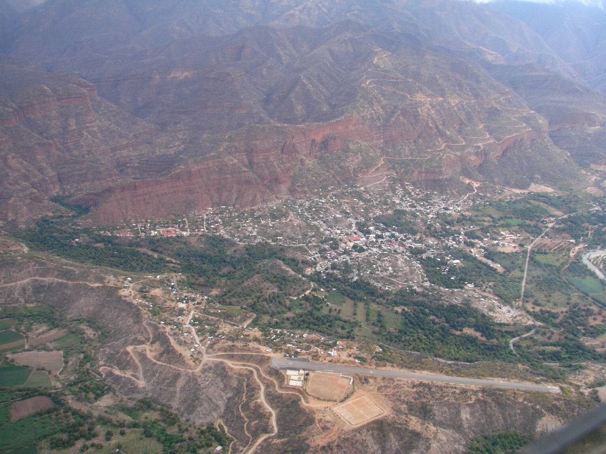
San Juan Bautista Atatlahuca, 2 hours 31 minutes into the flight
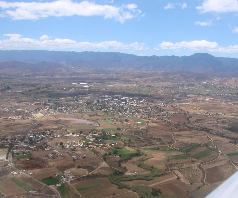
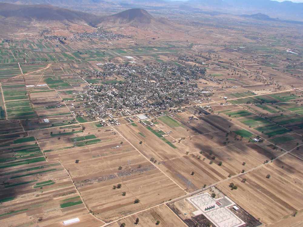
Entering the Valley of Oaxaca, 2 hours 38 minutes into the flight
Santa Martha, 2 hours 39 minutes into the flight
2 hours 39 minutes into the flight
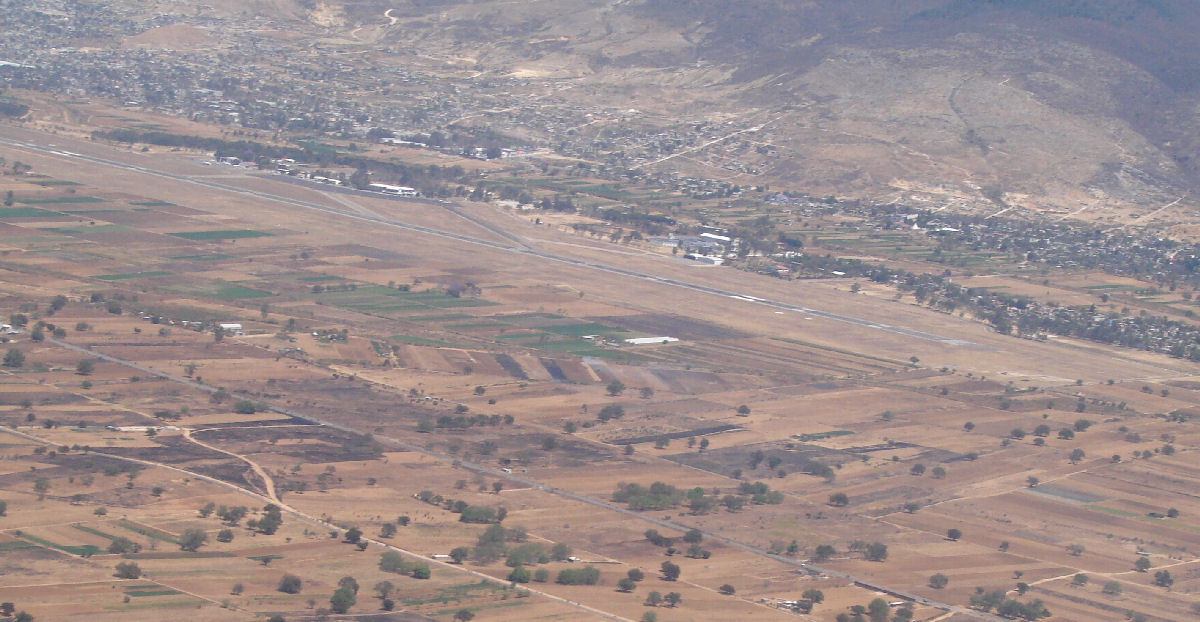
Oaxaca Airport, 2 hours 47 minutes into the flight
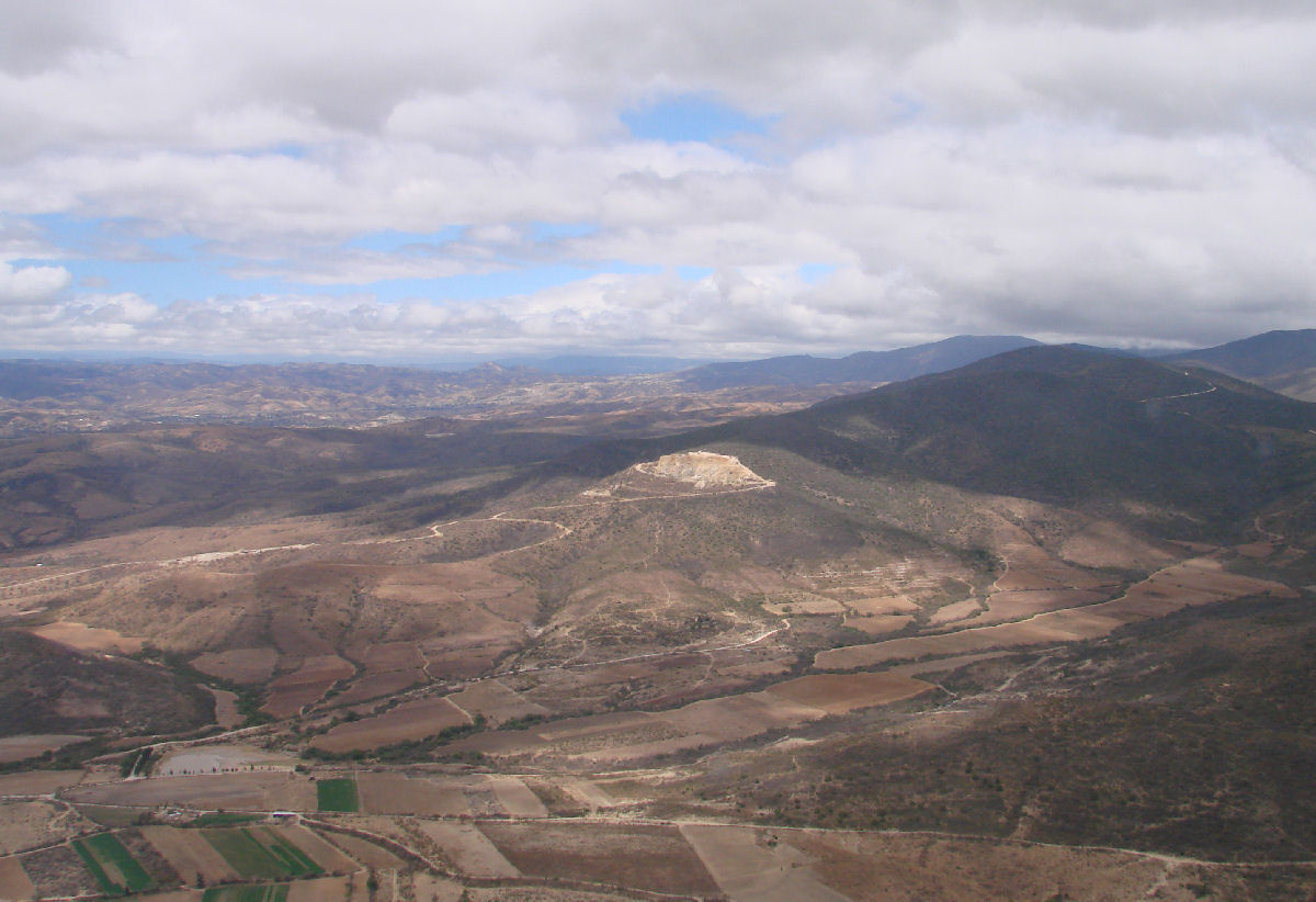
La Cienega, 2 hours 49 minutes into the flight
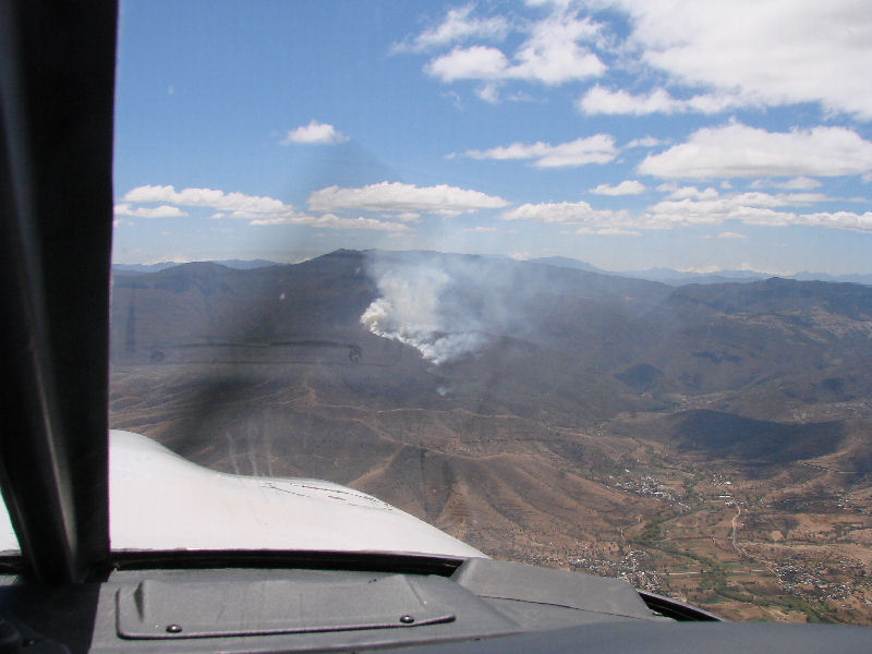
Brush fire on mountainside south of Oaxaca, 2 hours 57 minutes into the flight

South slopes of the Sierra Madre del Sur near Puerto Escondido, 3 hours 14 minutes into the flight
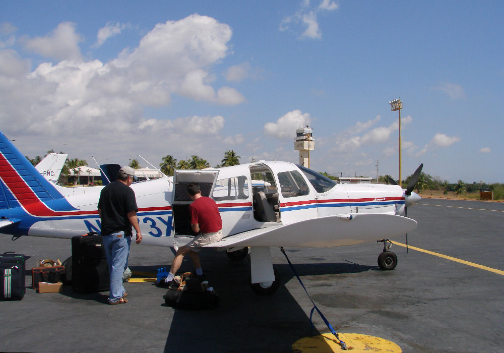
Safely on the group at Puerto Escondido
Return to Tampico to Puerto Escondido