photos by Sheila Clarke
|
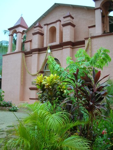
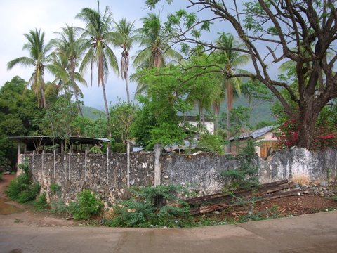
Xadani is a community of 7382 (2005) located east of Salina Cruz, 3 km from Laguna Superior in the Gulf of Tehauntepec region. The word Xadani comes from the Zapotec language and means base of the hill.
|
|
photos by Sheila Clarke |
![]() www.tomzap.com
www.tomzap.com
![]() Tom Penick:
tom@tomzap.com
Tom Penick:
tom@tomzap.com