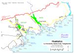
Aerial Views of Huatulco |
 Another BIG image. |
|
|
|
|
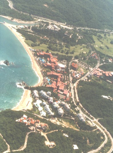
On the left is a portion of Tangolunda Bay. Hotel Quinta Real is the white buildings on the hilltop at the top of the photo. The golf course is seen below this and to the right. The Barcelo is next on the beach below the golf course. Followed by the Gala. The Zaashila resort and condos is the group of white buildings at lower center. The road is Boulevard Benito Juárez.
|
|
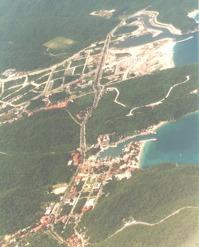
The upper portion of the photo shows new development (July 1997) with a new marina under construction. Out of view to the upper right is the resort area and Tangolunda bay. In the center of the photo is the RV park Los Mangos. In the lower portion of the photo is Santa Cruz Huatulco with it's marina and Playa Santa Cruz. The roadway running approximately vertical is Boulevard Benito Juárez. Out of view to the left is La Crucecita.
|
|