Home >> Colima >> Manzanillo >> Manzanillo Airport >> More Photos

More Photos

Manzanillo Playa de Oro International Airport (ZLO)

Return to Manzanillo Airport

GPS 19°08.91'N 104°33.58'W (These coordinates are not for air navigation.)

to the west
Barra de Navidad, Jalisco
Melaque, Jalisco
Playa de Cocos, Colima
Melaque, Jalisco
La Manzanilla, Jalisco
Tenacatita, Jalisco
 
to the north
Cihuatlán, Jalisco
to the east
Cuyutlan, Colima
Manzanillo, Colima
Main Index
Flight to Manzanillo
Manzanillo Airport
Manzanillo Aviation Weather
Aerial Photos
Have you Met Manzanillo?
Manzanillo Bus Station
Colima Airport
Car Rental Tips
  Gear-up Landing
Currency
Manzanillo Weather
Telephone Calls
Transportation
Visitors' Comments
AboutHomeSearch


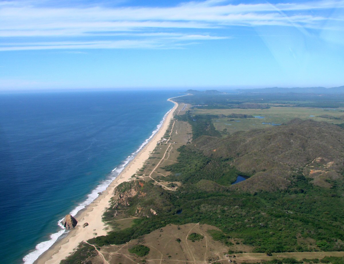
Arriving at Playa de Oro Airport on a long final approach for Runway 28.


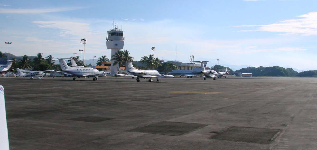
The ramp at Playa de Oro


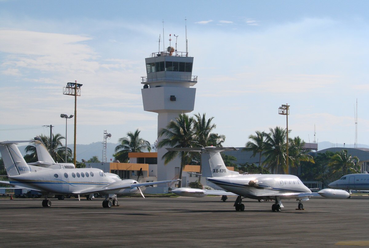
The airport tower. Behind the tower are the offices of airport operations (upstairs) and the comandancia (downstairs). The airport terminal is at far right.


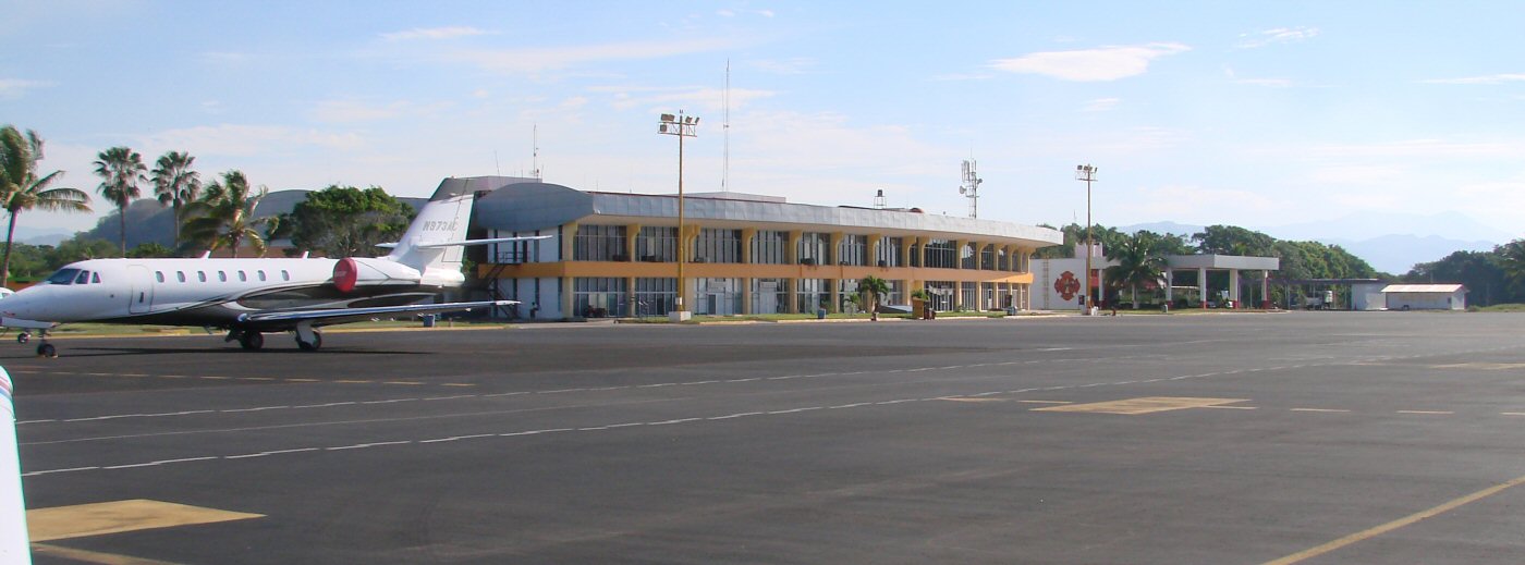
The airport terminal building as seen from the ramp

Return to Manzanillo Airport

| Top of page | Main index | Search | What's new |
The Pacific Coast of Mexico www.tomzap.com Tom Penick:   tom@tomzap.com