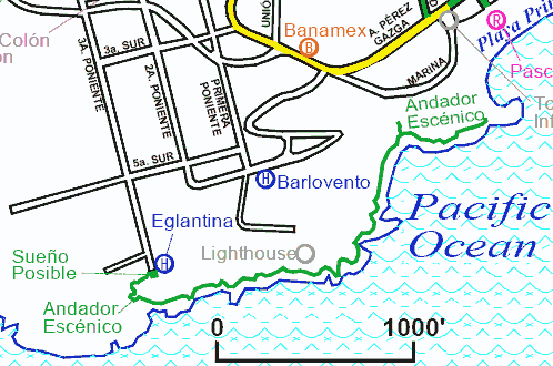
Andador Escénicoseaside pedestrian walkwayGPS: 15°51.402'N 97°4.161'W (scenic overlook at west end) |
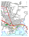 Puerto Escondido Centro |
|
|
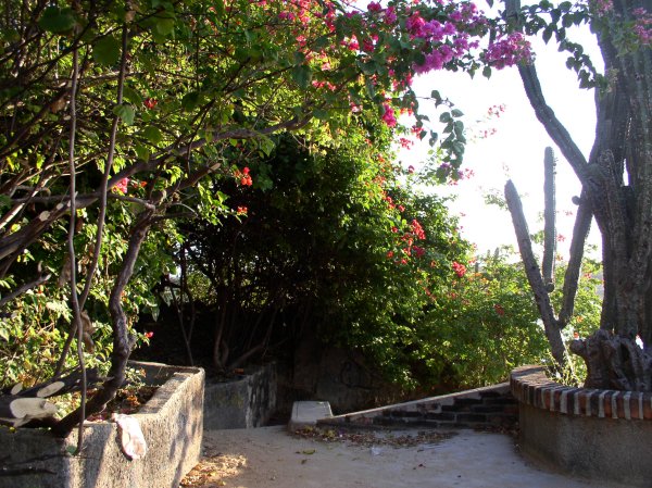
This beautiful walkway was as first deemed impossible by the State of Oaxaca. But Efren Bruciaga and 200 workers took three months to build this project in 1992. The Andador Escénico extends from the western end of Playa Principal to a scenic overlook, named Sueño Posible, next to the Eglantina condos, hugging the rocky cliffs along the seashore below the lighthouse. In places the walkway is quite near the water and becomes wet from the crashing waves. The walk covers a distance of one mile. I took these photos on our November 2006 trip. The sea was beginning to take a toll on the walkway but it was still in reasonably good condition. See also Aerial Photos taken in 2009.
New construction:
|
|
The walk begins (see steps at left) at the western end of Playa Principal
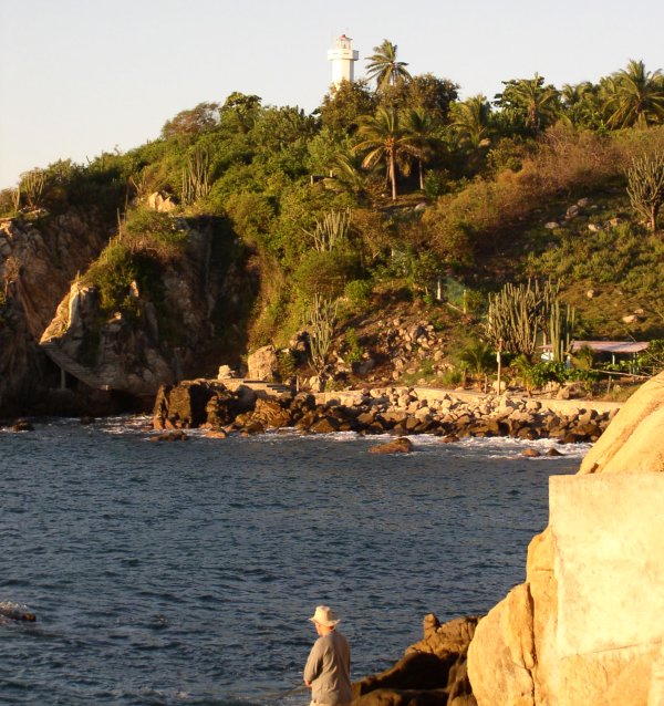
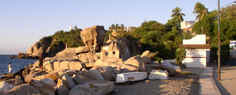
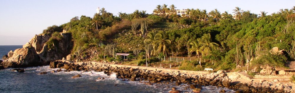
The walkway makes its way along the shore below the lighthouse

It looks like a good day for net fishing
At the point the walk connects back to the city streets between the Hotel Barlovento and the Adoquín
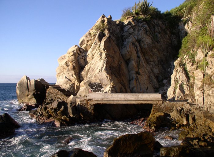
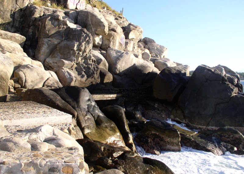
A bridge over troubled waters. You may get damp here.
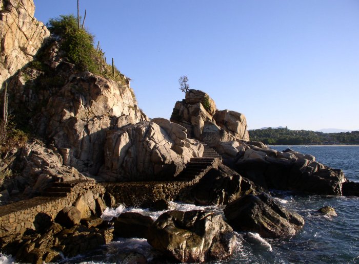
Looking back along the walk. Playa Marinero is in the background.
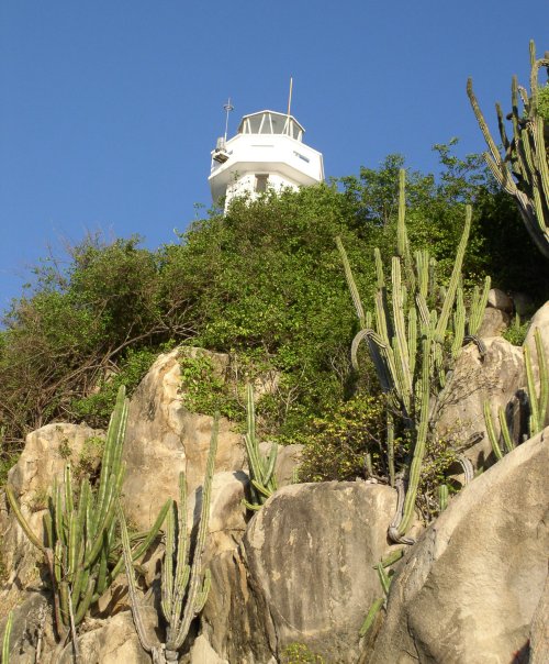
A glimpse of the lighthouse

A cactus closeup
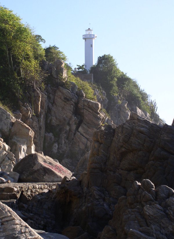
The lighthouse again
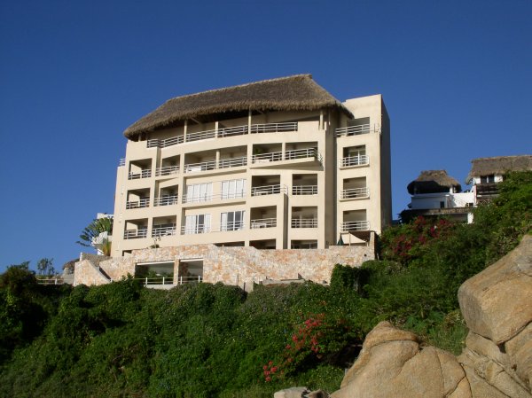
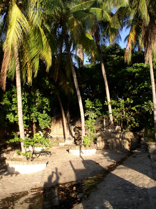
New condominium complex at the end of the walk.

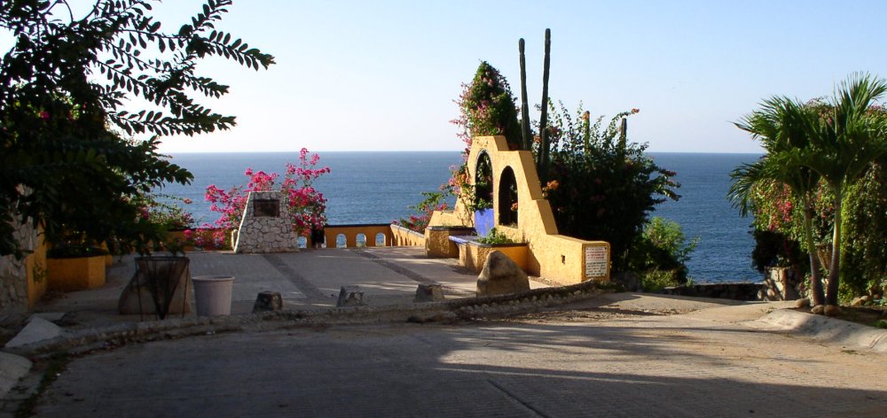
The walkway ends at the Sueño Posible scenic overlook GPS 15°51.402'N 97°4.161'W next to the Eglantina condos