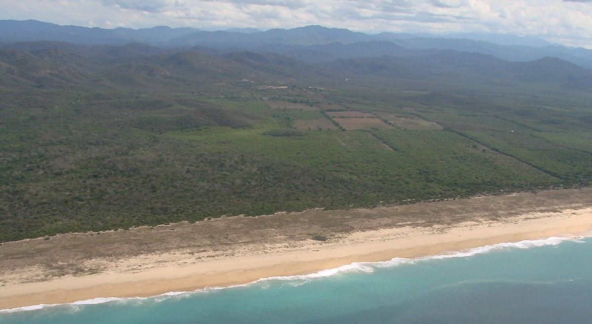
North of Mayto
Corn is the principle crop in Mayto. The story is that the name of the town, initially spelled "Maito", is from the two words maiz (corn) and its chief product the tortilla. Hotel Mayto (333) 177-2184 (Mexico).
North of Mayto
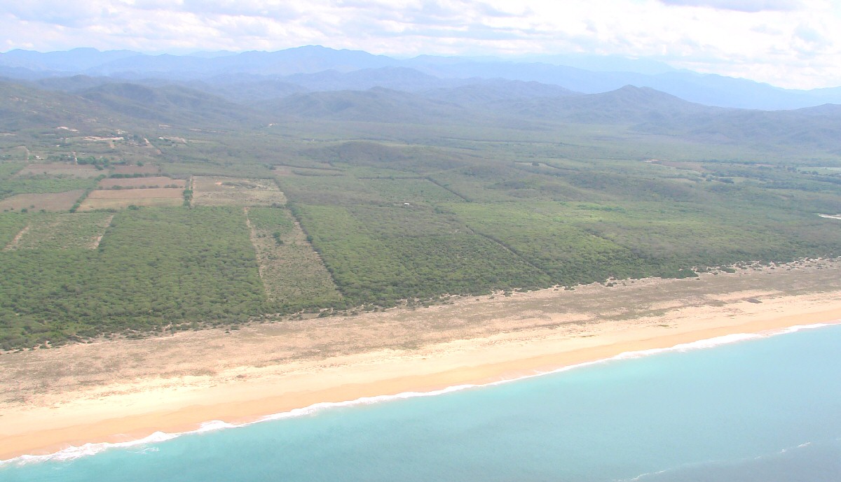
North of Mayto
North of Mayto
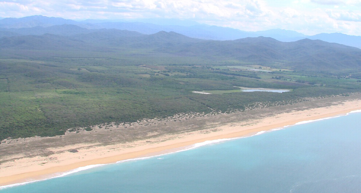
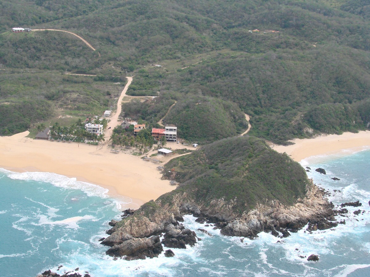
Mayto comes into view at right
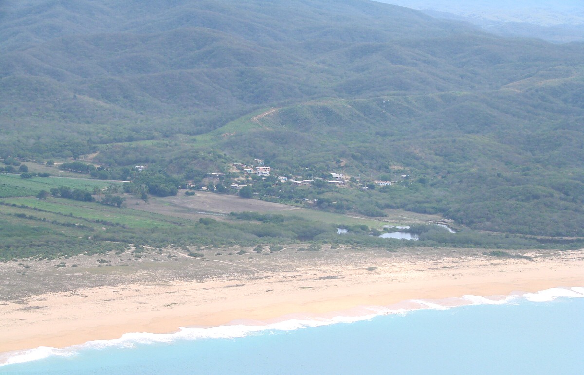
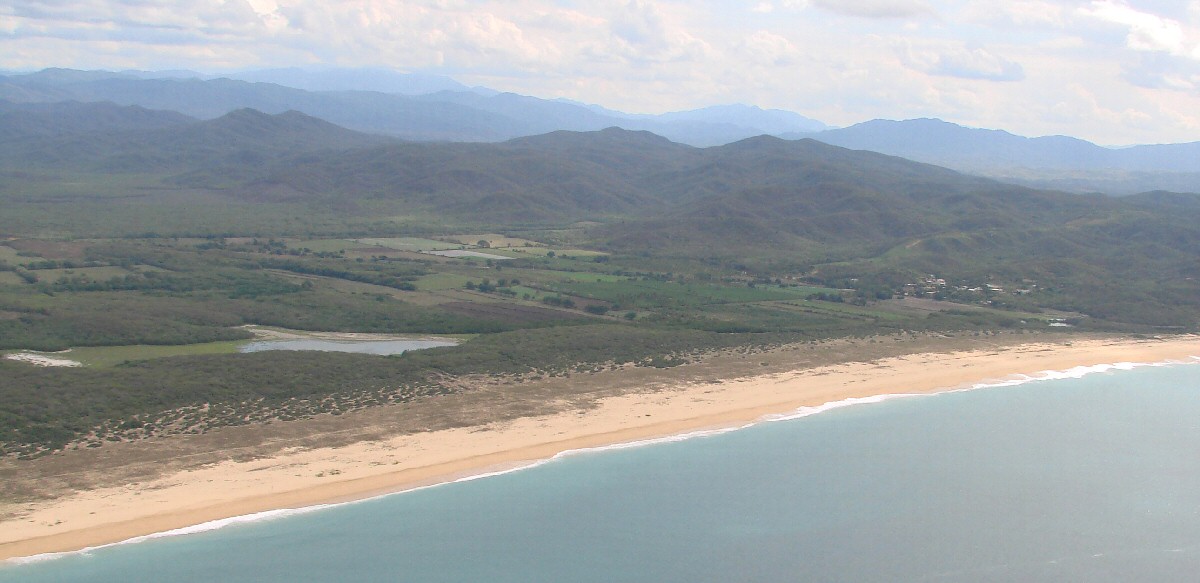
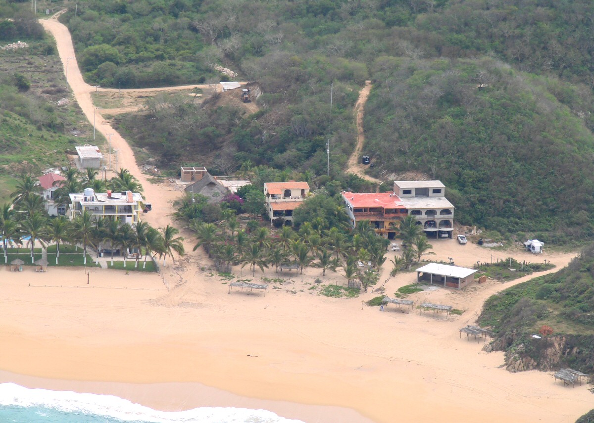
Mayto
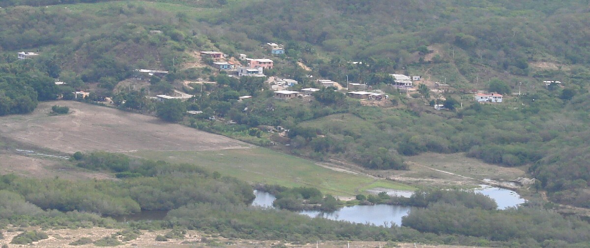
A closer look
Mayto
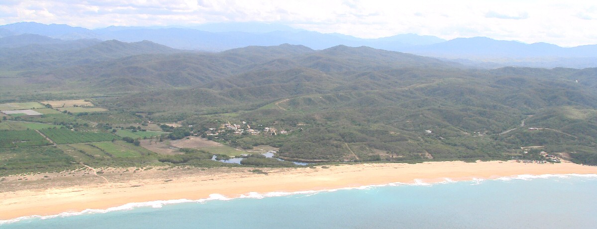
Mayto
beach closeup, Hotel Mayto at left. (333) 177-2184 (Mexico)
A wider view
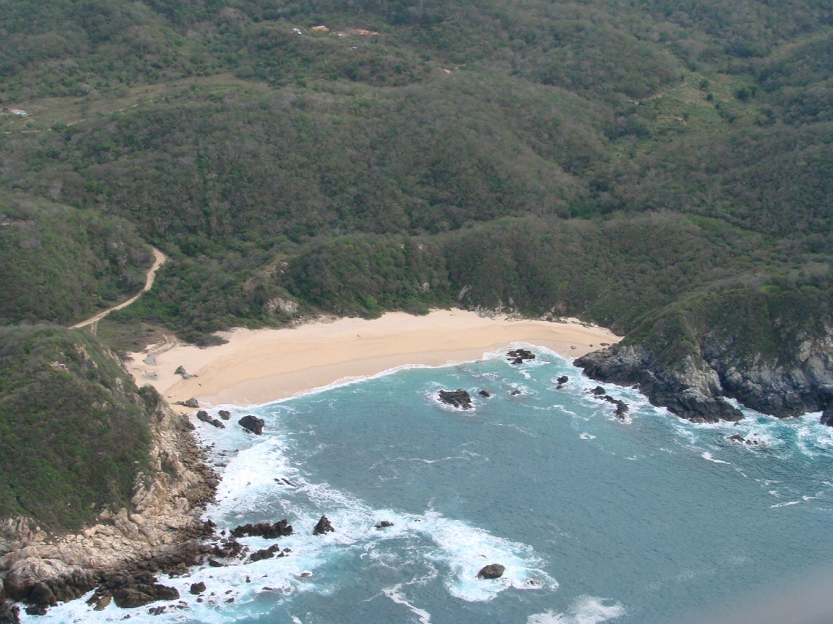
beach
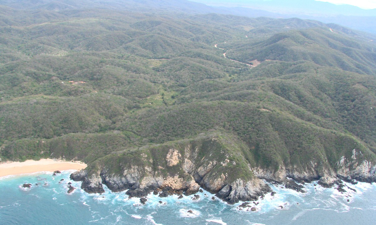
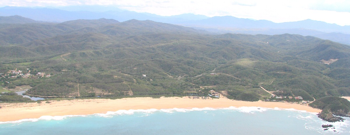
South of Mayto