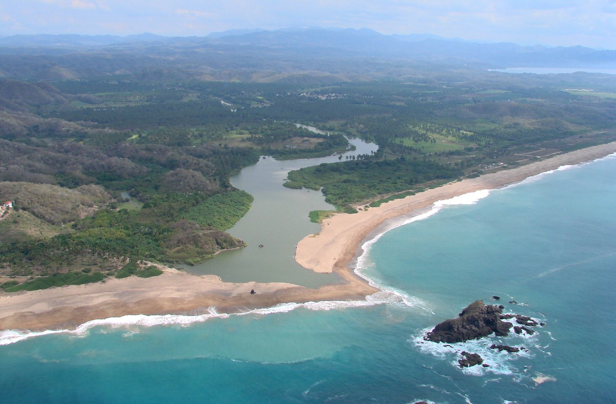
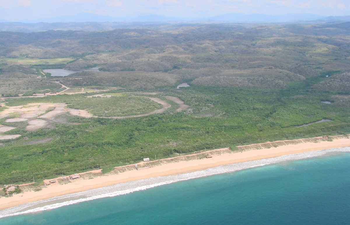
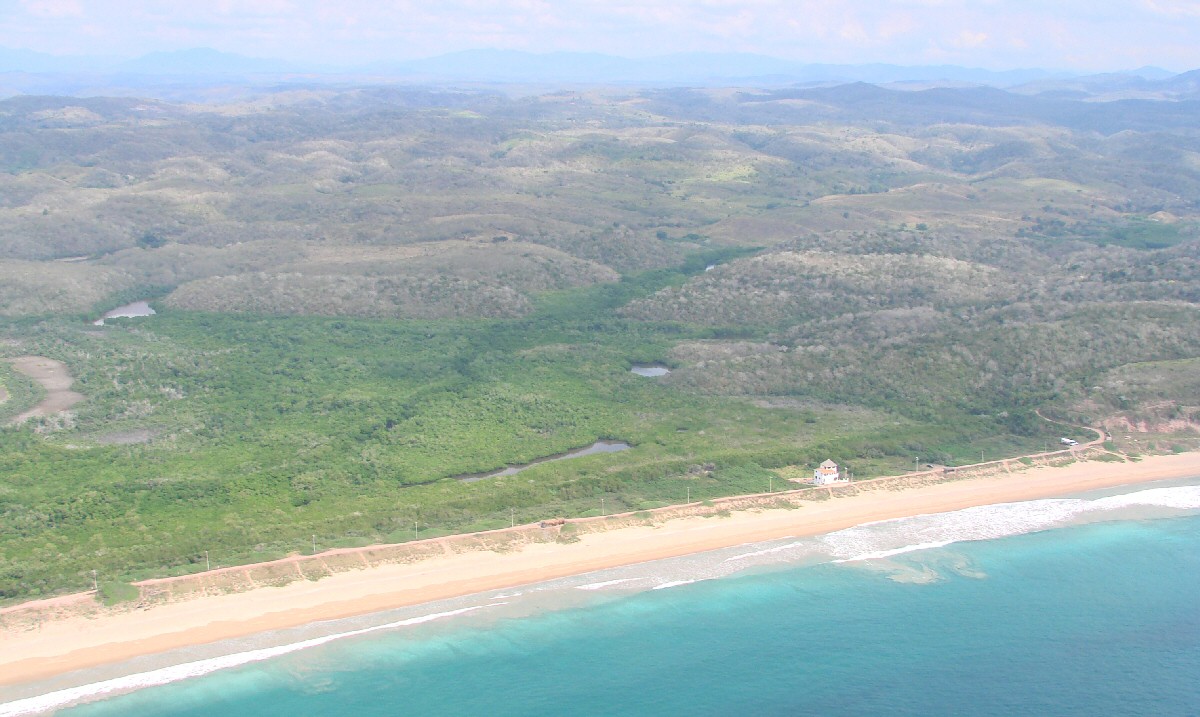
Río Purificación and Estero el Rosario
|
Río Purificación and Estero el Rosario
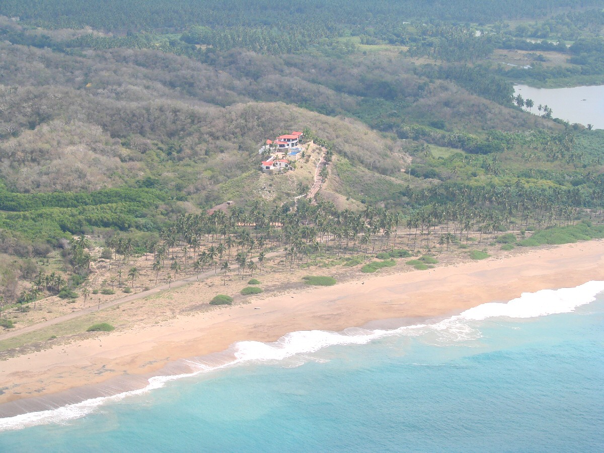
Oceanfront home
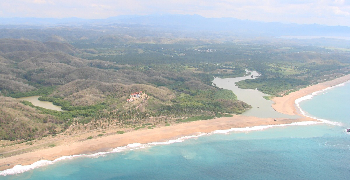
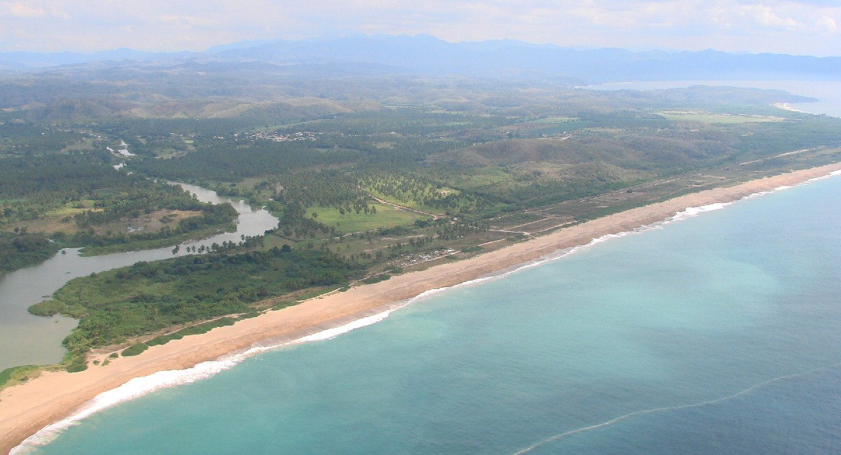
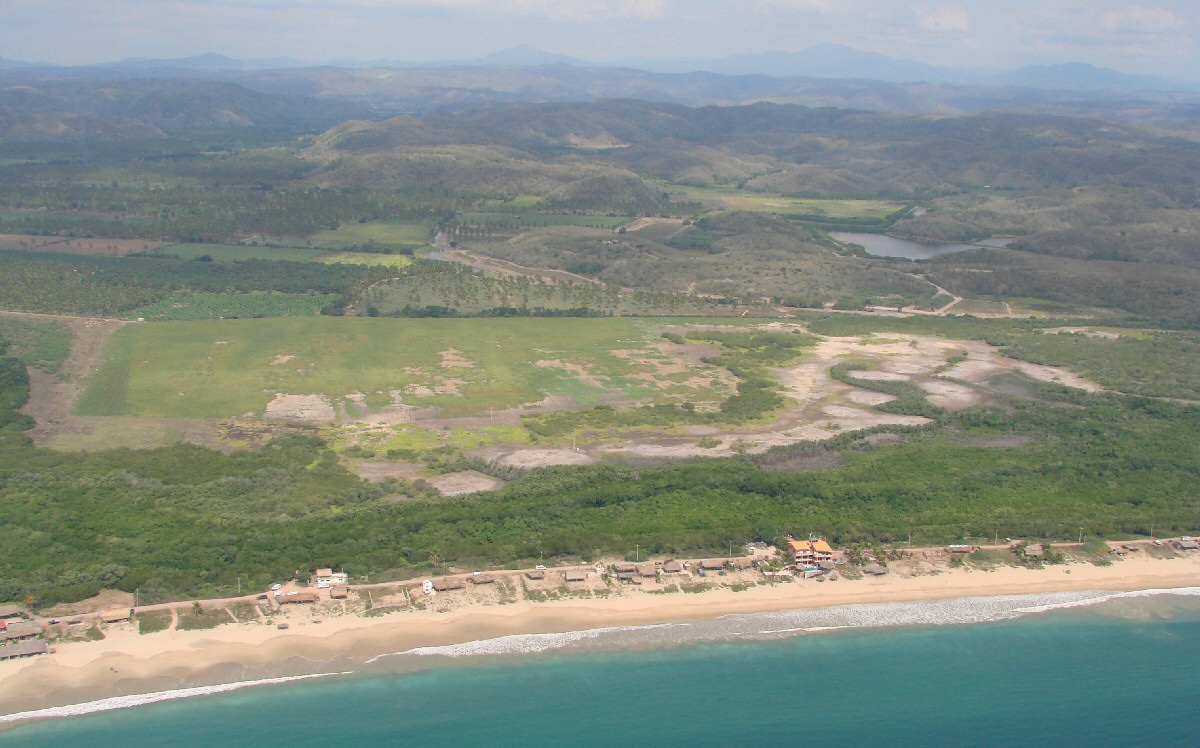
Río Purificación
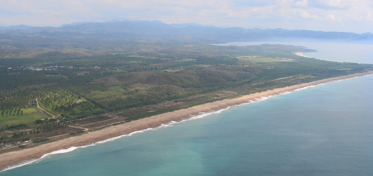
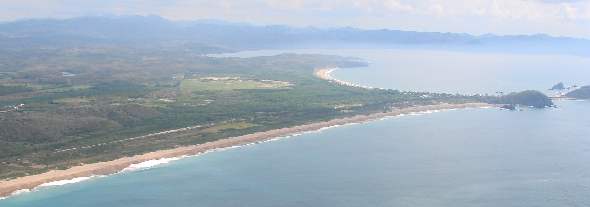
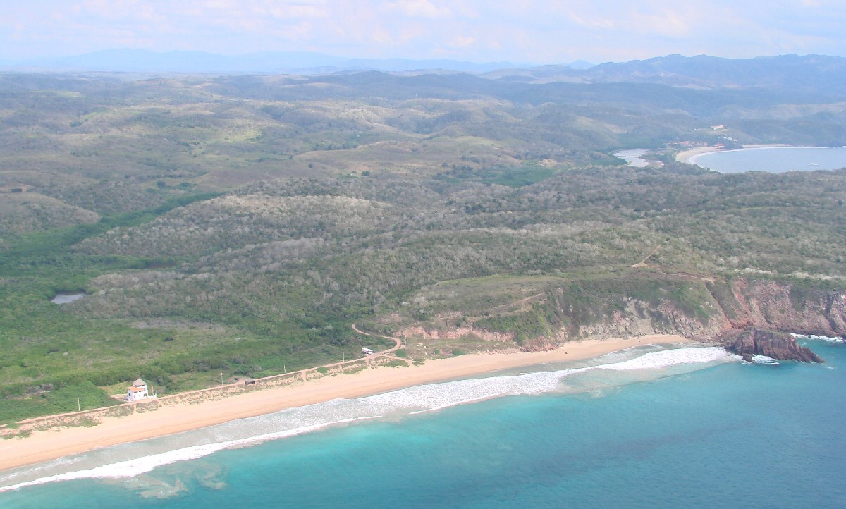
Bahía Tenacatita in background
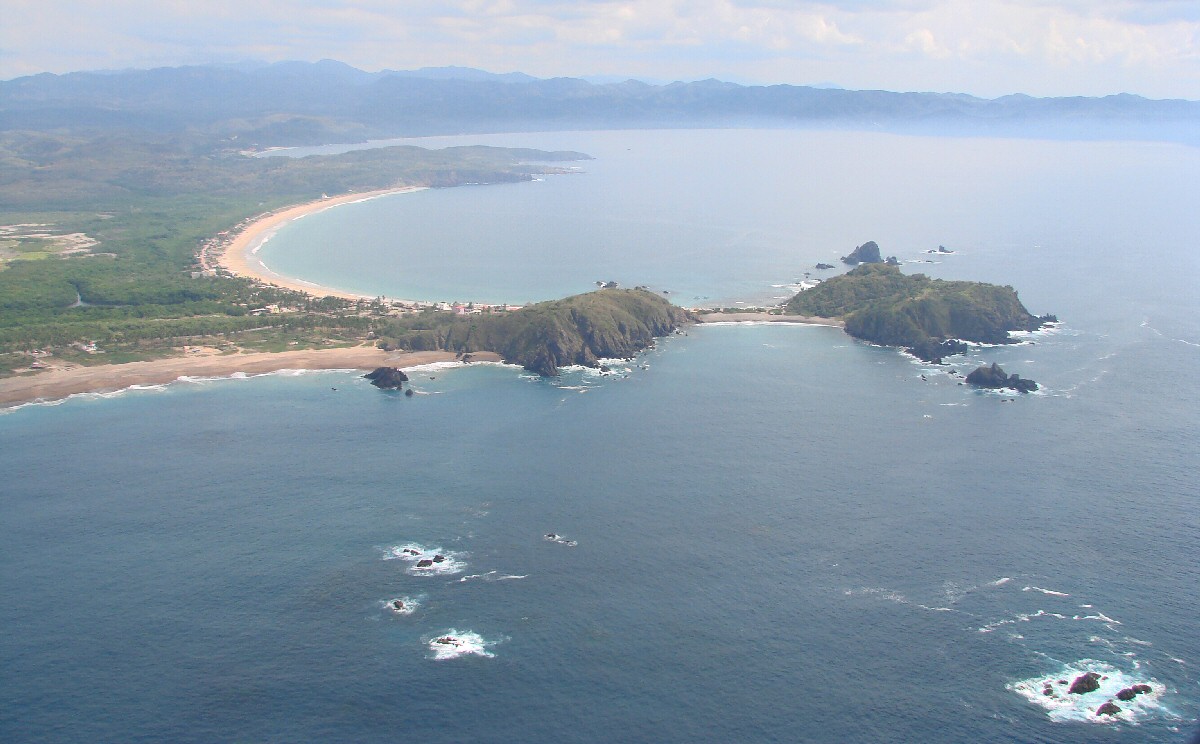
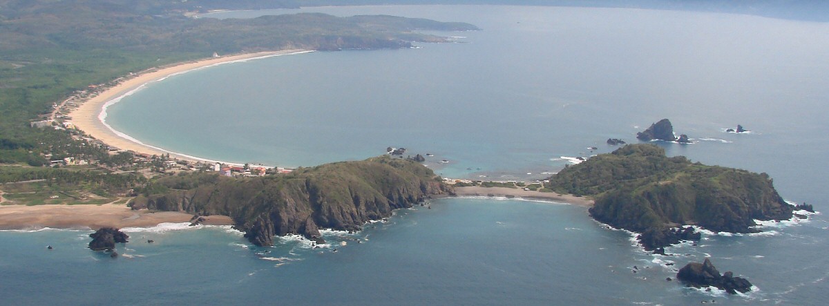
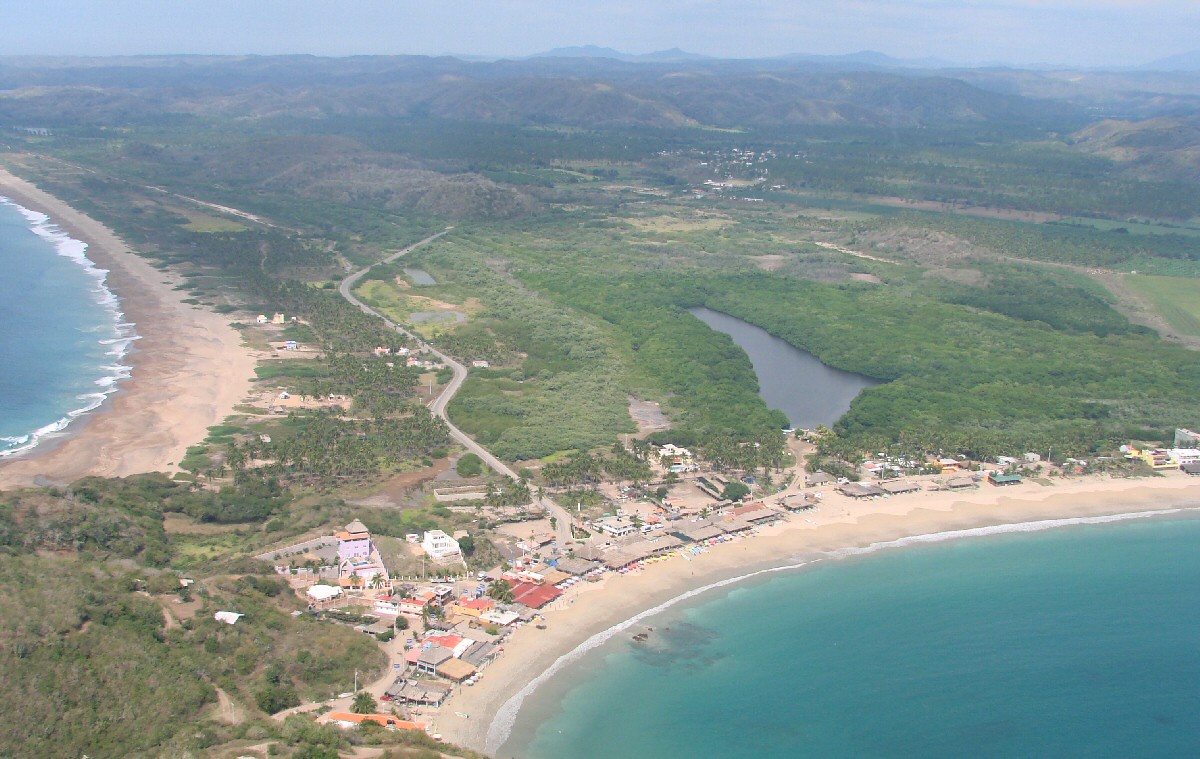
Tenacatita, with Punta Hermanos at right
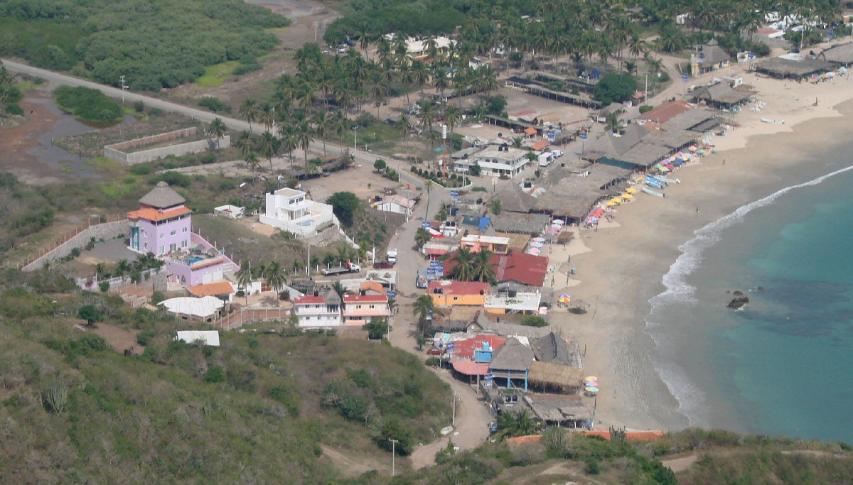
Tenacatita
West end of Tenacatita

Western point of Tenacatita
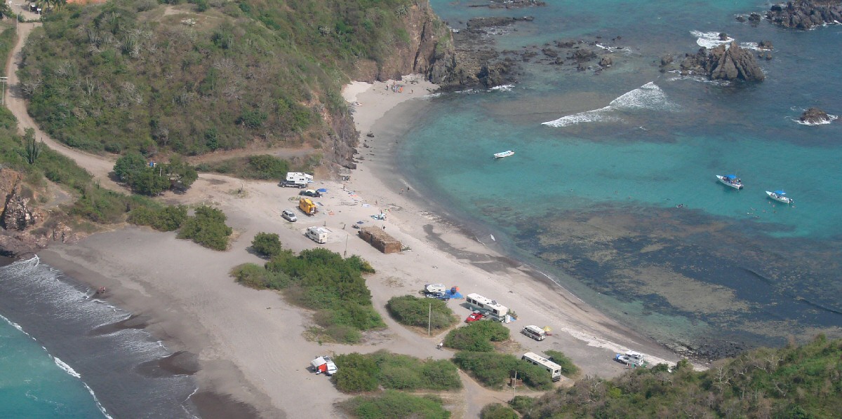
West end of Tenacatita
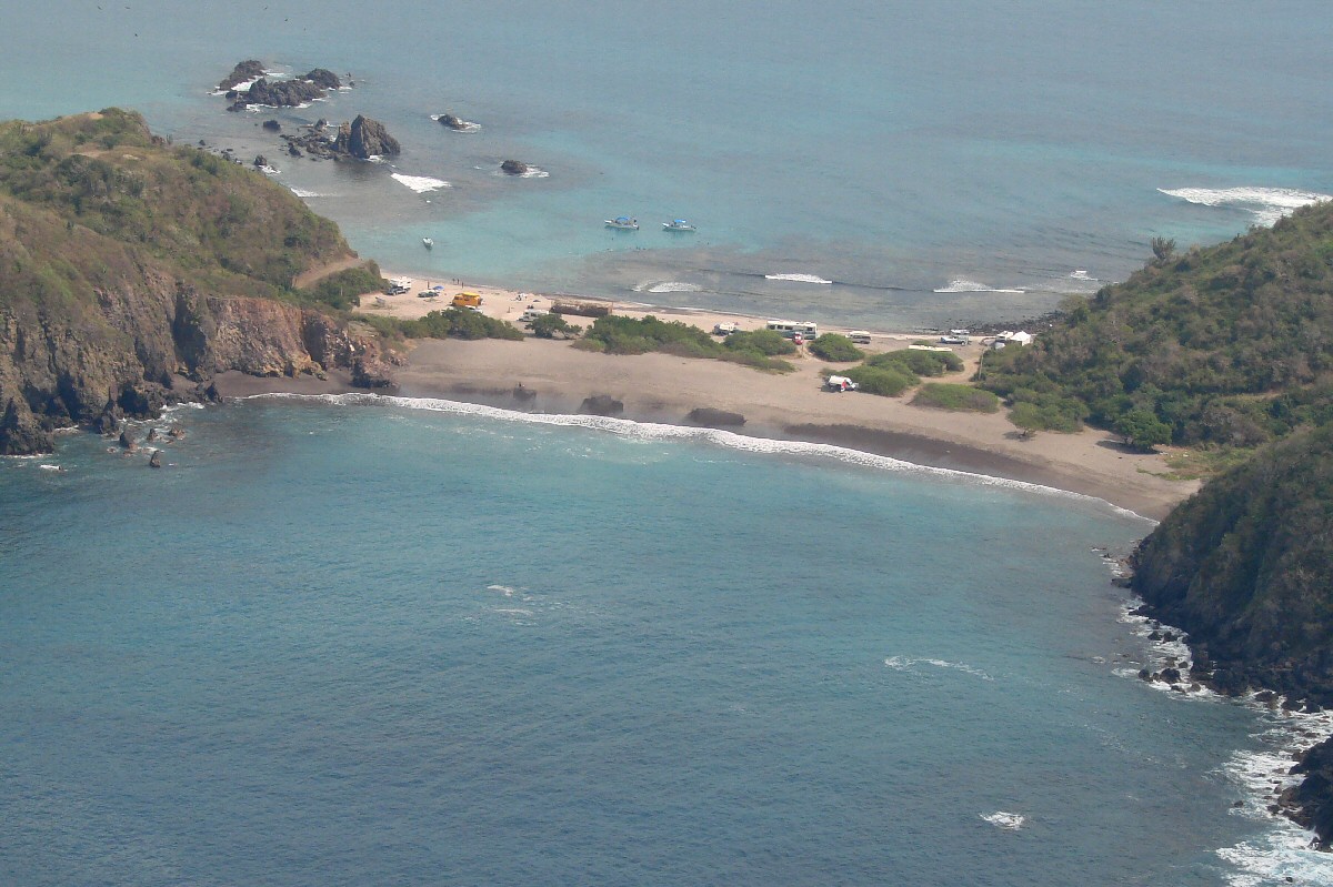
Entrance to Tenacatita
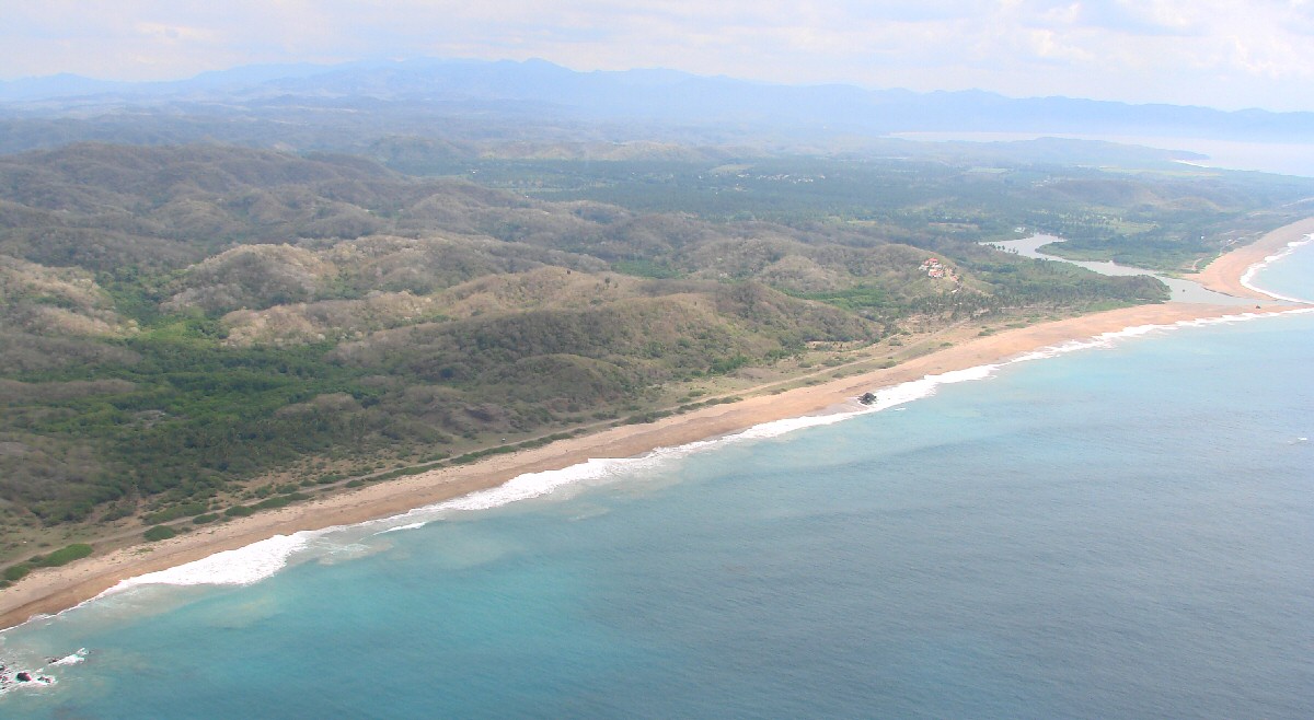
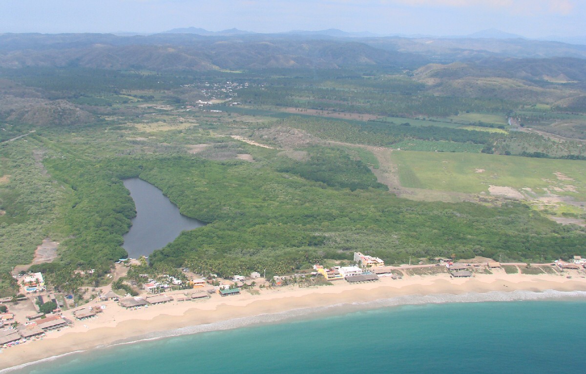
Tenacatita and Estero Verde with Lázardo Cárdenas in background
Tenacatita, east end, with Boca de Iguanas in the background