Home >> Oaxaca >> Puerto Escondido >> Flight to Puerto Escondido 2014 >> Puerto Escondido to Tampico >> More Photos

More Photos

Puerto Escondido to Tampico 2014, Page 6

Santo Domingo Coatlán,   San Geronimo Coatlán,   San Nicolas,   San Vicente Coatlán

Return to Flight to Puerto Escondido 2014

Aerial Photos:
Puerto Escondido
Colotepec
New Highway Construction
Santa María Colotepec
San Bartalomé Loxicha
San Bartazar Loxicha
Santo Domingo Coatlán
Oaxaca
Main Index
Flight to Puerto Escondido 2009
Aerial Photos 2009
Puerto Escondido
Tampico Aviation Weather
Oaxaca Aviation Weather
Puerto Escondido Aviation Weather
Río Colotepec
Flight to Huatulco
Regional Map
Transportation
Great Circle Mapper
Visitors' Comments
Weather
AboutHomeSearch

< More Photos - Page 5 | More Photos - Page 6 | More Photos - Page 7 >


Santo Domingo Coatlán


Unknown town 2 miles south of San Geronimo Coatlán


16.208,-96.892   Google Maps


San Geronimo Coatlán


4 miles north of San Geronimo Coatlán   16.292,-96.867   Google Maps


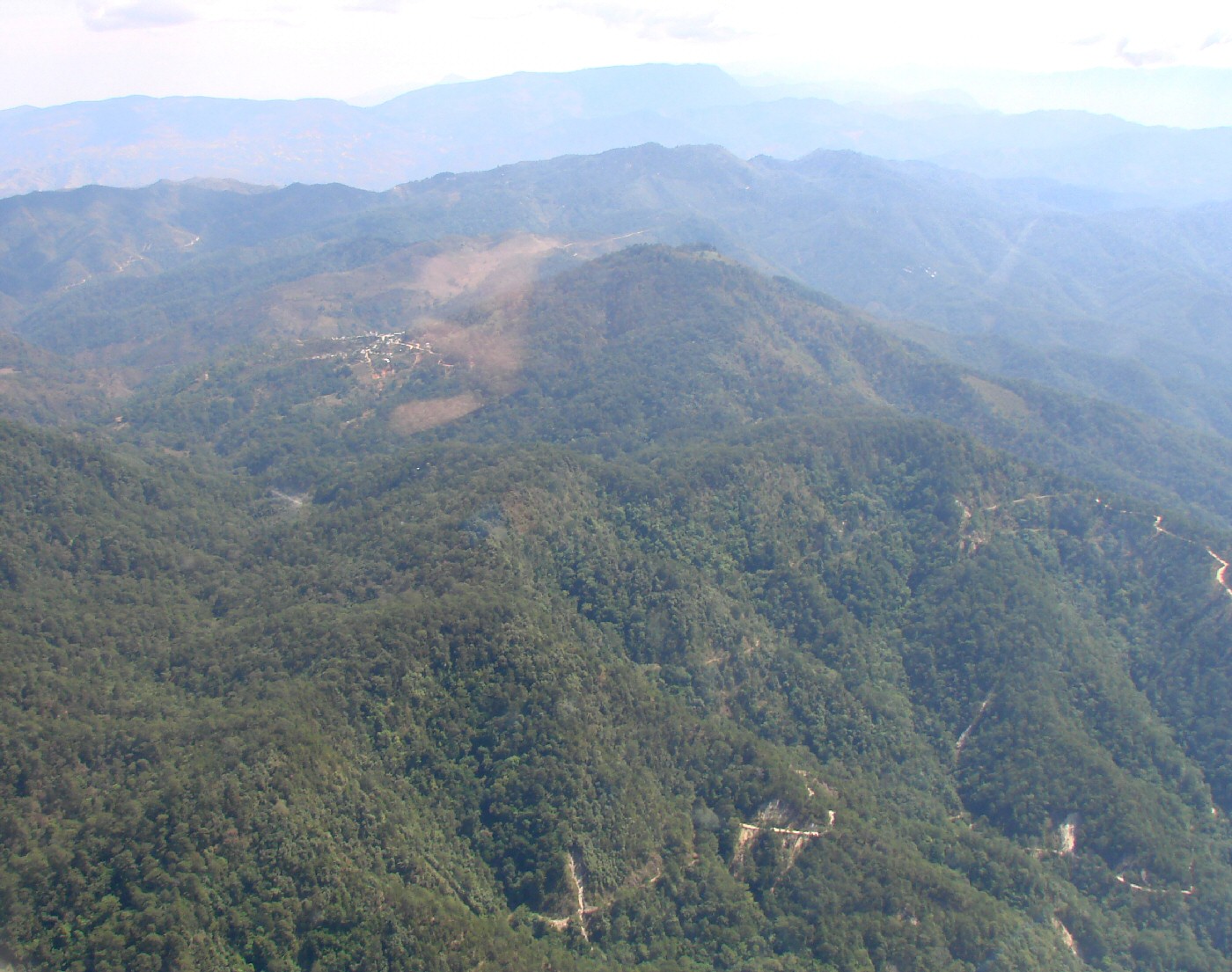
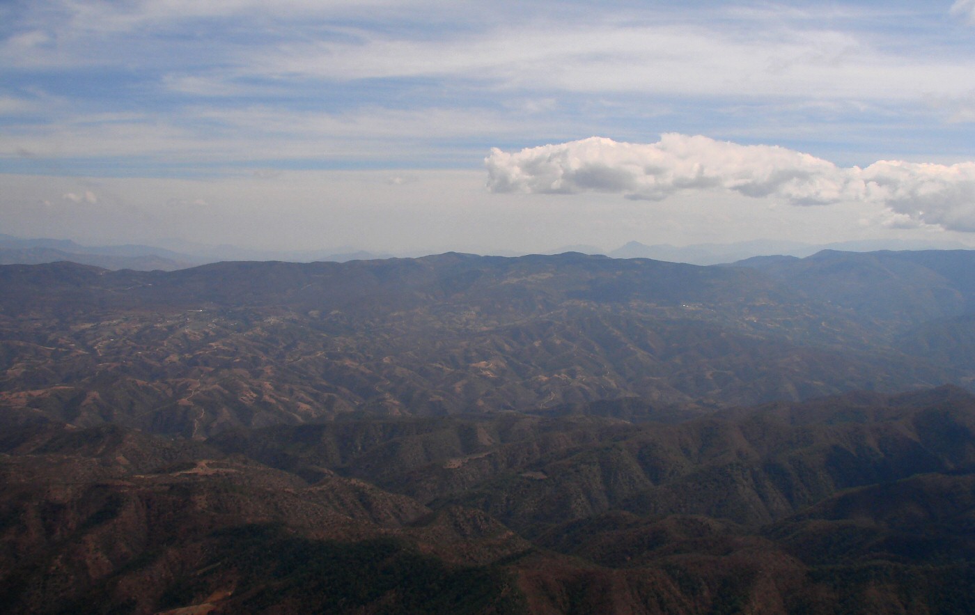
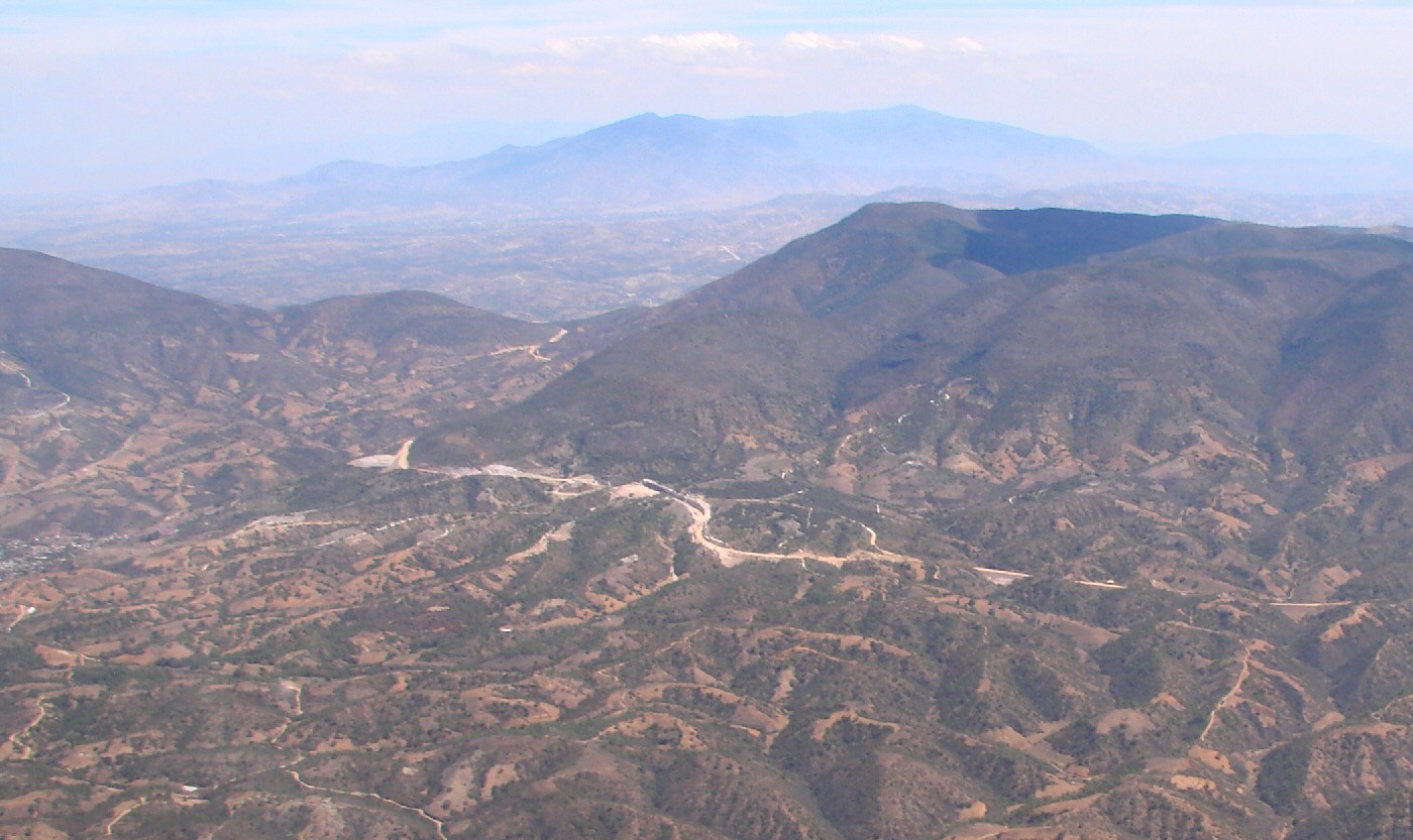
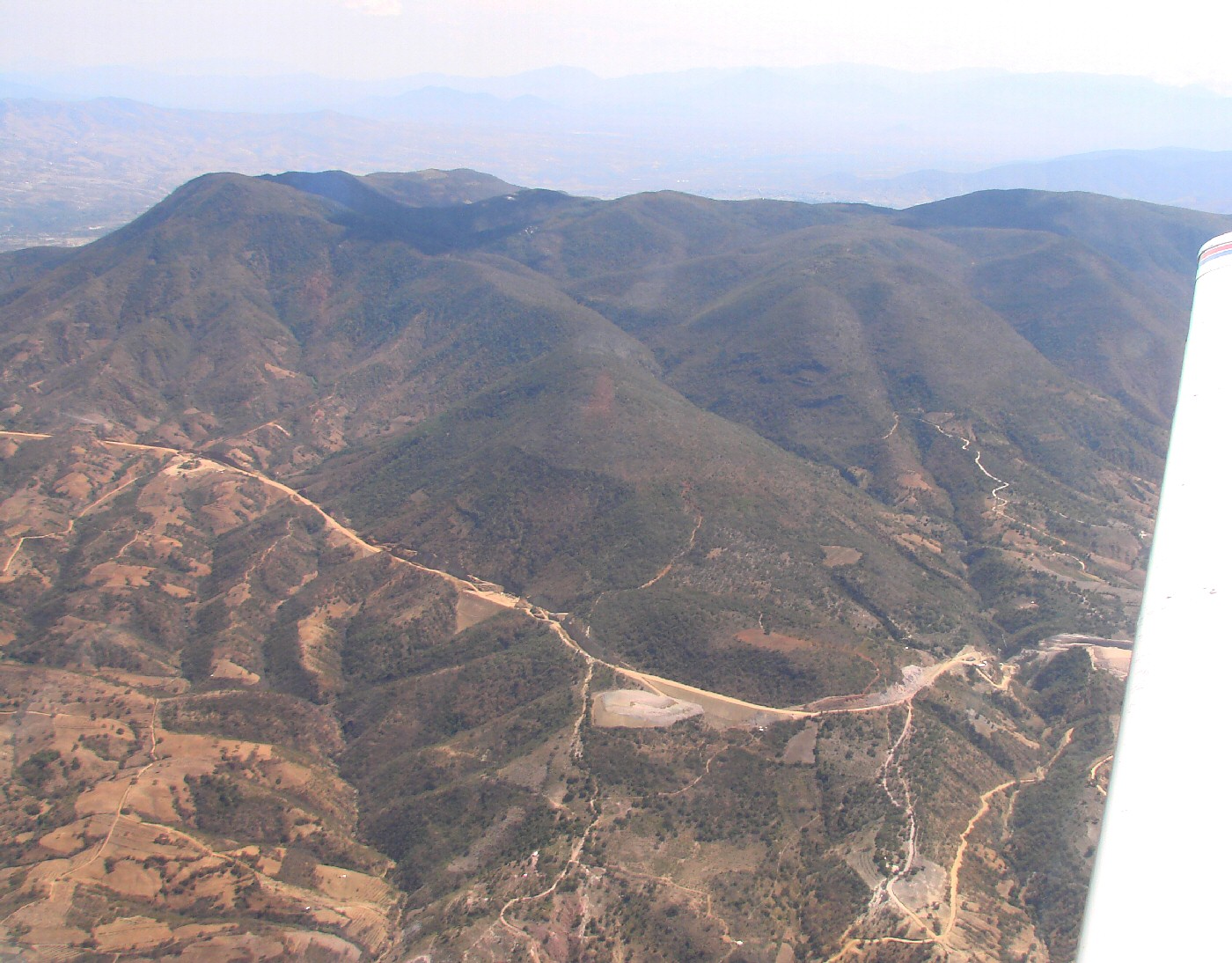
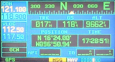
Flying north about about 9000 feet above sea level


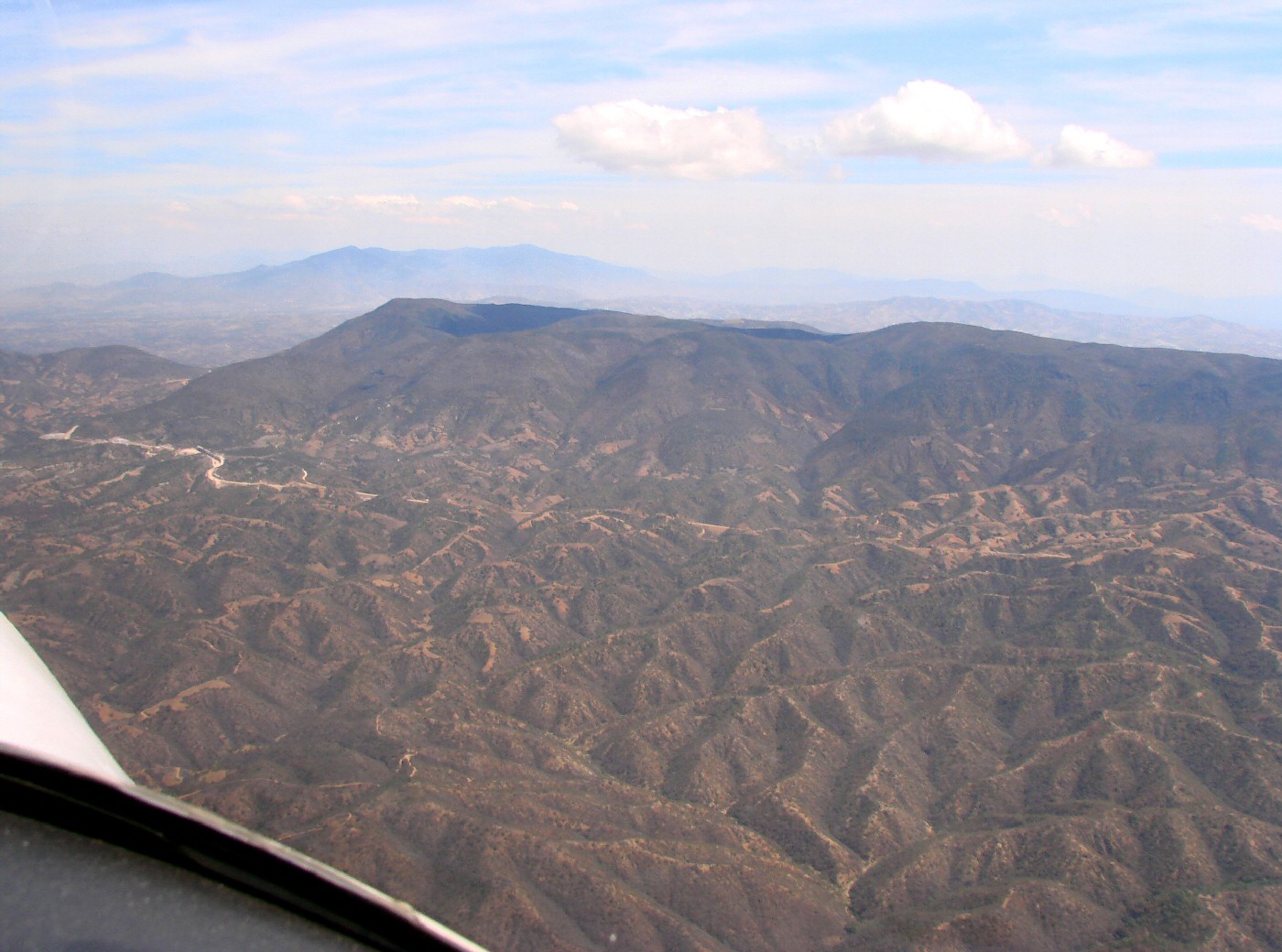
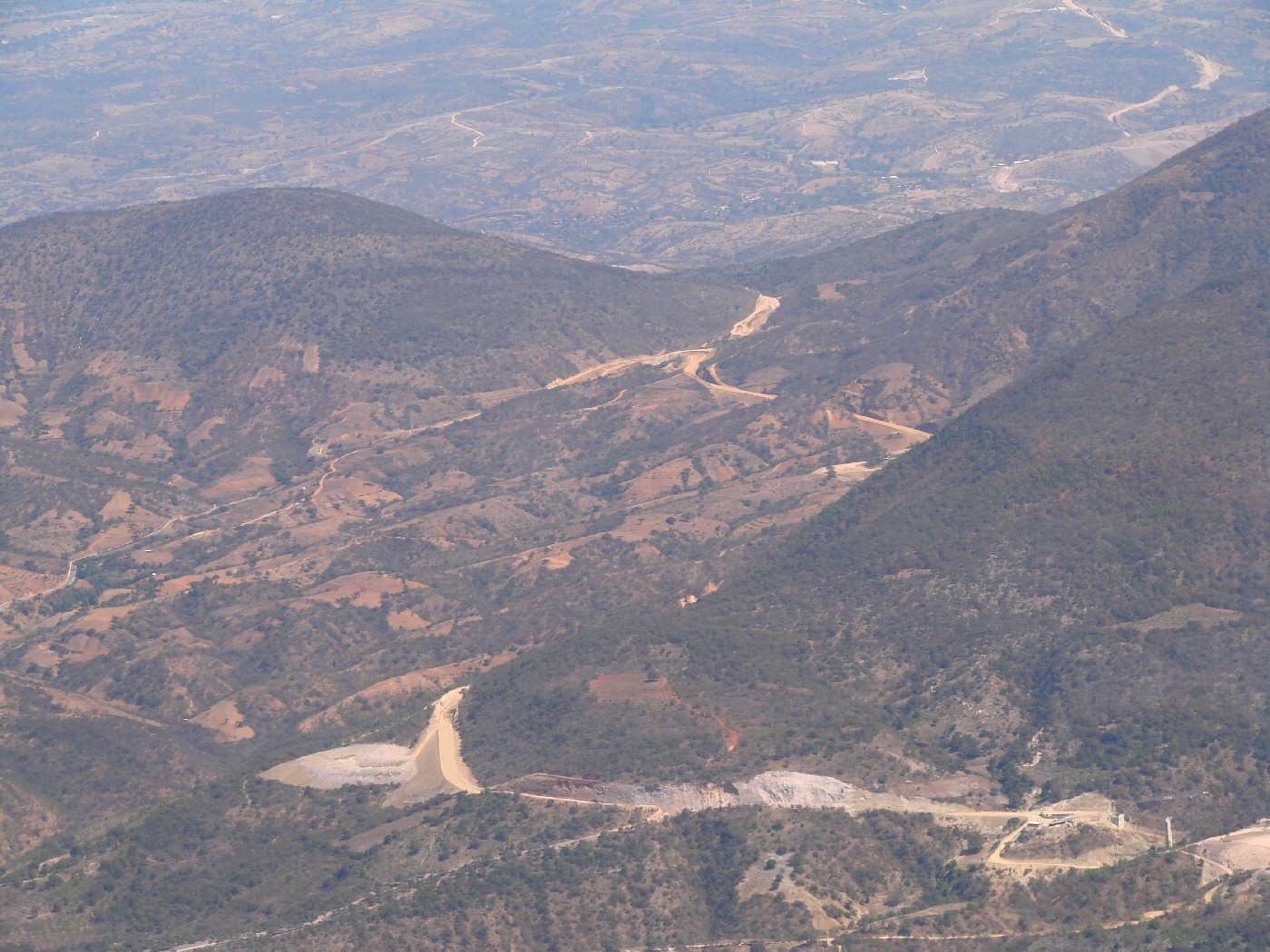
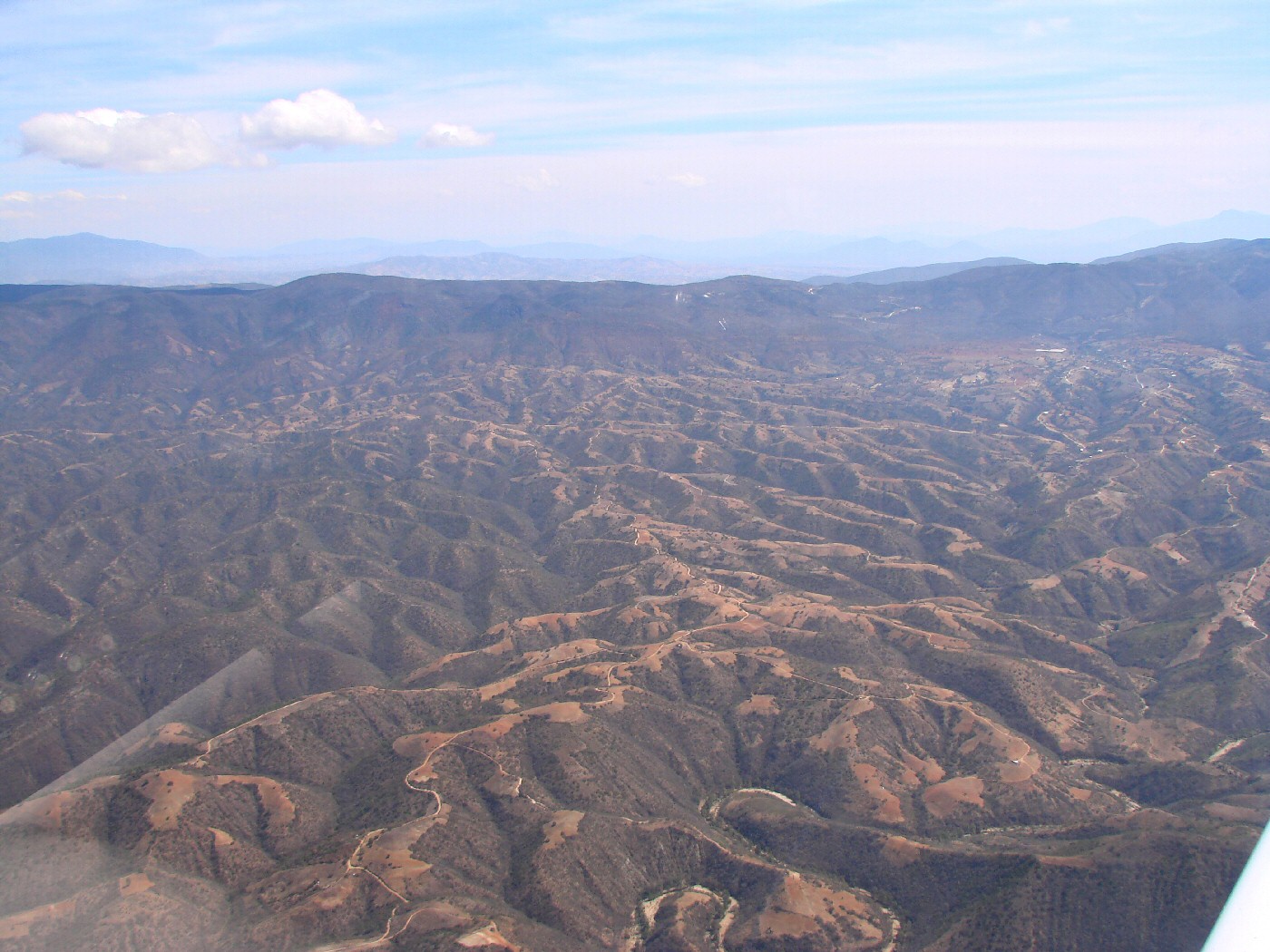
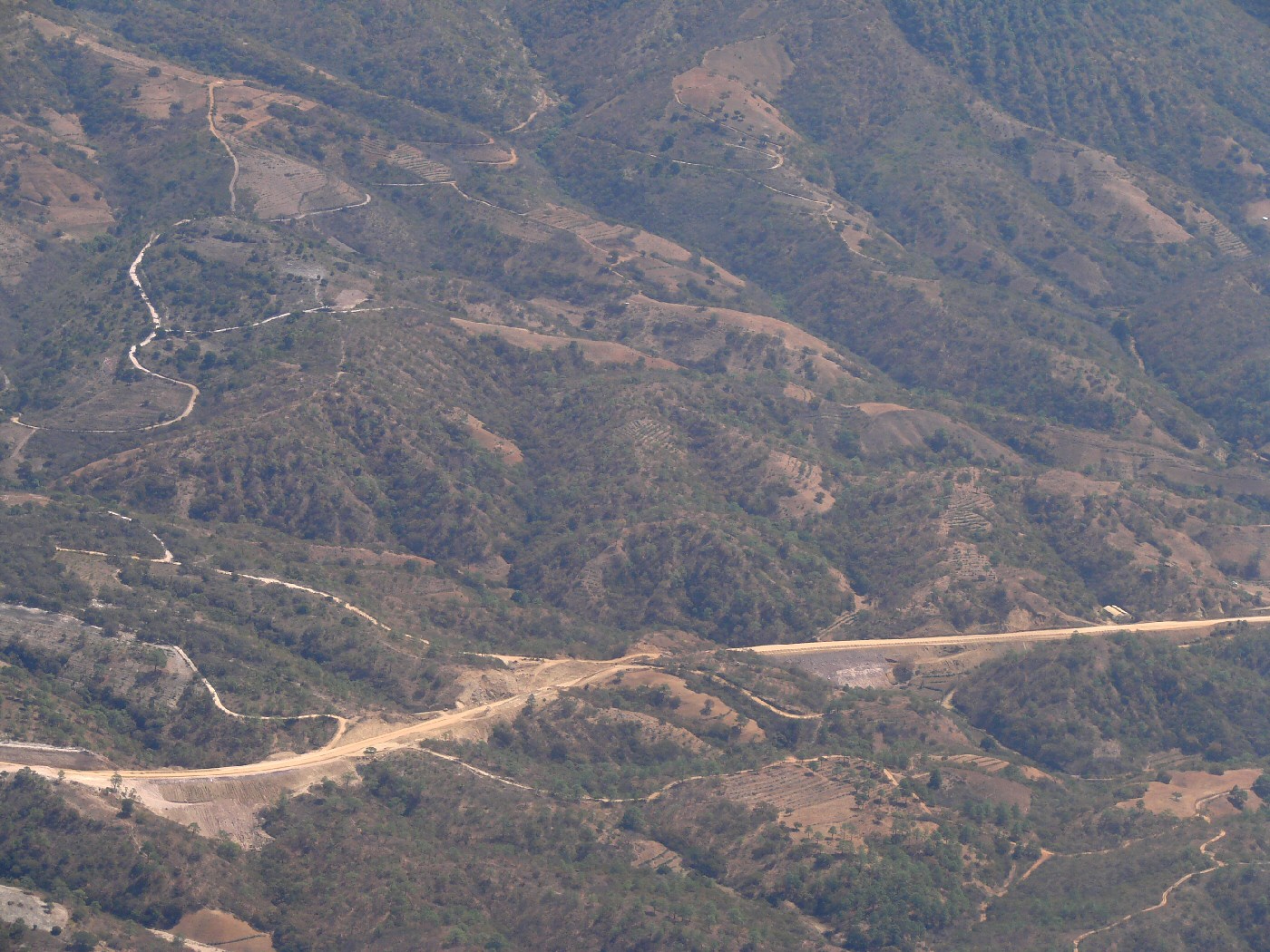
10 miles east of San Pedro Juchatengo   16.34,-96.865   Google Maps


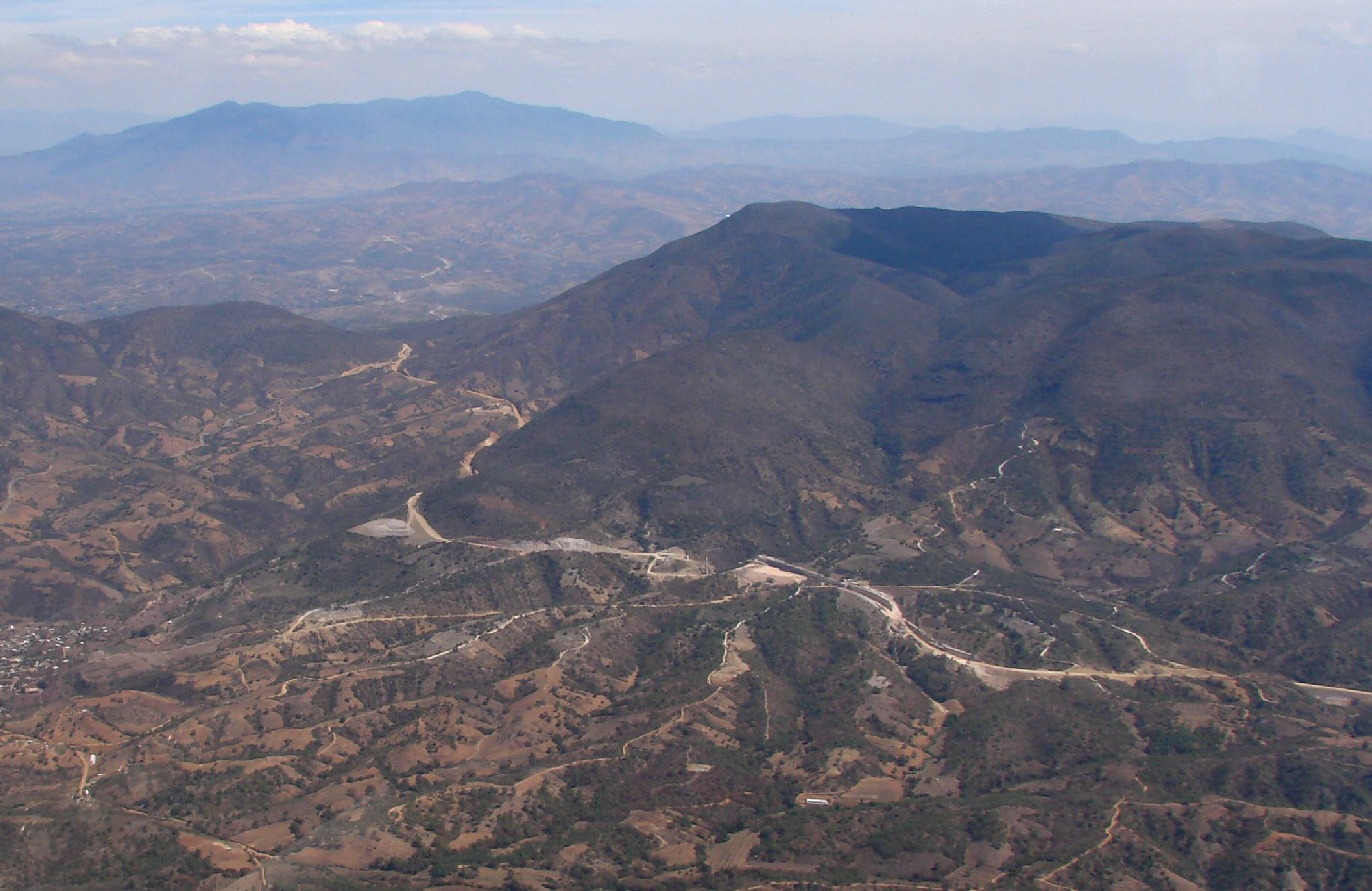
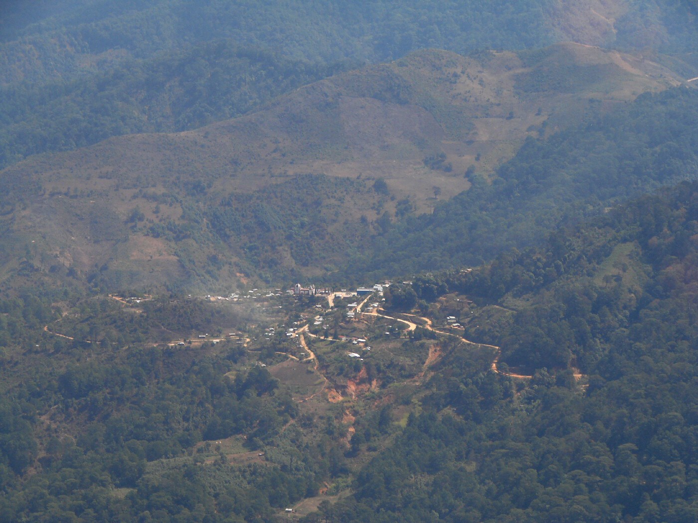
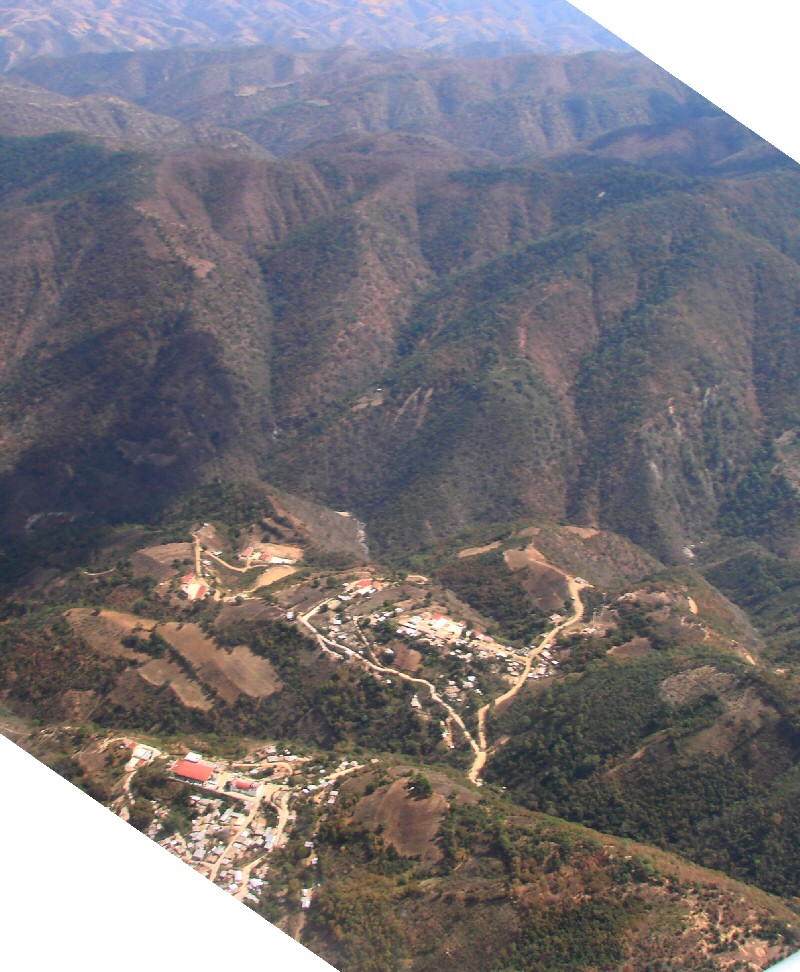
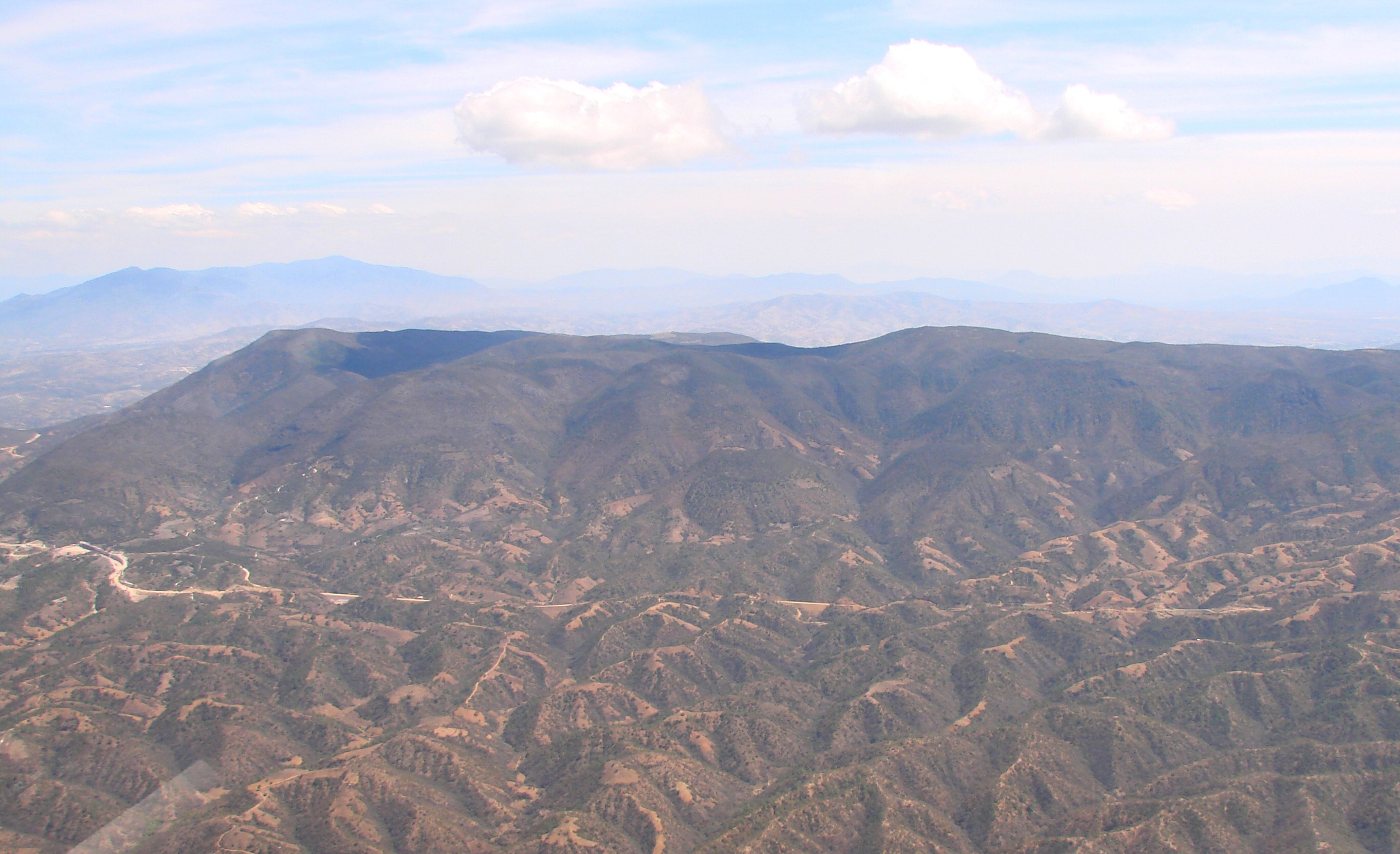
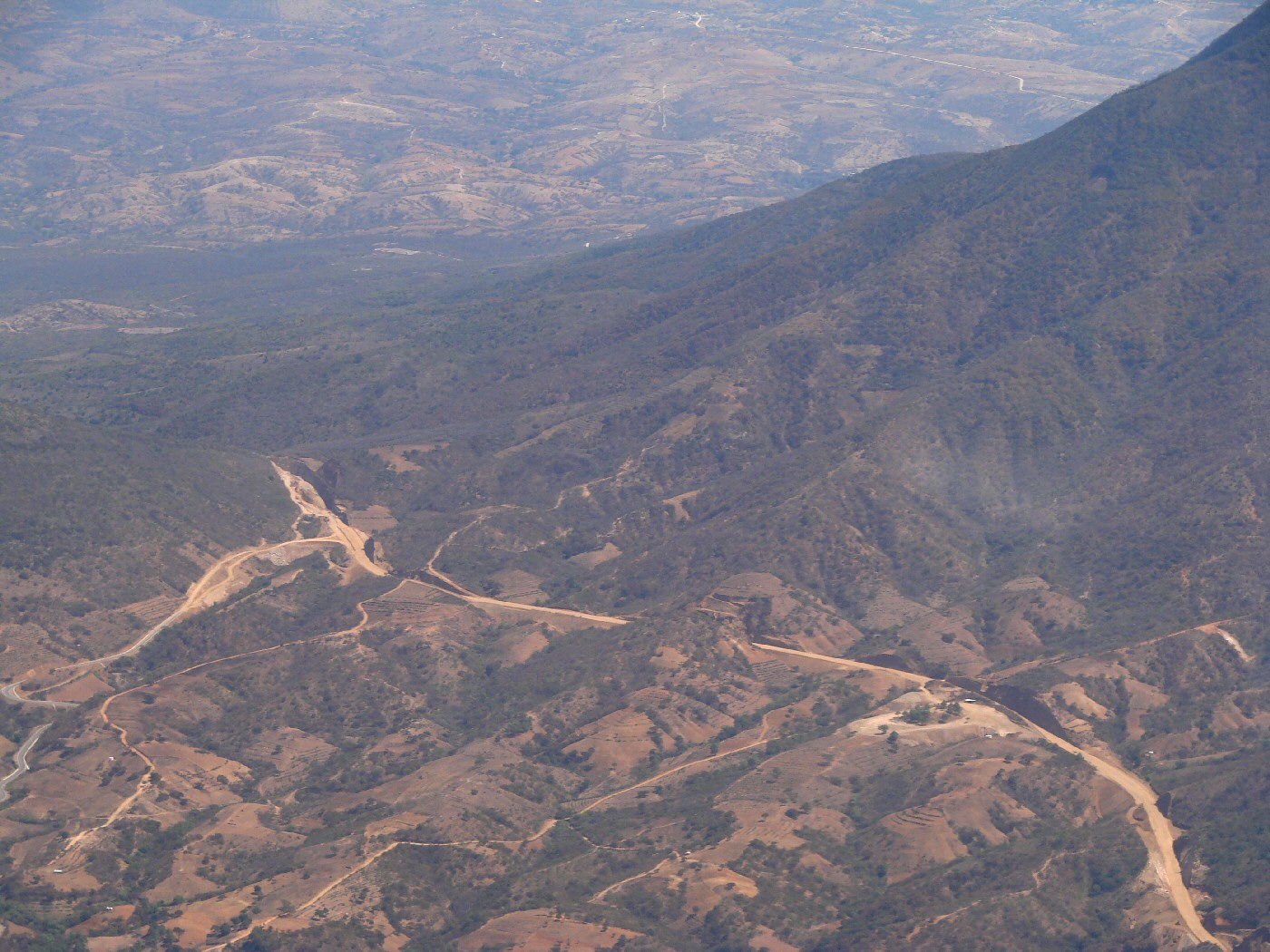
San Vicente Coatlán at left
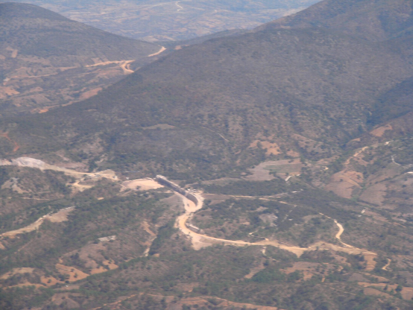
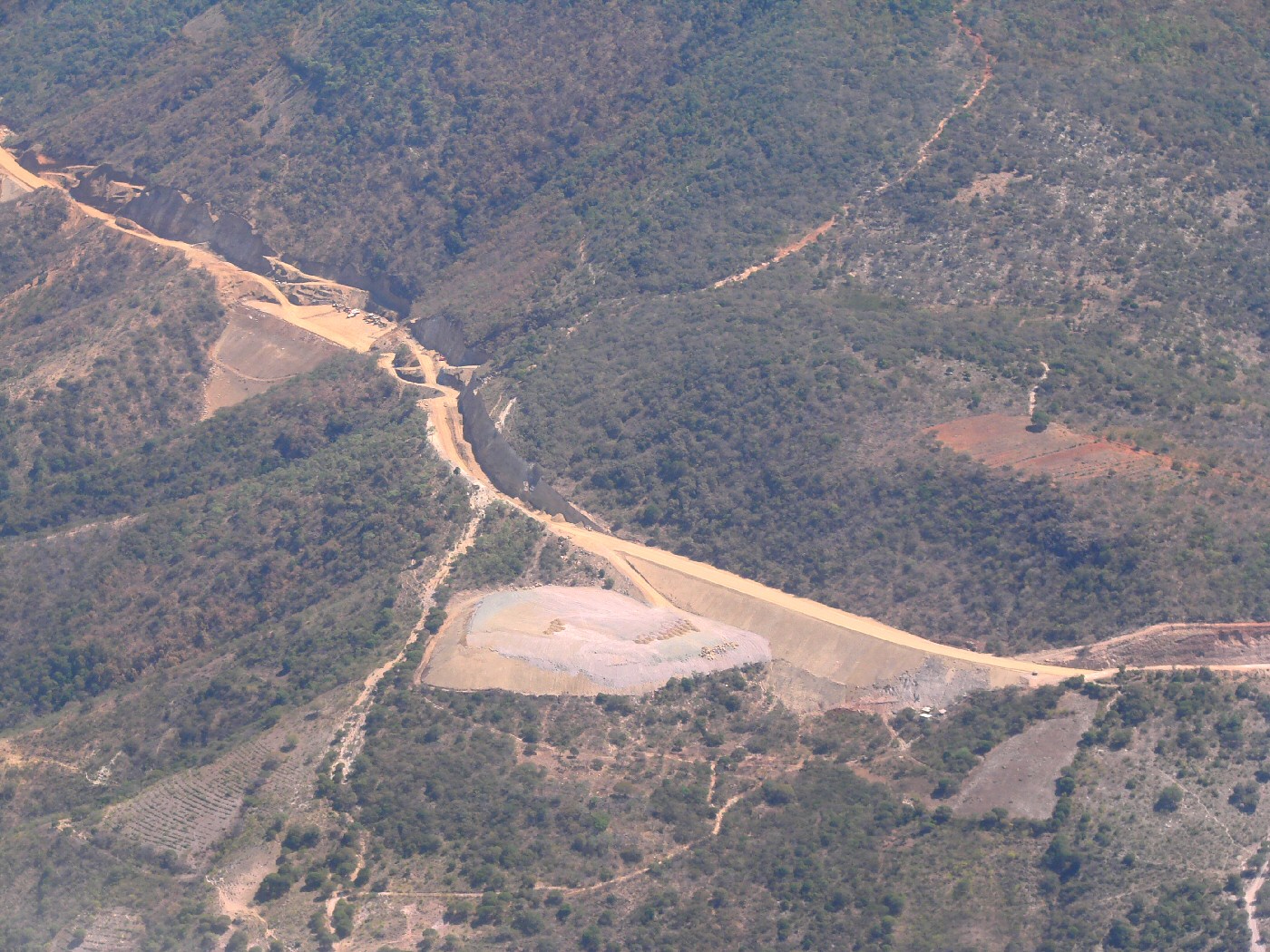

San Vicente Coatlán


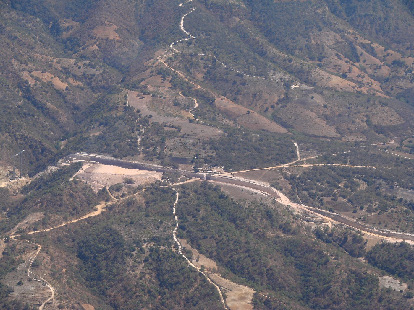
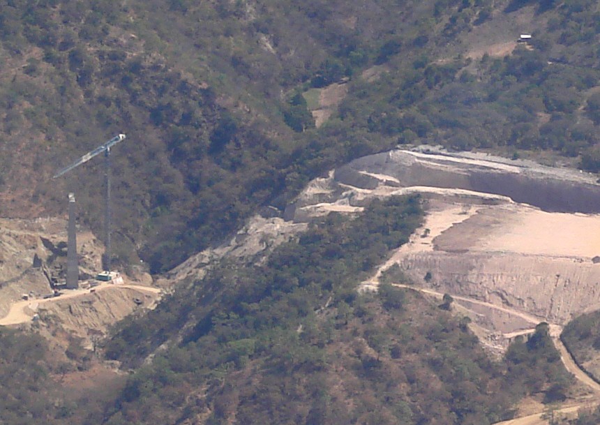
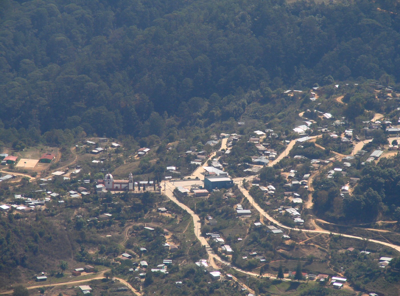
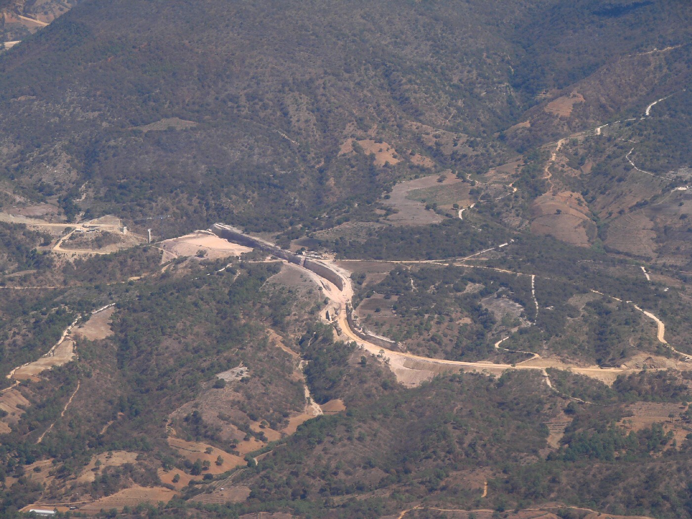
Detail from above photo
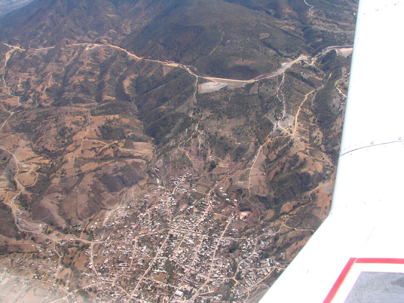
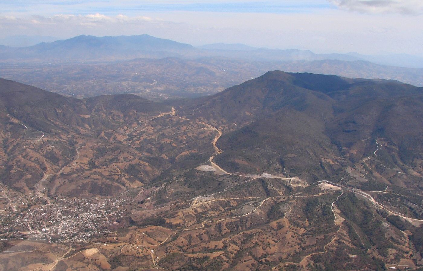

San Vicente Coatlán


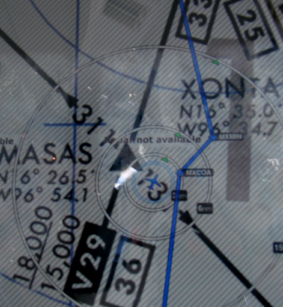
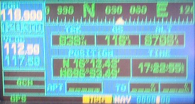
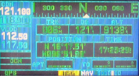
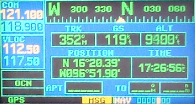
ForeFlight application on the iPad


San Vicente Coatlán   16.4,-96.849   Google Maps

< More Photos - Page 5 | More Photos - Page 6 | More Photos - Page 7 >


| Top of page | Main index | Search | What's new |
The Pacific Coast of Mexico www.tomzap.com Tom Penick:   tom@tomzap.com