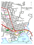
|
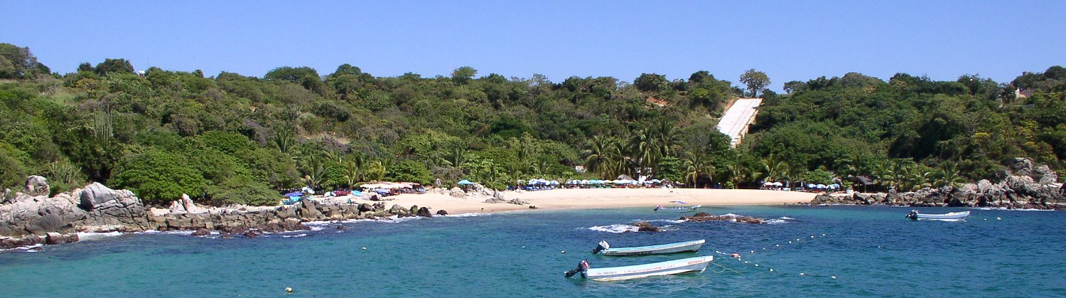
Playa Manzanillo is located west of the lighthouse and just east of Puerto Angelito, separated by a rocky outcrop. This rocky outcrop is seen on the left in the photo above and has a pathway that leads the short distance to Puerto Angelito, just out of view in this photo. Playa Manzanillo is a good place for snorkeling and swimming. Have a look at some photos that I took while snorkeling between the offshore rocks in the center of the photo above and the rocks on the left side of the photo. It is a large photo, you may need to scroll horizontally to see it all. Watch out for the boats that come and go to Puerto Angelito.
|
Nearby accommodations include: |