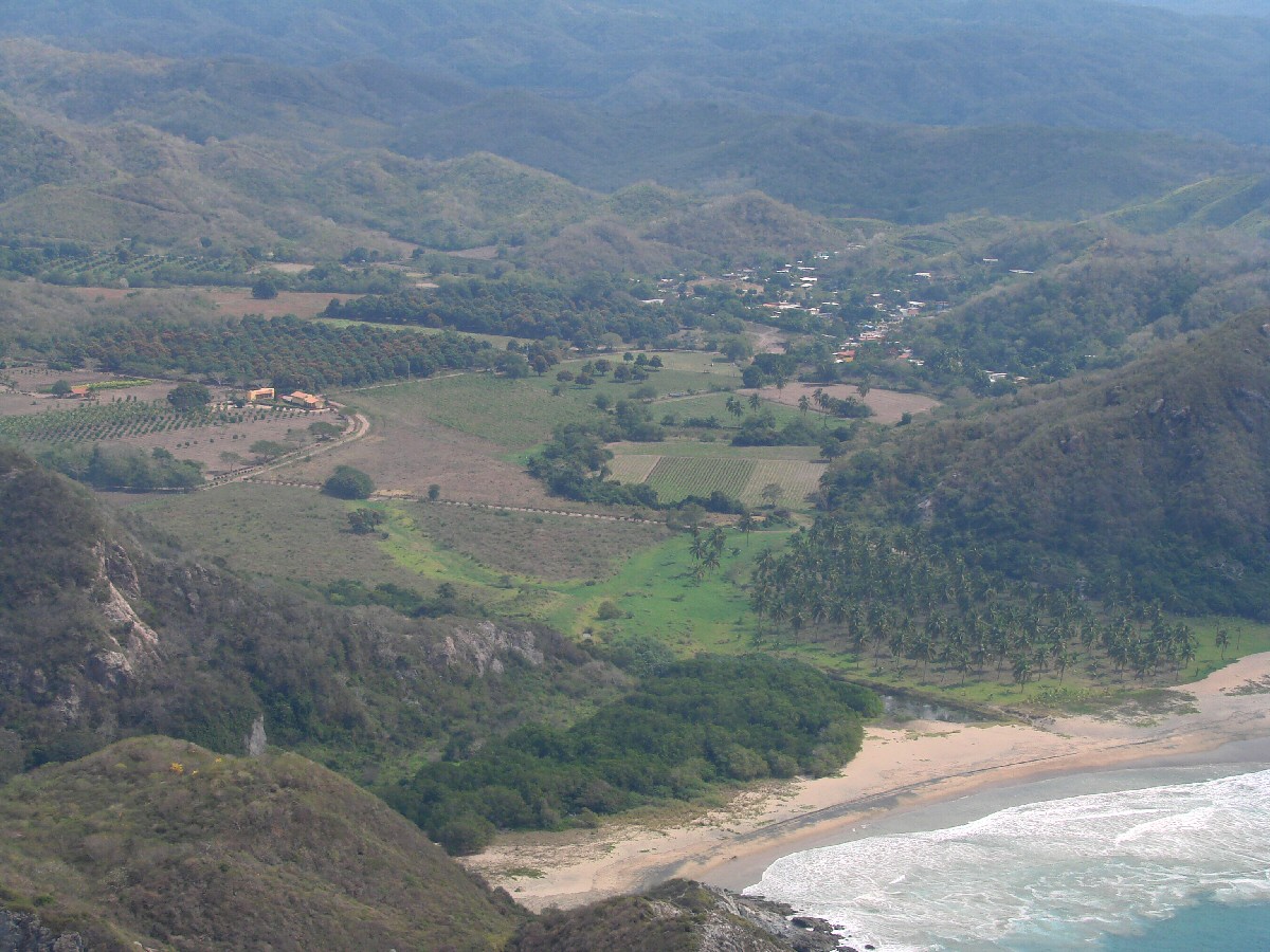
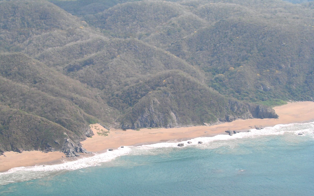
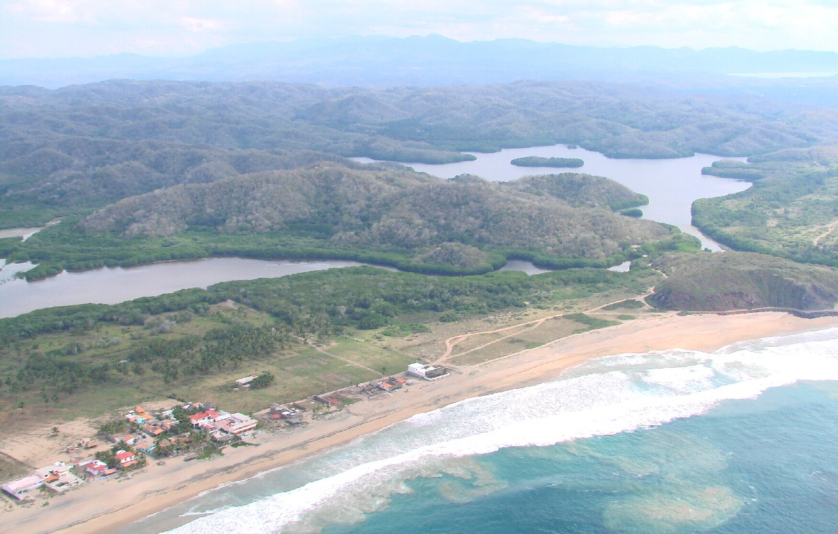
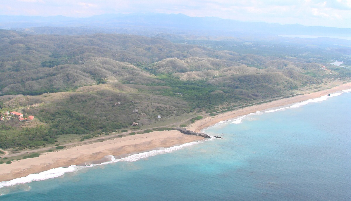
Coastline northwest of Tecuán
|
Coastline northwest of Tecuán
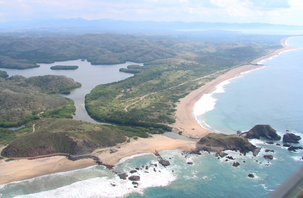
Beach and farm northwest of Tecuán
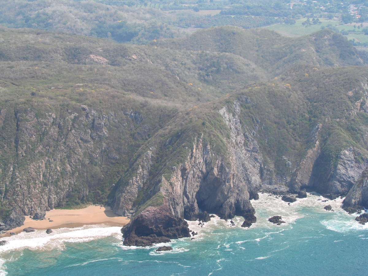
Arroyo Seco in background
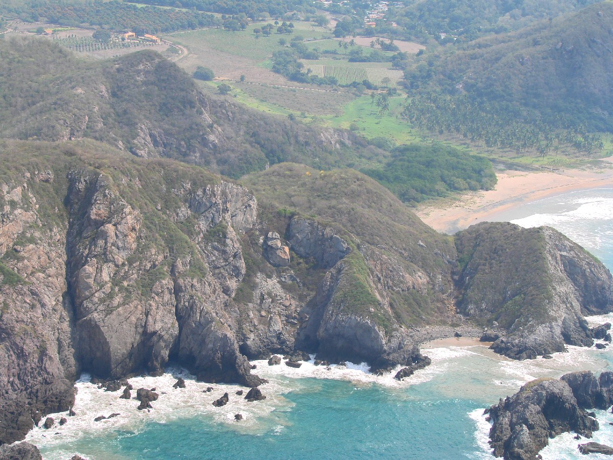
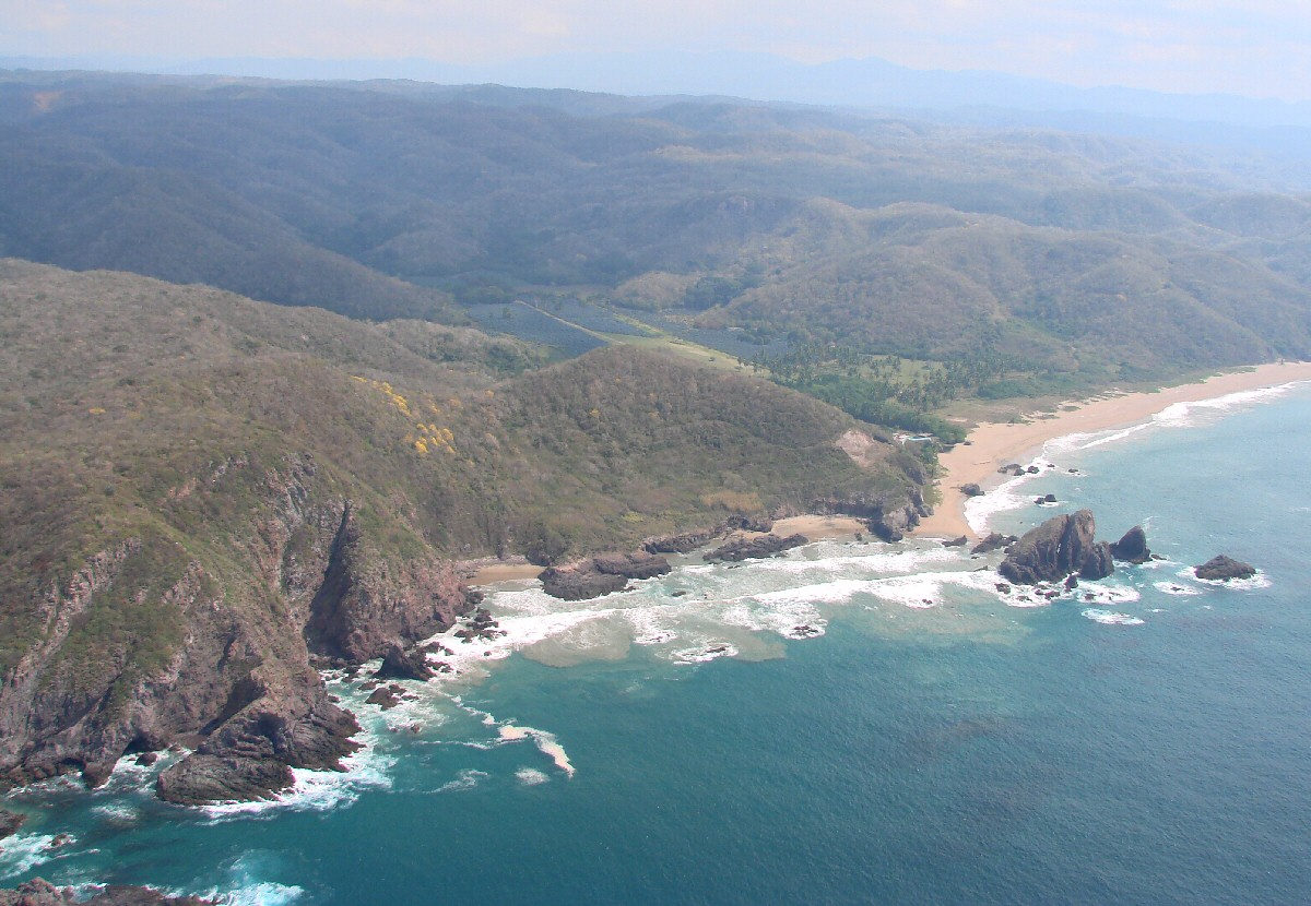
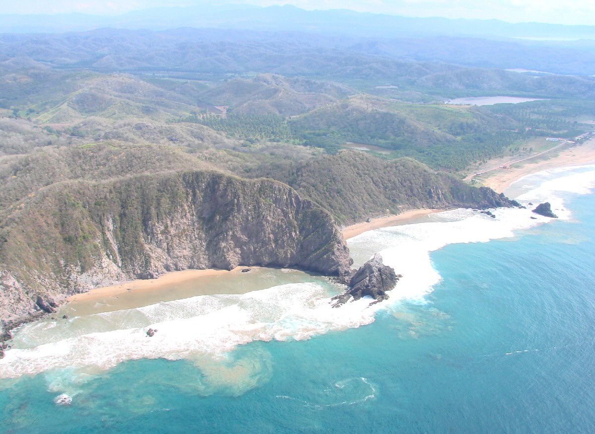
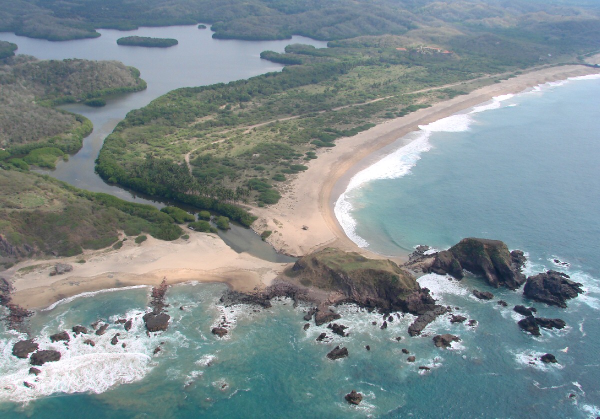
Playa las Brisas comes into view. Note swirling water at lower left.
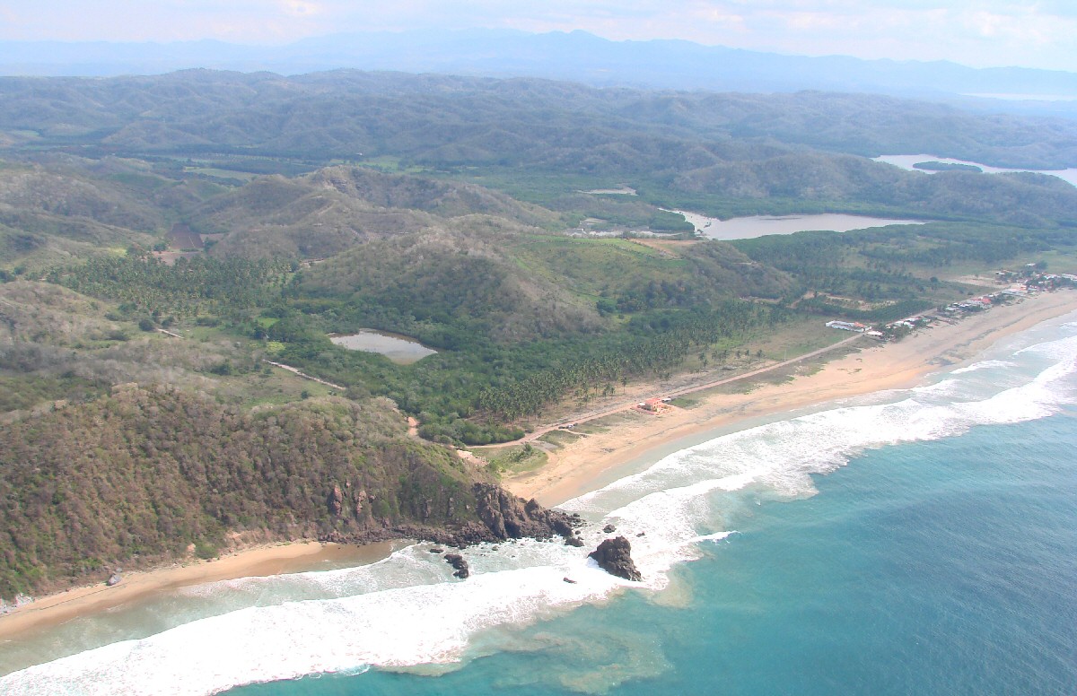 Playa las Brisas. According to one viewer, "The reason it is called Playa Las Brisas is fairly consistently every morning there is an offshore breeze then about midday it switches to a north northwest stronger breeze 8-10-15 knots on most afternoons makes for a most pleasant (almost totally bug free) micro climate daily. Also somehow because of the positioning and exposure to ocean swell this beach has the most consistent surf in the area." |
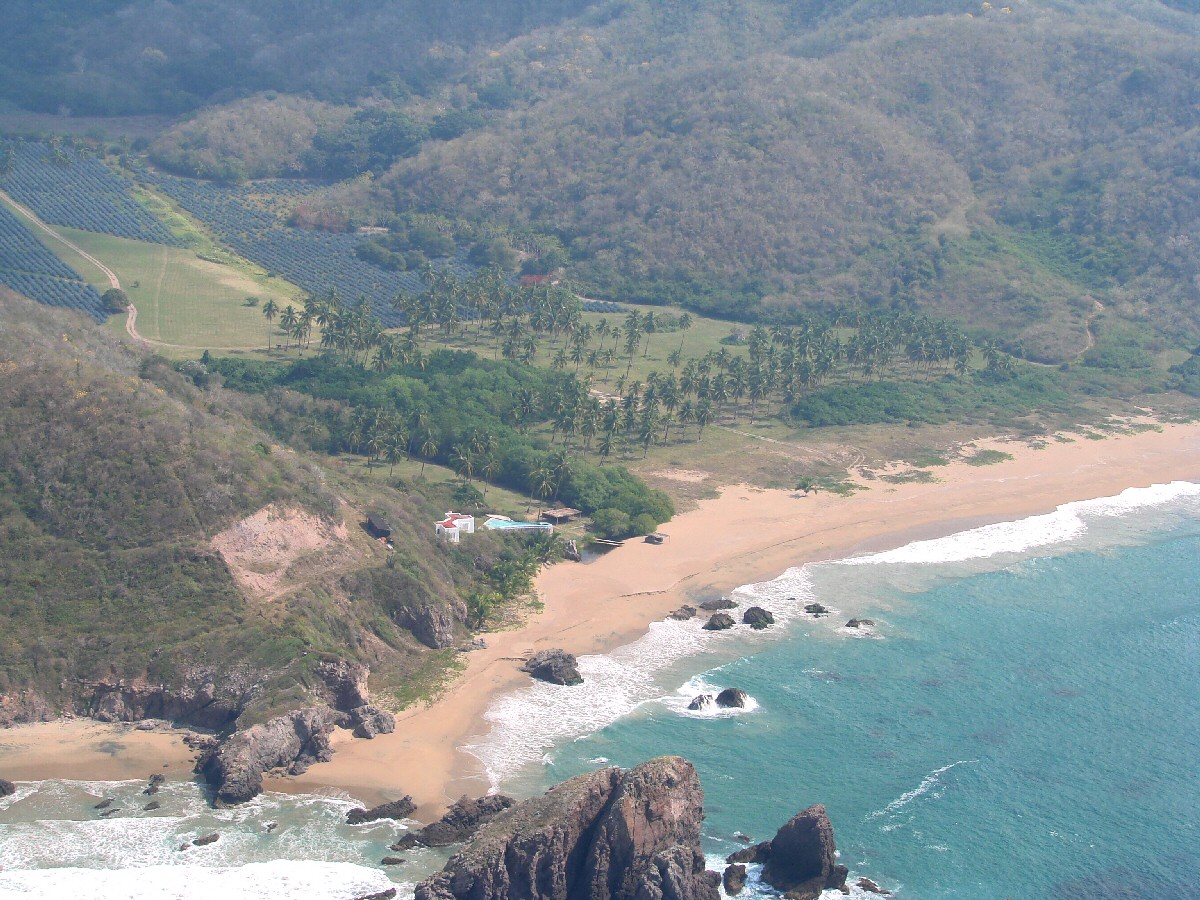
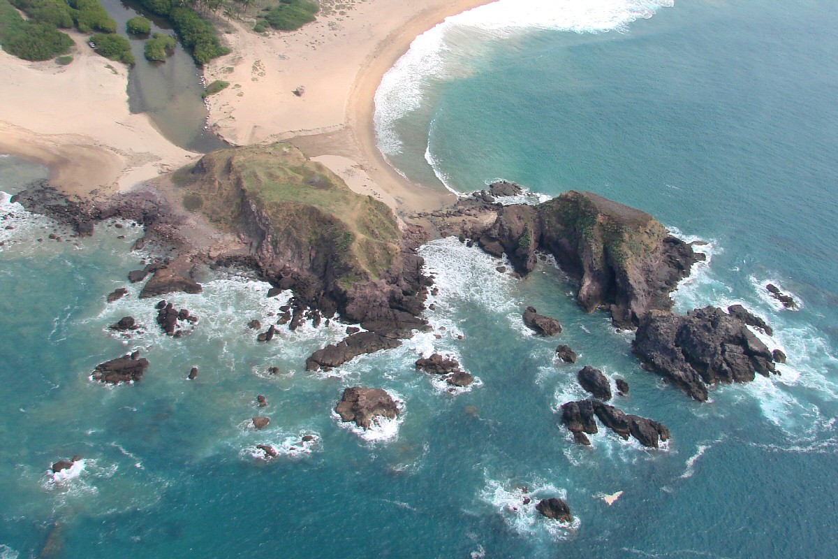
A closer look
Playa las Brisas.
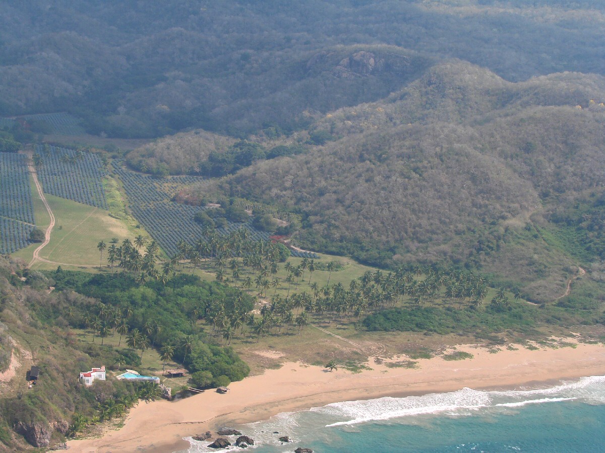
A closer look
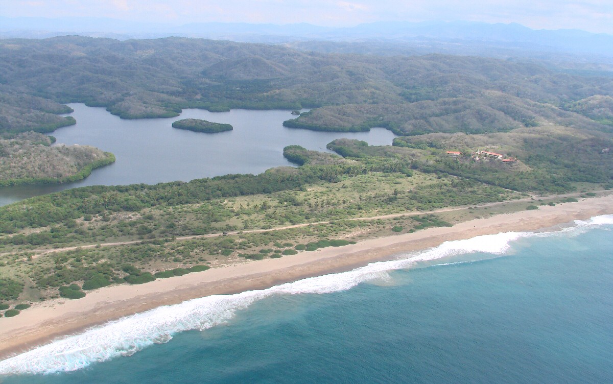
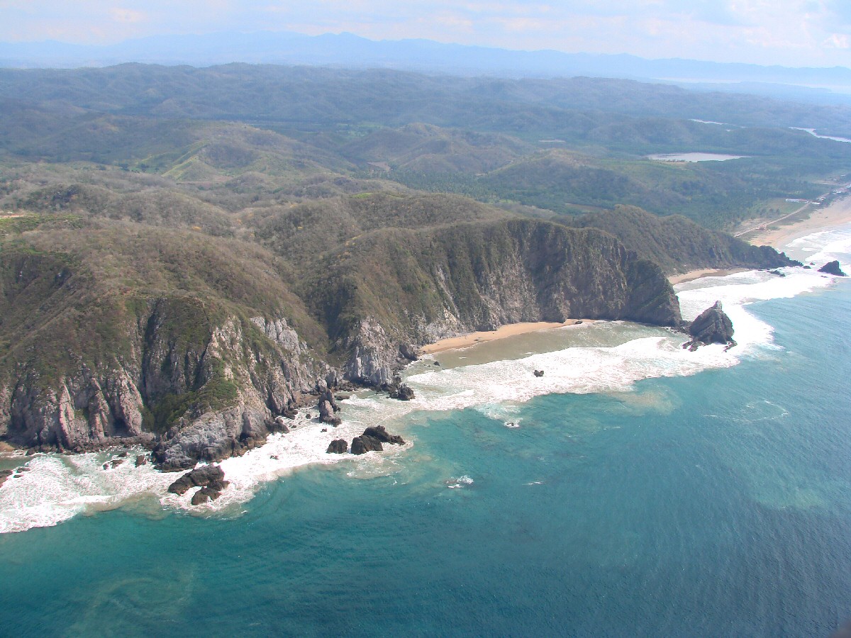
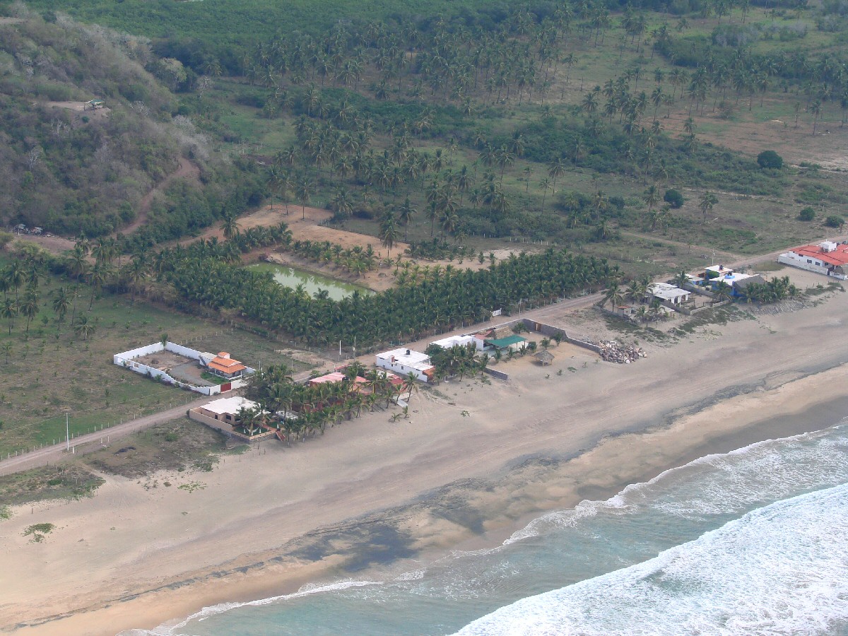
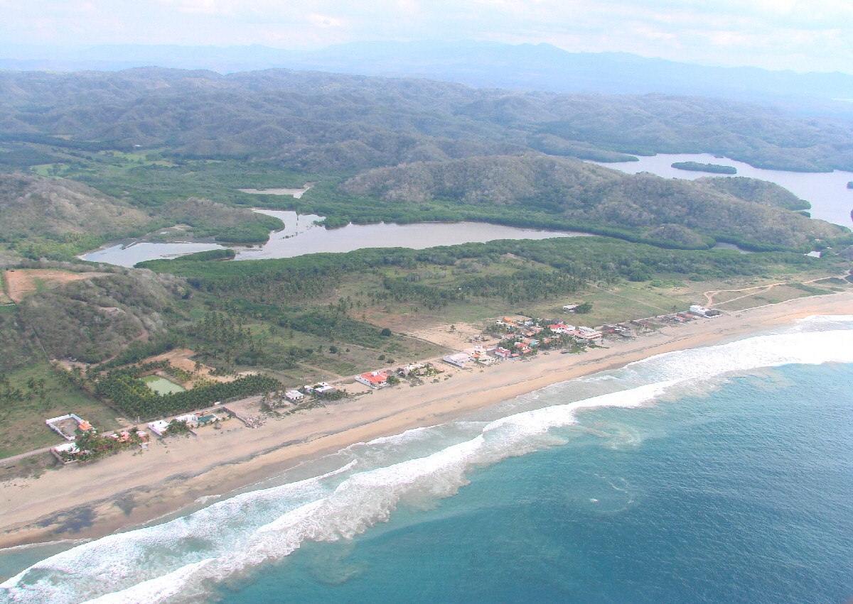
Playa Tecuán and Hotel Tecuán
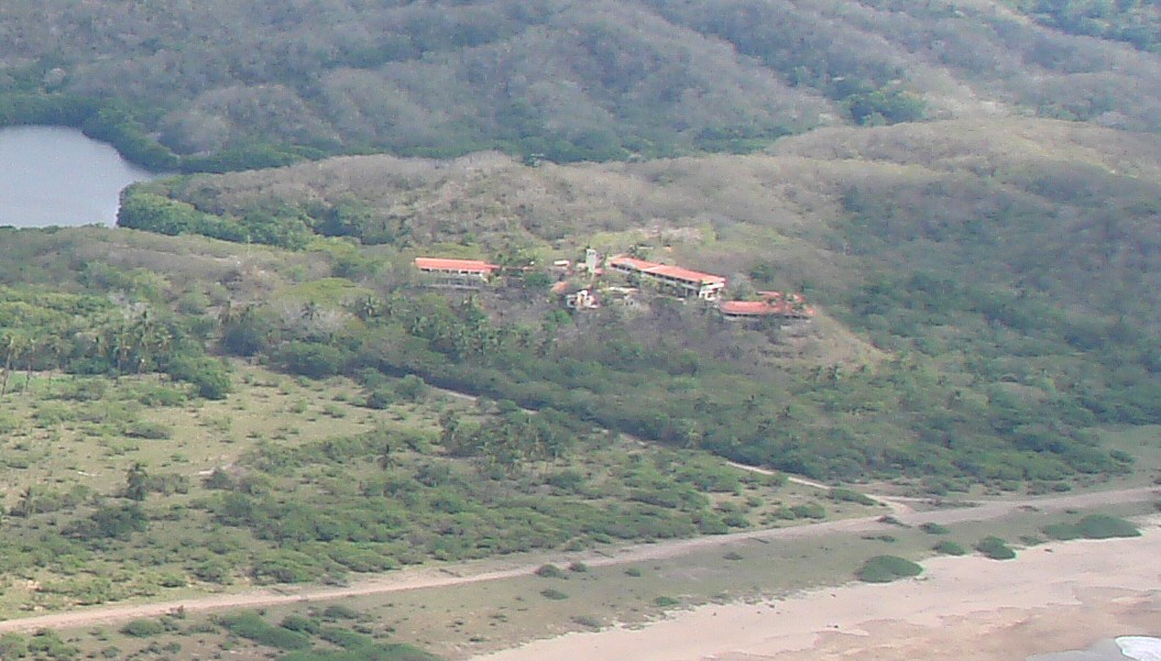
A closer look
Playa Tecuán