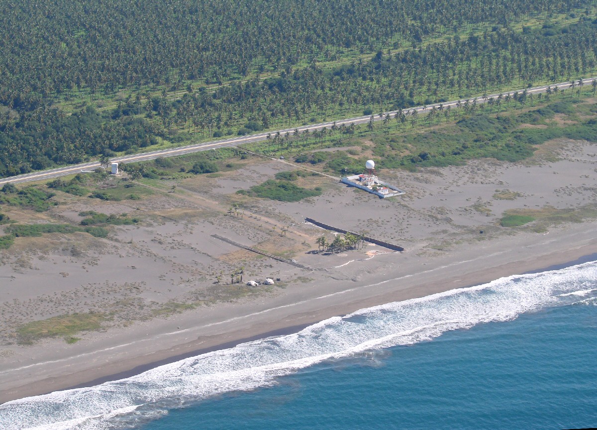
Just east of the power plant water intake
|
Just east of the power plant water intake
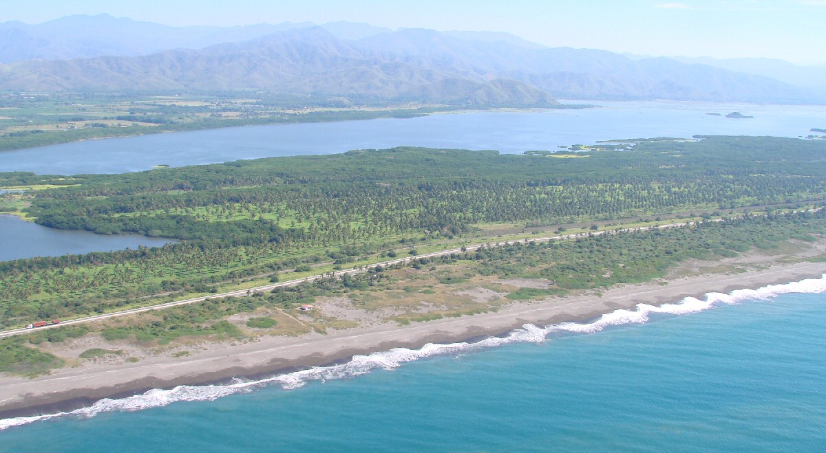
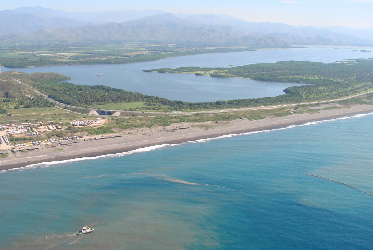
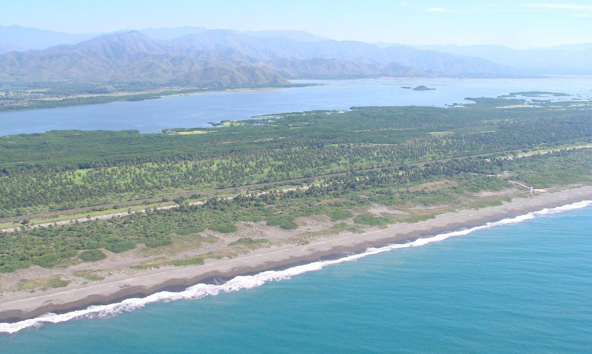
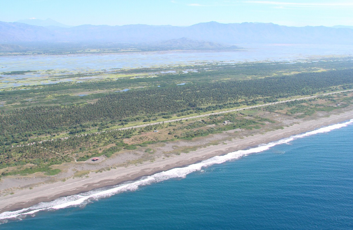
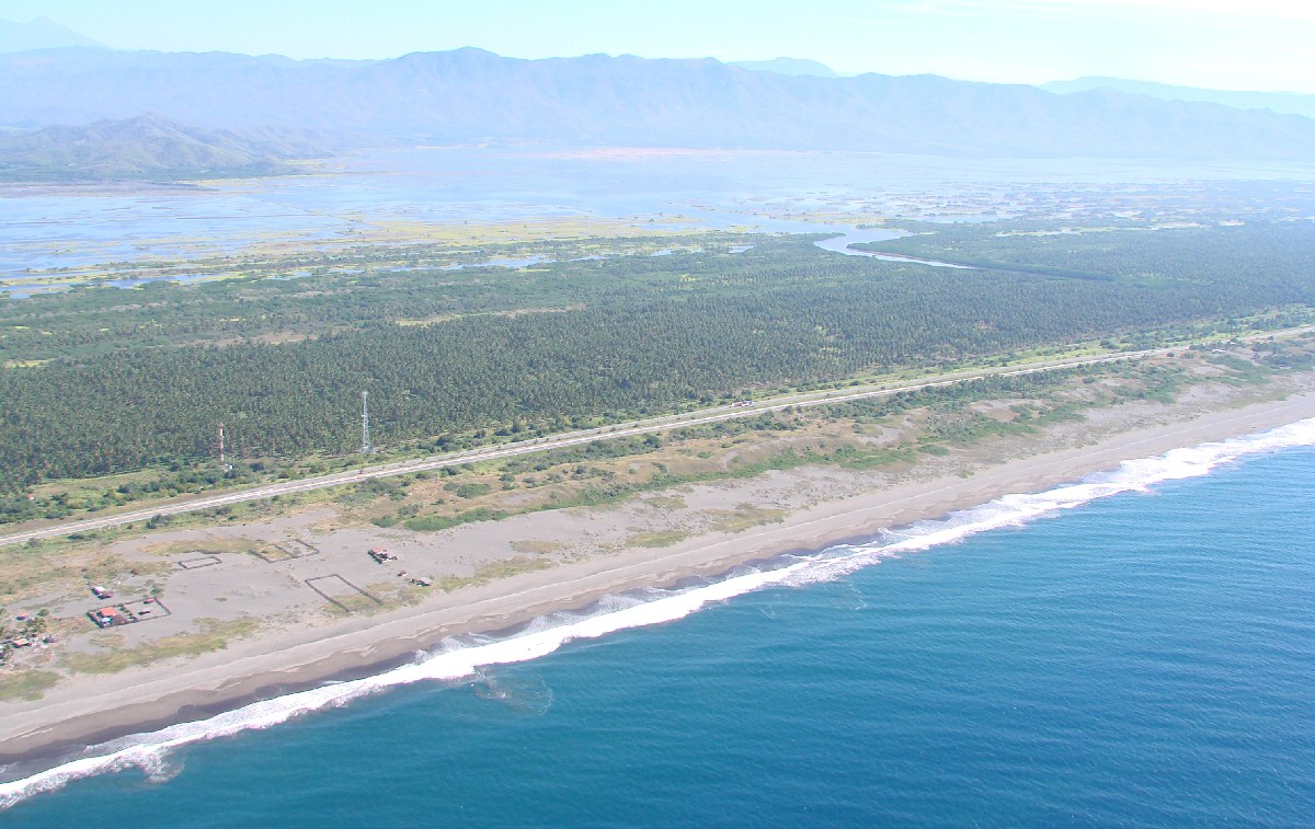
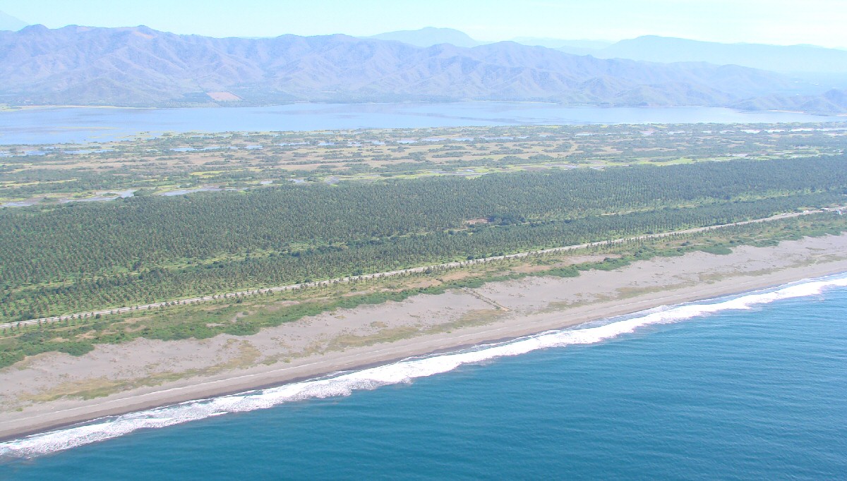
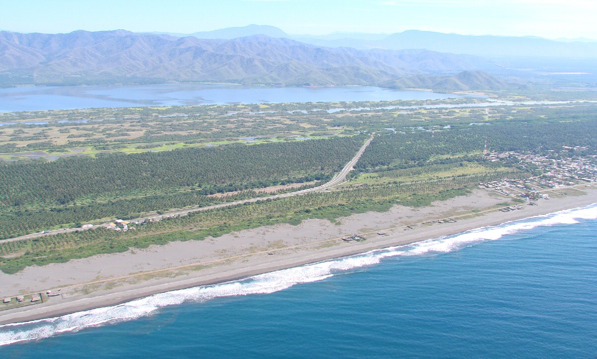
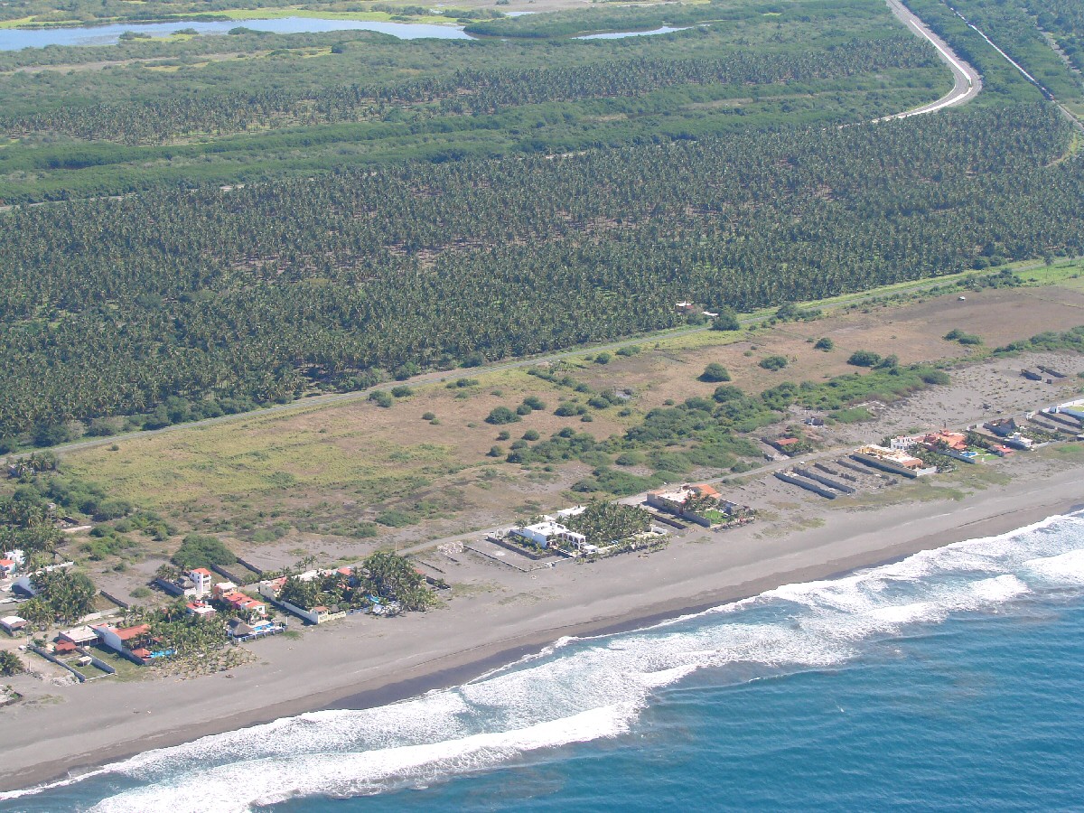
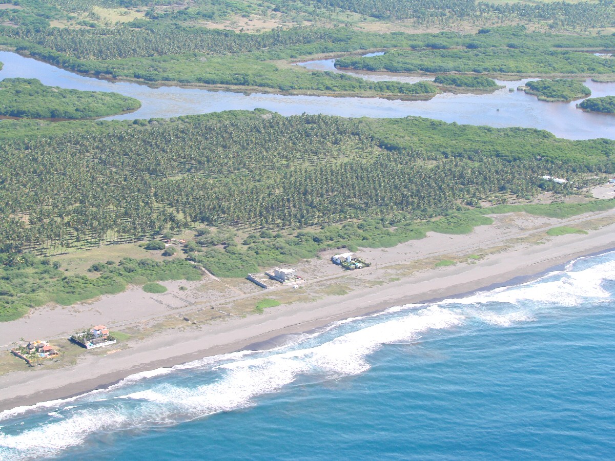
Laguna Cuyutlán in background. Hwy 200 and the railroad and Playa Cuyutlán run straight and parallel for some 10 miles to Cuyutlán
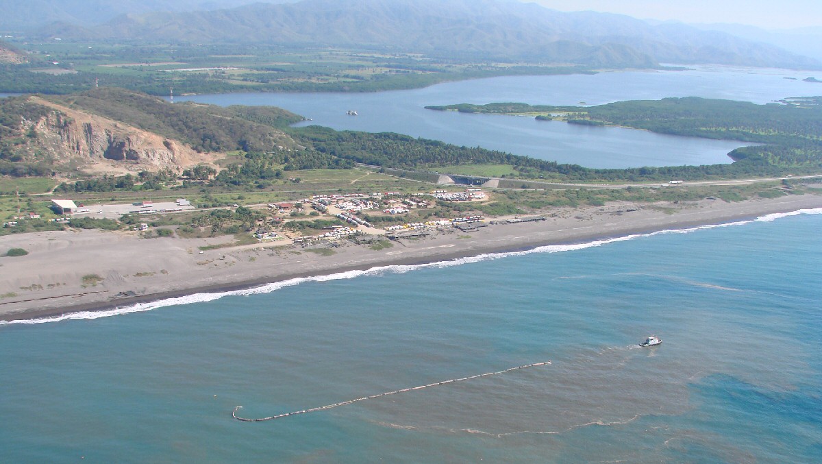
Laguna Cuyutlán
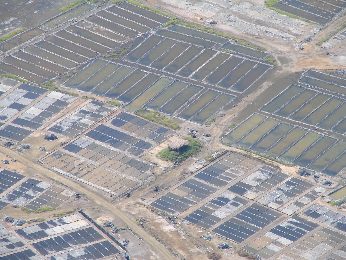
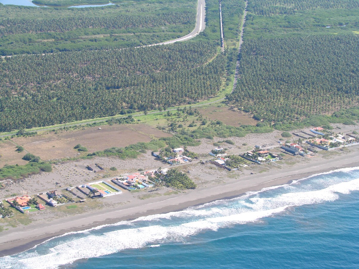
Drying beds for Cuyutlán salt production.
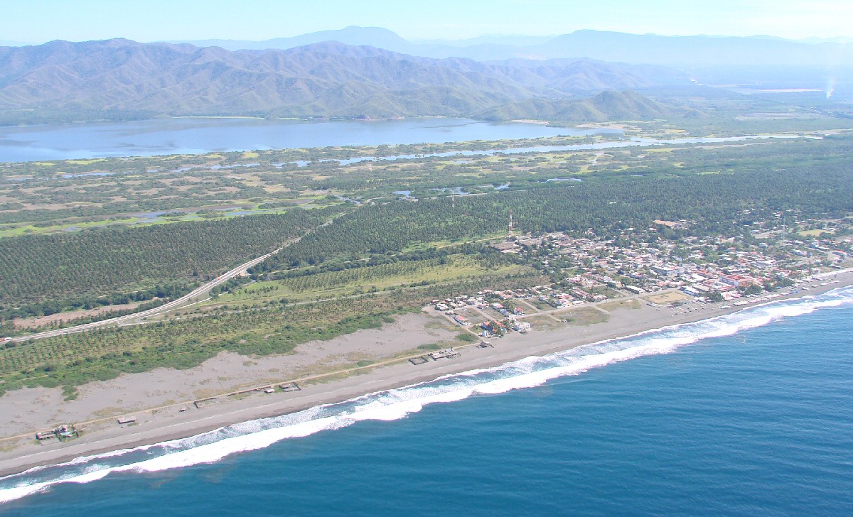
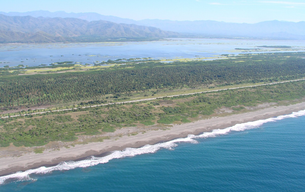
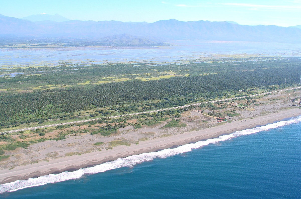
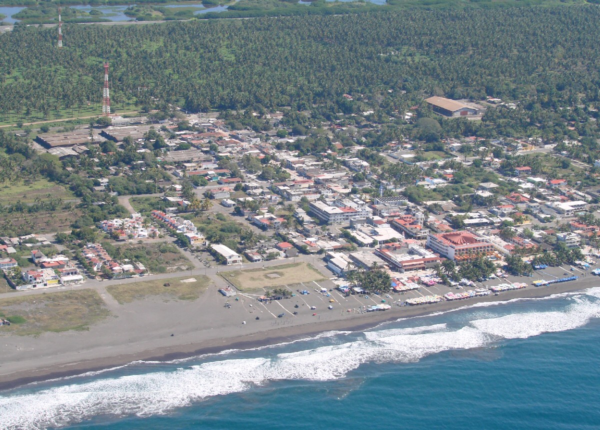
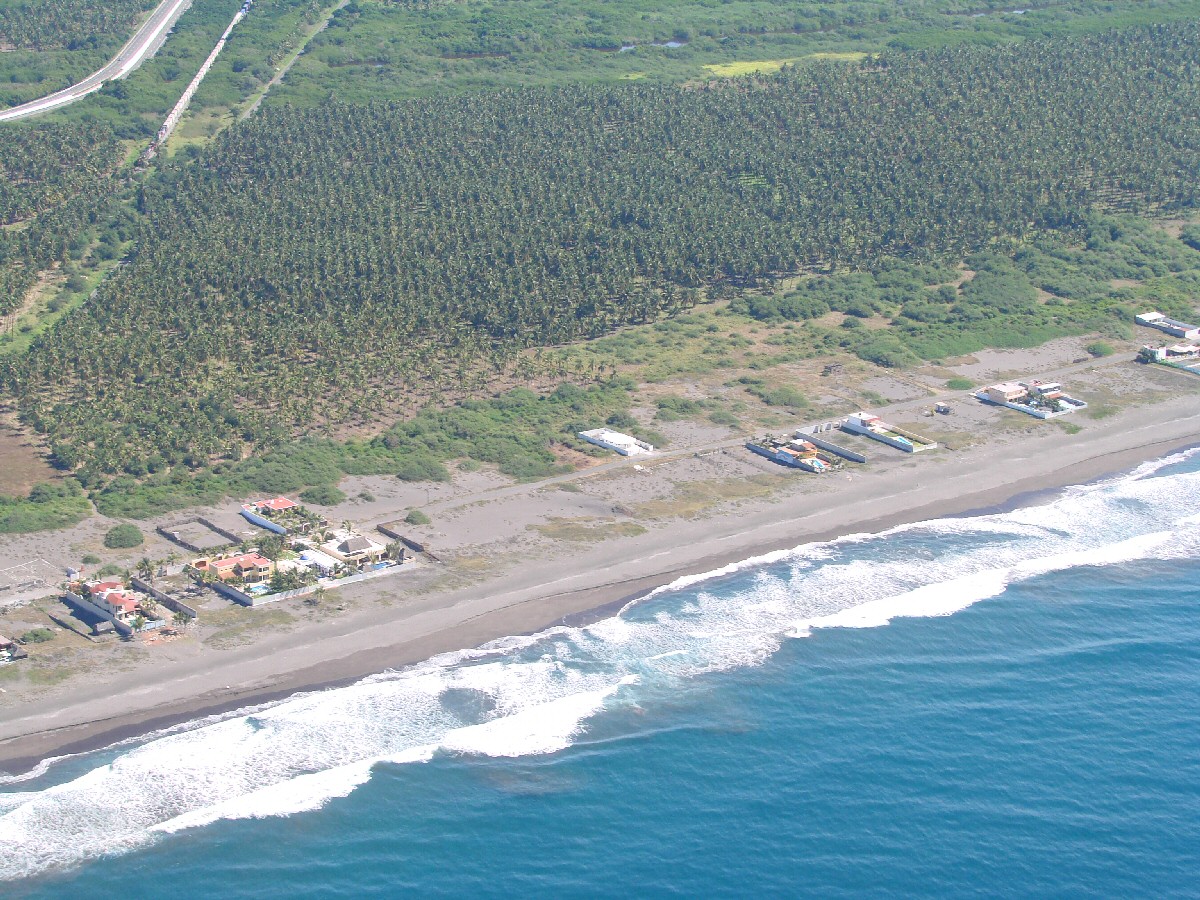
The town of Cuyutlán comes into view. Laguna Cuyutlán in background.
Cuyutlán
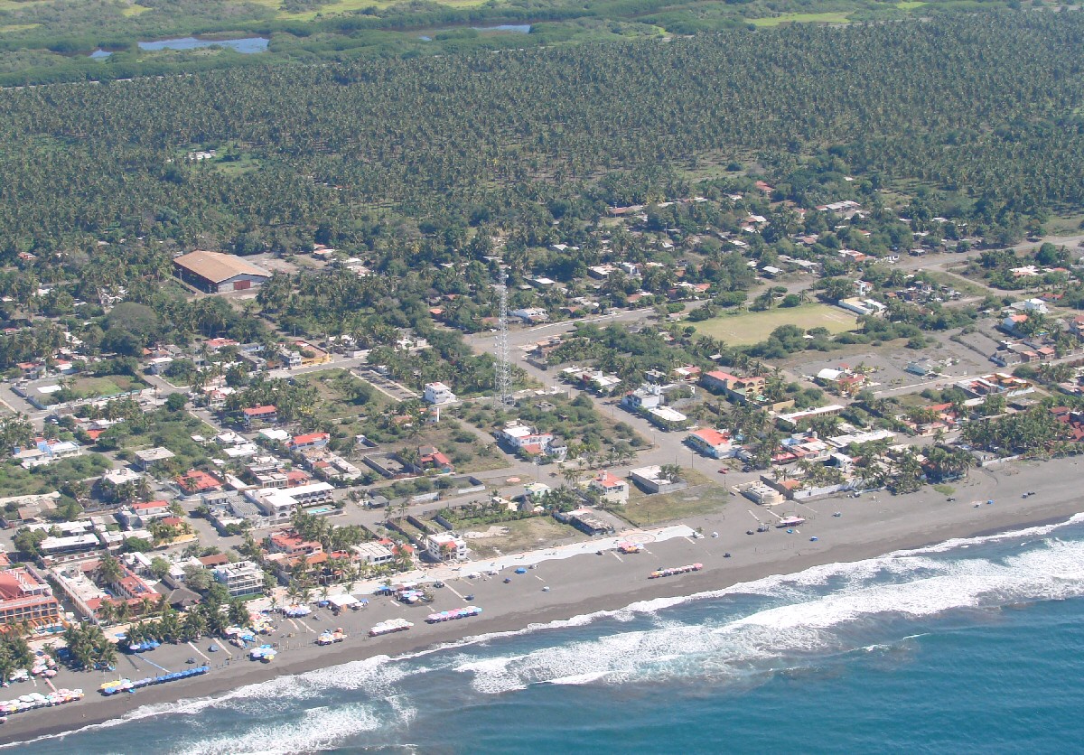
Cuyutlán
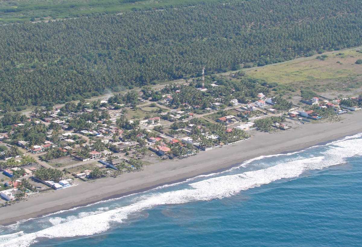
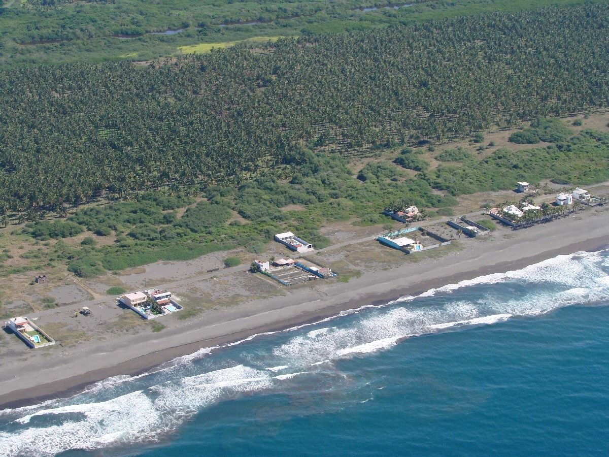
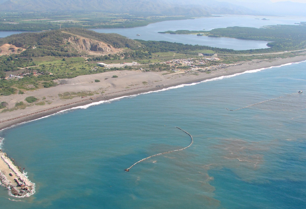
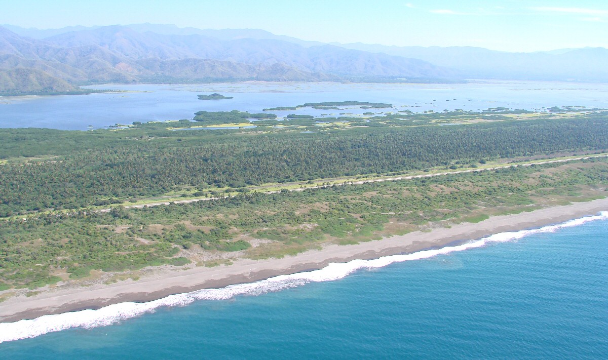
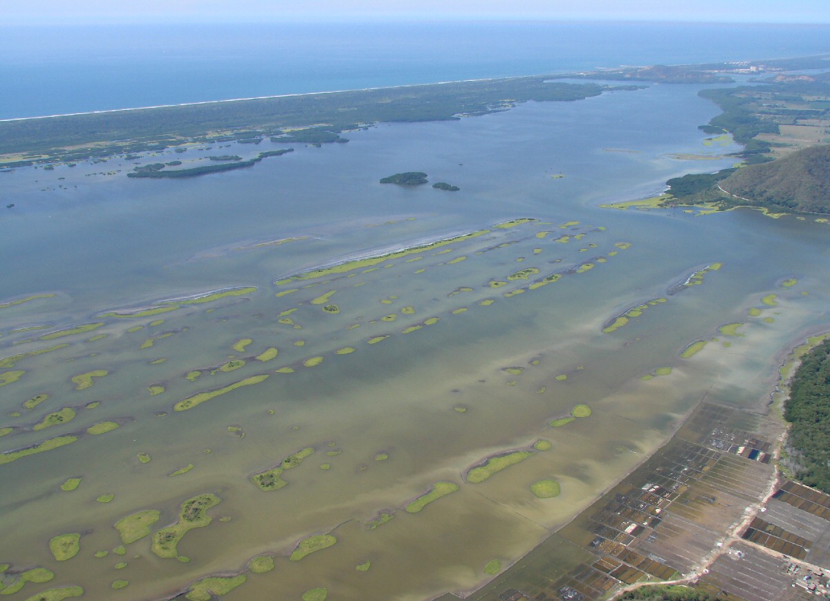
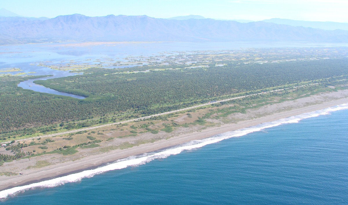
Estero Palo Verde in background