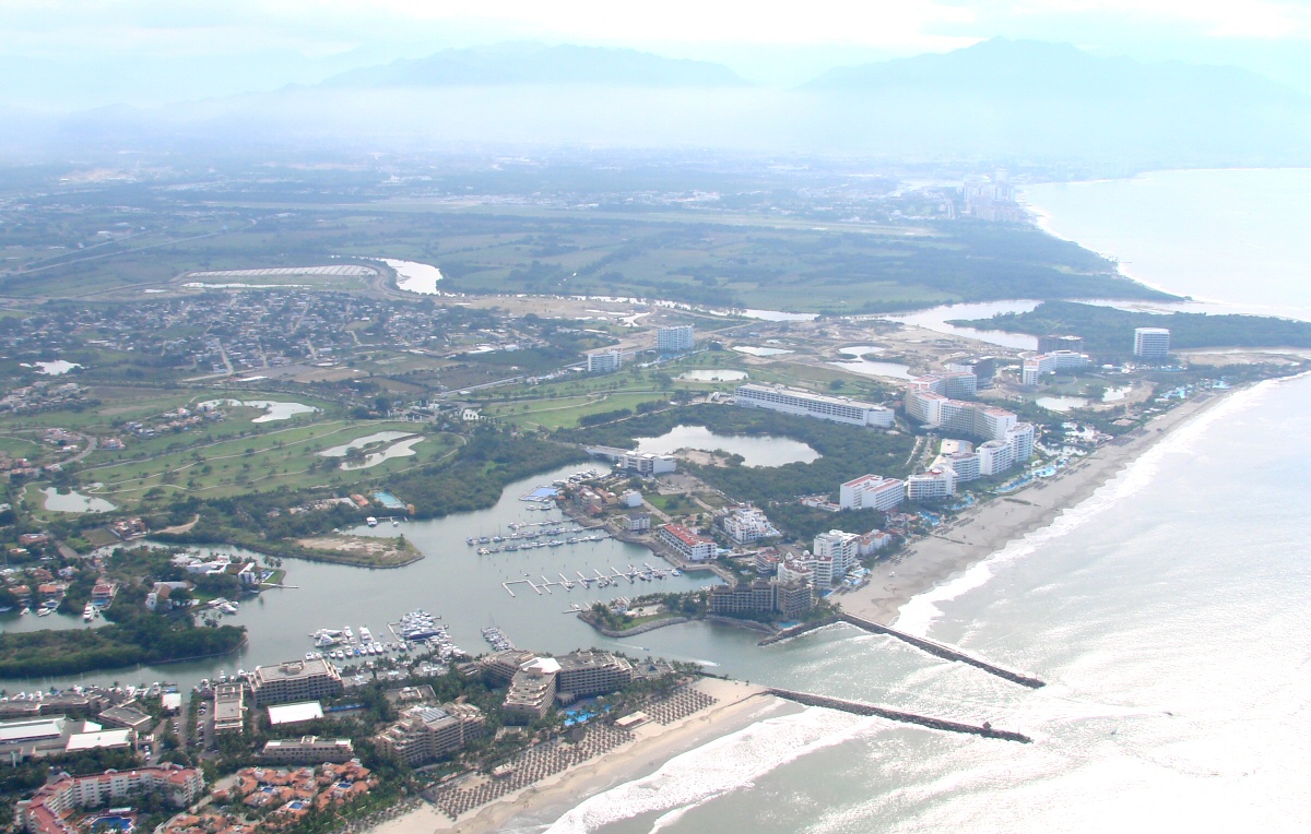
Jalisco western border with Puerto Vallarta airport in the background
|
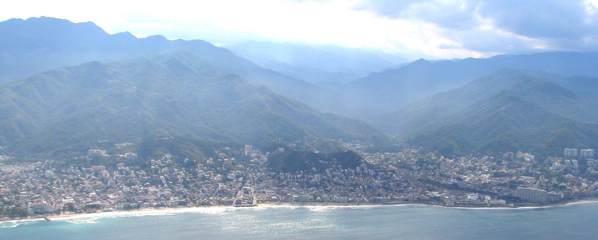
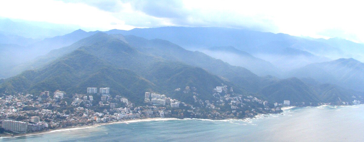
The photos are rather hazy due to the amount of moisture in the air.
Jalisco western border with Puerto Vallarta airport in the background
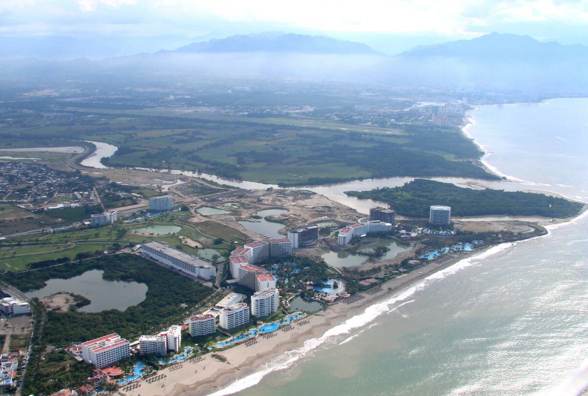
A bit closer
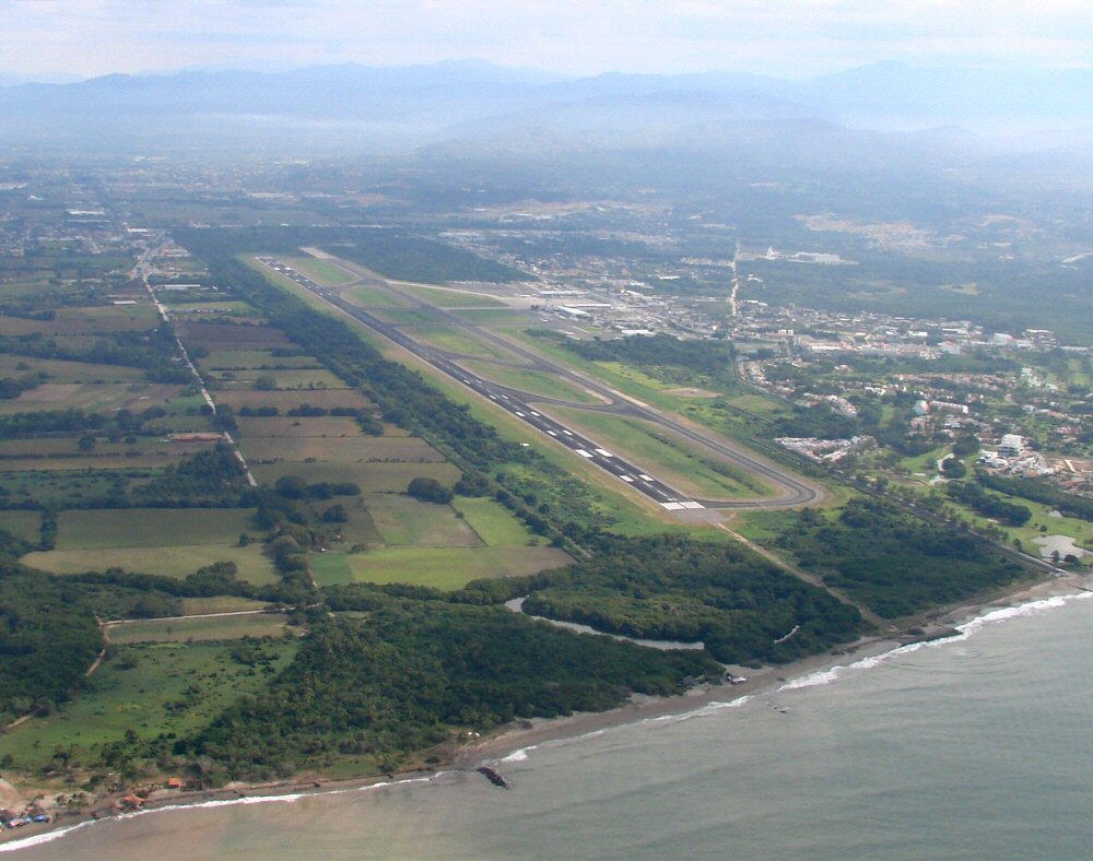
Puerto Vallarta International Airport (PVR)
Puerto Vallarta coastline
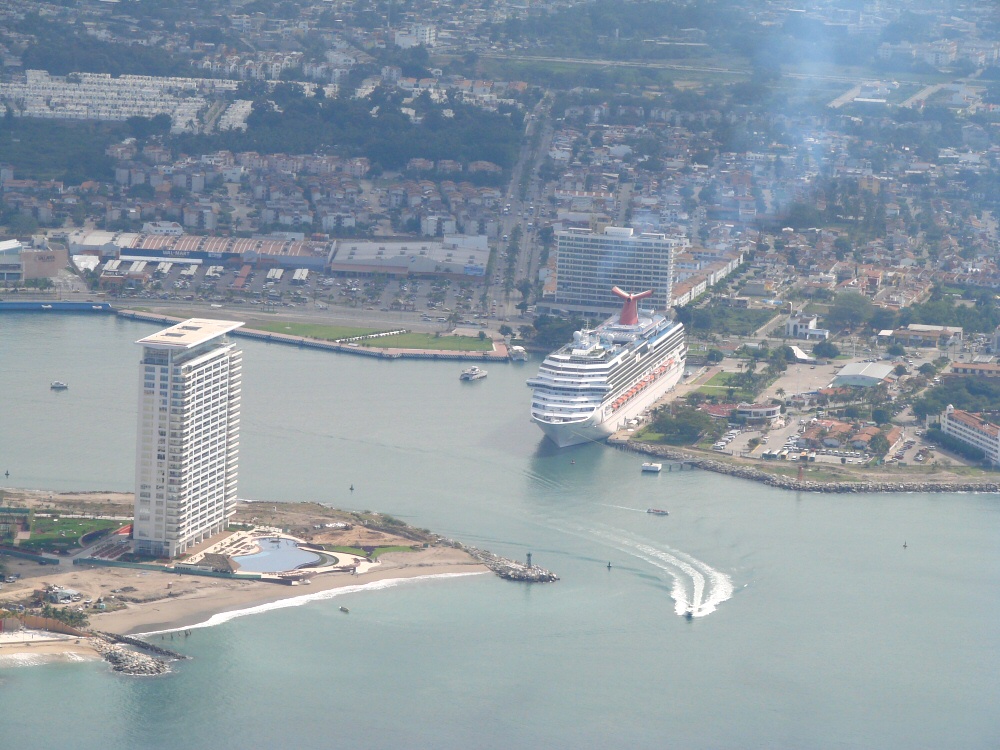
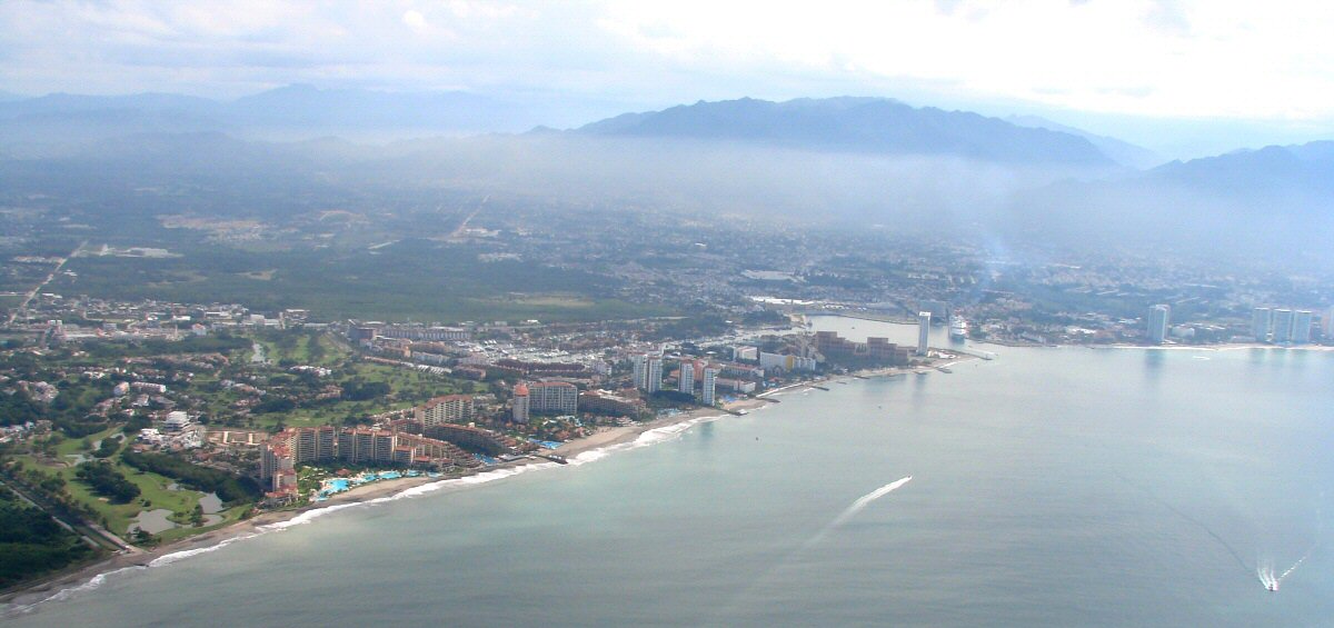
Closer look at the port
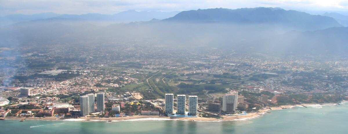
Puerto Vallarta coastline
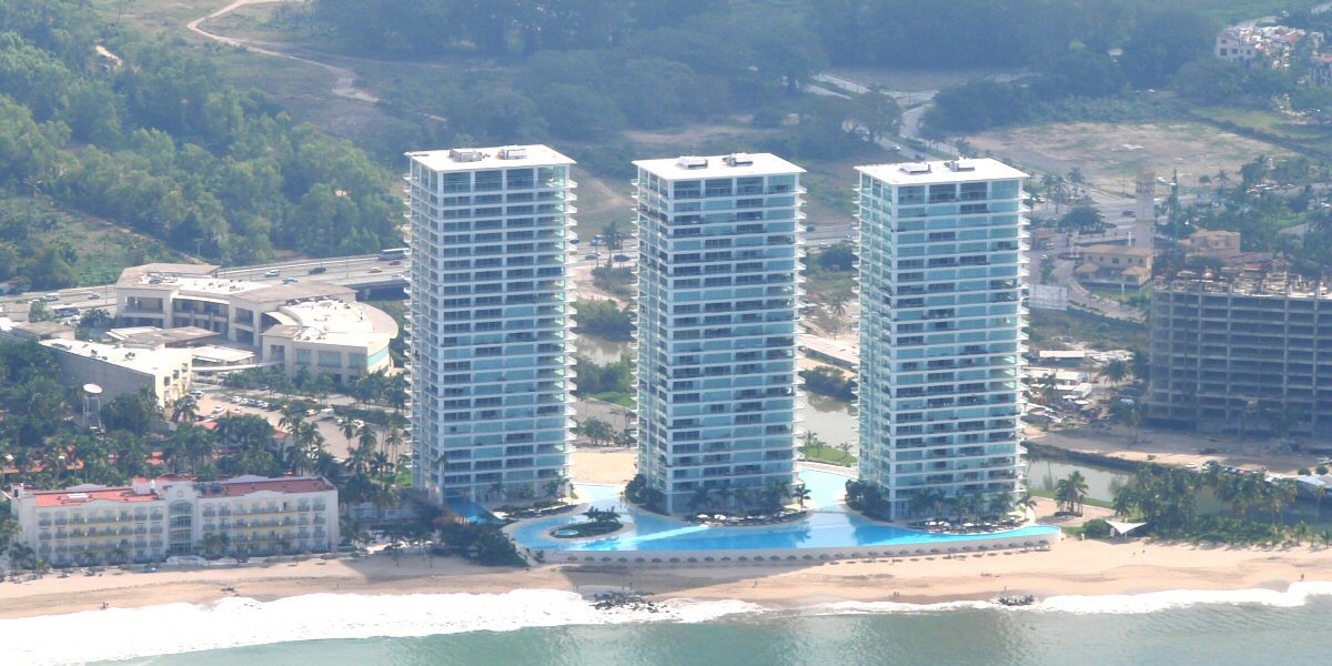
Beachfront hotels in Puerto Vallarta
Puerto Vallarta coastline
Puerto Vallarta coastline
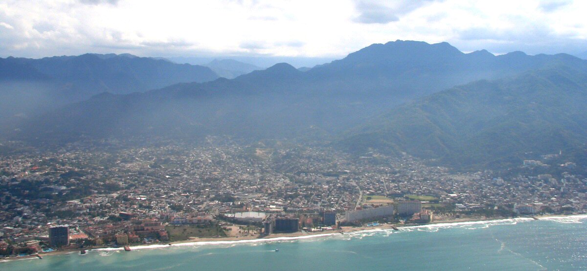
Puerto Vallarta, southern edge