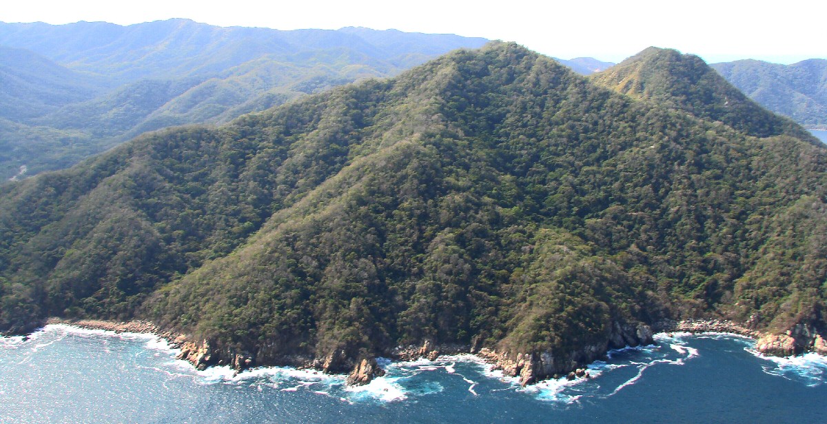
Punta La Iglesia
|
Punta La Iglesia
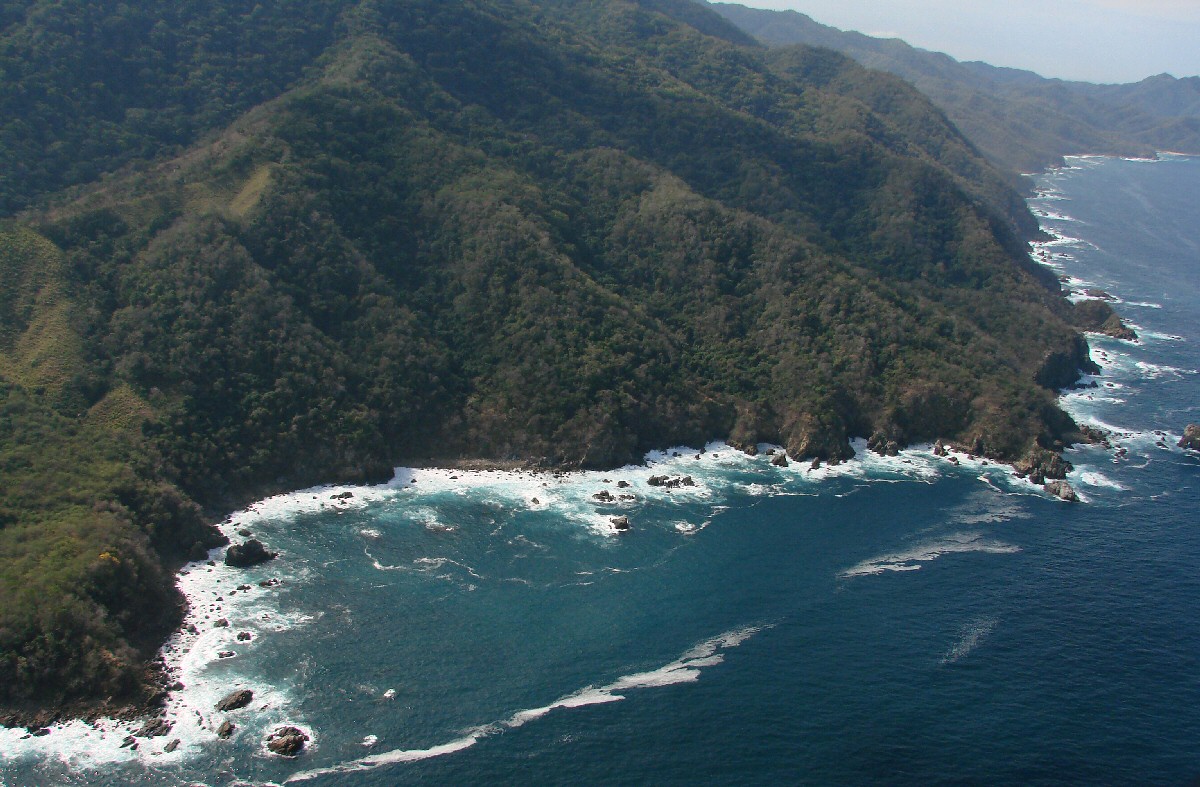
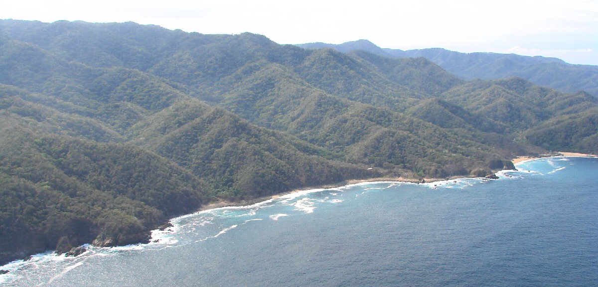
Banderas Bay coastline with Punta la Iglesia in foreground, and in background Punta Tabita, first major point jutting out at upper right
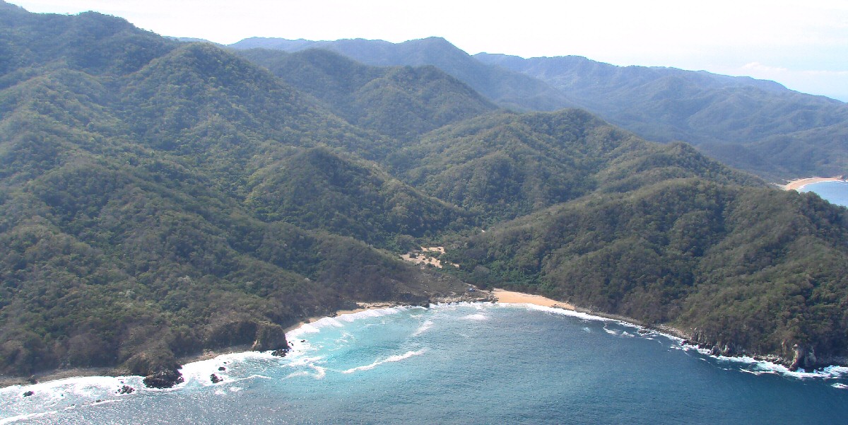
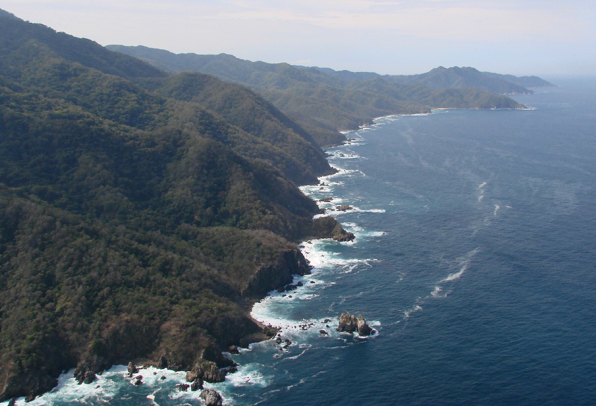
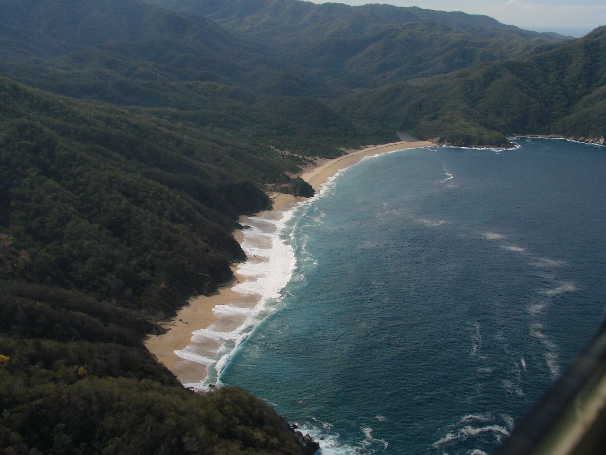
Punta Tabita in right foreground
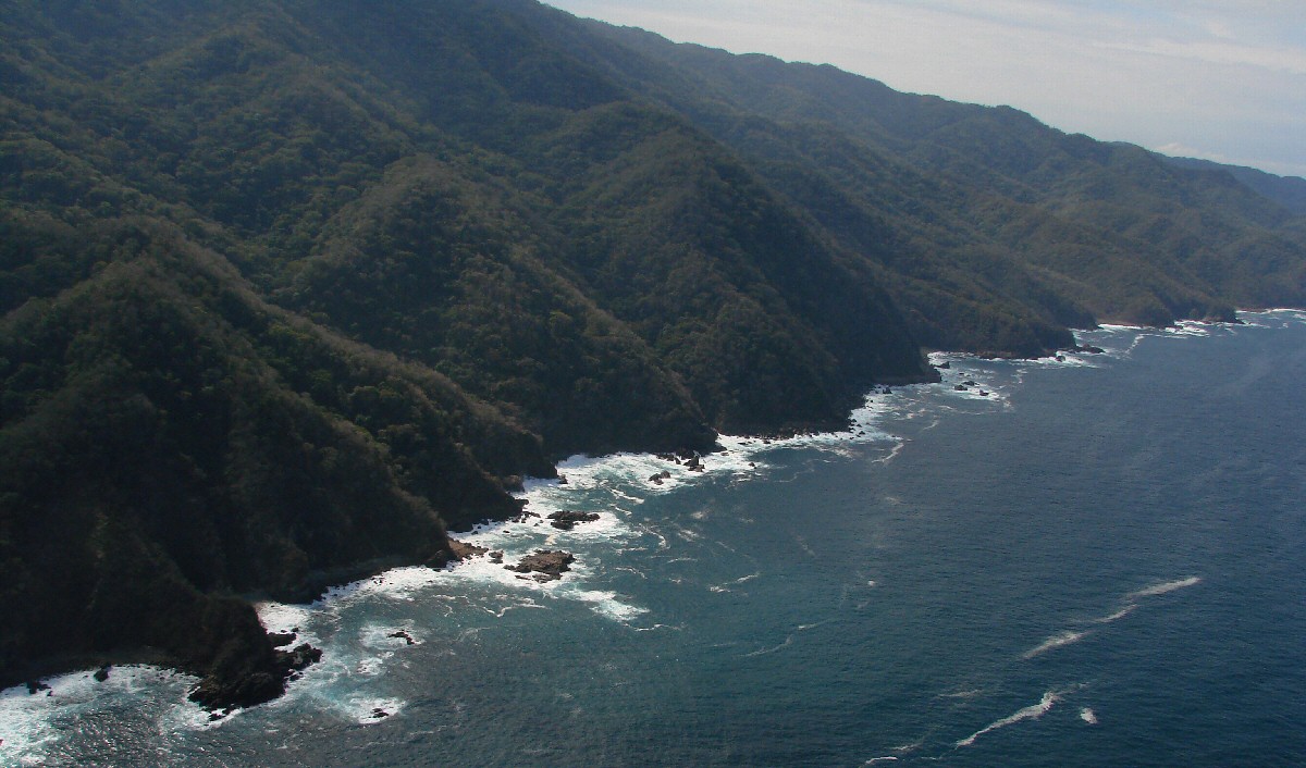
A closer look
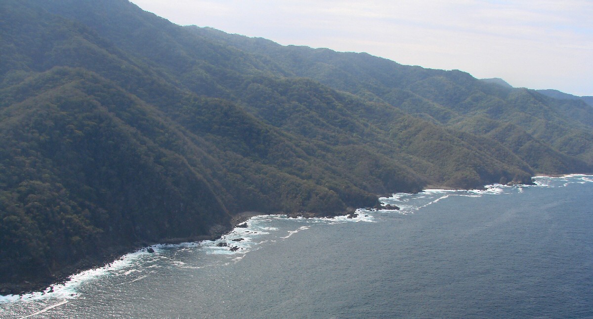
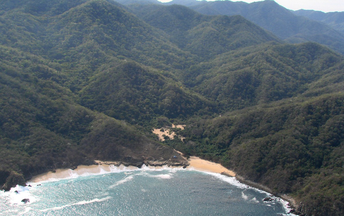
Río Tabo at end of beach
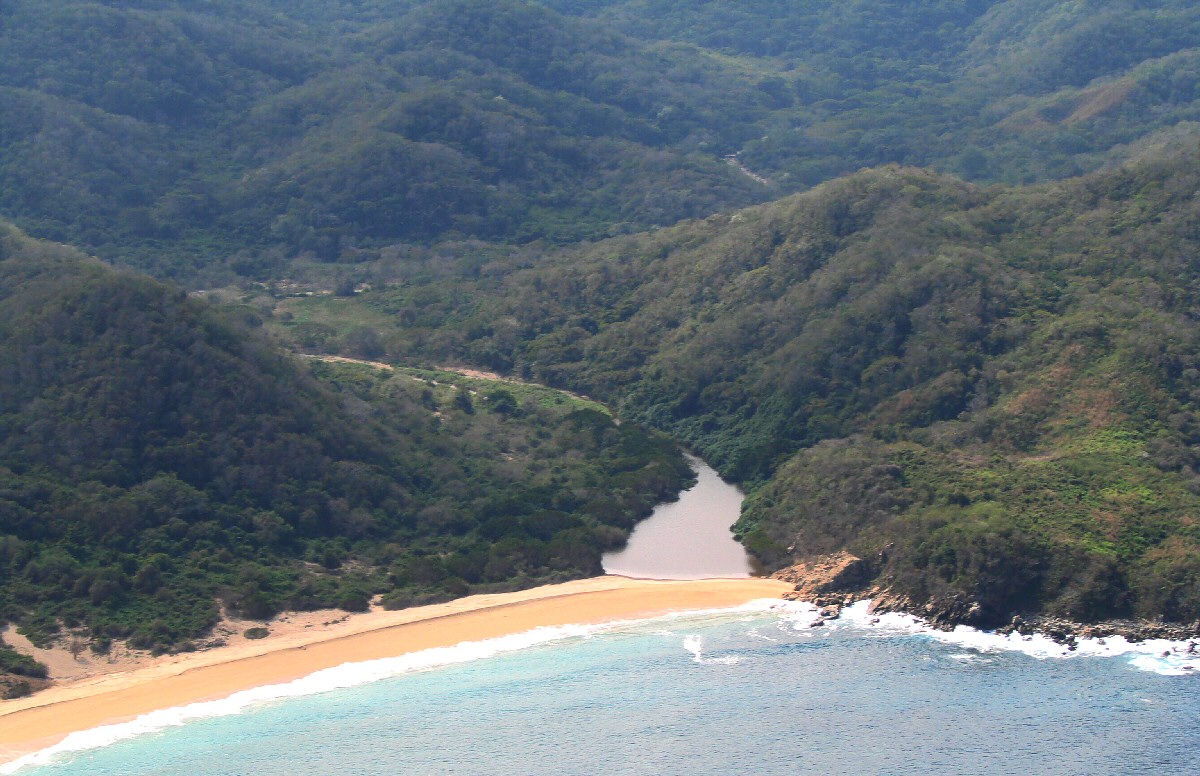
Río Tabo
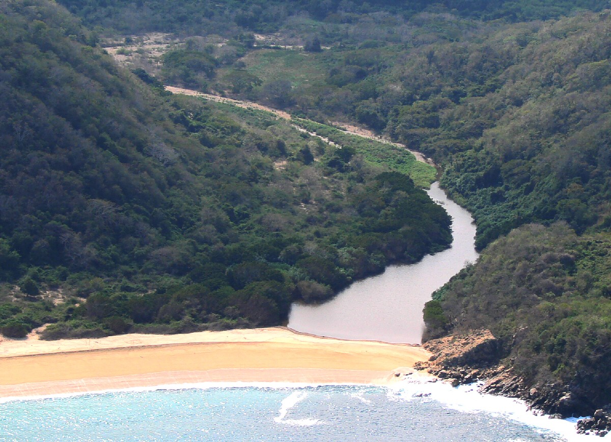
A closer look
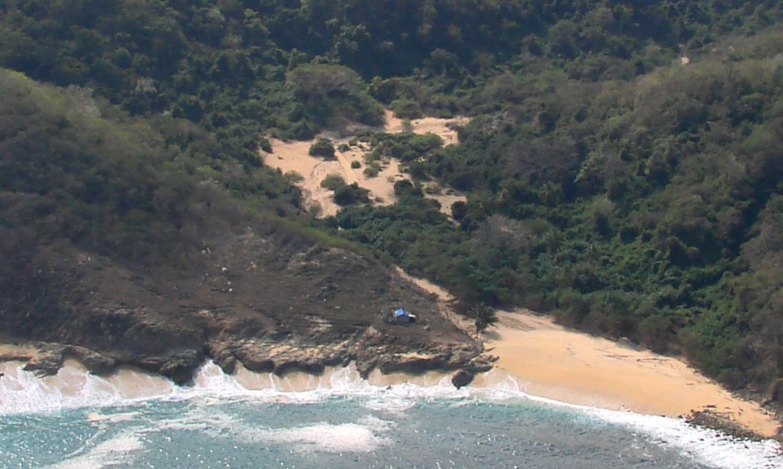
Río Tabo at left