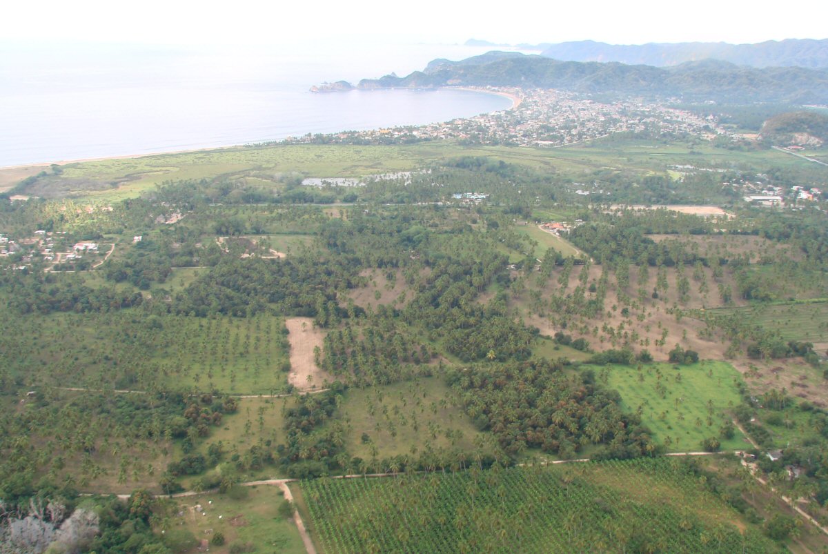
Just after takeoff from Playa de Oro Airport in Manzanillo. Playa de Cocos in background.
| For the flight to photograph the coast of Jalisco, we first flew overland from Manzanillo to Puerto Vallarta. Puerto Vallarta is on the Jalisco/Nayarit border and that is where we began to photograph the coast. Below are the photos I took on the way to that starting point. Note that there are 65 photos displayed on three pages. Links to the other pages are found at the top and bottom of each page. |
Just after takeoff from Playa de Oro Airport in Manzanillo. Playa de Cocos in background.
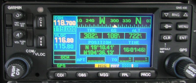
A look at the nav radio after takeoff
Barra de Navidad and Laguna Navidad in background
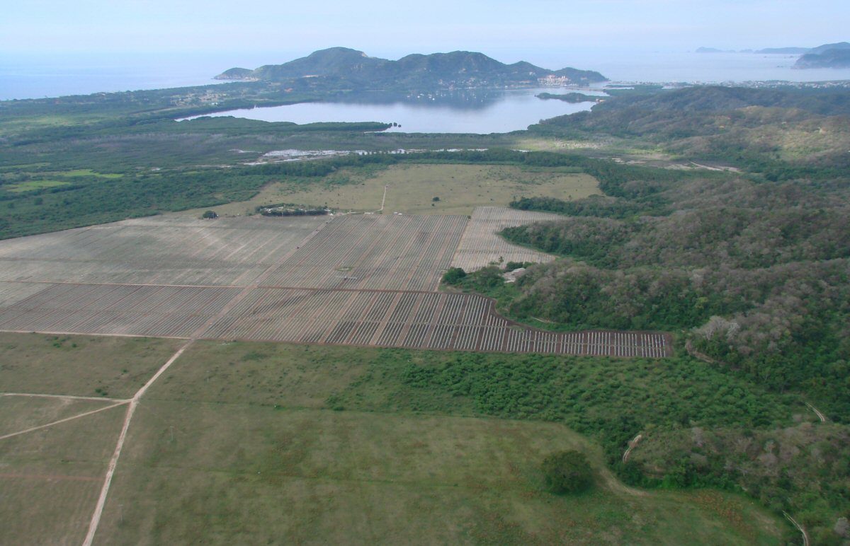
Laguna Navidad again
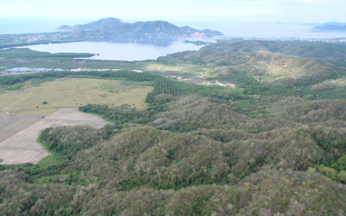
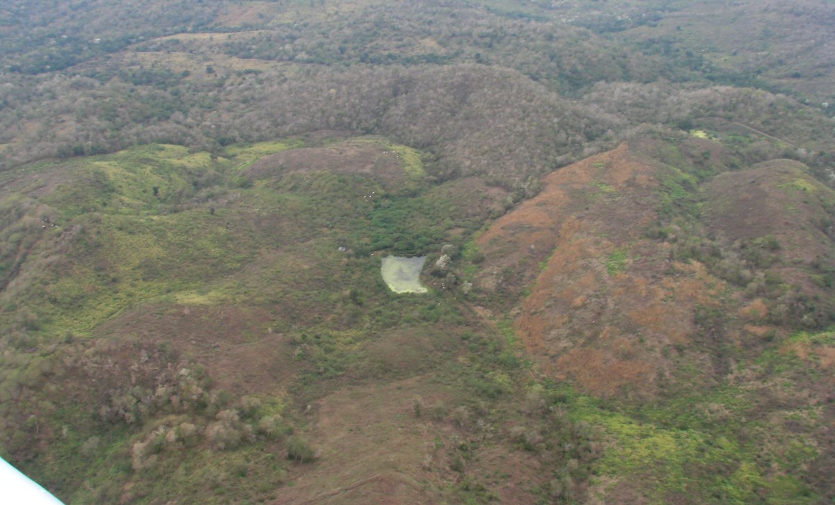
Hilly terrain begins
Grand Bay Hotel in center background
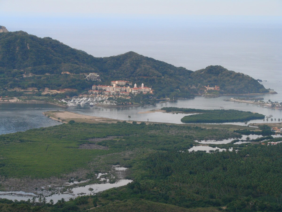
A closer look
Highway 80 and the road to Cuastecomates
Climbing into more rugged terrain
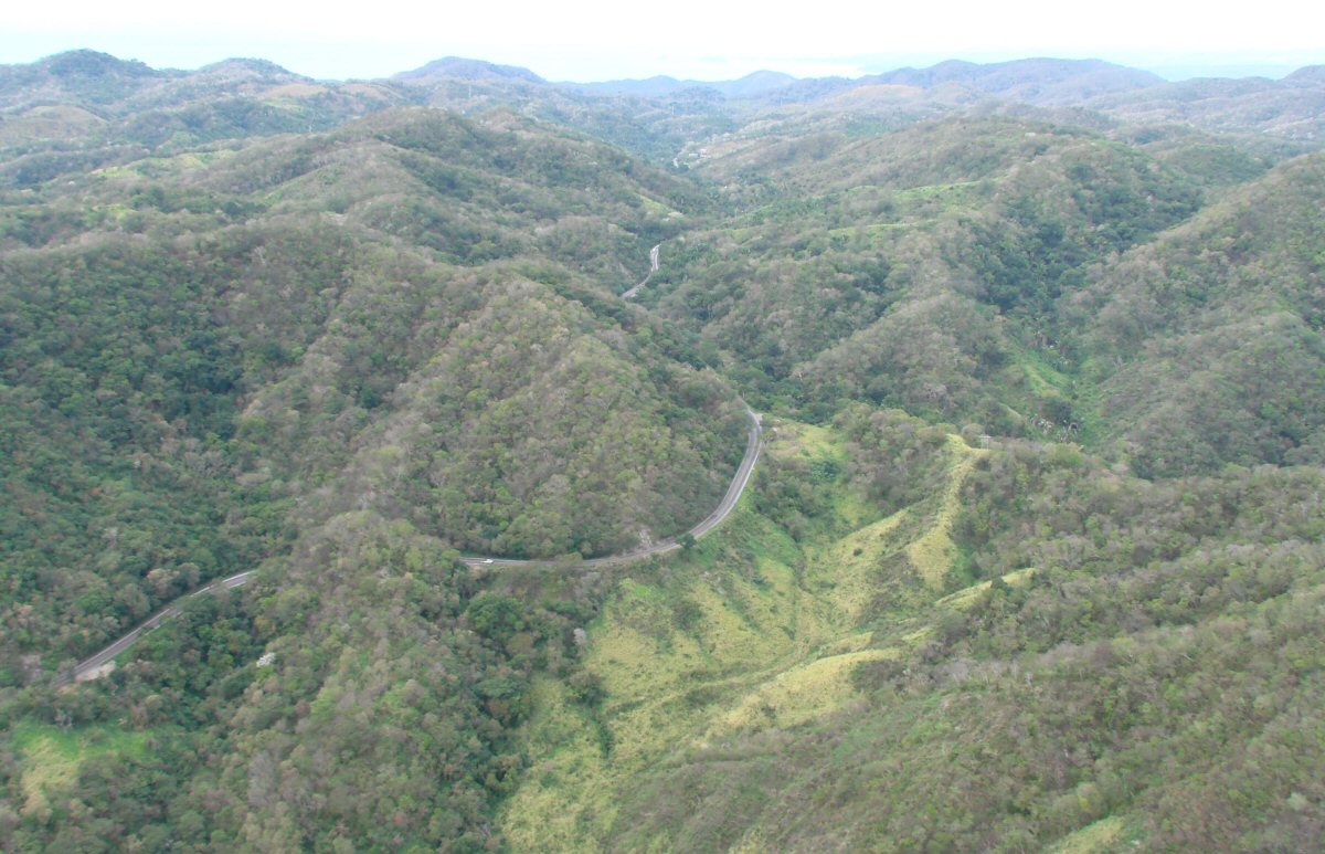
Highway 200 winds its way toward La Manzanilla
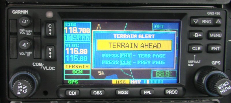
The navigation radio issues a terrain warning
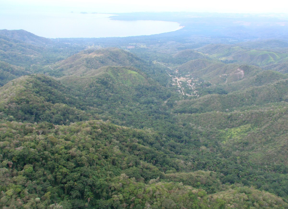
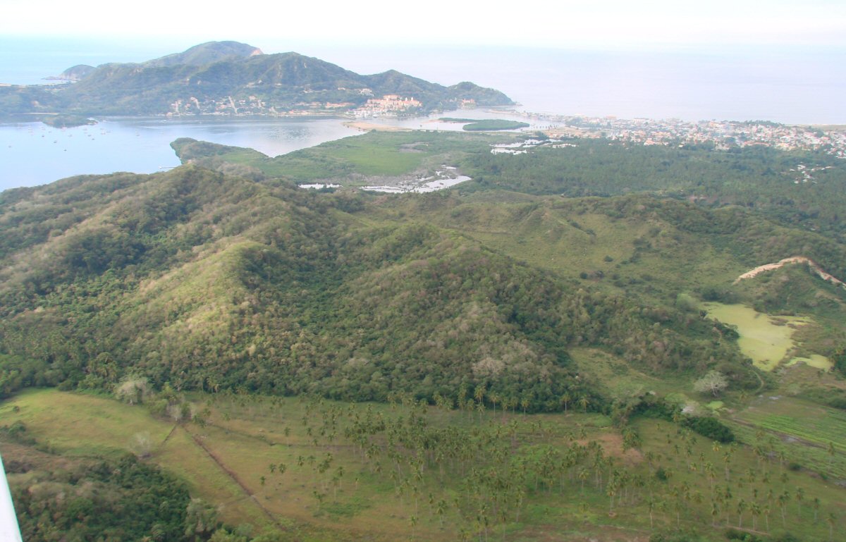
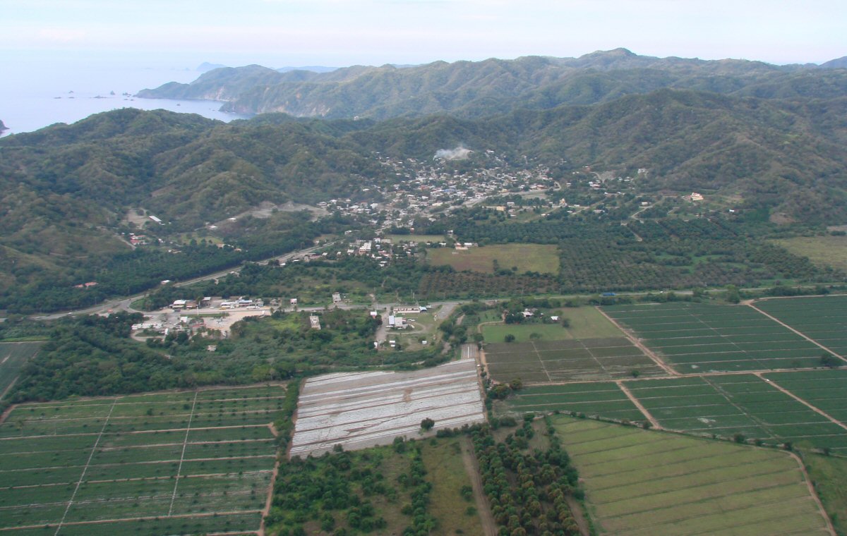
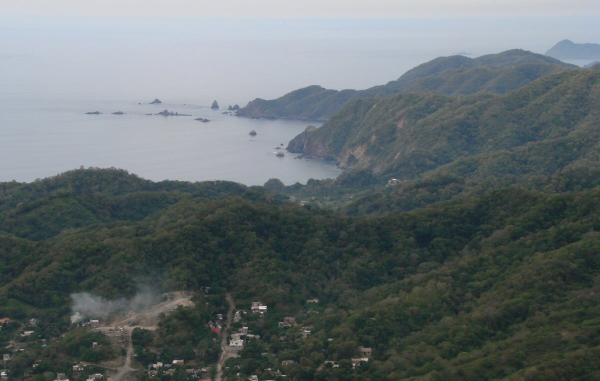
La Manzanilla and Bahía Tenacatita ahead
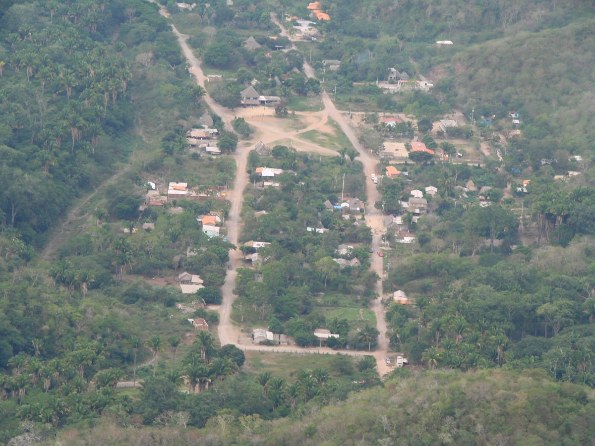
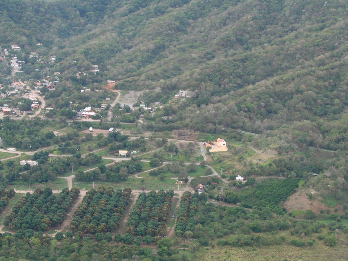
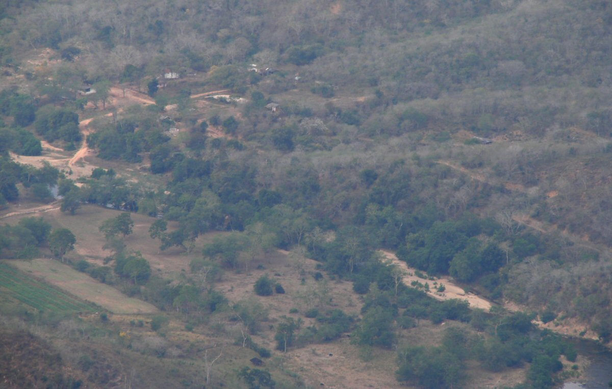
Small community northeast of La Manzanilla
Homestead in the country 19°22.31'N 104°47.77'W
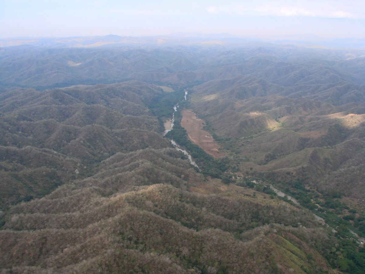
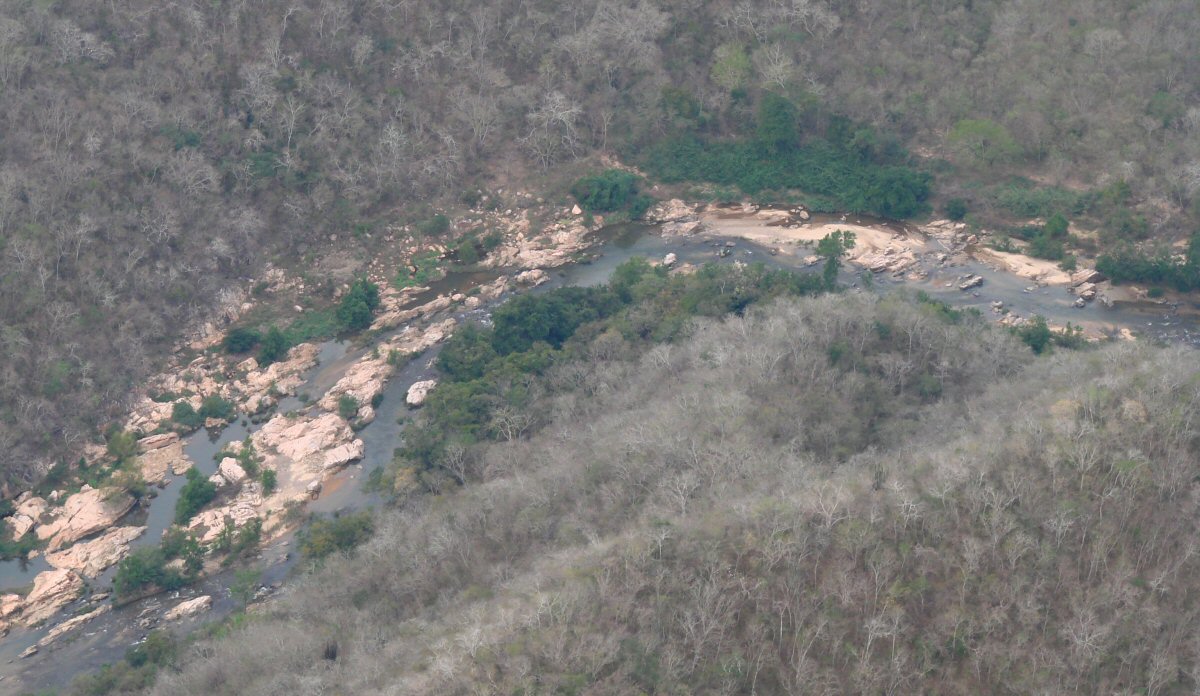
Río Purificación 19°25.39'N 104°49.50'W
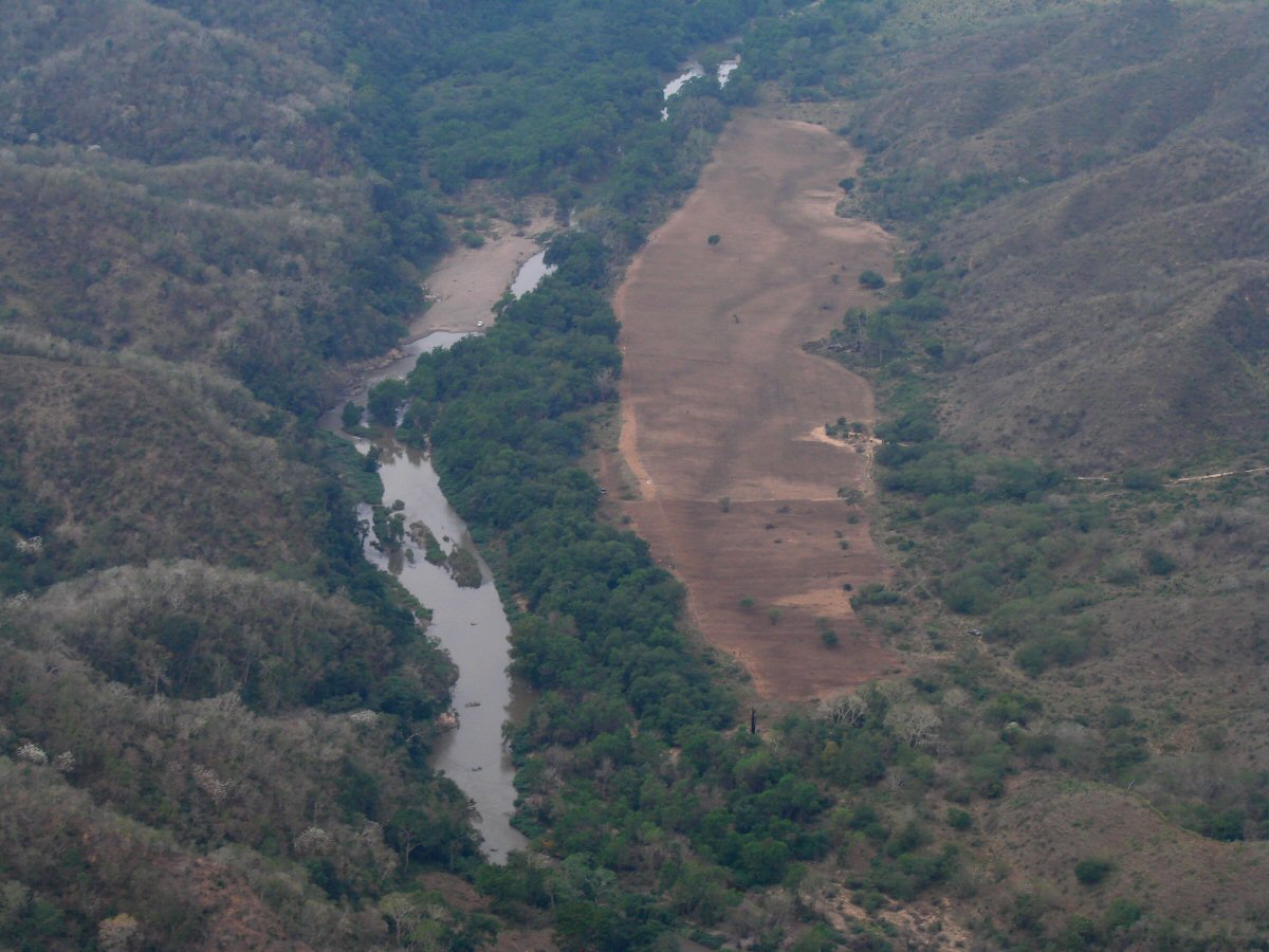
A closer look
Río Cuitzmala 19°29.79'N 104°51.97'W
Río Cuitzmala