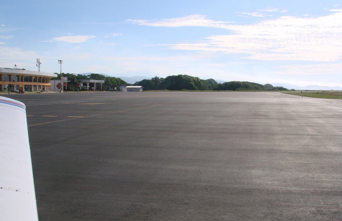
Taxiing to runway 10
|
For the flight to photograph the coast of Colima, we took off from Playa de Oro Airport in Manzanillo and flew to nearby Barra de Navidad and Melaque to retake some of those photos, then proceeded eastward along the coast, photographing the beaches of Colima starting with |
Taxiing to runway 10
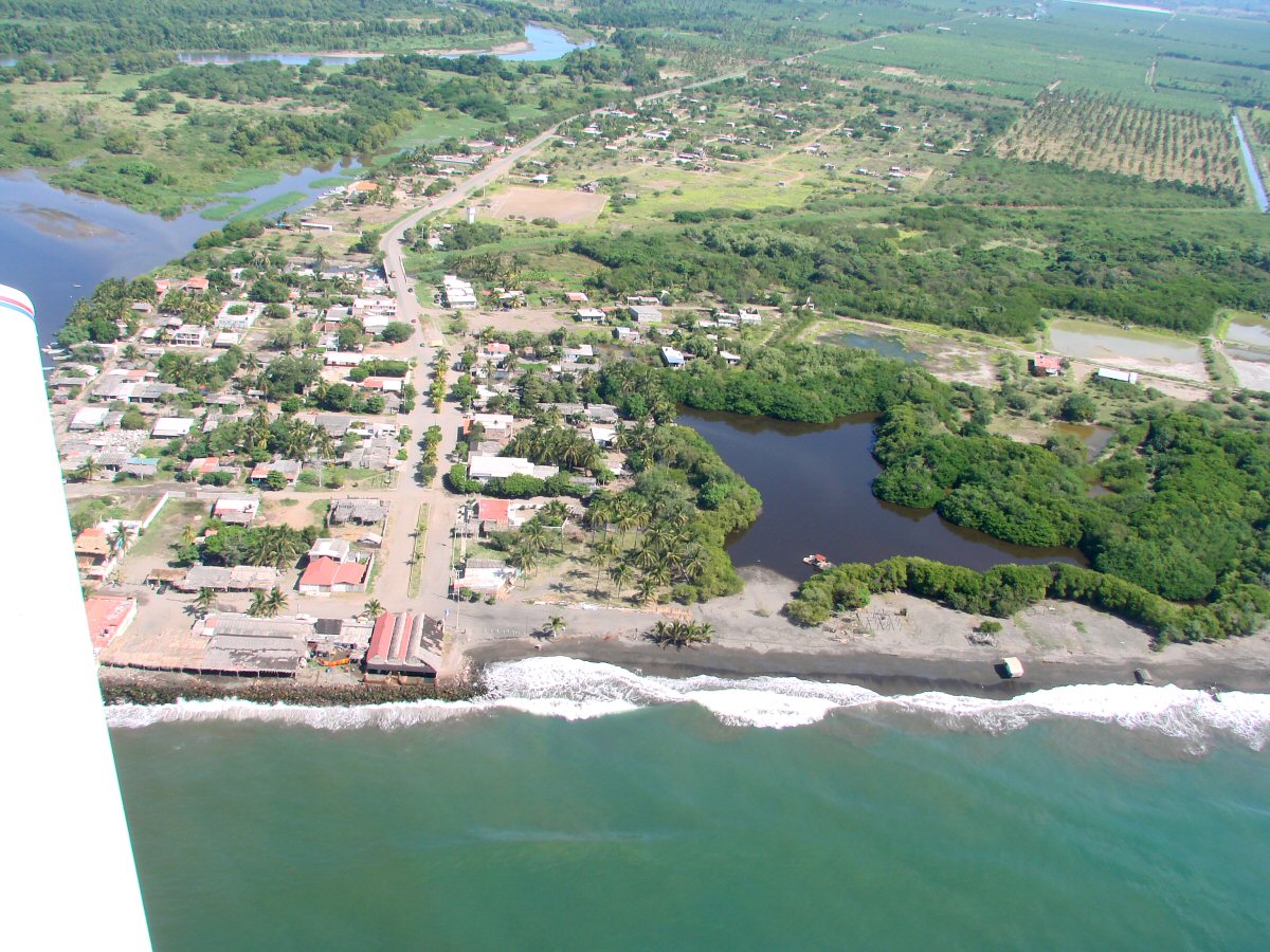
Boca de Apiza, Michoacan 18.6844°N 103.7362°W
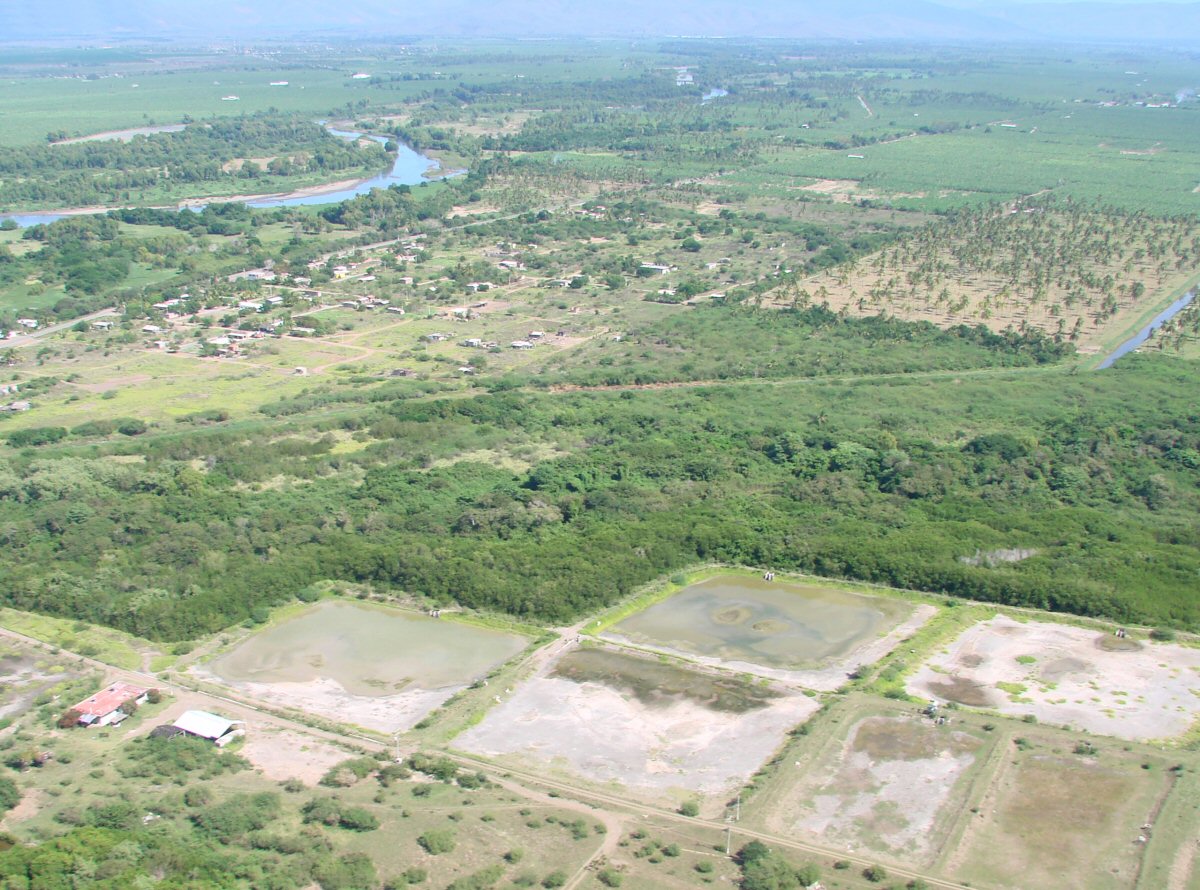
Turning inland. The Río Coahuayana at left marks the border between Colima (left) and Michoacan (right).
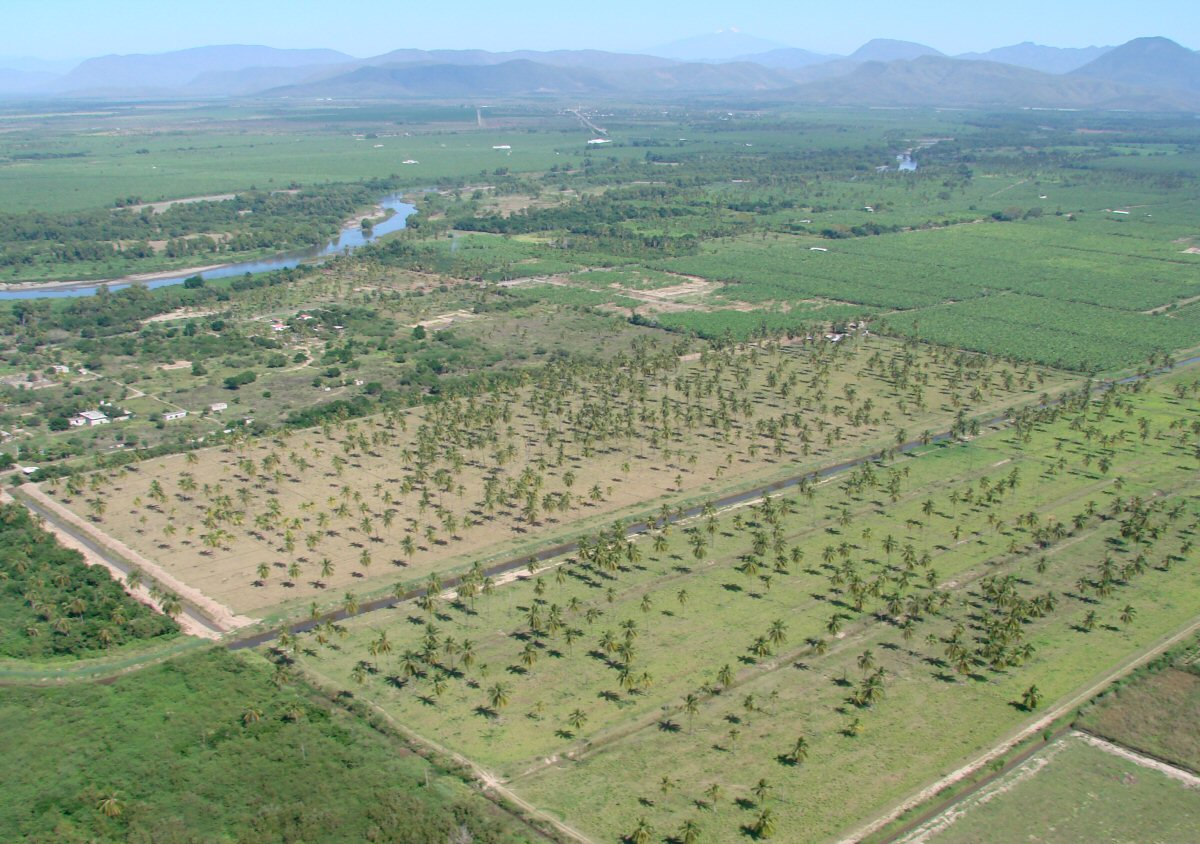
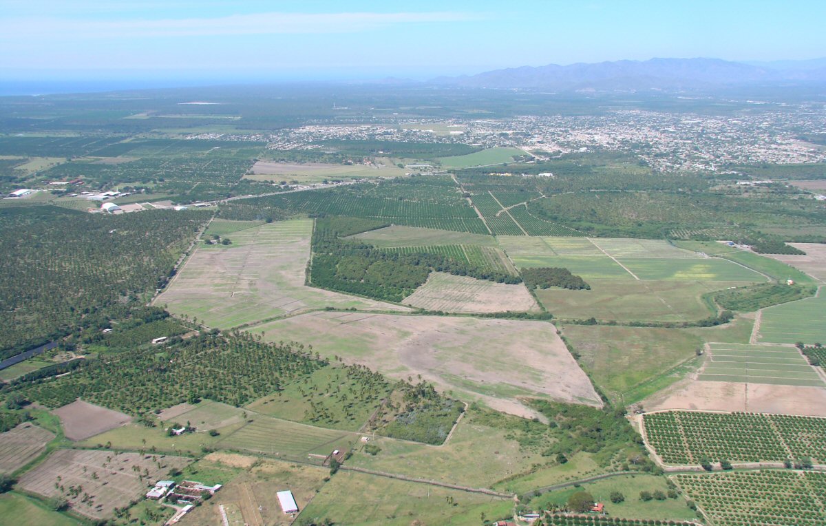
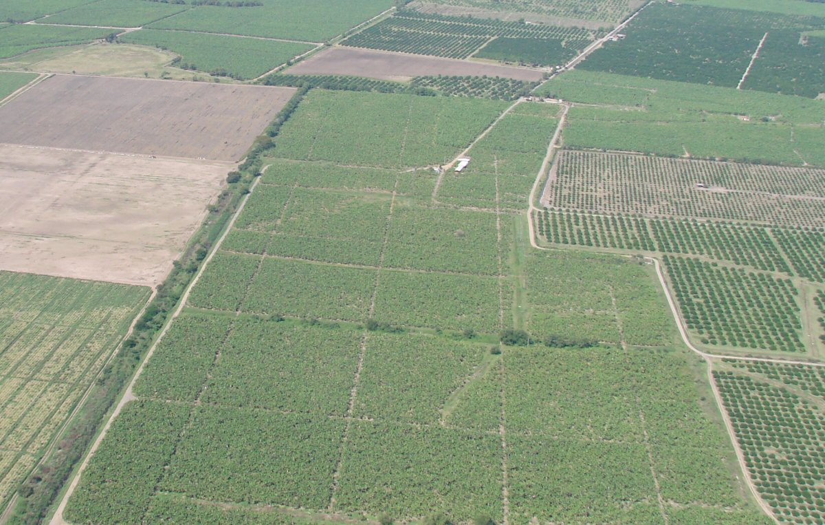
Irrigated cropland. Nevado de Colima (snow-capped) can be seen in the background.
Coastal highway 200 with the town Cerro de Ortega in background at right.
Looking across the Río Coahuayana into Colima
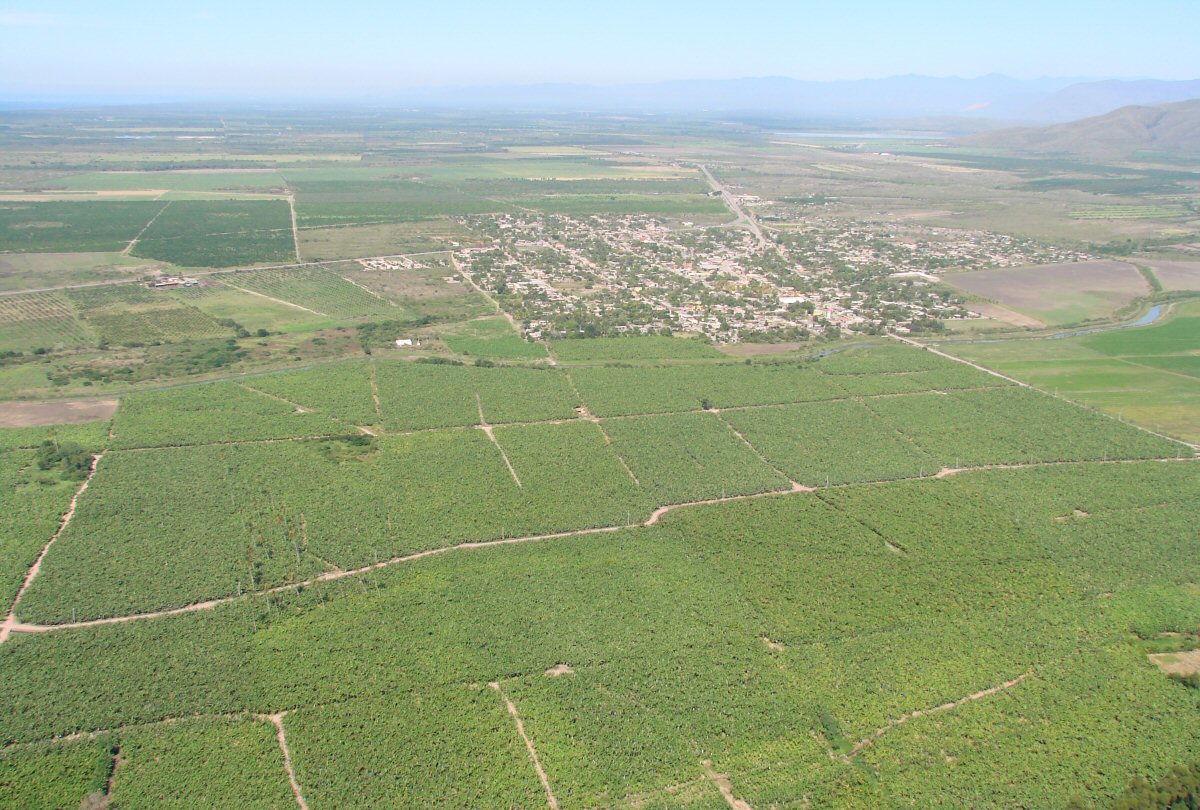
The town Cerro de Ortega, Colima
A closer look at Cerro de Ortega 18.7501°N 103.7196°W
Cerro de Ortega with irrigation canal in foreground
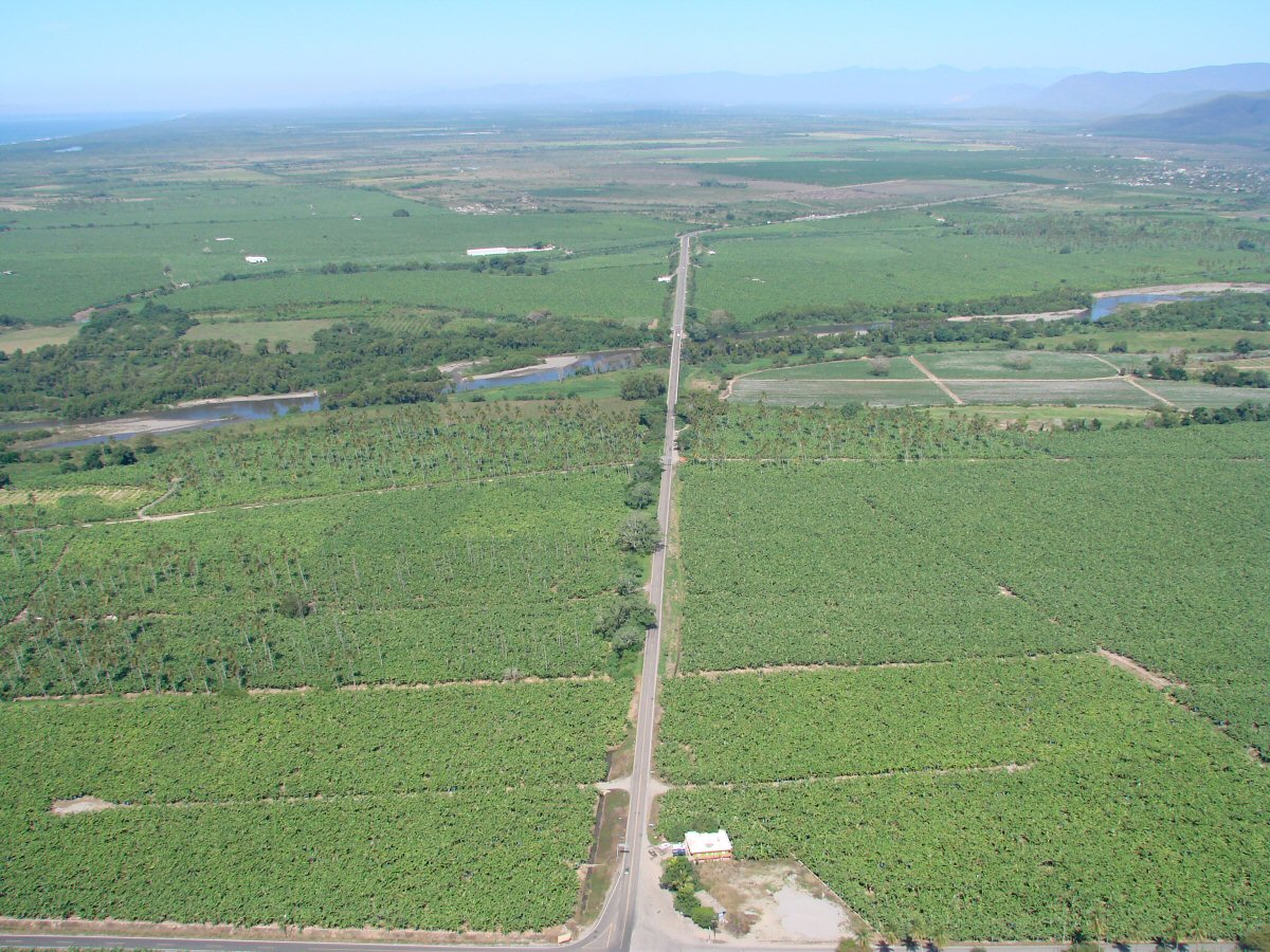
Coastal highway 200
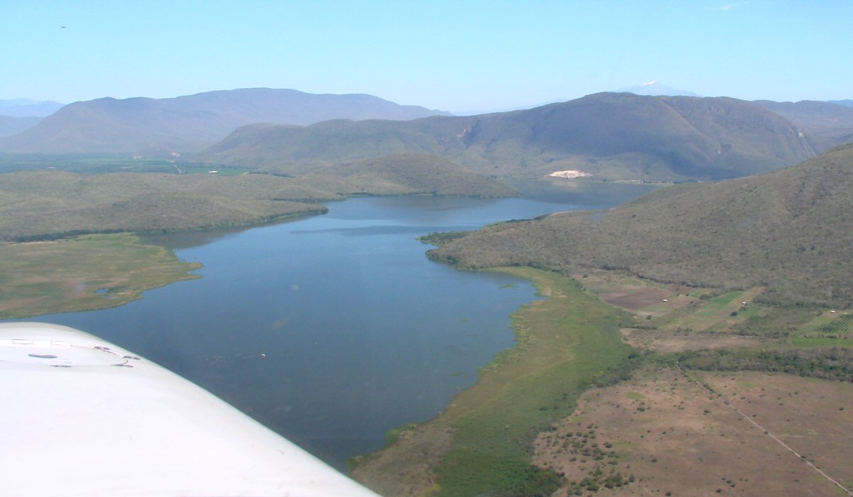
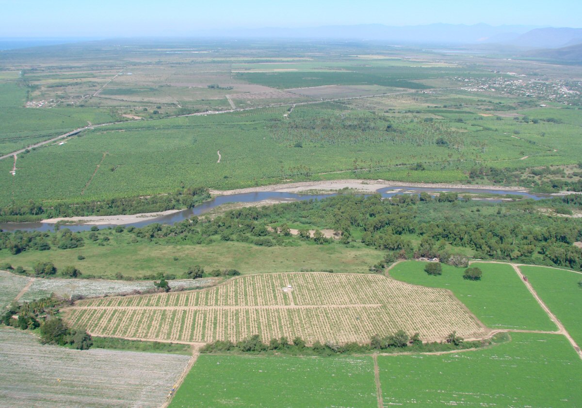
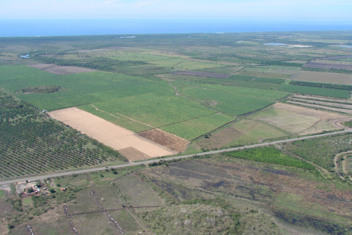
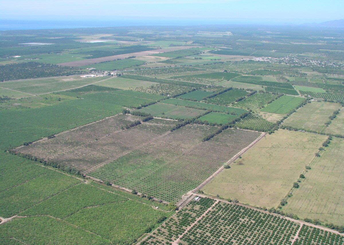
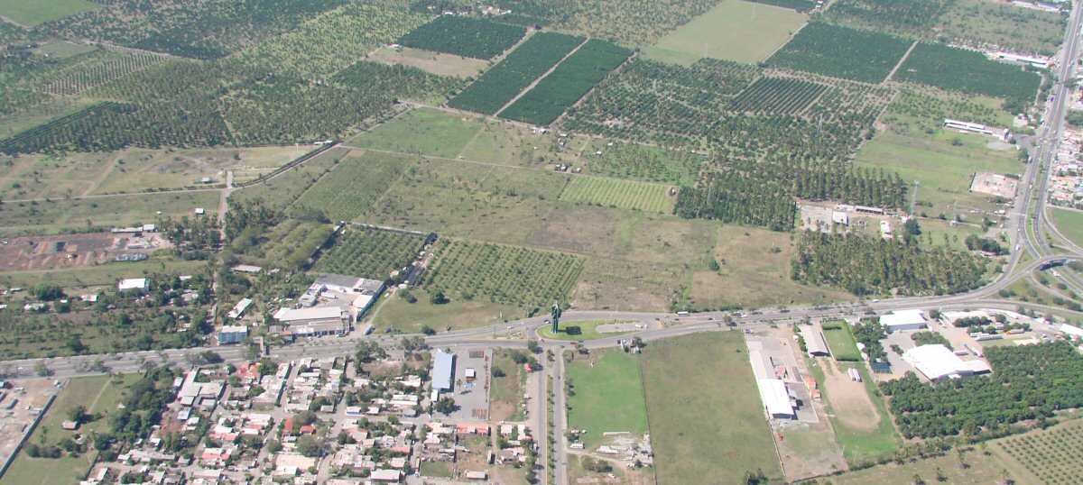
Laguna Amela is the source of irrigation water for the region. The slope of Cerro Cabeza de Toro is visible at right and snow-capped Nevada de Colima is in the background.
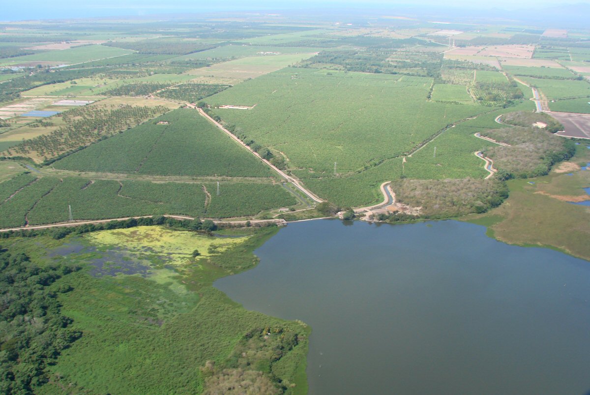
The dam of Laguna Amela and radiating irrigation canals
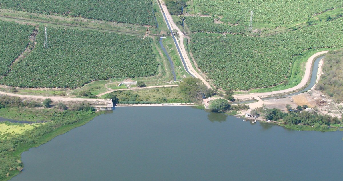
A closer look at the dam and canals of Laguna Amela
Canal
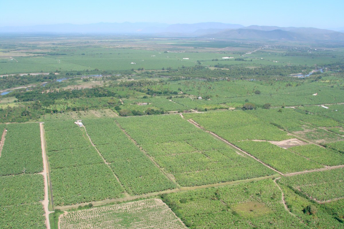
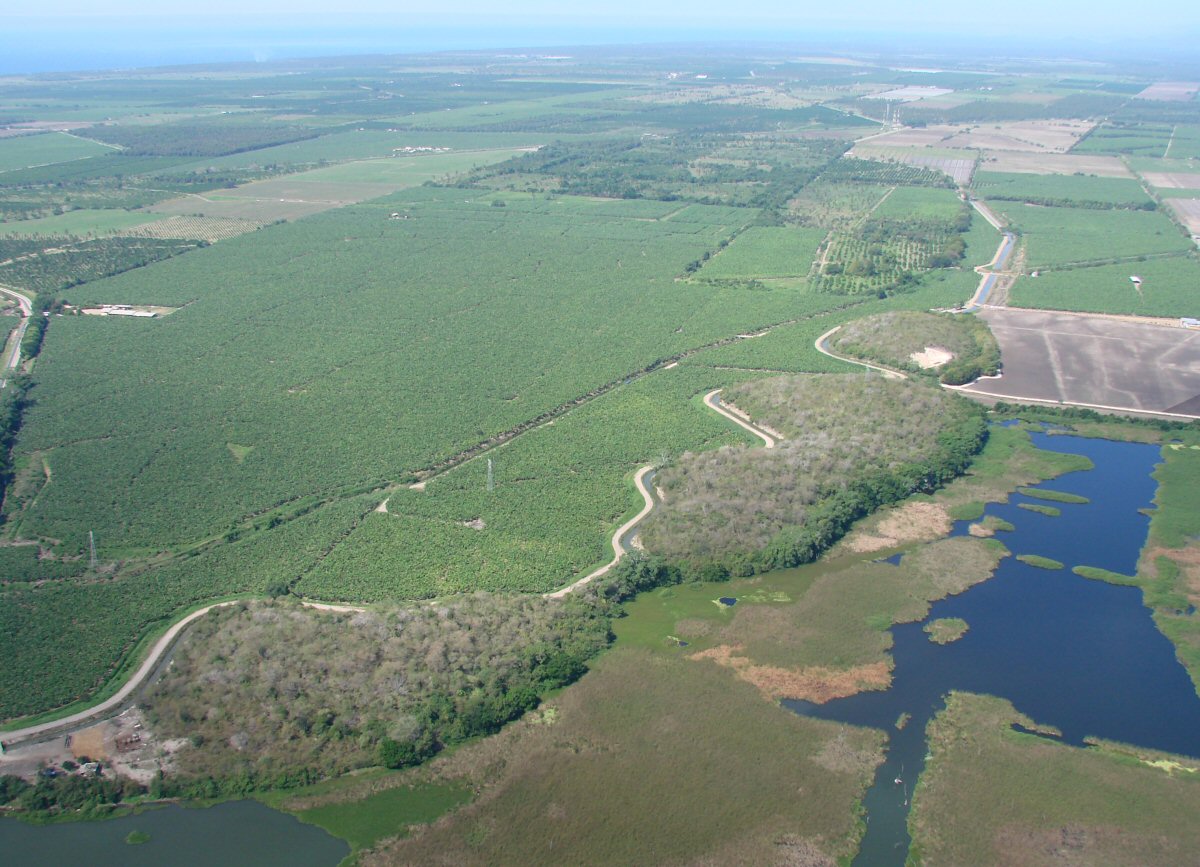
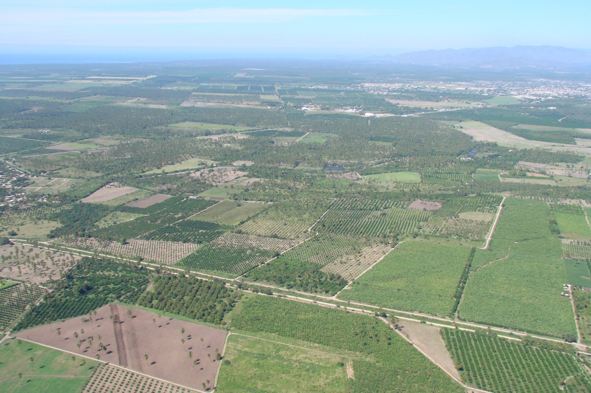
Irrigated crops
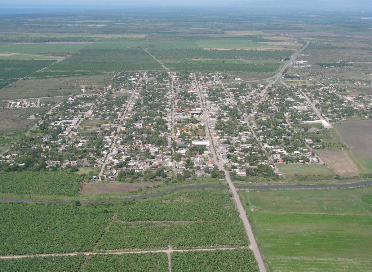
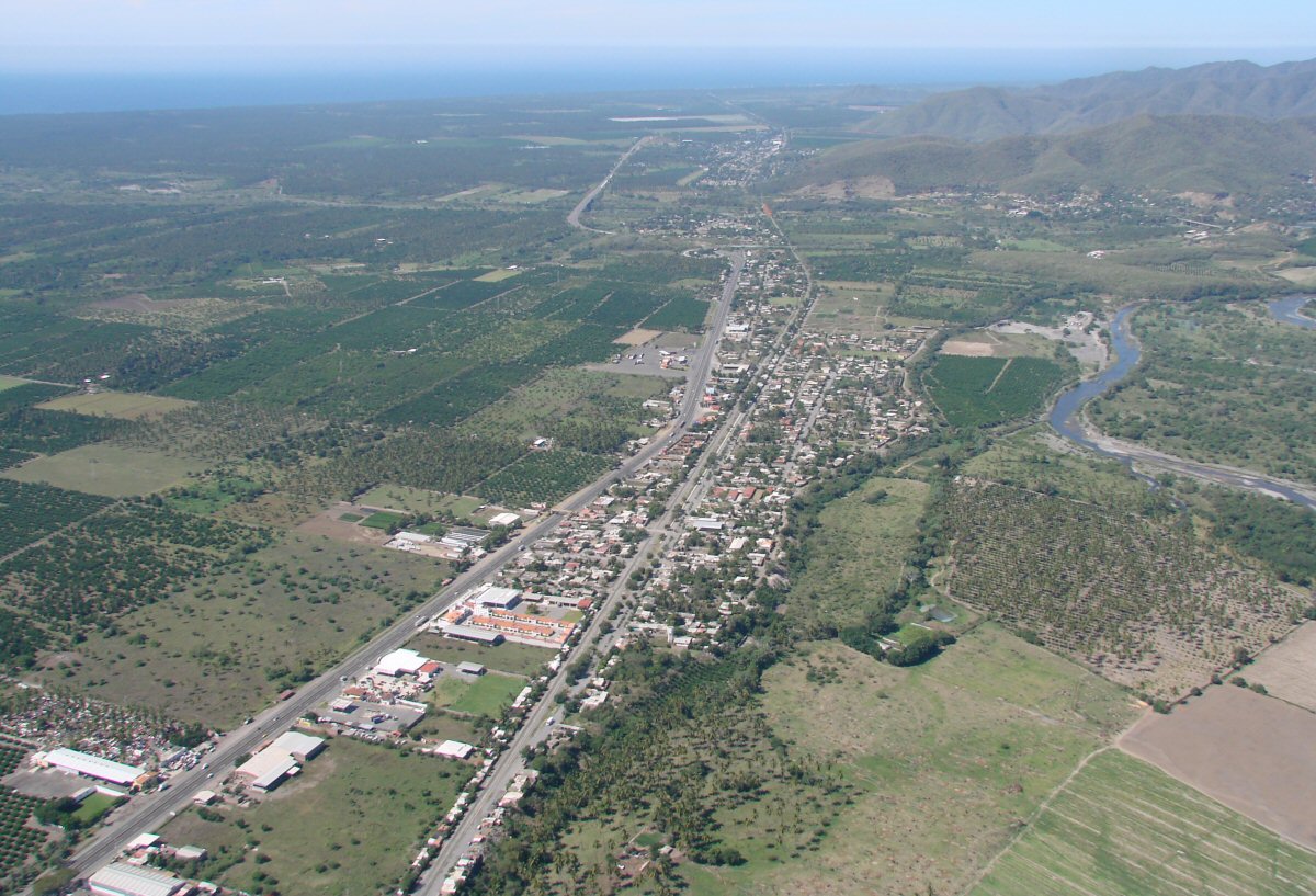
Coastal highway 200 with town of Cofradia de Morelos at right 18.8675°N 103.8351°W
City of Tecomán at far right
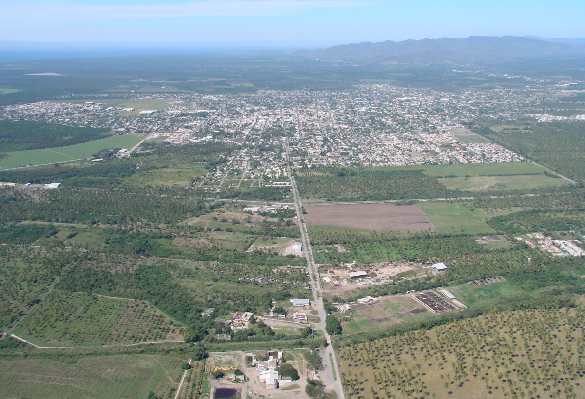
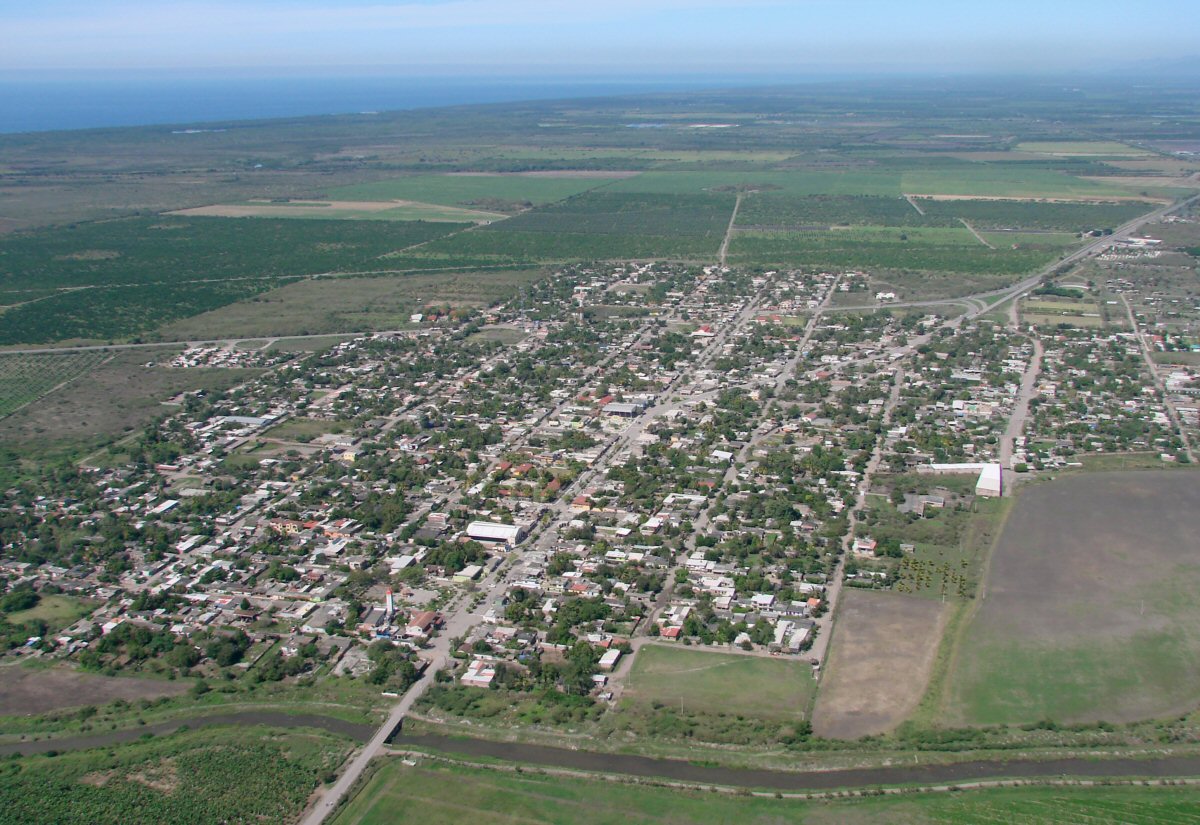
Tecomán 18.9143°N 103.8757°W
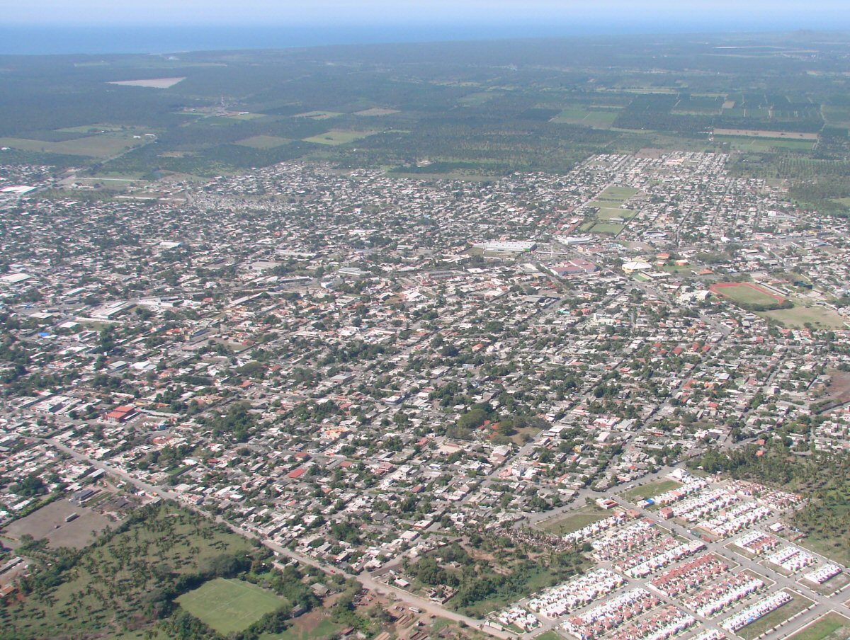
A closer look at Tecomán
Statue at the west end of Tecomán in Nuevo Caxitlán
Nuevo Caxitlán in foreground with the towns of Adolfo Ruíz Catinez and Ciudad de Armería in background, Río Armería at right