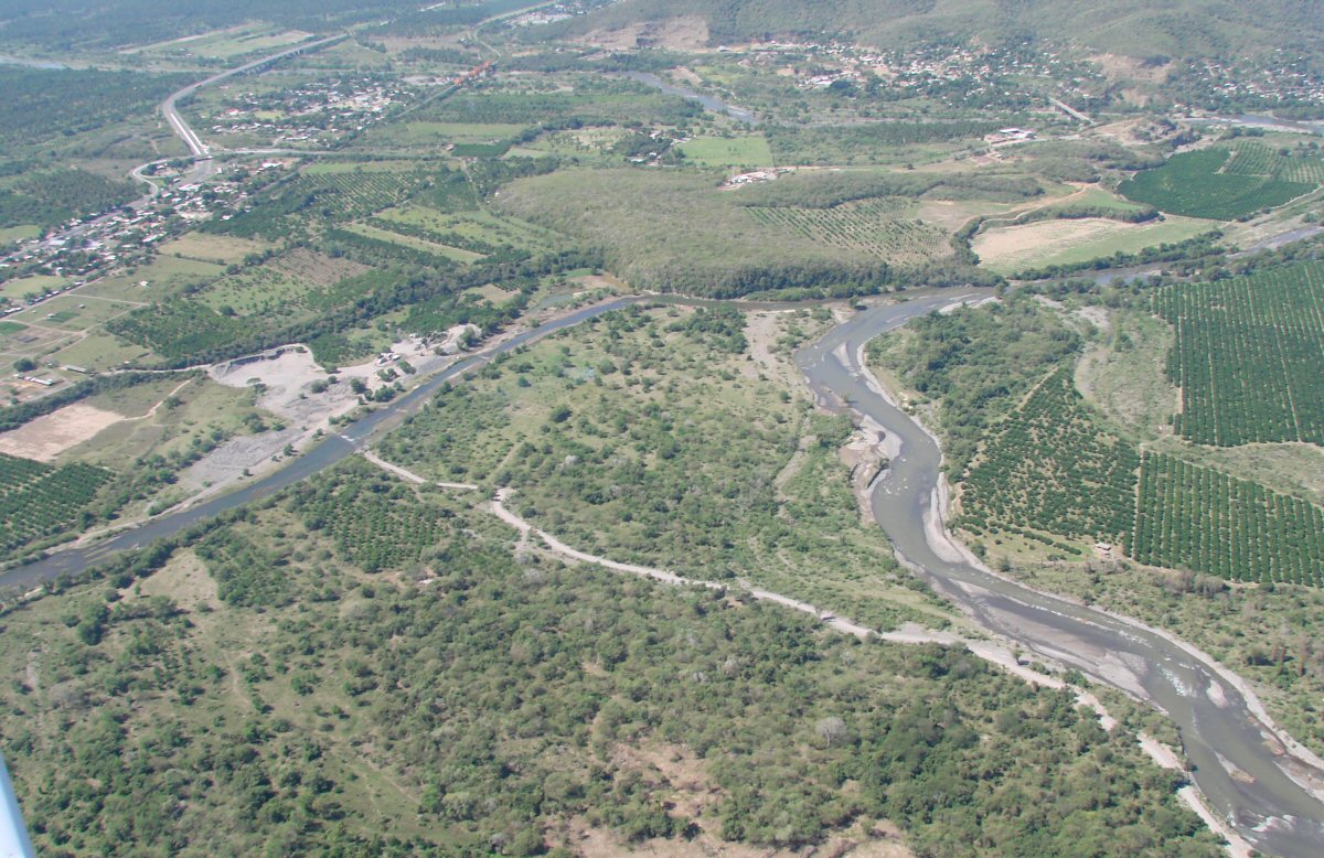
Río Armería
Río Armería
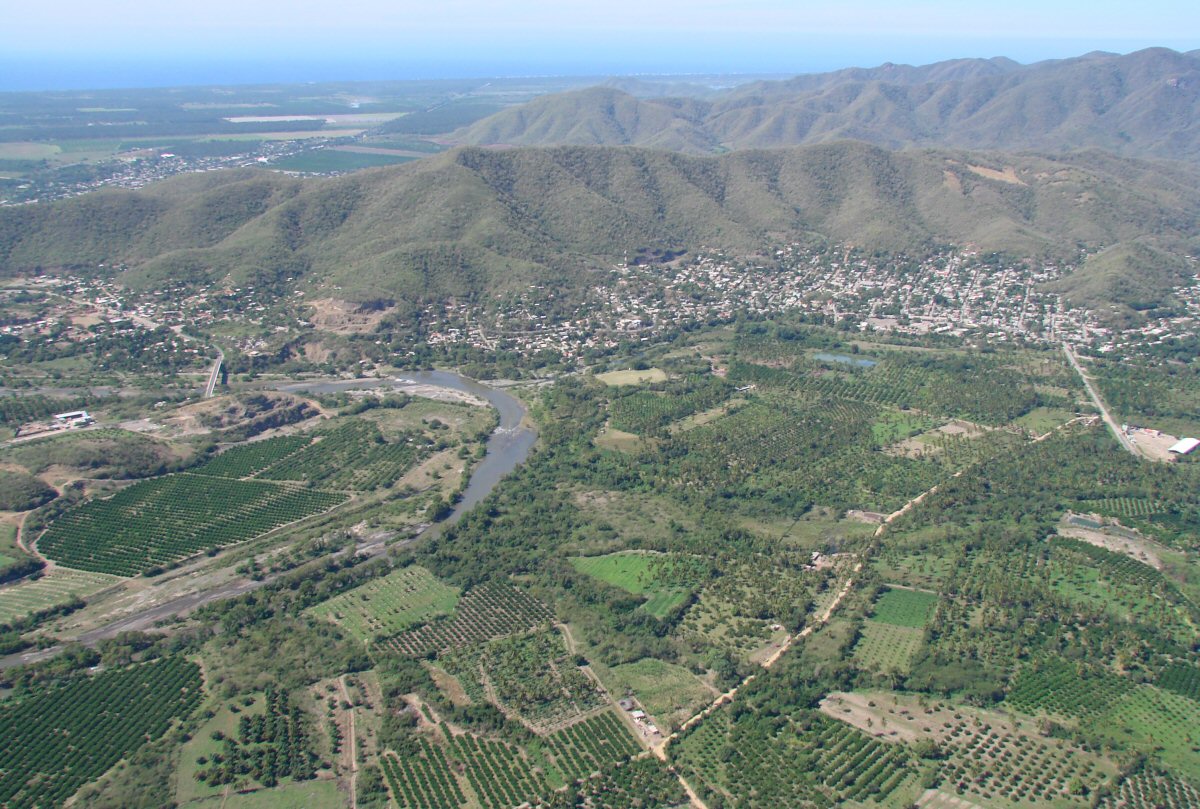
Colfradía de Juárez is the town backed up against the mountain at right
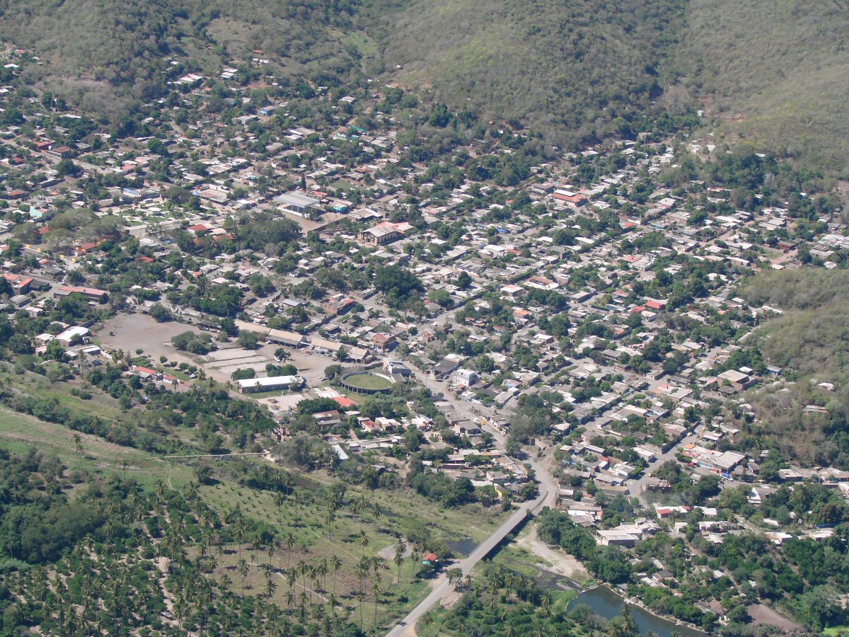
A closer look at Colfradía de Juárez
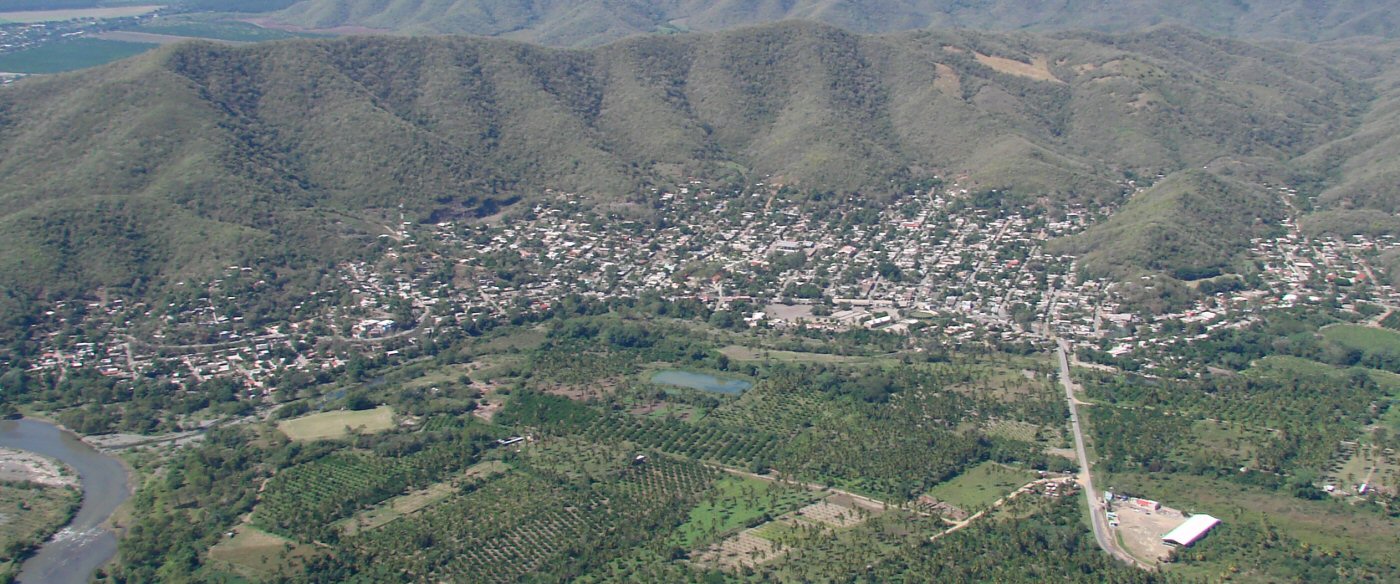
Colfradía de Juárez with the Río Armería in foreground
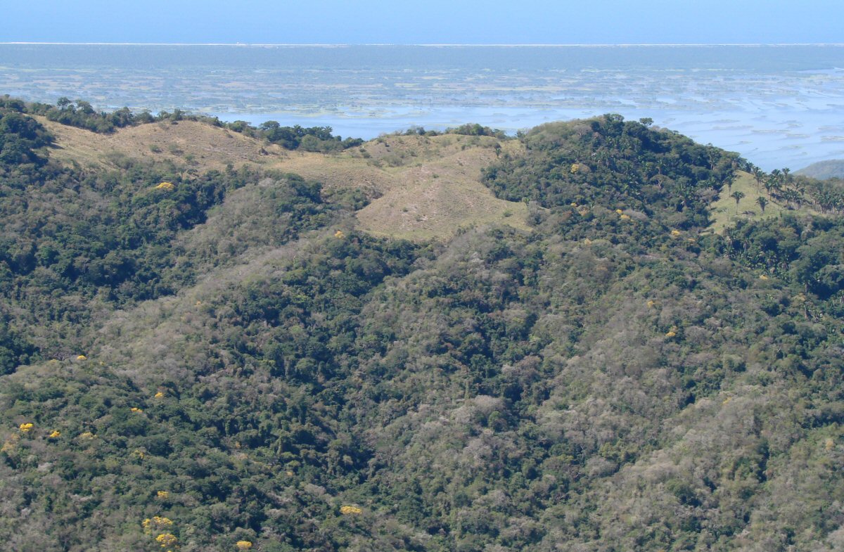
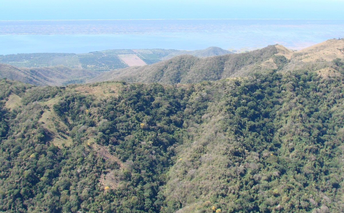
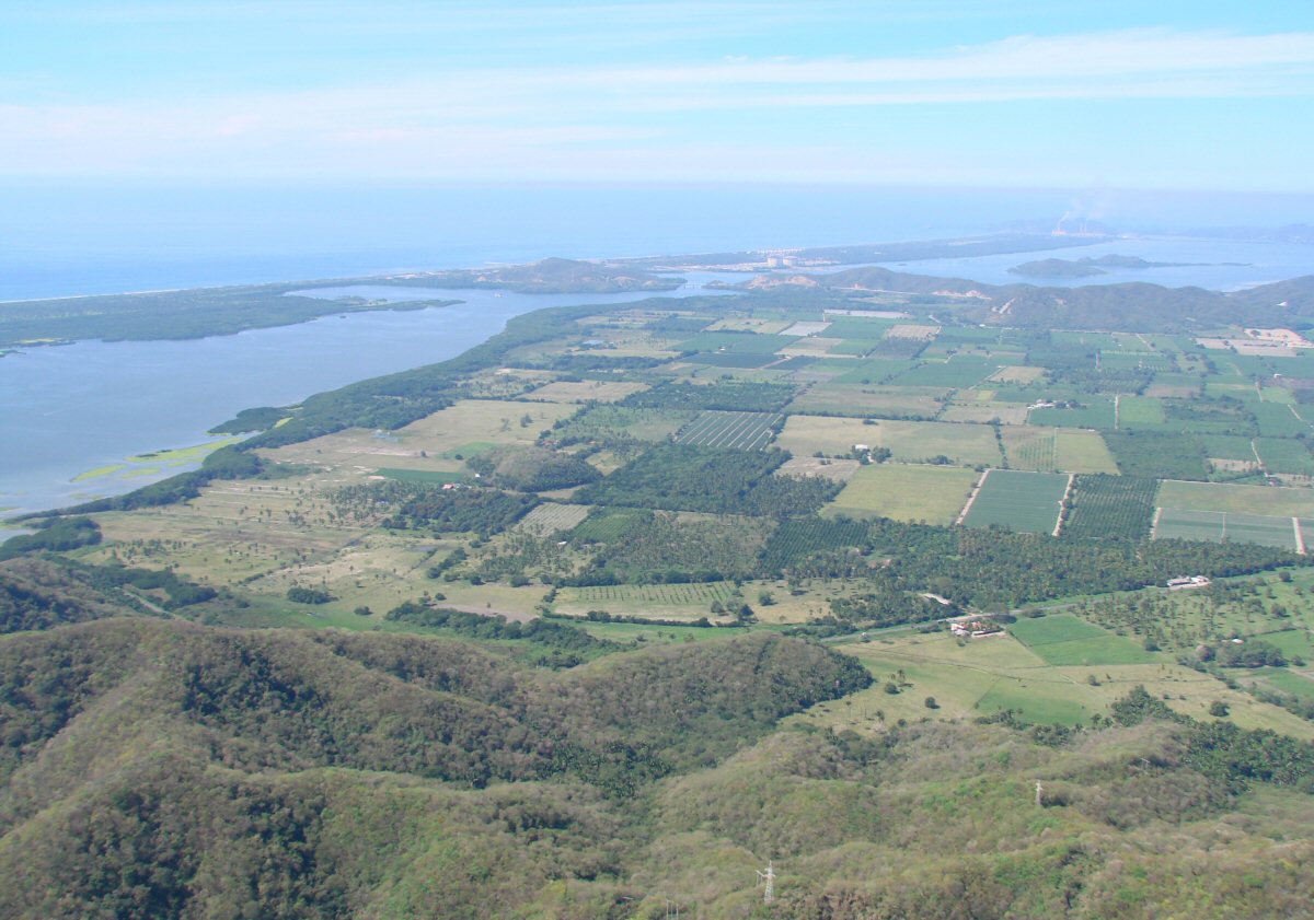
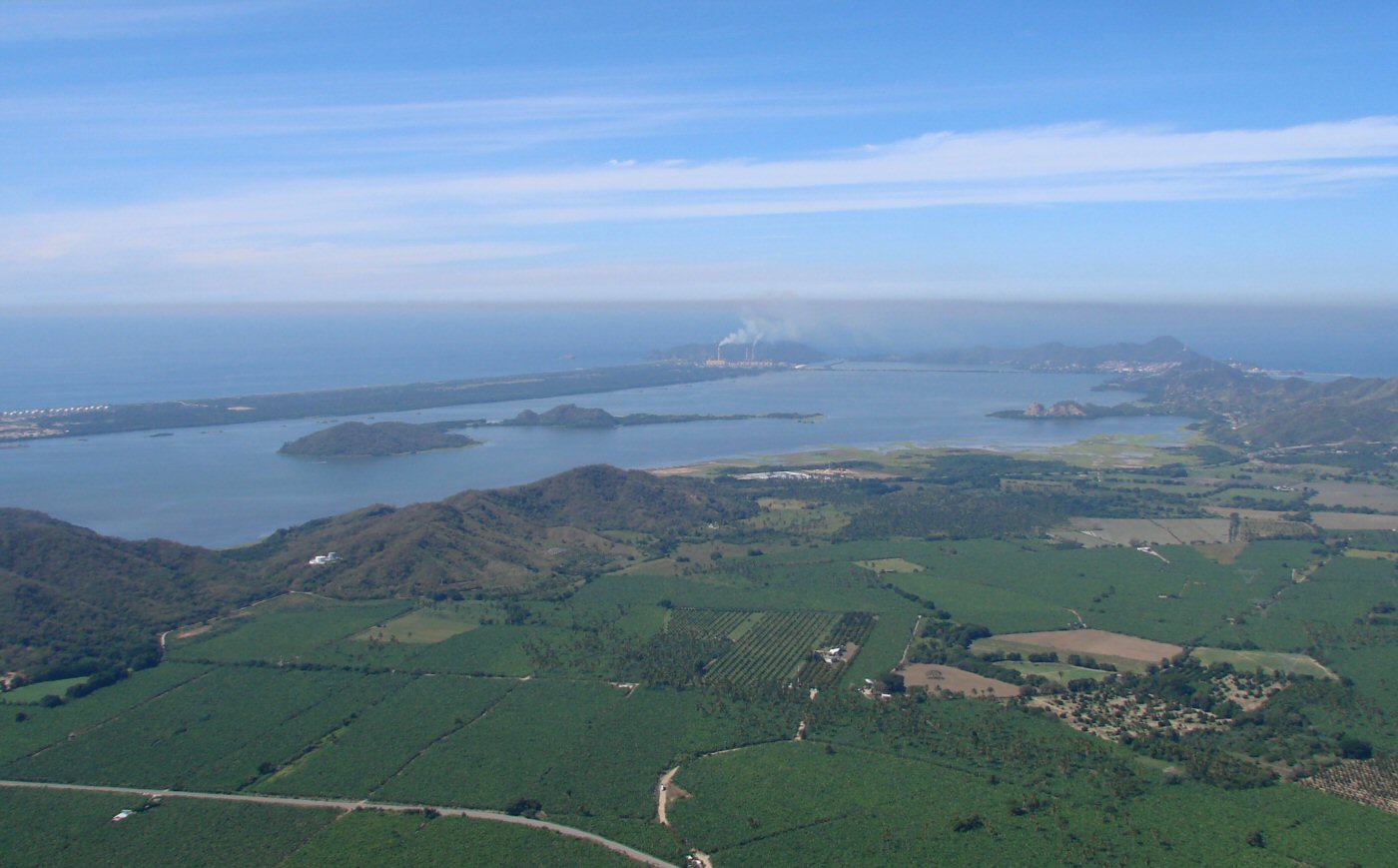
Crossing terrain with Laguna Cuyutlán and Pacific Ocean in background
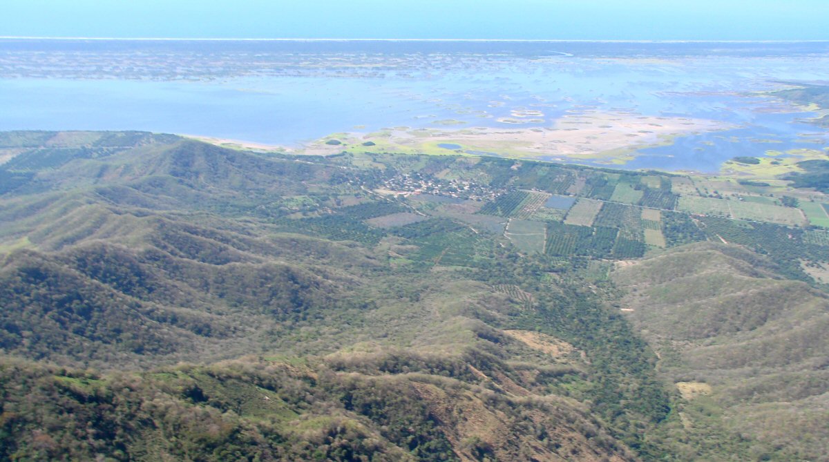
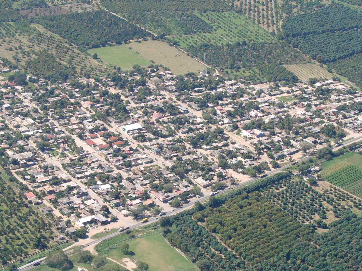
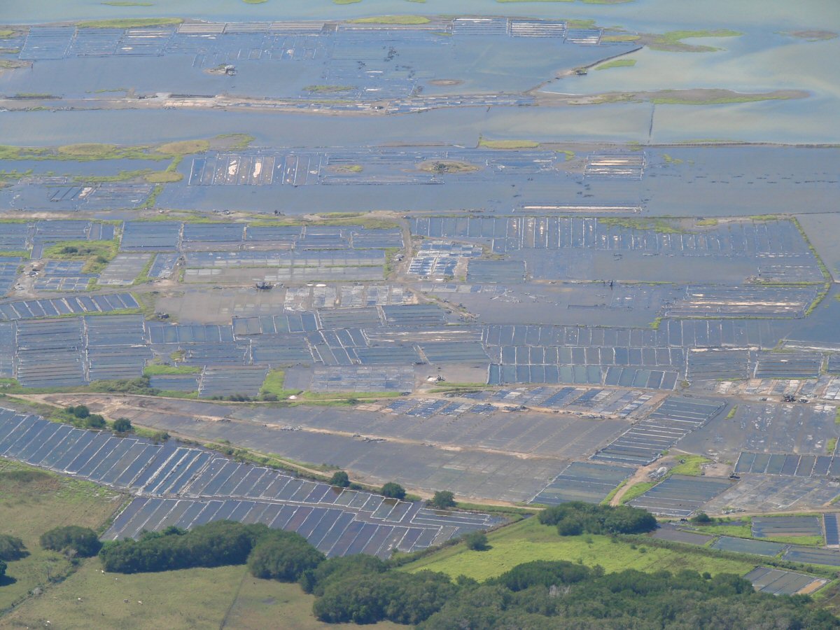
Laguna Cuyutlán has been used for the production of salt for centuries. The town of Los Reyes is at center.
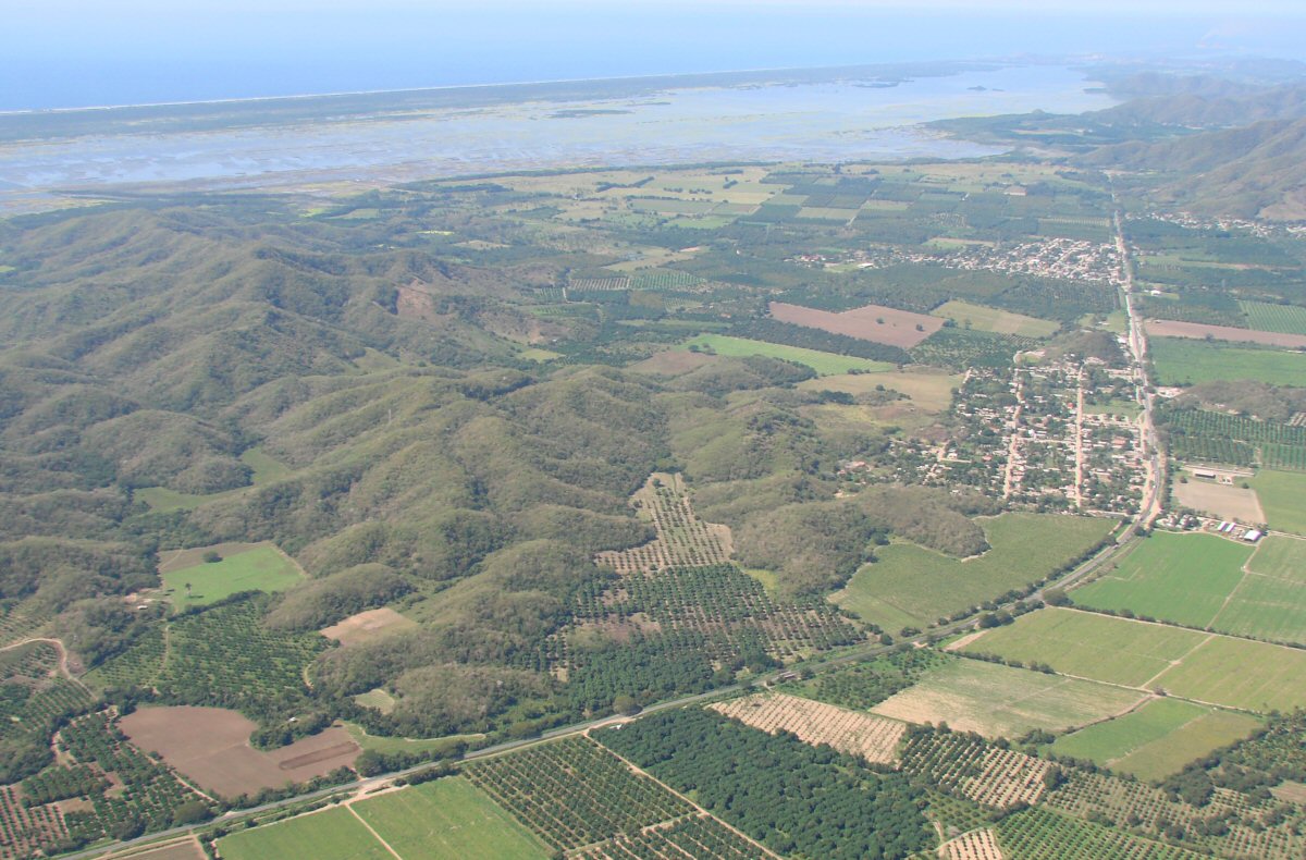
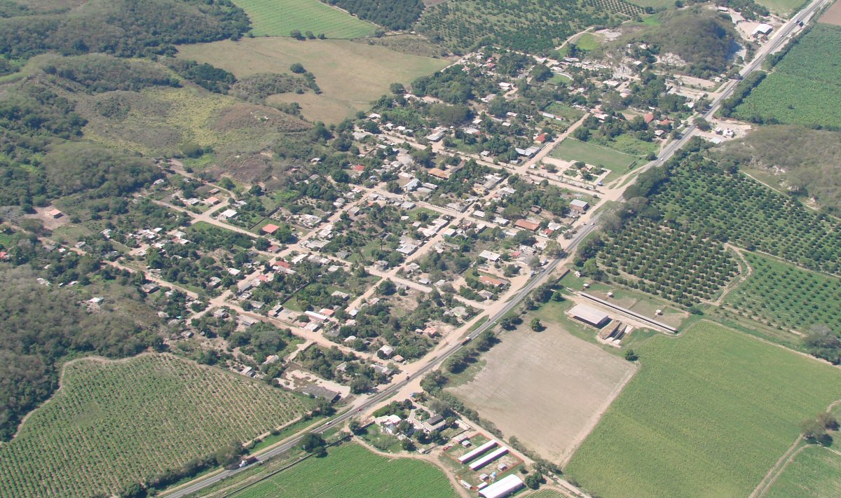
Coastal highway 200 with the town of Santa Rita in foreground, with Venustiano Carranza in background

A closer look at Santa Rita (foreground), Venustiano Carranza (background)
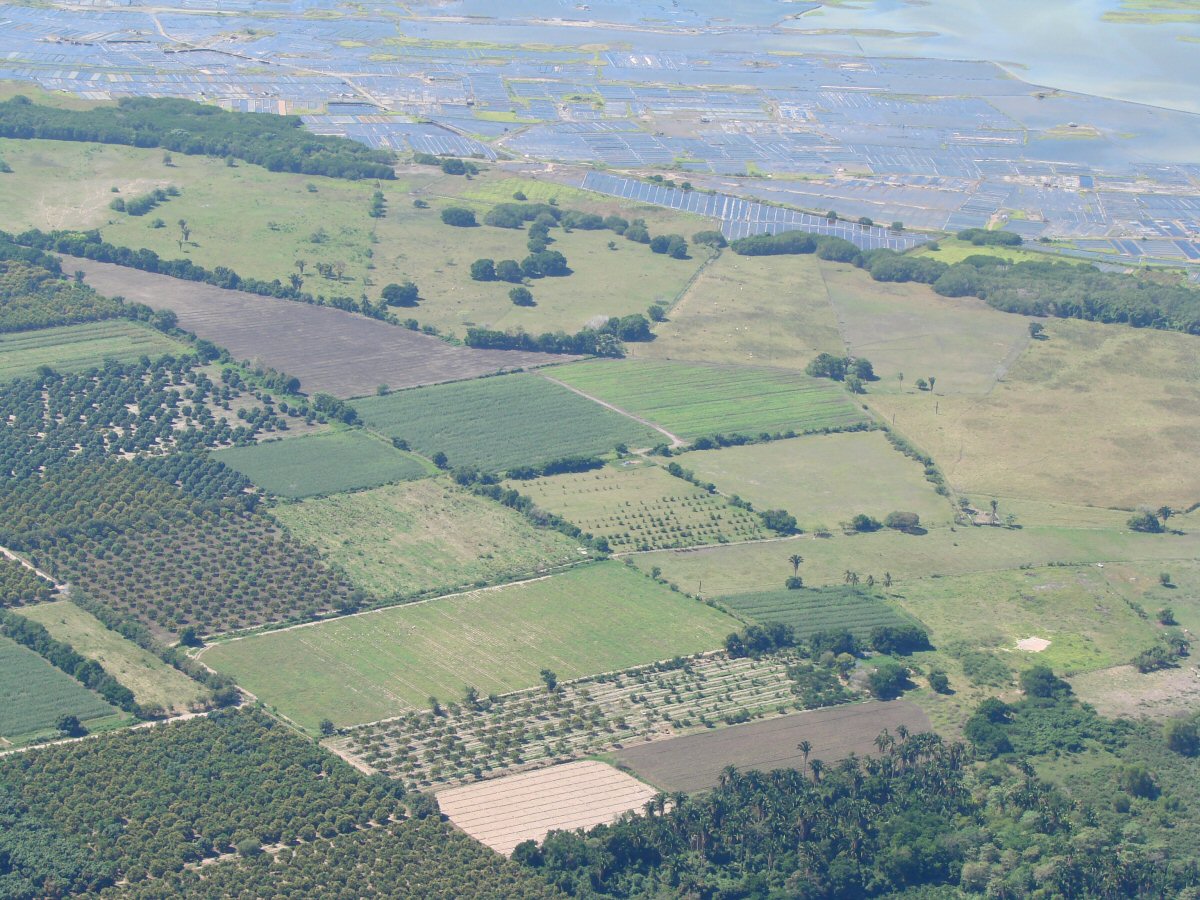
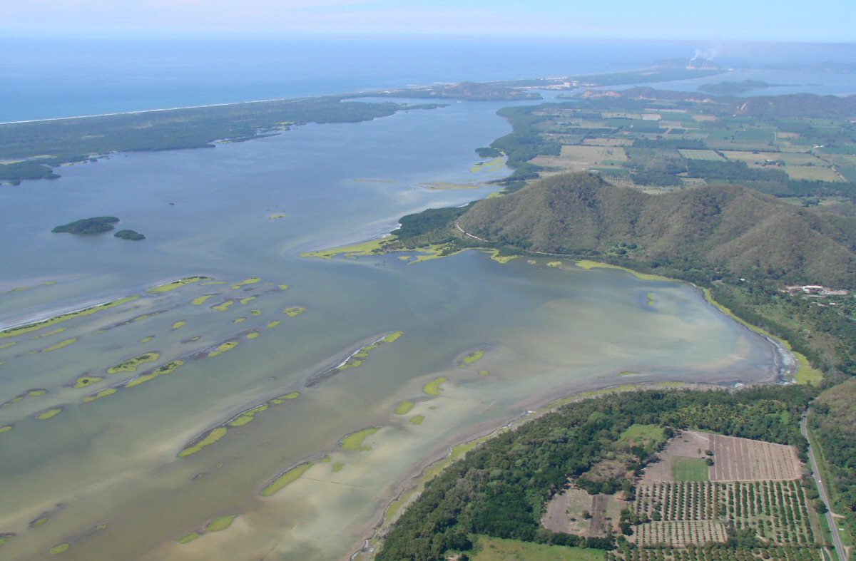
Salt production in Laguna Cuyutlán is seen in background
Recent heavy rains, highly unusual for February, have probably changed the look of Laguna Cuyutlán.

A closer look at the above image
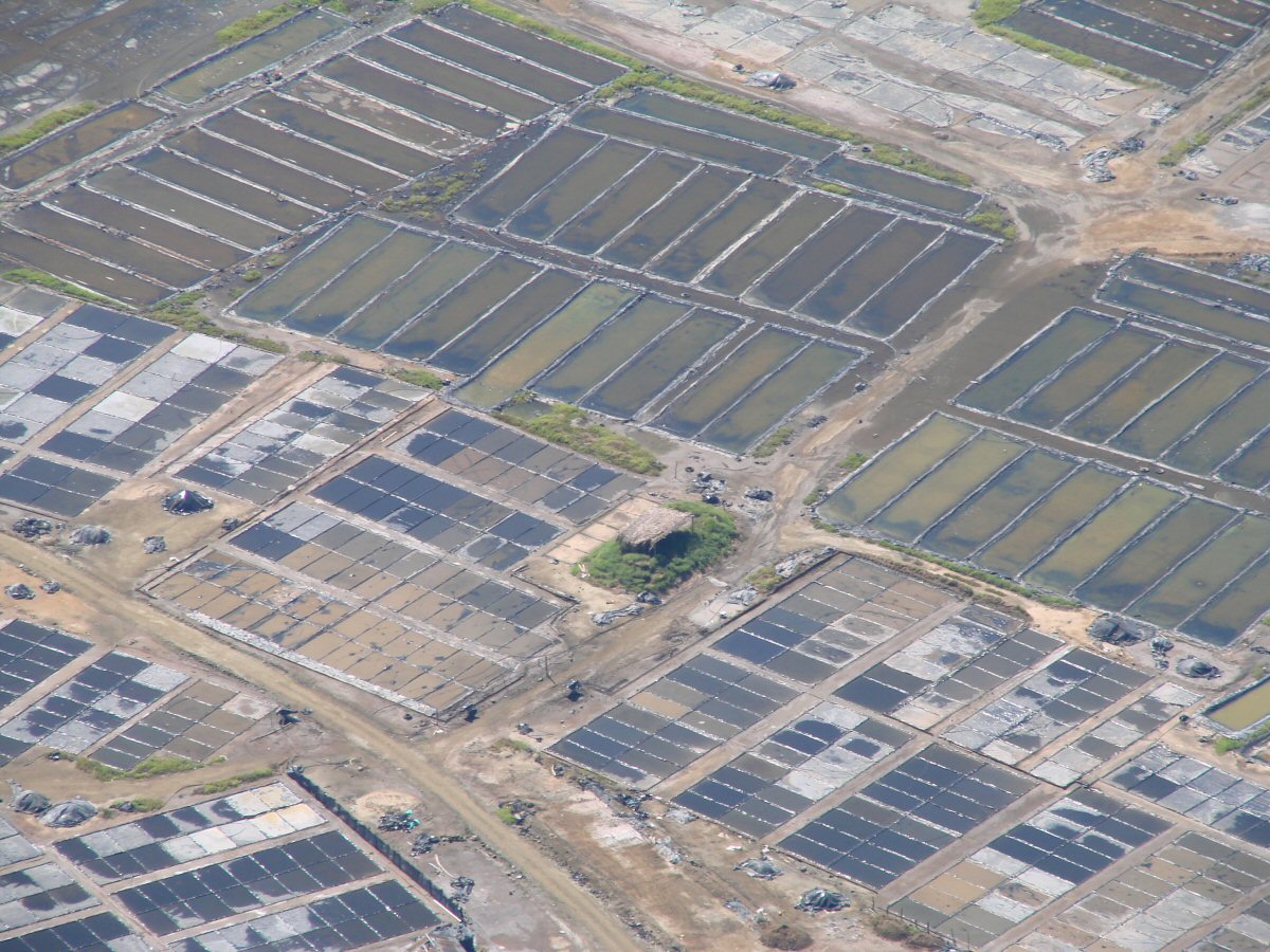
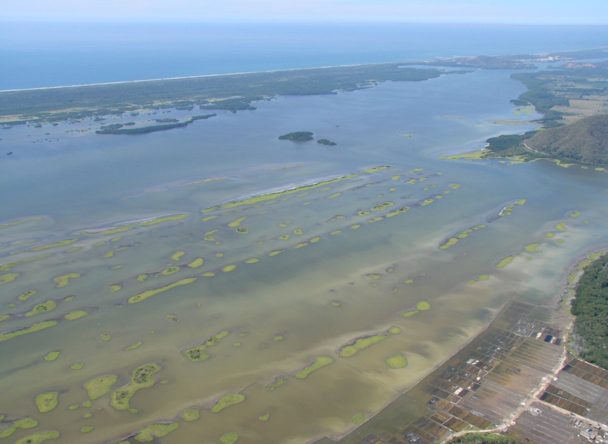
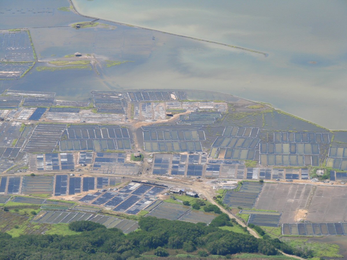
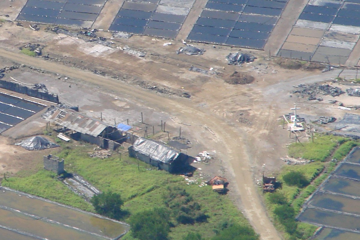
Laguna Cuyutlán
Laguna Cuyutlán
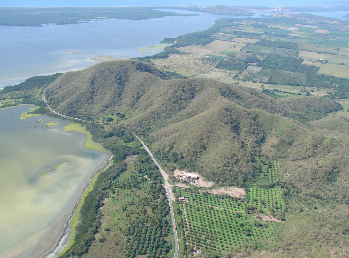
Highway 200 winds along the shore of Laguna Cuyutlán toward Manzanillo
Today, even the power plant looks good
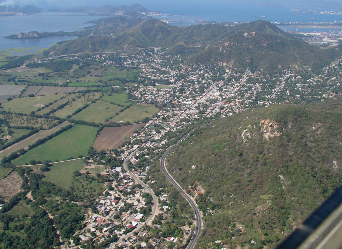
El Colomo, just east of Manzanillo
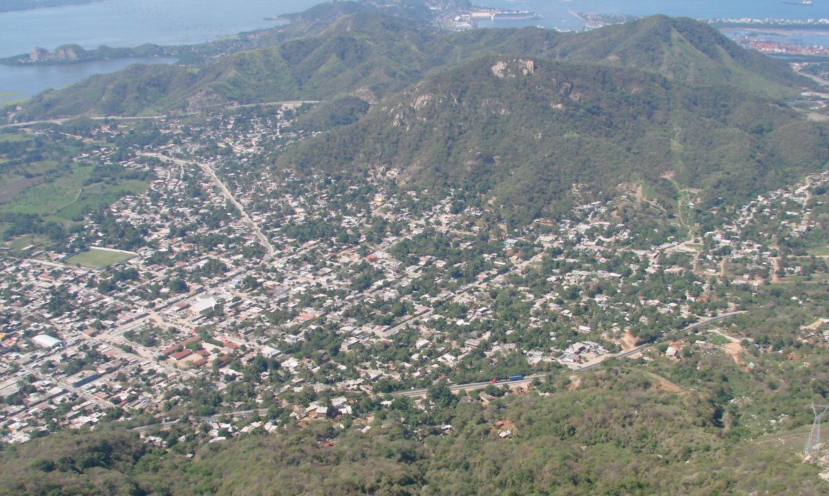
El Colomo with the port of Manzanillo in the background at right
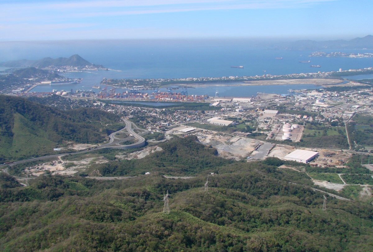
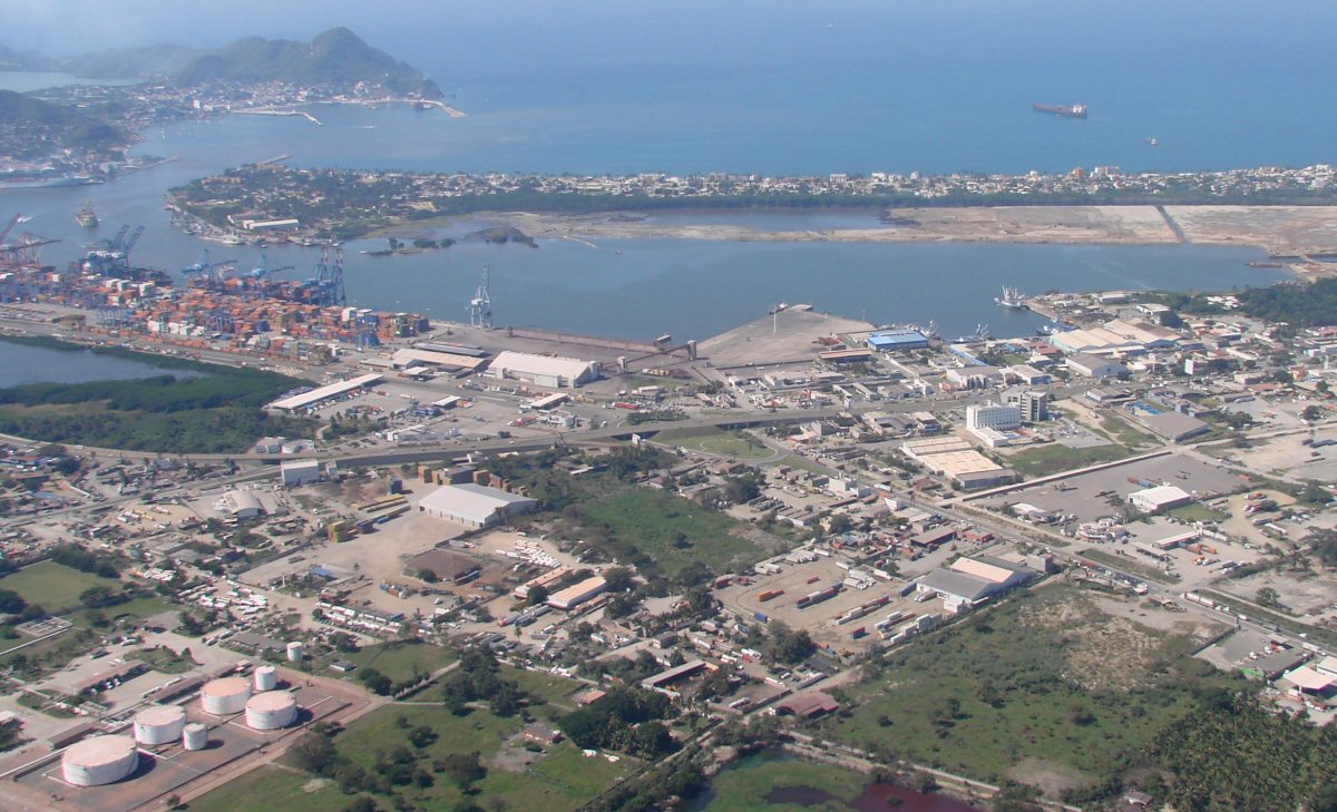
Port of Manzanillo
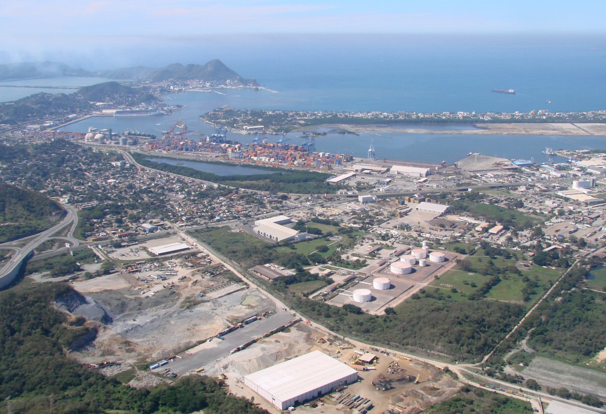
Port of Manzanillo